608 results
Free Common Core RH.6-8.7 resources
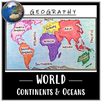
World Map Activity- Label & Color the Continents and Oceans! (Google Compatible)
Use this Continents & Oceans Map Coloring activity to jump-start your lesson! Each student will make their own, personalized world map that focuses on labeling and coloring the continents and oceans, all while enhancing their knowledge of the earth. After the map activity, your students can test their skills with a blank map assessment! A completed, colored map is included to use as reference. This resource is Google compatible, but the blank map is intended to be printed for coloring and
Grades:
5th - 12th
Types:
CCSS:
Also included in: Ancient Civilizations / World Maps BUNDLE- Color & Label Activities!

Sled Dog Racing | Reading Comprehension Passage & ELA Tasks
FREE! HIGH-INTEREST NO PREP PRINTABLES AND EASY DISTANCE LEARNING! Thorough, high-interest 2-page passage about sled dog racing for any time of year. Student will preview & practice relevant vocabulary, read the text closely to answer comprehension questions, practice supporting inferences by citing textual evidence, interpret a visual diagram, and compare viewpoints on the race. WOW!!!Fascinating subject matter that puts readers at ease! Kids love reading and writing about dogs and will not
Grades:
4th - 9th
Types:
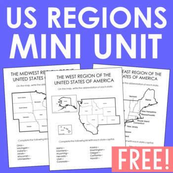
USA Regions Activity FREEBIE | States and Capitals Project | Worksheets
This FREE resource is a stand-alone project that can be turned into a FULL WEEK worth of activities. You'll find 5 region activity pages and capitals/abbreviation resource sheets and note pages. Plus, I've included a thorough teacher's guide giving you plenty of suggestions on how to turn this into one awesome mini-unit!These maps are also located in my customized state history projects. You'll find 86 student activities organized in 8 modules for easy lesson planning. This complete notebook uni
Grades:
4th - 8th
50 States and Capitals Freebie: FREE Study Map, List of States, & Study Guide
Help your students know all 50 states and capitals of the United States with this convenient study guide! Included is a list of states, corresponding capitals, state abbreviations, and a labeled map. For more States & Capitals resources, such as practice worksheets, blank maps, test forms, state research project, crosswords, etc., I highly recommend my 50 States & Capitals Mega-Pack Bundle! Not only will you have many worksheets to choose from, but it is also available digitally for Go
Grades:
Not Grade Specific
Types:
Also included in: American History U.S. History Bundle: Beginnings through the 1850's
Yellowstone National Park Virtual Field Trip (Distance Learning)
Take a Virtual Road Trip to learn about Yellowstone National Park! This resource includes both a Google Slides edition for digital learning, as well as a printable version. Students use Google Earth and multiple print and digital sources to quickly draw information to answer questions pertaining to Yellowstone National Park. This resource is aligned to the Common Core Standards.Students begin by reading a short passage about Yellowstone to build background knowledge before using the amazing feat
Subjects:
Grades:
5th - 8th
Types:
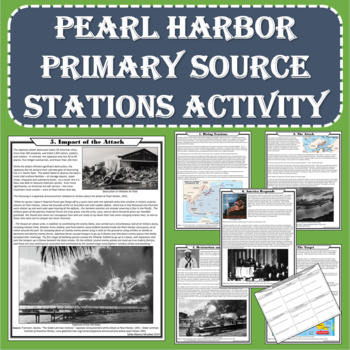
World War II - Pearl Harbor Primary Source Stations Activity (PDF and Digital)
The intent of this lesson is to expose students to a variety of topics in a short amount of time using fun and engaging methods. Each station of this NO PREP activity examines an aspect of the Pearl Harbor attack through gripping primary sources. The activity is available in print and digital format! After completing this lesson, students will understand the causes and effects of the attack, the devastation it achieved, and America’s response. Students will examine each of the following topics:
Grades:
6th - 10th
Types:
CCSS:
Also included in: US History - 1877 to the Present - Station Activities GROWING BUNDLE
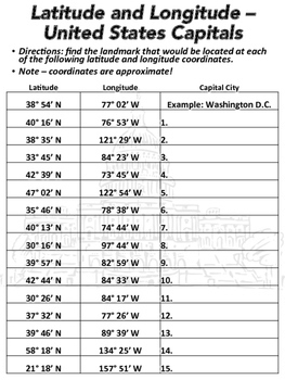
Latitude and Longitude Worksheet - U.S. Capitals
This latitude and longitude worksheet can be used with Google Earth or other maps. The worksheet has 15 sets of coordinates. Students are to find the capital city located at each set of coordinates. A link to a Google Form is included. Unlike the PDF worksheet, the Google Form is multiple choice so it can be automatically graded. A link to download a version of the worksheet formatted for Google Slides is also included.The worksheet was designed to be printed in black and white. State capitals i
Subjects:
Grades:
6th - 8th
Types:
CCSS:
Also included in: Geography Introduction Bundle
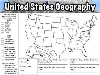
United States Geography Worksheet
This United States Geography Worksheet has 21 items for students to label on a map as well as four questions to answer. Both a PDF and a link to download the worksheet using Google Slides are included. An answer key is included. Items to label include:States: Alaska, California, Florida, Illinois, New York, and TexasCities: Chicago, Los Angeles, New York City, Washington D.C.Bodies of water: Atlantic Ocean, Great Salt Lake, Gulf of Mexico, Lake Michigan, Mississippi River, Pacific OceanGeographi
Subjects:
Grades:
5th - 7th
Types:
CCSS:
Also included in: Geography Worksheet Bundle
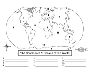
Continents and Oceans of the World Worksheet
This sheet allows students to fill in the continents and oceans of the world by matching them to their assigned number on the map. This activity is great for a warm-up activity, a class activity, a quiz or assessment, or an emergency sub plan. This activity is best used if students are given the chance to fill it in on their own first, and then it is reviewed as a class on the projector/SMART Board. Students may also color in and label other parts of the map as appropriate.
Grades:
5th - 8th
Types:
CCSS:
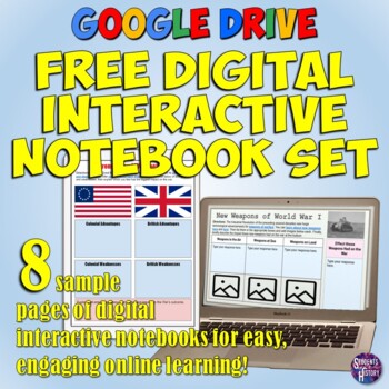
Digital Resources Social Studies Interactive Notebook Set for Google Drive
If you have wanted to use "Digital Interactive Notebooks" or "hyperdoc-style" activities in your social studies class, this is a great free resource to try out! These Google Drive Notebook pages effectively use technology to enhance learning in social studies. This download includes 7+ Google Drive Interactive Notebook pages that are ready to be implemented right away in your US or World History classes! Each page includes links to relevant web sources that students must read and then use to cra
Subjects:
Grades:
5th - 10th

Reading in Social Studies: Explore 5 Themes of Geography in Sled Dog Racing FREE
HIGH-INTEREST NO PREP PRINTABLES AND EASY DISTANCE LEARNING! Bring literacy in social studies into ELA by having students examine 5 themes of geography which are revealed in a fascinating Informational Text Passage full of historical information "Sled Dog Racing." Engaging activity that gets students motivated to use critical thinking skills & locate central ideas!Subject matter motivates reluctant readers! Kids love reading about dogs.NOW IN INTERACTIVE GOOGLE SLIDES FOR EASY DISTANCE LEARN
Grades:
4th - 9th
Types:
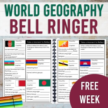
World Geography Bell Ringer: FREE WEEK (Print & Digital)
This resource contains a one week sample (with answer key!) of the World Geography Bell Ringer. Your students will use the internet to research and fill in facts about a new country each day of the week. This resource is designed to be used as a daily warm-up or for early finishers. However, this could also be used as a station activity and completed in one sitting. This sample also includes a research tip sheet with website links for your students to access facts and data. Your students will us
Grades:
7th - 10th
Types:
CCSS:

China PowerPoint - Geography, History, Government, Geography, Culture, and More
This 53 slide China PowerPoint presentation provides an overview of its history, geography, government, economy, and culture. A free worksheet to go along with this presentation can be found here: China Worksheet - FREE. A link to download a version formatted for Google Slides is also included.Includes:Geography of China- 13 slidesChina's Flag - 1 slideHistory of China - 23 slidesChina's government - 4 slidesChina's economy - 3 slidesChina's culture - 4 slidesMiscellaneous - 4 slidesThis present
Grades:
6th - 8th
Types:
CCSS:
Also included in: Asia Bundle

U.S. History Quote of the Week: Free Sample
Integrate literacy and social studies with U.S. History Quote of the Week!As students learn about U.S. history, they practice literacy skills like:making inferencesresearching & summarizingidentifying the main idea, historical context, and author’s purposeand responding to promptsU.S. History Quote of the Week is easy to use and requires little prep. From thorough instructions to answer keys, it’s all there.Even better, I’ve made it engaging! Your students will enjoy dissecting and talking a
Grades:
5th - 8th
Types:
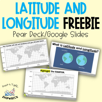
FREEBIE Latitude and Longitude Map Geography Skills Google Slides Pear Deck
Looking to teach your students the basics of latitude and longitude? Look no further than these interactive Pear Deck slides! This engaging lesson will teach students how to identify lines of latitude and longitude, as well as the Equator and Prime Meridian. With activities that challenge students to determine the definitions of Longitude and Latitude, and opportunities to create and call out a list of locations on a world map using Google Earth or an atlas (not included), this lesson is designe
Grades:
5th - 9th
Types:
Absolute and Relative Location- Map Skills Practice Worksheet
Do you teach the Five Themes of Geography in your classroom? This lesson will help your students practice their map skills to find absolute and relative locations.
Thanks for stopping by. Please check out my other materials.
Grades:
5th - 10th
Types:
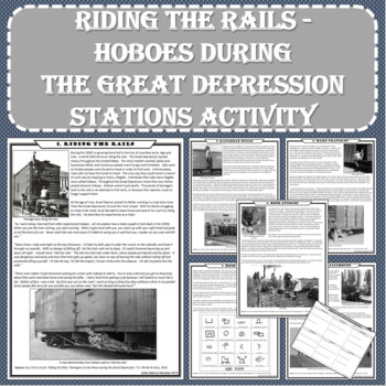
Great Depression Hoboes Primary Source Stations Activity (Print and Digital)
The intent of this lesson is to expose students to a variety of topics in a short amount of time using fun and engaging methods. The resource is available in print and Google Docs formats! Each station of this NO PREP activity contains enthralling primary source accounts of hoboes during the Great Depression. After completing this lesson, students will understand the misery and suffering in America during the Great Depression. For in-class use just print and go or use the digital format to rea
Subjects:
Grades:
6th - 10th
Types:
CCSS:
Also included in: Great Depression - New Deal Stations Activity BUNDLE
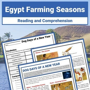
Ancient Egypt Farming Seasons Reading Passage and Comprehension Worksheets
Discover how the Sirius Star Constellation signaled the beginning of Ancient Egypt's Agricultural year. Enhance your exploration of Ancient Egypt Geography and the Nile River with this fun 2-page Reading Passage and Differentiated Comprehension Worksheets. Sample Words Wall Slides are also included. Unlock access to 10+ FREE BONUS PAGES when you click on the link in the resource PDF. This free resource is part of my Ancient Egypt Geography and Agriculture Reading Passages and Comprehension Reso
Grades:
6th - 9th
Types:
Distance Learning Social Studies Activity: Virtual Museum Exhibit Project
If you are looking for a FREE distance learning social studies activity, look no further! This virtual museum exhibit project is perfect for helping your students research a topic and curate the information they learn in an alternative way. This resource is available both as a Google Slideshow and as a PDF! To create their exhibit, students will not only conduct research about their assigned topic, but they will be selecting artifacts or primary sources and organizing the information they found
Grades:
6th - 9th
Types:
CCSS:
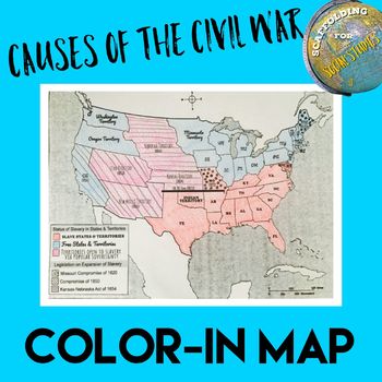
Causes of the Civil War: Breakdown of Compromises Color-In Map
Students of all ages learn from manipulatives and kinesthetic learning experiences. I noticed during my Civil War unit that my students were having a hard time remembering the provisions of the compromises over slavery and their effect on the intensifying debate leading up to the Civil War. However, I was also short on time and did not want to spend a whole class period creating various maps for their INBs.So I created this map! The various fonts provide easy-to-find and understand indicator
Subjects:
Grades:
5th - 12th
CCSS:
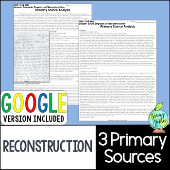
Reconstruction Primary Documents Activity - Primary Sources - Political Cartoon
American Reconstruction primary document analysis packThis resource includes 3 carefully curated primary sources to analyze that will enhance any US Reconstruction Era unit. It is aligned to my Reconstruction Unit Bundle. Each of the primary documents focuses on one aspect of Reconstruction to analyze. Encourage your students to think deeply about the topics associated with Reconstruction. You can also assign the analysis activities as homework. There is a PDF & a GOOGLE version of the prima
Subjects:
Grades:
6th - 11th
Types:
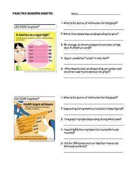
Practice Reading Graphs: USA Today FREEBIE, DISTANCE LEARNING, EASEL ACTIVITY
*** UPDATED FOR DISTANCE LEARNING***Assign to your students via Google Classroom, Answer boxes are already provided for your students to input their answers. The Answer Key has been removed in the digital activity, but you can still access it in the pdf version.This digital activity presents 4 graphs from the popular "USA Today Snapshots" to provide practice with all aspects of reading graphs (3 bar graphs, 1 pie chart) - interpreting data, drawing conclusions, recognizing sources, etc. Th
Subjects:
Grades:
6th - 9th, Adult Education
Types:
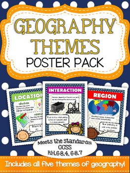
Five Themes of Geography Poster Pack
Mrs. K in the Middle brings you yet another quality product targeting essential vocabulary! Anchor your geography unit with these five basic themes posters! Bright and colorful graphics highlight place, location, region, movement and interaction. Use these posters to introduce a topic and to reinforce as you build your unit!
Subjects:
Grades:
5th - 8th
Types:
Europe PEGS Factors Practice Activity and Worksheet | Social Studies | Google
Examine Europe by looking at its PEGS factors (Political, Economic, Geographic, Social). Challenge students to classify & analyze facts about the continent by completing a fun, practice activity.Social Studies curriculum changes focus, sometimes drastically, from year to year. The PEGS factors are common themes that unite all SS classes. Similar ideas are taught as PESTLE, STEEP, or PEST. Building a strong foundation with these concepts leads to vertical alignment across grade levels. Use PE
Grades:
5th - 12th
Showing 1-24 of 608 results

