346 results
11th grade geography resources on sale
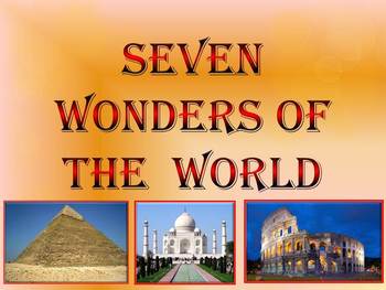
Seven Wonders of the Ancient World & New 7 Wonders Interactive
This is a beautiful and informative 23 slide PowerPoint presentation (+ 23 PDF). This is a super fun slide show. I've given you 20 files to look at in the Download Preview.The zip file contains: 1. PowerPoint presentation 2. PDF (23 pages) Seven Wonders of the Ancient World: 1.Great Pyramid of Giza 2. Hanging Gardens of Babylon 3. Temple of Artemis 4.Statue of Zeus at Olympia 5. Mausoleum at Halicarnassus 6. Colossus of Rhodes 7.Lighthouse of Alexandria New 7 Wonders of the World: 1. Gr
Subjects:
Grades:
K - 12th
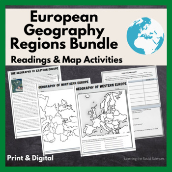
European Regional Geography Bundle Readings & Map Activities: Print & Digital
The readings explain the major geographical and cultural items of Northern, Eastern, Southern, and Western Europe.Each region comes with two map activities, one where they simply list the countries that are numbered on a map (used during distance learning) and another one where they color and label everything.The link to Google Versions is in the key section on the Microsoft Doc & PDF version.Multiple Editable Formats: I have it in multiple formats so you can utilize a version that works for
Grades:
7th - 12th
Types:
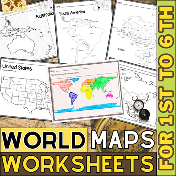
World Map with Countries | Continents and Oceans Blank Map | 1st to 12th Grade
These printable maps will be useful whether you are studying geography, world history, countries around the world, or you are just trying to show your kids the route you are taking on your next vacation! For kids learning about states, we've included a printable map of the world, as well as maps of North and South America, Europe, Asia, Australia, Africa, and Antarctica. Furthermore, the world map printable set comprises labeled and blank options for printing. To print the printable map PDF file
Grades:
K - 12th
Types:
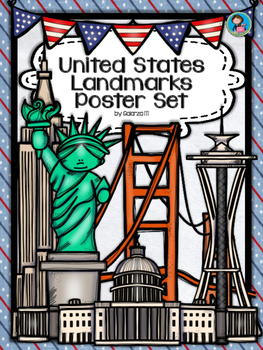
United States Landmarks Facts & Poster Set
If you are looking to improve your students skills in Geography here is the resource you need. I had so much fun researching these Landmarks and sparkle my skills also with the new facts on the most famous landmarks of the United States. Lots of information, but cool things you can use in class. Here is a set of Posters with their Fact Sheet. You can print it on card stock with double sided with the facts or separated to create your own activities for your students. The will have fun with ge
Grades:
PreK - 12th, Higher Education, Adult Education, Staff
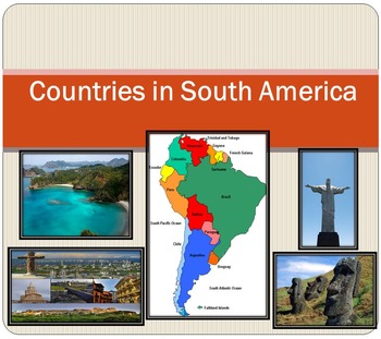
South America Countries PowerPoint Brazil Chile Argentina Ecuador distance learn
South America Political map Countries PowerPoint presentation Geography The zip file contains: 2 products - PowerPoint presentation (18 slides)- PDF - 18 cards (Countries ; Area; Population) - Argentina- Bolivia- Brazil- Chile- Colombia- Ecuador- Falkland Islands - French Guiana- Guyana- Paraguay- Peru- South Georgia and the South Sandwich Islands- Suriname- Trinidad and Tobago- Uruguay- VenezuelaI've given you 4 slides to look at in the Download Preview – take a look! ***********************
Subjects:
Grades:
PreK - 12th
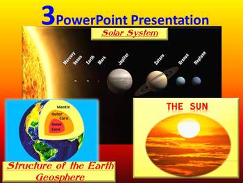
Solar System Planets The Sun The Earth PowerPoint Presentation distance learning
This product includes 3 PowerPoint Presentation /3 in 1/Solar System Planets - The Sun - The Earth - Space - 3 Interactive PowerPoint Presentation This is a beautiful and informative 47 slide PowerPoint presentation.This is a super fun and interactive slide show. - Slide 3- 19: Solar System - Inner planet- Mercury, Venus, Earth, Mars; Outer planets-Jupiter, Saturn, Uranus, Neptune; Earth's orbit - Slide 20- 31: The Sun- The structure of the Sun;Solar eclipse - Slide 32- 47: Structure of the
Subjects:
Grades:
K - 12th

Continent Asia Reading Comprehension | Asian History Geography and Culture
Discover the multifaceted wonders of Asia with our comprehensive reading bundle! Delve into the rich history, diverse geography, vibrant cultures, ancient religions, myriad languages, captivating art, enchanting music, traditional dances, and mouthwatering cuisine of Asia. These engaging worksheets are designed to enhance reading comprehension and foster a deeper understanding of the complexities and beauty of the Asian continent. Download now to embark on an enlightening journey through Asia!As
Grades:
5th - 12th
Types:
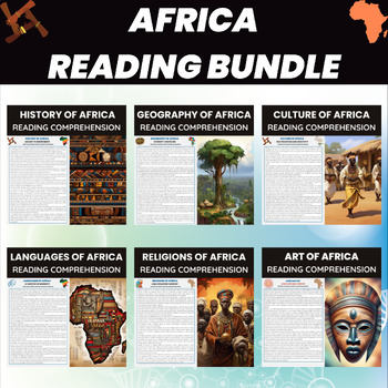
Africa Reading Comprehension Worksheets | African Continent History Geography
Explore Africa's rich history, geography, culture, languages, religions, and art with our comprehensive worksheets bundle. From ancient civilizations to vibrant traditions, these worksheets engage students with diverse aspects of the African continent. Perfect for enhancing reading comprehension and fostering a deeper understanding of Africa's multifaceted identity. Download now to dive into the world of Africa!Africa Reading BundleHistory of AfricaGeography of AfricaCulture of AfricaLanguages o
Grades:
5th - 12th
Types:
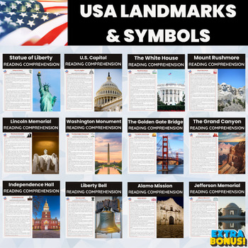
American Landmarks Reading Comprehension | USA Landmarks and Symbols
Dive into the rich tapestry of American history with our comprehensive USA American Landmarks and Symbols Reading Comprehension Bundle. This bundle is a valuable resource, covering iconic landmarks and symbols that represent the essence of the United States.What's Included:1. Statue of Liberty2. The U.S. Capitol3. The White House4. Mount Rushmore5. The Lincoln Memorial6. The Washington Monument7. The Golden Gate Bridge8. The Grand Canyon9. Independence Hall10. Liberty Bell11. Alamo Mission12. Je
Grades:
5th - 12th
Types:
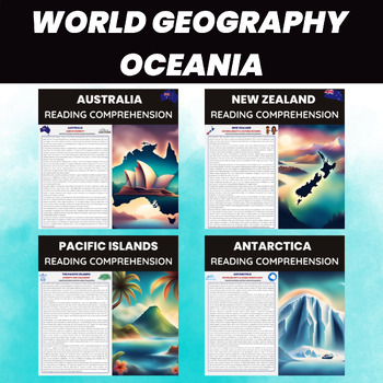
Oceania Reading Passages | Australia New Zealand Pacific Islands Antarctica
Explore the wonders of Oceania with our engaging reading passages! Dive into the diverse landscapes and cultures of Australia, New Zealand, the Pacific Islands, and Antarctica. Perfect for classrooms, these passages offer insights into the geography, history, and unique features of each region. Download now to take your students on an unforgettable educational adventure through Oceania!⭐ Similar Products --> Click HERE⭐ Follow Me --> Click HERE⭐ TPT Credit --> Don't forget to leave your
Grades:
5th - 12th
Types:
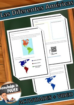
Las Distintas Américas, Distance Learning Spanish
The translation of America and American from English to Spanish, causes a lot of stir. Different cultural issues have made these words mean different things in both languages. That's why today I bring a resource that explains to our students what these words mean in each language through a fun story and some maps. This product can be used digitally or physically. It includes: P1: -History "The Different Americas" P2; 3: -Maps to explain the different divisions of the American Continent. P4: - S
Subjects:
Grades:
8th - 12th
Types:
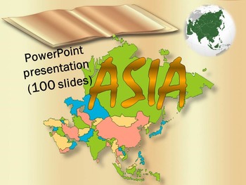
Asia Countries China India Japan Vietnam Nepal Russia Turkey distance learning
Asia Countries Interactive PowerPoint presentation (100 pages)This is a beautiful and informative 100 slide PowerPoint presentation. This is a super fun slide show. I've given you 10 pages to look at in the Download Preview.ASIA*Afghanistan *Armenia *Azerbaijan*Bahrain *Bangladesh *Bhutan *Brunei *Burma*Cambodia * China*East Timor *Georgia*India *Indonesia * Iran *Iraq *Israel*Japan *Jordan*Kazakhstan *Kuwait * Kyrgyzstan*Laos *Lebanon*Malaysia *Maldives * Mongolia*Nepal
Subjects:
Grades:
1st - 12th
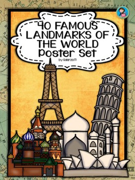
40 Famous Landmarks of the World Poster Set
If you are looking to improve your students skills in Geography here is the resource you need. I had so much fun researching these Landmarks and sparkle my skills also with the new facts on the most famous landmarks of the World. Lots of information, but cool things you can use in class. Here is a set of Posters each with a Fact Sheet. You can print it on card stock with double sided with the facts or separated to create your own activities for your students. The will have fun with geography
Grades:
PreK - 12th, Higher Education, Adult Education, Staff
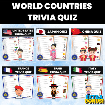
World Countries History and Geography Quiz Bundle
Embark on a thrilling global journey with our World Countries History and Geography Quiz Bundle! Test your knowledge and explore the rich tapestry of nations that make up our diverse world. This comprehensive bundle includes trivia quizzes for a variety of captivating countries, each offering a unique blend of history, culture, and geography.Included Quizzes:United States Trivia Quiz: Delve into the heart of the United States, from its founding fathers to iconic landmarks, and discover the compe
Grades:
4th - 12th
Types:
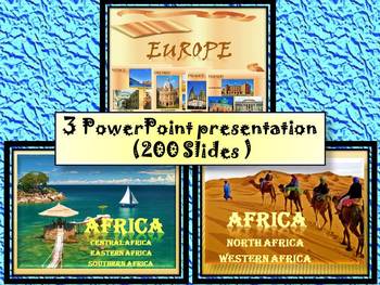
Africa Countries Egypt South Africa Europe distance learning
Africa, Most beautiful cities in Europe, Europe- 3 PowerPoint presentation 200 pages- Interactive slide showThis bundle includes: 3 PowerPoint presentationThis is a super fun and interactive slide show. 1. Africa- Central Africa, Eastern Africa, Southern AfricaPowerPoint (62 Slides)!!! - Africa- Central Africa, Eastern Africa, Southern Africa political map -Central Africa* Chad* Cameroon* Central African Republic* Congo* Gabon* Equatorial Guinea* Angola-Eastern Africa* Eritrea* Djibouti* Ethio
Subjects:
Grades:
1st - 12th
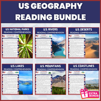
US Geography Reading Bundle | American Geography Landscapes Reading
Embark on an educational journey across the diverse landscapes of the United States with our captivating "US Geography Reading Bundle." This comprehensive bundle is a treasure trove of knowledge, encompassing a range of topics that explore the geographical marvels of the country.With engaging reading comprehension resources on US national parks, rivers, deserts, lakes, coastlines, and mountains, this bundle provides a deeper understanding of the rich tapestry of American geography. From the stun
Subjects:
Grades:
4th - 12th
Types:
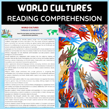
World Cultures Reading Comprehension | World History & Geography Reading
Embark on a captivating journey across continents and traditions with our World Cultures Reading Comprehension resource. Designed for middle and high school students, this comprehensive collection unravels the rich tapestry of global diversity. From ancient rituals to modern customs, students will explore the unique stories that define different societies.Immerse yourself in the lives of people from around the world, their histories, values, and contributions, while honing essential reading comp
Grades:
5th - 12th
Types:
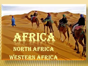
Africa Countries PowerPoint presentation Political map Egypt distance learning
Africa North Africa Western Africa PowerPoint presentation Africa This is a beautiful and informative 50 slide PowerPoint presentation. I've given you 6 slides to look at in the Download Preview.Africa- North Africa, Western Africa- political map - North Africa* Morocco* Algeria* Tunisia* Libya* Egypt* Sudan* Western Sahara - Western Africa* Mauritania* Mali* Burkina Faso* Niger* NigeriIvory Coasta* Benin* Togo* Ghana* Ivory Coast* Liberia* Sierra Leone* Guinea* Guinea- Bissau* Senegal* Gambia-
Subjects:
Grades:
K - 12th
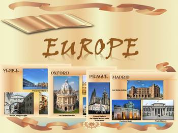
Europe Cities in Europe Countries Maps Spain Italy Russia distance learning
Europe Most beautiful cities in Europe Interactive slide showThis is a 95 slide PowerPoint presentation.This is a super fun and interactive slide show. Most beautiful cities in EUROPE:* Portugal- Lisbon, Porto * Spain- Madrid, Córdoba, Seville, Granada , Barcelona* France- Paris, Lyon, Nice* Italy- Rome, Florence, Venice, Bologna* Croatia - Dubrovnik * Greece- Athens* Turkey- Istanbul* Belgium- Brussels, Bruges, Antwerpen* Netherlands- Amsterdam* Germany- Berlin, Lübeck, Hamburg, Munich, Dres
Subjects:
Grades:
K - 12th
Valentines Day Love in Many Languages Bulletin Board Set
Here you have an ideal product to reinforce the geography skills, with a "Lovely touch". These Set will liven up any room or any school hall. You can even decorate a door or a quick Bulletin Board (Bunting, posters, decorative paper, borders and ready!) Also you can create a multilingual activity with your students with the black and white version, ready to color!It Includes:Children of 31 countriesNew!! Children of 31 countries coloring pages (black and white)2 Borders designsHappy Valentines
Subjects:
Grades:
PreK - 12th, Higher Education, Adult Education, Staff
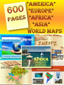
Continents BUNDLE America Europe Asia Africa Back to School distance learning
Continents BUNDLE - World Geography - North America - South America- Europe - Asia - Africa - Australia - World Maps - 600 pages 11 products The zip file contains: 9 products PDF + 2 PowerPoint presentation1.North America- Central America 51 slide PowerPoint presentation ** North America- United States- Canada- Greenland- Mexico** Central America- Belize- Costa Rica- El Salvador- Guatemala- Honduras- Nicaragua- Panama2. Political map of South America (18 pages) PDF- Argentina- Bolivia- Brazil
Grades:
2nd - 12th
Types:
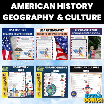
American History Geography Culture Reading and Quiz Bundle | US Reading and Quiz
Embark on an immersive journey through American history, geography, and culture with our 'American History Geography Culture Reading Bundle.' This comprehensive resource introduces your students to the multifaceted tapestry that is the United States, encompassing its rich history, diverse geography, and vibrant culture.American History Reading: Dive deep into the annals of American history, from the early colonial period to modern times. Explore pivotal events, influential figures, and the evolu
Grades:
4th - 12th
Types:
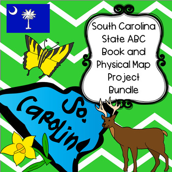
South Carolina Bundle--South Carolina ABC Book and Physical Map Research Project
This is a South Carolina themed project bundle, and includes two social studies research projects at a 20% off discounted price.You will receive:South Carolina ABC Book Research Project--Digital and Paper-BasedSouth Carolina State Physical Map Research ProjectYou may also be interested in these items from my store:ALABAMA STATE PHYSICAL MAP RESEARCH PROJECTALASKA STATE PHYSICAL MAP RESEARCH PROJECTARIZONA STATE PHYSICAL MAP RESEARCH PROJECTARKANSAS STATE PHYSICAL MAP RESEARCH PROJECTCALIFORNIA S
Subjects:
Grades:
4th - 12th
Types:
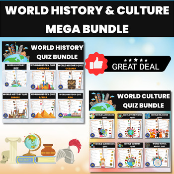
World History and World Cultures MEGA BUNDLE Quiz
Explore the rich tapestry of human history and diverse cultures with our World History and World Cultures MEGA BUNDLE Quiz ! This comprehensive quiz pack is a treasure trove of knowledge, covering key historical events, civilizations, cultural milestones, and global perspectives. From ancient civilizations to modern societies, this quiz offers an exciting way to assess your students' understanding of the world's captivating past and its vibrant present. Engage your students in an educational jou
Grades:
5th - 12th
Types:
Showing 1-24 of 346 results

