28 results
Geography interactive notebook images
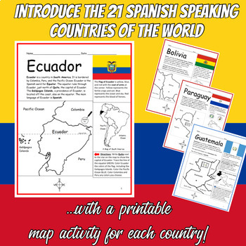
Spanish Speaking Countries Printable Worksheets BUNDLE
Introduce your students to the 21 Spanish-speaking countries one country at a time with this bundle of printable worksheets! Each country includes two worksheets (plus answer key). Simple map activity and reading comprehension questions. Your students will read a brief introduction to the country (location, capital, flag, language), write the capital next to the star on the map, color the small map, and use the map and compass to answer questions on page 2. Colored pencils and a pen or pencil ar
Subjects:
Grades:
3rd - 5th
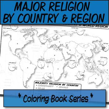
Major Religion by Country & Region Map/Charts **Coloring Book Series**
**Geography Coloring Book Series**Guide your lecture notes with these printable coloring book pages of the majority of practiced world religions by country and region. These are great for printing multiples and cutting for student interactive notebooks as minis. These are particularly great for AP Human Geography, any geography course, religion, cultural studies, or anthropology course.The format is .PNG to allow for you to paste and stretch in Word. I've found that .3'' margins (all sides) is t
Grades:
Not Grade Specific
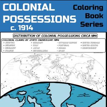
Colonial Possessions Map, circa 1914 **Coloring Book Series**
Guide your lecture notes with these printable coloring book pages of global colonial possessions circa 1914. These are particularly great for AP Human Geography, AP US History, AP European History, and AP World History - though any humanities course will benefit.Making a lesson about colonialism and imperialism? Have kids check out the spatial distribution of colonial possessions circa 1914:The format is .PNG to allow for you to paste and stretch in Word. I've found that .3'' margins (all sides)
Grades:
Not Grade Specific
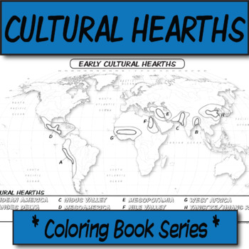
Early Cultural Hearths **Coloring Book Series**
**Geography Coloring Book Series**Guide your lecture notes with these printable coloring book pages of human's early cultural hearths. If you are discussing cultural diffusion, or the early river valley systems, this might be for your kids! These are particularly great for AP Human Geography, AP US History, AP European History, and AP World History - though any humanities course will benefit.The size is 8.5x14 (legal). The format is .PNG to allow for you to paste and stretch in Word. I've found
Grades:
Not Grade Specific
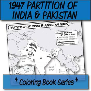
1947 Partition of India & Pakistan **Coloring Book Series**
**Geography Coloring Book Series****History Coloring Book Series**Guide your lecture notes with these printable coloring book pages of the 1947 Partition of India & Pakistan. These are great for printing multiples and cutting for student interactive notebooks as minis. These are particularly great for AP Human Geography, AP US History, AP European History, and AP World History - though any humanities course will benefit.The format is .PNG to allow for you to paste and stretch in Word. I've f
Grades:
Not Grade Specific
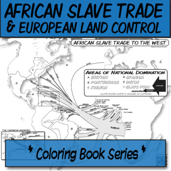
African Slavery Trade to the West **Coloring Book Series**
**Geography Coloring Book Series****History Coloring Book Series**Guide your lecture notes with these printable coloring book pages of the African slave trade to the West, with this flow-line map. These are great for printing multiples and cutting for foldables in student interactive notebooks as minis. These are particularly great for AP Human Geography, AP US History, AP European History, and AP World History - though any humanities course will benefit.Areas of European control are "color-by-l
Grades:
Not Grade Specific
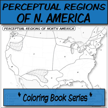
Perceptual (Vernacular) Regions of North America **Coloring Book Series**
**Geography Coloring Book Series**Guide your lecture notes with these printable coloring book pages of perceptual regions of North America. These are great for printing 4 per page and cutting for student interactive notebooks as they annotate. These are particularly great for AP Human Geography, AP US History, AP European History, and AP World History - though any humanities course will benefit.The format is .PNG to allow for you to paste and stretch in Word. I've found that .3'' margins (all si
Grades:
Not Grade Specific
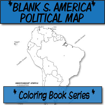
*Coloring Book Page* South America Political Map
**Geography Coloring Book Series**This blank political map is ready for students to color. Each independent country is labeled with a letter than corresponds to its name (which they can also color-code).These are particularly great for AP Human Geography, any geography course, or global studies course.The format is .PNG to allow for you to paste and stretch in Word. I've found that .3'' margins (all sides) is the farthest most standard printers will allow. Set these in your Word page setup befor
Grades:
Not Grade Specific
Also included in: *Coloring Book Pages* TEN Political Maps **Coloring Book Series**
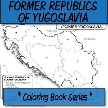
Republics of Former Yugoslavia **Coloring Book Series**
**Geography Coloring Book Series****History Coloring Book Series**Guide your lecture notes with these printable coloring book pages of the Republics of Former Yugoslavia. These are great for printing multiples and cutting for student interactive notebooks as minis. These are particularly great for AP Human Geography, AP US History, AP European History, and AP World History - though any humanities course will benefit.Making a lesson about Yugoslavia? Have kids make comparisons in terms of politic
Grades:
Not Grade Specific
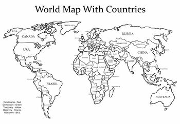
Governments Around the World Activity
Students will identify types of governments around the world to explore patterns. Extension: Have students evaluate why types of governments are different in certain areas and what impact it has for the rest of the world.
Grades:
6th - 9th
CCSS:
NGSS:
MS-ESS3-3
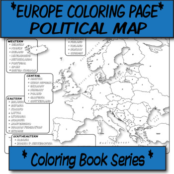
*Coloring Book Page* Europe Political Map
**Geography Coloring Book Series**This blank political map is ready for students to color. Each independent country is labeled with a letter than corresponds to its name (which they can also color-code).These are particularly great for AP Human Geography, any geography course, or global studies course.The format is .PNG to allow for you to paste and stretch in Word. I've found that .3'' margins (all sides) is the farthest most standard printers will allow. Set these in your Word page setup befor
Grades:
Not Grade Specific
Also included in: *Coloring Book Pages* TEN Political Maps **Coloring Book Series**
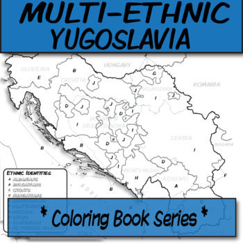
Multi-Ethnic Former Yugoslavia **Coloring Book Series**
**Geography Coloring Book Series****History Coloring Book Series**Guide your lecture notes with these printable coloring book pages of the multiethnic groups of the former Yugoslavia. These are great for printing multiples and cutting for foldables in student interactive notebooks as minis. These are particularly great for AP Human Geography, AP US History, AP European History, and AP World History - though any humanities course will benefit.Doing a lesson on Yugoslavia? Check out these other ma
Grades:
Not Grade Specific
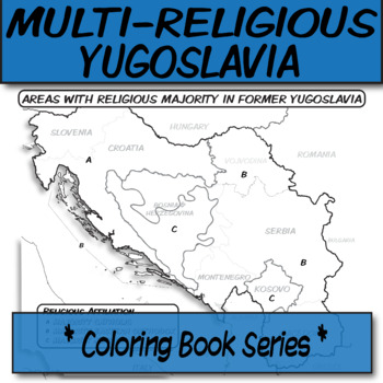
Multi-Religious Former Yugoslavia **Coloring Book Series**
**Geography Coloring Book Series****History Coloring Book Series**Guide your lecture notes with these printable coloring book pages of the multi-religious groups of the former Yugoslavia. These are great for printing multiples and cutting for foldables in student interactive notebooks as minis. These are particularly great for AP Human Geography, AP US History, AP European History, and AP World History - though any humanities course will benefit.Making a lesson about Yugoslavia? Have kids make c
Grades:
Not Grade Specific
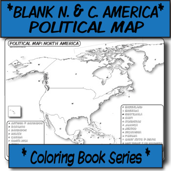
*Coloring Book Page* N. America & C. America Political Map
**Geography Coloring Book Series**This blank political map is ready for students to color. Each independent country is labeled with a letter than corresponds to its name (which they can also color-code).These are particularly great for AP Human Geography, any geography course, or global studies course.The format is .PNG to allow for you to paste and stretch in Word. I've found that .3'' margins (all sides) is the farthest most standard printers will allow. Set these in your Word page setup befor
Grades:
Not Grade Specific
Also included in: *Coloring Book Pages* TEN Political Maps **Coloring Book Series**
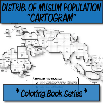
Distribution of Muslim Population Cartogram **Coloring Book Series**
**History Coloring Book Series****Geography Coloring Book Series**Who doesn't love a good cartogram?Guide your lecture notes with these printable coloring book pages of the contemporary distribution of the Muslim population. These are great for printing multiples and cutting for student interactive notebooks as minis. These are particularly great for AP Human Geography, any geography course, contemporary issue, cultural studies, or religion class.The format is .PNG to allow for you to paste and
Grades:
Not Grade Specific
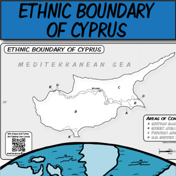
Ethnic Boundary of Cyprus **Coloring Book Series** Map Clipart
**Geography Coloring Book Series** **Map Clipart**Guide your lecture notes with these printable coloring book pages of Cyprus' Ethnic Boundary. If you are discussing buffer zones, ethnic boundaries, territorial disputes, the United Nation's role in boundary dispute resolution, or within your political geography unit, this might be for your kids! These are particularly great for AP Human Geography, AP World History, AP European History, and regular world history - though any humanities course w
Grades:
Not Grade Specific
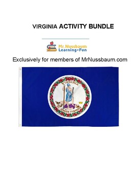
Virginia Activity Bundle
You can purchase our New Hampshire Activities Bundle for $5.50 on TPT, or, subscribe to MrNussbaum.com at https://mrnussbaum.com/sign-up for only $29 per year - which includes ALL state bundles, dozens of other bundles, and access to over 12,000 interactive and printable activities, skill-based online games, and more in all subjects for grades K-8. Coloring/Informational PagesPerfect for visuals, morning work, state report, or anything else related to the states. * State Symbols Coloring* State
Grades:
Not Grade Specific
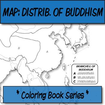
Branches of Buddhism Distribution Map **Coloring Book Series**
**History Coloring Book Series****Geography Coloring Book Series**Guide your lecture notes with these printable coloring book pages of the distribution of the branches of Buddhism. These are great for printing multiples and cutting for student interactive notebooks as minis.Please know how to unzip this file before purchase. The format is .PNG to allow for you to paste and stretch in Word. I've found that .3'' margins (all sides) is the farthest most standard printers will allow. Set these in yo
Grades:
Not Grade Specific
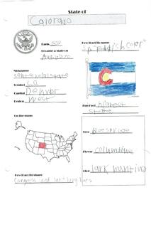
Build Your Own United States Atlas
Learning about a state in a children's atlas before you visit is a great way to prepare for the trip. Making one yourself is more fun, and more memorable! This project is not only an effective way to learn about the country and practice handwriting and research, but your student can aquire new skills such as photography. Plus, this makes a beautiful keepsake to remember family field trips and vacations. This Build Your Own United States Atlas gives your student a place to collect the fun facts h
Subjects:
Grades:
Not Grade Specific
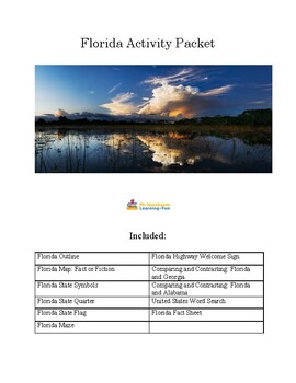
Florida Activity Bundle
This bundle contains ten awesome Florida-based coloring pages and activities including Florida:* State Symbols Coloring* State Quarter Coloring Outline* Outline Map with Surrounding States* State Flag Coloring Outline* State Maze* State Fact Sheet* Florida Map Quiz: Fact or Fiction* Compare and Contrast Florida and Georgia* Compare and Contrast Florida and Alabama* Welcome to Florida Highway Sign Coloring OutlinePerfect for visuals, morning work, state report, or anything else related to the sta
Grades:
Not Grade Specific
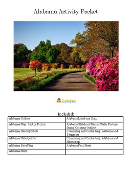
Alabama Activity Bundle
This bundle contains eleven awesome Alabama-based coloring pages and activities including Alabama:* State Symbols Coloring* State Quarter Coloring Outline* Outline Map with Surrounding States* State Flag Coloring Outline* State Maze* State Fact Sheet* Alabama Map Quiz: Fact or Fiction* Alabama Label-me Quiz* Alabama Statehood Postage Stamp Coloring* Compare and Contrast Alabama and Tennessee* Compare and Contrast Alabama and MississippiPerfect for visuals, morning work, state report, or anything
Grades:
Not Grade Specific
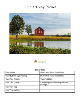
Ohio Activity Bundle
This bundle contains ten awesome Ohio-based coloring pages and activities including:* State Symbols Coloring* State Quarter Coloring Outline* Outline Map with Surrounding States* State Flag Coloring Outline* Welcome to Ohio Highway Sign Coloring* State Maze* State Fact Sheet* Midwestern States Label-me Map* Great Lakes States Label-me Map* Comparing and Contrasting: Michigan and OhioPerfect for visuals, morning work, state report, or anything else related to the states.
Grades:
Not Grade Specific
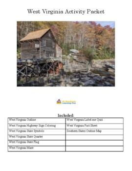
West Virginia Activity Bundle
This bundle contains nine awesome West Virginia-based coloring pages and activities including:* State Symbols Coloring* State Quarter Coloring Outline* Outline Map with Surrounding States* State Flag Coloring Outline* Welcome to West Virginia Highway Sign Coloring* State Maze* State Fact Sheet* West Virginia Label-me Quiz* Southern States Outline MapPerfect for visuals, morning work, state report, or anything else related to the states.
Grades:
Not Grade Specific
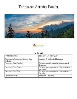
Tennessee Activity Bundle
This bundle contains twelve awesome Tennessee-based coloring pages and activities including Tennessee:* State Symbols Coloring* State Quarter Coloring Outline* Outline Map with Surrounding States* State Flag Coloring Outline* Welcome to Tennessee Highway Sign Coloring* State Maze* State Fact Sheet* Tennessee Label-me Quiz* Imagine: Great Smoky Mountain National Park* Compare and Contrast Alabama and Tennessee* Compare and Contrast Tennessee and Kentucky* Compare and Contrast Tennessee and Georgi
Grades:
Not Grade Specific
Showing 1-24 of 28 results

