604 results
Geography pdfs on sale
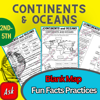
Continents And Oceans | Maps & Globes 7 Continets & Oceans | Facts Activities
Learning about continents and oceans on a map is a great way to engage students and help them remember all seven continents and major oceans in geography. This resource provides tons of practice on maps to help your kids identify the continents and oceans, as well as learn fun new information about each continent and ocean.The facts about continents and oceans are designed in different interactive formats to help your kids engage and have fun while completing them.As there are many questions reg
Subjects:
Grades:
2nd - 5th
Types:
Mapping Skills with Google Earth™ Gr. 6-8
Help your middle school students move on to a more complex understanding of map reading. Our resource allows students to further develop their ability to read and understand maps. About this Resource: Practice what you've learned about coordinates by finding the matching countries on Google Earth™. Test your comprehension of a precipitation map by answering questions related to a map of North America. Explore the past with Google Earth™, and see how the population of certain places have changed
Grades:
6th - 8th
Types:
Also included in: Mapping Skills with Google Earth BIG BOOK - BUNDLE
Colonial America Activity for 13 Colonies; 13 Colonies Activities
13 Colonies {New England, Middle, Southern} Scavenger Hunt Activity: A content-rich and fun way to engage students and introduce your unit! ♥You have to see the preview! OVER 600 sold and LOVED!♥This is part of my Colonies BUNDLE {3 Activities!} Let intermediate-middle grade students get up and MOVE while you introduce them to Colonial America!! In this activity, they will complete a scavenger hunt to find important information about the 13 original colonies, the New England, Middle, and Souther
Grades:
4th - 7th
Types:
Also included in: 13 Colonies Activity BUNDLE for Colonial America
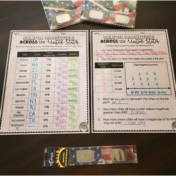
SOLAR ECLIPSE (MATH, SCIENCE, SS)
Are you looking for a fun activity way to teach about solar eclipses?! This will be perfect for you! This activity integrates Social Studies, Science, and MATH!August 2017 ECLIPSE MAGNITUDES: Across the United States- Students look at a map and determine the states of each city listed on the table.- Next, they convert each percent (magnitude) to a fraction.- Then they simplify the fractions to lowest terms.- Finally the students create a line plot using the percent data and answer questions!I al
Subjects:
Grades:
4th - 6th
Types:
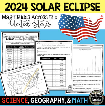
2024 SOLAR ECLIPSE MAGNITUDES ACROSS UNITED STATES - STATE CAPITALS
Are you looking for a fun activity on Solar Eclipse Day that is not busy work? This Solar Eclipse Activity integrates Science, Geography and MATH! Students handle REAL and RAW DATA about the magnitudes (for the April 8, 2024) for each state capital across the United States all while ... converting percents to fractionssimplifying fractionsordering fractionsmaking line plotsanalyzing datausing mapsreviewing state abbreviationsThis is geared towards 4th grade Math standards, but would make great p
Subjects:
Grades:
4th - 8th
Types:
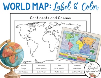
World Map: Continents and Oceans (Color and Label Blank Map)
Here is a simple blank map for students to label and color the 7 continents and 5 oceans of the world! *Idea: Have students use various shades of blues/purples for the oceans!There are 3 versions included. Please see the preview photos. Thank you!Laurin@TheRestfulHomeschool
Grades:
PreK - 6th
Middle School World Continents Bundle Gr. 5-8
This Middle School World Continents Bundle for grades 5-8 is your ENTIRE YEAR'S WORLD CONTINENTS CURRICULUM in one bundle. Filled with EXTENSIVE reading passages, ENGAGING activities, and FULL COLOR maps, and COMPREHENSION questions that cover your State Standards, and written to Bloom's Taxonomy. The activities in this bundle can be used for whole-group, small group, or individual work. NO PREP necessary, just print!This BUNDLE includes 420 pages and will provide you with an ENTIRE YEAR of Wor
Grades:
5th - 8th
Types:
Country Research Project Central America and The Caribbean
Our engaging Country Research Project Central America and the Caribbean is perfect for a country study in the classroom. This resource includes comprehensive graphic organizers to help students structure their findings effectively. Perfect for fostering critical thinking and in-depth exploration of these vibrant regions.This project greatly facilitates differentiated instruction in the classroom by offering flexibility in assignment options. Teachers can choose to have students complete all four
Subjects:
Grades:
3rd - 9th
Also included in: Countries of the World Research Projects BUNDLE
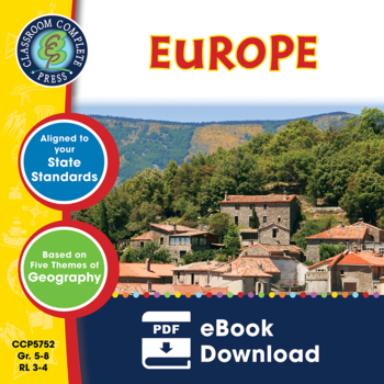
Europe Gr. 5-8
Journey to the ancient centers of culture and trade with a trip to Europe. About this Resource: Understand the variety of ecosystems that inhabit the continent with a climate map. Gain a sense of direction by identifying the European cities that are found in the western and eastern hemispheres. Do some research into the famed Thames river and find out how long it is, which countries it passes through, and into which large body of water it flows into. Learn about the accident at Chernobyl and wha
Grades:
5th - 8th
Types:
Also included in: Middle School World Continents Bundle Gr. 5-8
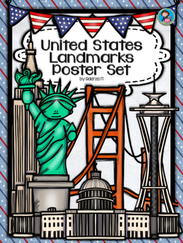
United States Landmarks Facts & Poster Set
If you are looking to improve your students skills in Geography here is the resource you need. I had so much fun researching these Landmarks and sparkle my skills also with the new facts on the most famous landmarks of the United States. Lots of information, but cool things you can use in class. Here is a set of Posters with their Fact Sheet. You can print it on card stock with double sided with the facts or separated to create your own activities for your students. The will have fun with ge
Grades:
PreK - 12th, Higher Education, Adult Education, Staff
Mapping Skills with Google Earth: How to Read a Map Gr. PK-2
This is the chapter slice "How to Read a Map" from the full lesson plan "Mapping Skills with Google Earth"About the FULL RESOURCE:Teach your students the basics of map reading with our engaging resource designed for students in grades prekindergarten to two. Start with the elements found on a map, such as symbols, legends and the compass rose. Then, have your students apply what they’ve learned by mapping their classroom and route to school. Move on to the Great Lakes of North America and the se
Subjects:
Grades:
PreK - 2nd
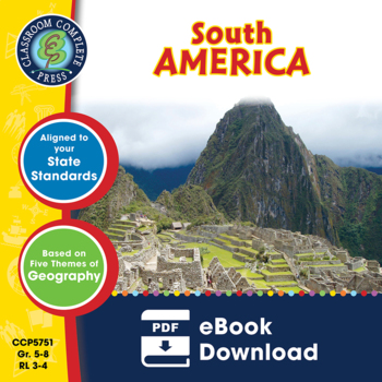
South America Gr. 5-8
Become aware of the endangered environment and wildlife that inhabit South America. About this Resource: Get familiar with the Caribbean Region, one of the world's most sought-after tourist destinations. Describe the relative location of Chile using the features around it. Discover how the Andes Mountains and the Pampas are different. Do some research in the Amazon River, the most famous river in the world. Use the Wildlife Organizer to find the different kinds of wildlife that are unique to the
Grades:
5th - 8th
Types:
Also included in: Middle School World Continents Bundle Gr. 5-8
Mapping Skills with Google Earth: Latitude, Longitude and Time Zones Gr. 3-5
This is the chapter slice "Latitude, Longitude and Time Zones" from the full lesson plan "Mapping Skills with Google Earth"About the FULL RESOURCE:Students will learn in-depth how to read and create maps with our engaging resource designed for students in grades three to five. Students will expand their knowledge of the elements on a map by exploring the lines of latitude, longitude and time zones. Then, students will learn about geographical and cultural features by exploring topographic and ch
Subjects:
Grades:
3rd - 5th
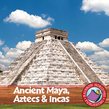
Ancient Maya, Aztecs & Incas Gr. 4-6
This thematic, integrated unit about the Mayas, Aztecs, and Incas will provide both the teacher and the students with a broad understanding of the topic.
About this Resource:
The unit starts off with core teaching lessons to build a base for knowledge, followed by student worksheets that compliment the core lessons. Optional lessons are included to add a degree of flexibility and possible enrichment activities to the lesson. The unit finishes off with a major project that allows students to de
Subjects:
Grades:
4th - 6th
Types:
Country Research Project North America
Our engaging Country Research Project North America is perfect for a country study in the classroom. This resource includes comprehensive graphic organizers to help students structure their findings effectively. Perfect for fostering critical thinking and in-depth exploration of this vibrant region.This project greatly facilitates differentiated instruction in the classroom by offering flexibility in assignment options. Teachers can choose to have students complete all four graphic organizers or
Subjects:
Grades:
3rd - 9th
Also included in: Countries of the World Research Projects BUNDLE
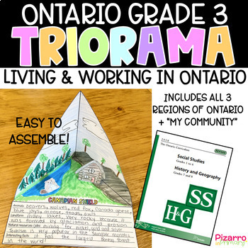
Living and Working in Ontario Project | Grade 3 Ontario Social Studies Project
Are you looking for a fun and engaging culminating task for the Social Studies unit of Living and Working in Ontario? This "triorama" will bring out the creativity in all of your students. Choose from four templates and print a copy for each of your students. Fold, cut, glue and voila - you have a triangle diorama - a TRIorama! Students love making "pop-up" props to add to each landform region. What's included:4 different triorama templates of each land form region (Hudson Bay Lowlands, Candian
Grades:
2nd - 4th
Types:
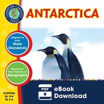
Antarctica Gr. 5-8
Go on an exhibition to the South Pole as you explore the harsh climate of Antarctica. About this Resource: Study the ice, atmosphere, magnetic field, and greenhouse effect over this vast continent. Draw the locations of research stations inhabiting Antarctica. Understand how Antarctica's temperatures can result in surface ice two miles thick. Become a scientist and research the atmosphere above Antarctica. Find ways in which scientists move around Antarctica without roads or highways. Compare An
Grades:
5th - 8th
Types:
Also included in: Middle School World Continents Bundle Gr. 5-8
Let's Go--Travelling across the 50 States Social Studies Unit
This newly updated Social Studies unit will equip your students with a variety of research, critical thinking, creative thinking, and communication skills! From in-class projects to home-based learning, this social studies project-based learning experience will be a hit with students, parents, and administrators! Instructions, pictures, and printables are plentiful. Students may work collaboratively or independently, and there is much flexibility for teachers. What a great unit to promote pa
Grades:
3rd - 8th
Types:
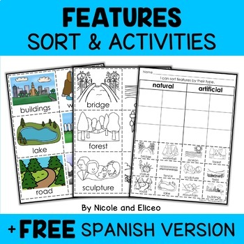
Physical Features Sort Activities + FREE Spanish
Boost engagement with this fun, interactive resource about physical and man-made features. It includes vocabulary cards, individual and group sorting activities, graphic organizers, a coloring sheet, a word building activity, a drawing sheet and more! It works great for boosting academic vocabulary while learning and reviewing the content. This resource was created by Nikki and Nacho - previously known as Nicole and Eliceo.TEACHER-FRlENDLY FEATURESThis resource has been teacher-tested and approv
Subjects:
Grades:
PreK - 1st
Types:
Also included in: Social Studies Sort Activities Bundle + FREE Spanish
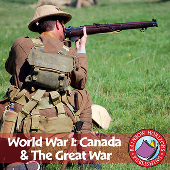
World War I: Canada & The Great War Gr. 7-9
Conflict is the central theme of this accurate account of the First World War.
About this Resource:
The unit emphasizes the integral role Canada played in the war, with topics ranging from life in the trenches, the Battle of the Somme, to the Battle of Vimy Ridge. The unit is divided into three parts combining optional lessons and a pictorial history suitable for colouring with the main, information-based body of the unit. Optional lessons include a review, exam, and a newspaper story on the
Subjects:
Grades:
7th - 9th
Types:
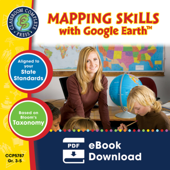
Mapping Skills with Google Earth™ Gr. 3-5
Extend the basic knowledge of map reading to give your elementary students a thorough understanding of maps. Our resource allows students to learn in-depth how to read and create maps.About this Resource: Explore all the elements on a map, such as scale, index, grid system, and surrounding area. Take your understanding of a grid system one step further by examining lines of latitude and longitude. Compare the different times zones found in your country. Learn about topographic maps before explo
Grades:
3rd - 5th
Types:
Also included in: Mapping Skills with Google Earth BIG BOOK - BUNDLE
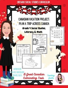
Canada Roadtrip. Social Studies. Grade 4. Financial Literacy and Literacy.
It's time for a great Canadian roadtrip! Welcome to an EPIC and multidisciplinary unit task!It directly supports Ontario's grade 4 social studies, math (financial literacy) and literacy expectations. And it's totally PRINT AND GO!What's included?-Workbook-Two projects with rubrics (Travel brochure and travel blog). BOTH are scaffolded with prompts. PLUS Media (design a shirt based on the location)The tasks:-Choose the destination-Planning for the trip (locations, hotels, packing, playlist)-Shopp
Subjects:
Grades:
4th - 6th
Types:
Also included in: Grade 4. Writing Bundle One.
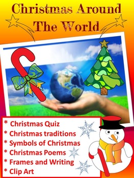
Christmas Around The World - 20 Countries - Quiz - Christmas Poems
Christmas Around The World - Christmas Quiz - Christmas Poems - Christmas traditions ( United States, Canada, Alaska, Brazil, Argentina, Venezuela, China, Russia, Japan, Italy, Spain, France, Greece, Bulgaria, Finland, Germany, United Kingdom, Ukraine, Australia, Christmas in Africa)
This is a set of 90 different pages- PDF
- Christmas Quiz
- Symbols of Christmas
- Christmas Poems
- Frames
- Writing paper
- Clip Art
- Maps
- Christmas traditions
United States
Canada
Alaska
Brazil
Argentina
Vene
Grades:
PreK - 5th
Types:
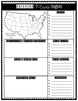
7 Natural Regions of the United States (Research Activity Posters)
These 7 Natural Regions Posters are perfect for engaging students in an interactive research activity!
Students will enjoy shading their assigned region on the U.S. map and writing research notes in the boxes.
Have students use this to write a research paper and keep facts organized.
These 7 natural regions are aligned with the USA Studies curriculum.
Natural Regions included:
1. Pacific Coastal Plains
2. Western Plateau
3. Rocky Mountains
4. Interior Plains
5. Atlantic Coastal Plains
6. A
Grades:
3rd - 5th
Types:
Showing 1-24 of 604 results

