1,356 results
Free not grade specific geography resources
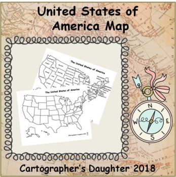
The United States of America Map
Blank and labeled map of The United States
Subjects:
Grades:
Not Grade Specific
Types:
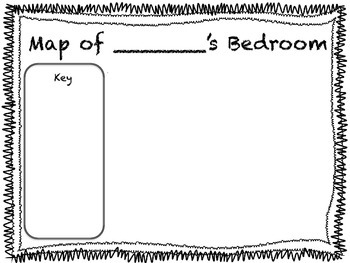
Map of My Bedroom Printable Worksheet
A great addition to any primary unit on maps! Have your students create their own bedroom maps and keys.
Teacher Tip: Read "My Map Book" by Sara Fanelli or "Me on the Map" by Joan Sweeney before students create their own maps. Can also be used as a Social Studies center.
Grades:
Not Grade Specific
Types:
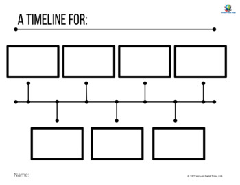
Blank Timeline Template
This is a blank generic timeline that students can fill in.
Grades:
Not Grade Specific
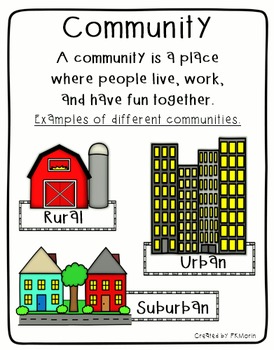
Rural, Urban, Suburban Communities Poster
Social Studies poster includes the definition of Community, plus image samples of 3 types of communities (Rural, Urban and Suburban). Also includes mini-posters with Rural, Urban and Suburban definitions.
By Patricia Morin
Subjects:
Grades:
Not Grade Specific
Types:
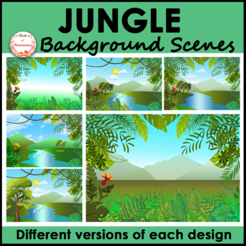
Jungle Forest Background Scenes Clipart | FREE
Are you looking for bright, unique, versatile, and high quality rainforest landscape background scenes? This set includes a variety of nature backgrounds for your PowerPoint, Boom Cards™ or Google Slides™ resources. It will save you tons of effort and time and make your resources stand out!What is included?✦A total of 6 jpeg images 1 includes tropical plants as a frame with a gradient background 1 includes tropical plants as a frame with a mountain view background 3 include river with trees (2 h
Grades:
Not Grade Specific
Also included in: Indoor and Landscape Outdoor Background Scenes Mega Bundle
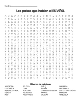
Spanish Speaking Countries Word Search
This is an original word search that includes 20 Spanish-speaking countries/regions and an answer key. Country names are in Spanish. Titles/etc. are available in Spanish or English.
Subjects:
Grades:
Not Grade Specific
Types:
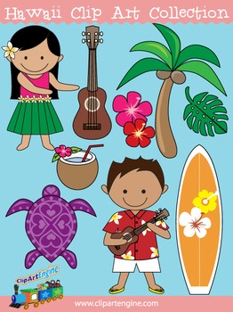
Hawaii Clip Art Collection
Our Hawaii Clip Art Collection has cute designs with a Hawaiian theme. There are 20 graphics (10 in color, 10 in black and white) in this collection. It includes a generous personal and commercial use license with no restrictions on how many times you can use the designs.The original graphics included in this collection of Hawaiian clip art are a ukulele, turtle, Hawaiian surfboard, red hibiscus flower, pink hibiscus flower, palm tree, monstera, hula girl in a hula skirt, Hawaiian boy in a Hawai
Grades:
Not Grade Specific
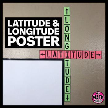
FREE Latitude & Longitude Poster - Classroom Decor
These simple latitude and longitude posters are a cute addition to ANY classroom! Wrap them around the corner of your whiteboard or bulletin board and they hardly take up any space at all.These posters will help your students remember the difference between latitude and longitude. And they are free!This is a black & white DIY poster. Print the pieces you want to use, cut them out, and assemble your poster. If you want your poster to look like mine, you'll need to print it on Astrobrights
Subjects:
Grades:
Not Grade Specific
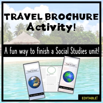
Social Studies Travel Brochure Activity- Student Centered, No Prep, and FREE!
Complete your social studies unit with this fun travel brochure activity! This resource allows your students to demonstrate their knowledge by connecting the geography, culture, and history of the places that they have learned about. From the settlement of Jamestown, to Ancient Greece, to modern-day Chicago, this travel brochure activity is easily adaptable to a variety of Social Studies topics. It is available as a PDF (offers the best quality) or a PowerPoint- which is editable. The files
Grades:
Not Grade Specific
Types:
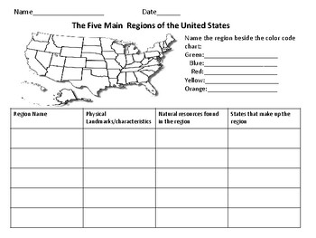
The Five Regions of The United States
This page includes a map of the U.S. in which students color-code the different regions of the U.S. There is also a chart in which students can take notes about the landforms/ characteristics of each region as well as other important information.
Grades:
Not Grade Specific
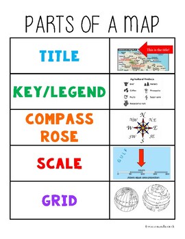
Parts of a Map Anchor Chart
Hang in your classroom or glue into student notebooks for a quick visual reminder of the parts of a map.
Subjects:
Grades:
Not Grade Specific
9-piece printable world map for the wall
If you have ever wanted to print a world map for your wall, or a big map for students to color, this map prints on 9 sheets of paper (3x3) to give a final map of 21x30 inches. It has dashed lines to show you where to cut and solid edges around the border. The files is 10 pages total, and the last page is the original map that I expanded. The world map is royalty-free and downloaded from Niche Gallery. I love the huge maps from Owl and Mouse maps (check them out!) but my printer does not print to
Grades:
Not Grade Specific
Types:
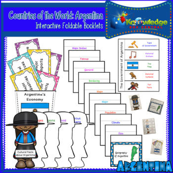
Countries of the World: Argentina Interactive Foldable Booklets - FREE
Explore Argentina as you create these interactive foldables for your Interactive Notebook or Lapbook.These 4 foldables cover:*The geography of the Argentina*Economic facts about Argentina*The government of Argentina*Cultural facts about ArgentinaThis ebook is a downloadable PDF file. Just follow the instructions, cut, fold, glue, and create!Don’t miss our other Countries of the World Interactive Foldable booklets!Countries of the World: Argentina Interactive Foldable Booklets – EBOOKCountries of
Subjects:
Grades:
Not Grade Specific
Also included in: Countries of the World Interactive Foldable Booklets BUNDLE - EBOOK
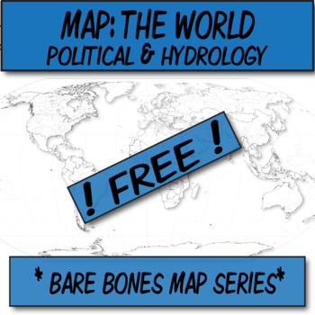
**Free** World Political & Hydrography Blank Map **Barebones Map Series**
**Geography Bare Bones Map Series**This blank WORLD MAP is ready for students to color, label, or use at the teacher's whim. This item was created using open-source maps, Adobe Illustrator, and Autodesk Sketchbook by the Human Imprint. This bare bones series is inspired by the teacher's never-ending quest to find the perfect blank map.Files are in .png format so that you can bring in to Word and stretch to your needs. I've found that .3'' margins (all sides) within Word's page setup, is the furt
Grades:
Not Grade Specific
Types:
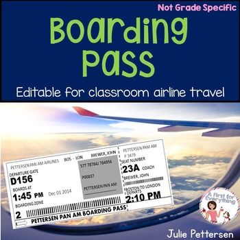
Boarding Pass
Now Boarding! Use this completely editable boarding pass for your students as they "board" your classroom airline to take a virtual trip around the world to learn and explore how various countries celebrate the holidays! This resource includes the editable boarding pass only. It was designed to go along with my Holidays Around the World resource in my store. Your student's can design their own suitcase, decorate their own passport, and take a tour of each country via video links in my Holidays
Subjects:
Grades:
Not Grade Specific
Types:
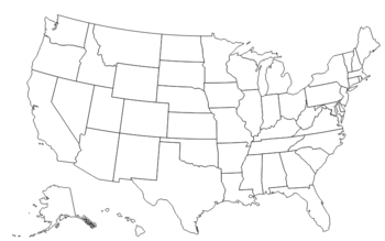
Blank Map of the United States
Blank map of the United States- useful for state memorization, migration and pattern mapping, facilitating class discussions, etc. Reinforce US History lessons by reteaching US Geography!
Grades:
Not Grade Specific
Types:
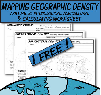
**Free** Mapping & Calculating Density-Blank Map **Coloring Book Series**
**Geography Coloring Book Series**This coloring book map-page covers three prominent types of density discussed in AP Human Geography. I would use this when discussing the three types of distribution (arithmetic, physiologic, and agricultural).Step 1) Lecture on how to calculate these density types.Step 2) Students use QR codes to find current information needed to calculate densities.Step 3) Discuss comparisons/contrasts between the countries and help explain why.Step 4) These three blank densi
Grades:
Not Grade Specific
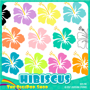
FREE hibiscus clipart// .png files - black and white included
12 Hawaiian clip art flowers in tropical colors. Package includes black & white/toner-friendly version for easy printing.
Use for Hawaii/geography lessons, class parties or Luau decorations, to decorate worksheets, or just for fun! Clip art can also be used for TpT products with credit.
You might also like Hibiscus digital paper, the matching background pattern.
YOU WILL RECEIVE:
12 .png files, transparent backgrounds
6" diameter, may be reduced to any smaller size
300 dpi for excellen
Subjects:
Grades:
Not Grade Specific
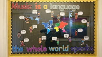
'Music Is A Language The Whole World Speaks' display
Thnaks to Braun Ream, a fellow member of the Music Teachers Facebook group for this idea, and for creating the speech bubbles in different languages.A ready-to-make display perfect for music classroom everywhere. Included are the letters for the title, the world map, speech bubbles with text ('music' in different languages with the name of the language underneath) and clipart children wearing clothes related to their country.Children and speech bubbles included in the following language:FrenchHi
Subjects:
Grades:
Not Grade Specific
Types:
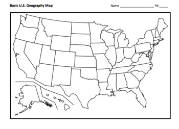
FREE Basic U.S. Map Assignment
This a basic blank map of the U.S., including instructions for students to identify all fifty states, mountain ranges, bodies of water, etc. PDF and Word doc are included.©Founding Fathers USA. All rights reserved by Founding Fathers USA. This product is to be used by the original downloader only. Additional teachers must purchase their own license or TpT's multiple license option.
Grades:
Not Grade Specific
Types:
Also included in: 1st Semester: American Colonies to the War of 1812 Bundle
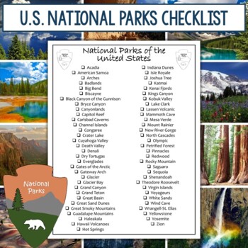
FREE List of National Parks and Checklists
This product includes 5 versions of national park checklists that can be used in a variety of ways. You can give it to students as a list of parks they can choose from for a research project (I have a great National Parks Graphic Organizer listed below). Or you can use it yourself as you visit each of the parks. Or you can use it in so many other ways. There are 5 versions:National Parks ChecklistNational Parks by StateNational Parks by State (includes parks in multiple states such as Yellowston
Grades:
Not Grade Specific
Types:
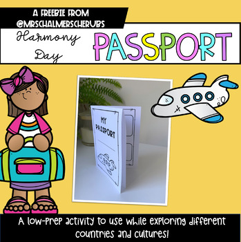
Harmony Day Passport Freebie!
Use this cute little passport as you visit different countries during Harmony Week! It's completely low prep - just print one page per child and fold. What's included:- How-to instructions.- Passport option with 4 stamps.- Passport option with 8 stamps.
Subjects:
Grades:
Not Grade Specific
Types:
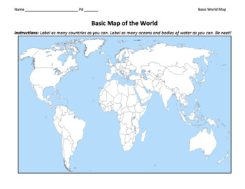
FREE Basic World Map / Identify the Countries of the World and Other Features
This a basic blank map of the world, including instructions for students to label as many countries as they can, continents, etc.©Founding Fathers USA. All rights reserved by Founding Fathers USA. This product is to be used by the original downloader only. Additional teachers must purchase their own license or TpT's multiple license option.
Grades:
Not Grade Specific
Types:
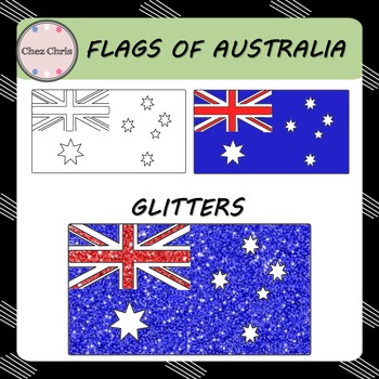
Clip Art - Flags of Australia FREEBIE
In this set, you will find 3 flags of Australia:
- a blank flag
- a colored flag
- glitter Australian flag
High quality: 300 dpi / PNG format
Related Item:
Maps of Australia
◈ ◈ ◈ ◈ ◈ ◈ ◈ ◈ ◈ ◈ ◈ ◈ ◈ ◈ ◈ ◈ ◈ ◈ ◈ ◈ ◈ ◈ ◈ ◈ ◈ ◈ ◈ ◈ ◈ ◈ ◈ ◈ ◈
USAGE ©️
This product is for your personal use and your commercial purposes.
It is to be used by the original downloader only. Copying or distributing for more than one teacher is prohibited. Please read TOU.
FOLLOW ME
Be the first to know about my new p
Grades:
Not Grade Specific
Showing 1-24 of 1,356 results


