363 results
Geography Common Core RI.5.4 resources
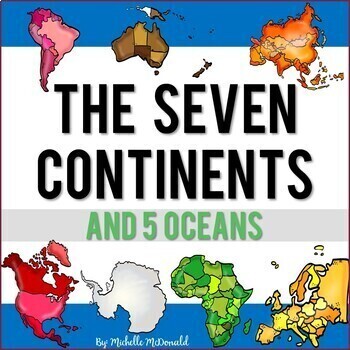
Seven Continents & Five Oceans Unit: Slide Shows, Reading, Activities, & More!
Need an easy to use comprehensive resource for the major landmasses and oceans of the world? This social studies unit is packed full of facts, features, differentiated reading passages and comprehension questions, a research 3D globe craft, a collaborative poster for your hallway display, and much more to help you bring the seven continents and five oceans to life! Find everything you need all in one place!Click the Preview to View MoreThis unit includes:Continents Facts & Features Slide Sho
Grades:
1st - 5th
Causes of the American Revolution Differentiated Nonfiction Reading Passages
In this resource, there is a nonfiction reading passage based on the Causes of the American Revolution. It is differentiated for your high, mid, and lower level students as you study the colonies, Great Britain, taxes, and more events leading to the Revolutionary War. Integrate geography content with your reading texts and meet each reader's needs with this set. Guided Reading levels are M-P-U.
Looking to complete this lesson? The video link below perfectly compliments this resource! Causes of
Subjects:
Grades:
3rd - 7th
Types:
Continents, Oceans, & Map Skills UNIT- Reading Passages, Lapbook, PowerPt, Test!
Teach the seven continents and five oceans with this 3-4 week, no-prep, full unit on the Continents & Oceans with a side of Map Skills! With this unit, you will receive complete lesson plans, a student workbook with informational text and reading comprehension tasks, an accompanying interactive notebook (activity lapbook), a PowerPoint for teacher-guided instruction, and an end-of-unit assessment. The student workbook and PowerPoint presentation are Google 1:1 compatible. Reading and liter
Grades:
3rd - 5th
Five Themes of Geography Nonfiction Reading Texts BUNDLE - SOCIAL STUDIES
There are five differentiated nonfiction reading passages based on each of the Five Themes of Geography included in this social studies resource bundle:
US Regions
Place
Location
Movement
Human-Environment Interaction
The text discusses an overview of each of the five themes of geography with relevant examples. It is differentiated for your high, mid, and lower level students. 4 types of rigorous questions are included, along with an answer key. Integrate geography content with your reading t
Subjects:
Grades:
3rd - 7th
Types:
Intro to U.S. Geography Unit for 5th-7th Grade (2 weeks) PDF, PPT, Google Apps!
The Intro to U.S. Geography Lesson Plan Unit for 5th-7th grade comes with EVERYTHING you need to teach your students about important topics such as the physical characteristics and climates of the U.S., population and settlement patterns of the US, the location, capital, and abbreviation of each one of the 50 states, in addition to building your students map reading and comprehension skills, and so much MORE! This U.S. Geography Lesson Plan Unit has you COVERED!! The amazing resources included w
Grades:
5th - 7th
Types:
Also included in: Bundle for Andrea
Types of Maps UNIT: Reading Passages, Activities, PowerPoint, & Test!
No-prep, 2-3 week unit on six different types of maps, and more! The map types included are: Political, Physical, Road, Climate, Resource, and Thematic. There is also a 3-page lesson on map reading skills and components, like a Map Title, Map Key, Scale, and Compass Rose. This unit includes complete lesson plans, a student workbook with informational text and reading comprehension tasks, an accompanying interactive notebook (activity lapbook), a PowerPoint for teacher-guided instruction, and
Subjects:
Grades:
3rd - 6th
Also included in: 3rd Grade Social Studies: Full-Year Curriculum BUNDLE. No-Prep!
Continents, Oceans, & Map Skills + Types of Maps= Two BUNDLED Units!
This bundle features two print-and-go teacher favorites used in tandem- a Continents & Oceans, Map Skills unit and a Types of Maps unit! These units will enhance your students' map-reading skills, map fluency, and knowledge about the Continents & Oceans. The student workbooks and PowerPoints are also Google 1:1 compatible. Benefits:- No prep-work or planning is needed! - Student workbooks include informational reading passages with built-in reading skills tasks (like 'Main Idea', 'Sum
Grades:
3rd - 5th
Types:
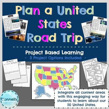
Project Based Learning: Plan a United States Road Trip
If you live in the United States, or perhaps even if you don't, chances are you have considered planning a US Road Trip. This PBL gives students a chance to plan their own road trip, depending entirely on what they are interested in! Plan a United States Road Trip is a project that teaches students about the 50 states and capitals without memorization or filling out maps, rather with pure engagement and student-driven creativity! The objective of this project is for students to plan a United St
US States and Territories Virtual Field Trip Bundle (Google Earth Exploration)
Take your students on a virtual field trip to all 50 states and U.S. territories! States are organized by the 5 regions, to provide you with organized and complete virtual tours. Using a combination of Google Earth™ 360-degree views, video, informational text, and visuals, your students will travel to every state and the inhabited U.S. territories to learn about key facts and features from multiple perspectives. Please click the preview button to view more.This virtual field trip bundle covers:A
Grades:
4th - 6th
Types:
CCSS:
Westward Expansion Full Unit: Reading Passages, Activities, PowerPoint & Test!
Teaching Westward Expansion can be a breeze (and fun!) with this 4-5 week, NO-PREP full unit! With it, you will get complete lesson plans, a student workbook with informational text and reading comprehension tasks, an accompanying interactive notebook (activity lapbook), a PowerPoint for teacher-guided instruction, and an end-of-unit assessment. The student workbook and PowerPoint presentation are Google 1:1 compatible. Reading and literacy skill building activities are built-in to the student
Grades:
4th - 5th
Types:
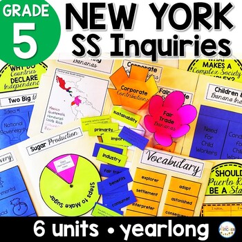
NYS Grade 5 Social Studies Inquiries Yearlong | Bananas | Declaration | Sugar
Deliver meaningful instruction through lapbooks!Lead your students with this yearlong resource that will cover all of the New York State 5th Grade Social Studies Standards.Organze the content and engage your learners with lapbooks that break down each supporting question in the NYS inquiries. Students will then use their lapbooks to answer 2-point questions which build toward the Compelling Question and Summative Task.This BUNDLE contains all 6 Inquiry Resources.Buy this BUNDLE and save!Download
Subjects:
Grades:
5th
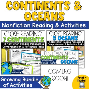
Continents and Oceans Activities Reading Passages with Blank Maps
Getting ready to study the 7 continents and 5 oceans? This pack is just what you need to enrich students' reading experiences and provide meaningful reading tasks that align with informational reading passages about the world's continents and oceans.NOTE: This is a growing bundle. It currently includes two sets: Continent Close Reading and Oceans Close Reading. Another set with a PPT presentation, games, and more will be added soon.Included are 14 two-page passages to help your students understa
Subjects:
Grades:
3rd - 5th
Types:
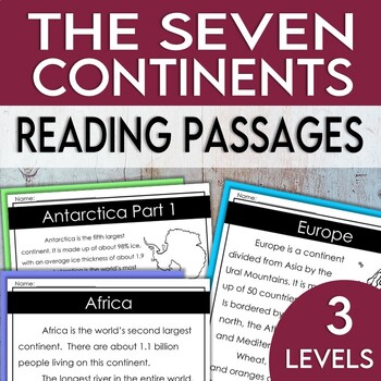
Seven Continents Reading Passages & Comprehension Questions (Print & Digital)
Perfect for small groups or to practice close reading skills! This is a great solution if you wish to have all of your students learn about the seven continents while reading at their own level. This reading set includes 3 differentiated passages for each of the seven continents! Comprehension questions are included for each continent in each of the leveled readings. Answer keys are included for every reading passage.3 Levels of Reading Passages & Question Set Included:AsiaAfricaNorth Americ
Subjects:
Grades:
1st - 6th
13 American Colonies Full Unit- Reading Passages, Flip Book, PowerPoint & Test!
Have your students learn about the Thirteen American Colonies with informational text with reading comprehension tasks, research activities for deeper learning, and more! This resource provides you with a 3-4 week, NO-PREP unit.You will receive complete lesson plans, a student workbook with informational text, an accompanying unit flip book, two research activities, a PowerPoint for teacher-guided instruction, and an end-of-unit assessment. The student workbook, research pages, and PowerPoint pr
Grades:
4th - 5th
Types:
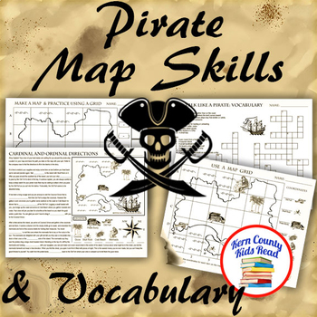
Pirate Map Skills: Grid Coordinates, Cardinal & Ordinal Directions, Symbols
Teach and strengthen coordinate grid math, geography mapping skills like map symbols and cardinal and ordinal directions with a compass rose, and new vocabulary with these pirate themed printable worksheets. These are fun mini-lesson activities for Talk Like A Pirate Day on September 19th or if you have a pirates themed unit. Cardinal directions and coordinate grid mapping are important introductory skills to mastering latitude and longitude map skills and being able to use an atlas. Coordinate
Subjects:
Grades:
3rd - 6th
Also included in: Pirates Thematic Unit Study Bundle: Talk Like A Pirate Pack!
Regions of Missouri | Missouri Social Studies
Use these social studies worksheets to teach students about the regions of Missouri. The passage in this easy-to-use resource combines social studies and reading informational text in one convenient lesson. It’s easy for teachers and fun for kids! In this lesson, students explain identify the five geographical regions in Missouri, describe their key characteristics, and compare/contrast the regions.PLEASE NOTE:The five geographical regions in this lesson include the following: Dissected Till Pla
Grades:
3rd - 5th
Types:
Also included in: Missouri Social Studies BUNDLE
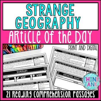
Strange Geography Article of the Day-Bellringers-Reading Comprehension Passages
Infuse reading comprehension skills, informational text, and geography with a FULL MONTH of Strange Geography Tidbits and Bellringers. Each informational, non-fiction reading comprehension passage has students reading the passage several times, practicing close reading skills, and searching for text-evidence while making logical inferences. This is a great cross-curricular reading comprehension and reading response activity full of high-interest topics that your students will LOVE that fill in t
Subjects:
Grades:
6th - 9th
Types:
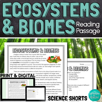
Ecosystems and Biomes Reading Comprehension Passage PRINT and DIGITAL
This easy to read, one page passage defines ecosystems and biomes and explains the difference between the two terms. It describes 7 of Earth's major biomes: arctic tundra coniferous forestsdeciduous forestsrainforestsgrasslandsdesertsaquatic biomesThis download includes a one page passage with color and black line versions of the illustration, 10 multiple choice reading comprehension questions, an answer key, and 2 self-scoring digital versions - EASEL and Google Forms. Color and black line illu
Subjects:
Grades:
4th - 7th
Types:
NGSS:
MS-LS3-1
Also included in: Ashton's Custom Science Shorts Reading Comprehension Bundle
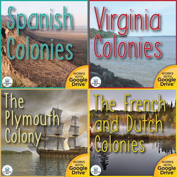
Building the First Colonies United States History Unit Bundle
Building the First Colonies Interactive Notebook Bundle, which works for both print and Google Drive™, is a bundle of four units that cover the first colonist settlements in North America. Geared as a unit in the 5th grade study of United States History.This bundled download contains both a printable format as well as a Google Drive™ compatible format for the following sections:•Spanish Colonies Interactive Notebook: Investigates the formation and ways of life in the early Spanish colonies in N
Grades:
4th - 6th
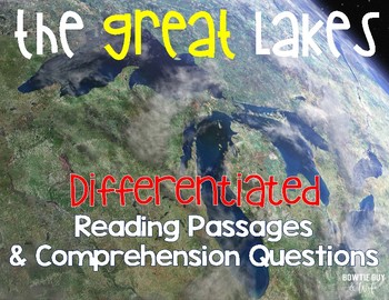
Great Lakes {Differentiated Close Reading Passages & Questions}
In this geography leveled text, there is a nonfiction reading passage based on the Great Lakes. It is differentiated for your high, mid, and lower level students. 3 types of questions are included, along with an answer key. Integrate geography content with your reading texts and meet each reader's needs with this set. Guided Reading Levels: N-R-U$Why should I purchase this passage set?$• Textbooks aren't what they used to be...if we have them at all. Often textbooks are written well above grade
Subjects:
Grades:
3rd - 6th
Types:
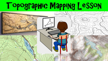
Topographic Mapping Lesson with Worksheet, Power Point, and Map Reading Activity
This lesson goes over how topographical maps are constructed, what their symbols mean, and what we use these maps for. The worksheet follows along with the power point presentation to keep students engaged. The map reading activity gives a students a simple topographic map that they have to answer questions by interpreting the map. This lesson is designed for late elementary through intermediate grades.
Key Terms Include:
- topography
- contour lines
- contour intervals
- index contours
- scal
Subjects:
Grades:
4th - 8th
Types:
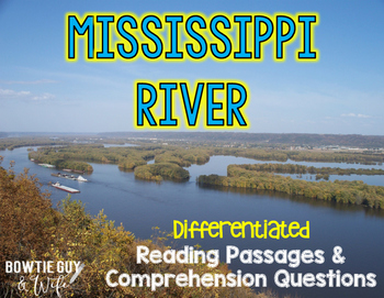
Mississippi River Differentiated Nonfiction Reading Passages
In this resource, there is a nonfiction reading passage based on the Mississippi River. It is differentiated for your high, mid, and lower level students as you study major landforms and rivers of the United States. Integrate geography content with your reading texts and meet each reader's needs with this set. Guided Reading levels are M-P-S.
$Why should I purchase this passage set?$
• Textbooks aren't what they used to be...if we have them at all. Often textbooks are written well above grade
Subjects:
Grades:
3rd - 7th
Types:
Also included in: Major Rivers and Mountains of the United States Leveled Texts BUNDLE
Indigenous Peoples of the United States History Unit Bundle
Indigenous Peoples Interactive Notebook Bundle, which works for both print and Google Drive™, is a bundle of five units that cover the native settlers of North America and the United States. Geared as a unit in the 5th-grade study of United States History.This bundled download contains both a printable format as well as a Google Drive™ compatible format for the following sections:• Early People of North America Interactive Notebook: Investigates how the early people arrived in North America, evo
Grades:
4th - 6th
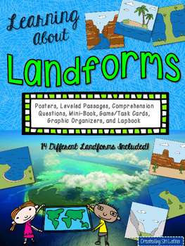
Landforms Lapbook and Close Reading Passages
This packet contains several resources for teaching your students about 14 different landforms: oceans, lakes, islands, mountains, hills, plateaus, isthmuses, peninsulas, bays, volcanoes, rivers, canyons, valleys, and glaciers
*Color posters with a clear illustration and definition for each landform. These can be printed or projected.
*Lapbook or interactive notebook foldables
*Close reading passages for each landform, Lexile-leveled, appropriate for grades 3-5.
*Accompanying comprehension q
Subjects:
Grades:
2nd - 5th
Showing 1-24 of 363 results


