11,879 results
Not grade specific geography activities
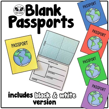
Blank Passport Template
Your students can travel around the world (or the classroom!) with these blank passports. Each passport template prints on one page and is folded to create a booklet with a cover, information page, visa / stamp page, and backing.
♢ Generic, non-country specific
♢ 5 cover colors: yellow, blue, rust, green, purple
♢ Black & white version included
♢ PDF format
You might also like:
Classroom Passport Stamps
Case File Stamps
Thank you for stopping by my store! I appreciate all comments and
Subjects:
Grades:
Not Grade Specific
Types:
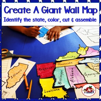
Giant Map of the United States Puzzle After State Testing Activities
Students use this engaging puzzle activity to create a giant United States map. Give your students a fun, engaging hands-on experience to become more familiar with America's 50 states and how they fit together.Students need to identify unlabeled state puzzle pieces by observing their shapes and then arranging them to construct a large US map. An index is provided to limit choices to only a few. The completed map is approximately 28" x 42".**The video (above) was created using the pieces for th
Subjects:
Grades:
Not Grade Specific
Types:
Also included in: The Bundle of America's 50 Great States
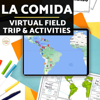
La Comida Explore Food in Spanish-Speaking Countries Virtual Field Trip ENGLISH
Need Spanish 1 sub plans or an activity for your Spanish food unit? This virtual field trip is great for your novice and exploratory Spanish classes to explore Spanish culture and food!The readings are in English and explore a variety of countries and foods. Each reading includes the food's name, and some background . The videos linked are a mix of Spanish and English. Great for novices or introducing your students to a variety of foods in the Spanish-speaking world!Please click here to save 20%
Subjects:
Grades:
Not Grade Specific
Types:
The United States of America Map - Blank - Full Page - King Virtue's Classroom
The United States of America Map - State Lines - Blank - Full Page - King Virtue's ClassroomWorking on your unit on Map Skills? This map is the perfect resource for you! Use it to review The United States of America with your students.This set includes:1 map sheetEnjoy!:)Copyright © King Virtue’s Classroom • www.kingvirtuesclassroom.com • All rights reserved.
Grades:
Not Grade Specific
Types:
Also included in: Social Studies MegaBundle - King Virtue's Classroom
World Map: Continents and Oceans - Blank - Full Page - King Virtue's Classroom
World Map: Continents and Oceans - Blank - Full Page - King Virtue's ClassroomWorking on your unit on Map Skills? This map is the perfect resource for you! Use it to review the 7 continents and 5 oceans with your students.This set includes:1 map sheetEnjoy!:)Copyright © King Virtue’s Classroom • www.kingvirtuesclassroom.com • All rights reserved.
Grades:
Not Grade Specific
Types:
Also included in: Social Studies MegaBundle - King Virtue's Classroom
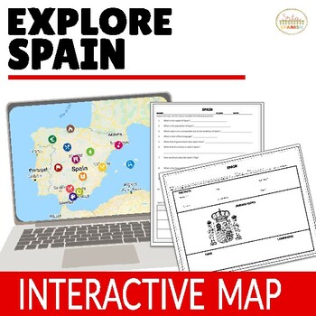
Virtual Field Trip to Spain Spanish Lesson Plans for Spanish Culture in ENGLISH
Let your students explore geography around the world! Content is discovered via an interactive Google Map through images, short readings, and videos! Time saver for you and engaging for students!❁ Click here to save 20% on a bundle of similar resources!! ❁Content, questions, and graphic organizer are in ENGLISH and explore geography and culture to help them learn about the beautiful country of Spain! INCLUDED:Map in EnglishWorksheet and Graphic Organizer in EnglishStudent pages in Google Slide
Subjects:
Grades:
Not Grade Specific
Types:
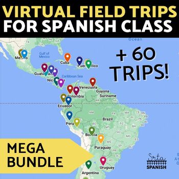
Virtual Field Trip Interactive Map Spanish Culture and Geography Activity BUNDLE
Let your students explore geography around the world! Content is discovered via interactive Google Maps through images, short readings, and videos! Time saver for you and engaging for students! Use this resource if you have devices in your classroom!Each resource includes an interactive map with short readings, and images or videos to help them explore content and geography at the same time! RESOURCES INCLUDED:❁ CountriesArgentina Digital Activities In EnglishArgentina Digital Activities in Span
Subjects:
Grades:
Not Grade Specific
Types:
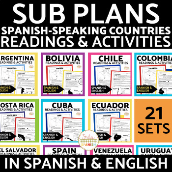
Spanish-Speaking Countries Reading Activities in Spanish and English Bundle
This HUGE Spanish-Speaking Countries Reading Activities GROWING Bundle includes 21 (!) reading infographics and comprehension activities!The resources ALL include:2 pages of infographic readings comprehension activitiesanswer keysAll in Spanish and English10 pages for each resource!Included Countries:ArgentinaBoliviaChileColombiaCosta RicaCubaEcuadorEl SalvadorEspañaGuatemalaGuinea EcuatorialHondurasMéxicoNicaraguaPanamáParaguayPerúPuerto RicoLa República DominicanaUruguayVenezuela Please note,
Subjects:
Grades:
Not Grade Specific
Types:
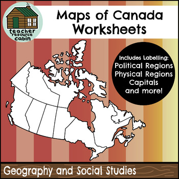
Political and Physical Map of Canada for Students to Label and Colour (10 Maps)
This resource contains 10 worksheets of maps of Canada to support students as they learn to identify and locate all of the provinces, territories, physical regions, and capitals of Canada. This resource is made for 8.5"x11" paper, but could be resized using printer settings to accommodate larger paper. This product contains an ANSWER KEY.Map Worksheets Included:Political map of Canada (Provinces/Territories) with no title and blank legend template.Political map of Canada (Provinces/Territories)
Grades:
Not Grade Specific
Types:
Also included in: Grade 4 Ontario Social Studies Workbook Bundle
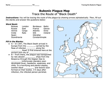
Bubonic Plague "Trace the Black Death" Map Activity 2.0 / Medieval Europe
This is a fantastic map activity to teach students characteristics of the Black Death as well as the routes along the Silk Route and sea trade routes that the Plague travelled along. Like "connect the dots," students will fill out a map, trace the plague, and answer essential questions. A key is provided.CLICK HERE for a primary source assignment on the Bubonic Plague.©Founding Fathers USA. All rights reserved by Founding Fathers USA. This product is to be used by the original downloader only. A
Subjects:
Grades:
Not Grade Specific
Types:
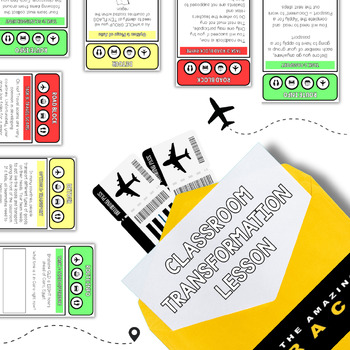
The Amazing Race - Editable Template
This editable template could be used to facilitate a transformation challenge-based lesson across any grade or faculty area. It includes:Facilitation PPTTeacher instructionsTask cardsEnvelope covers. The example slide has been specifically designed for a Year 10 Geography lesson on Factors Influencing Tourism.
Grades:
Not Grade Specific
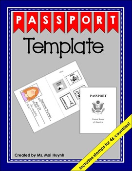
Passport Template
You and your students will love this simple passport template. Students can cut the country's stamp and glue it onto the visa page of their passport after "traveling" to that country. For your convenience, I organized the passport stamps in two different ways. I put all 46 unique stamps on two pages and I also put the stamps of one country on one page for each of the 46 countries. Download the preview to see what each of the passport stamps look like.
I would recommend printing the passport cov
Subjects:
Grades:
Not Grade Specific
Types:
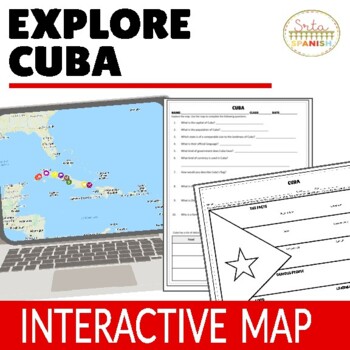
Cuba Virtual Field Trip Digital Map Activities ENGLISH ONLY
Let your students explore geography around the world! Content is discovered via an interactive Google Map through images, short readings, and videos! Time saver for you and engaging for students!Content, questions, and graphic organizer are in ENGLISH and explore geography and culture to help them learn about the beautiful country of CUBA! ❁ Click here to save 20% in a bundle! ❁INCLUDED:Map in EnglishWorksheet and Graphic Organizer in EnglishStudent pages in Google SlidesTeacher's NotesAnswer
Subjects:
Grades:
Not Grade Specific
Types:
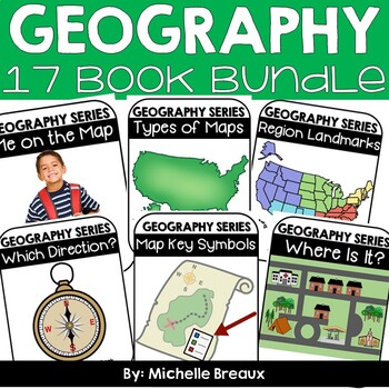
GEOGRAPHY BUNDLE-- Map Skills & Resources Adapted Books (ULS- February Unit)
* 48% SAVINGS * 15 Books & lots of extras!!Doesn’t EVERY student deserve to be engaged and participating science and literacy? Adapted books are just what you need to strengthen vocabulary and build receptive and expressive language, all while interacting in a fun and engaging way. These 15 adapted books all about maps, directions, map symbols, types of maps, landforms, and natural & manmade resources will engage ALL students while reading about geography topics at an easy to comprehend
Subjects:
Grades:
Not Grade Specific
Types:
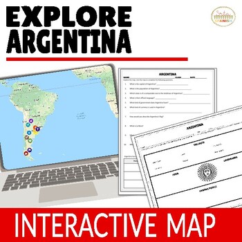
Argentina Virtual Field Trip Digital Map Activities ENGLISH ONLY
Let your students explore geography around the world! Content is discovered via an interactive Google Map through images, short readings, and videos! Time saver for you and engaging for students!❁ Click here to save 20% on a bundle of similar resources!! ❁Content, questions, and graphic organizer are in ENGLISH and explore geography and culture to help them learn about the beautiful country of Argentina! Students read, watch, and explore using the Google Map, then record information on the gr
Subjects:
Grades:
Not Grade Specific
Types:
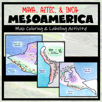
Mesoamerica: Map Coloring & Labeling Activities BUNDLE! (Maya, Aztec, Inca)
Teaching about Mesoamerica and the cultures of powerful indigenous empires? These map activities are a great addition! This bundle adds a geographic component to your Mesoamerica unit. It is completely student-centered and includes a Google compatible resource to limit the use of paper (however, blank maps should be printed for labeling and coloring purposes). Round out your unit with a fun 'Make a Travel Brochure' assignment- included with each Mesoamerica map resource!TOPICS:- Maya Civiliz
Grades:
Not Grade Specific
Types:
2040 Documentary Sustainability Lesson with Viewing Worksheets and Activities
This exciting resource will engage your students and get them thinking about the world we currently live in, and the what the world could look like in a sustainable future. The documentary addresses climate change and follows a father travelling the world in search of answers to climate change, to show his four-year-old daughter what her life could look like in 2040, if the world implemented these sustainable practices. Included in this resource is a comprehensive pre-viewing PowerPoint presenta
Subjects:
Grades:
Not Grade Specific
Also included in: CLIMATE CHANGE BUNDLE | ANTHROPOGENIC CLIMATE CHANGE
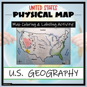
US Physical Map Activity- Label and Color US Physical Features!
This US Geography Map Activity is a MUST for students who are learning about the physical features of the United States! Students will identify, label, and color important geographic elements throughout the country. Directions for labeling and coloring is provided. A completed and colored map is provided for reference, but this map can be completed using a textbook or online resource as well. This is a creative and engaging way of supplementing lessons on geography, topography, and the history
Grades:
Not Grade Specific
Types:
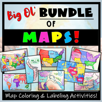
Big Bundle of Map Activities! Color & Label US, World, Conflict Maps & More!
Humans love coloring- tap into your students' interests and apply it to your Social Studies and Geography lessons! 21 different map activities are available and cross many different social studies topics- like American History or Ancient Civilizations. All maps are completely student-centered and act as a great supplement to their learning. These are great to have on hand for homework assignments, independent student work days, to enhance geographical knowledge, and to include in your emergen
Subjects:
Grades:
Not Grade Specific
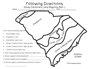
South Carolina's Land Regions- Following Directions Activities
Do you want your students to practice following directions and learn about South Carolina's land regions at the same time?!?! If so, these maps are for you!
This download includes two maps. On the first map, your students will color each region in a specific color. Your students will also answer a few questions about the map. On the second map, your students will draw certain characteristics inside each region. Example: Draw 3 mountains in the Blue Ridge.
This activity is a part of my So
Subjects:
Grades:
Not Grade Specific
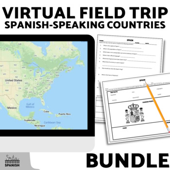
Spanish Speaking Countries Virtual Field Trip Exploratory Spanish Activities
Let your students explore history, geography, and cultural traditions around the world! Content is discovered via an interactive Google Map through images, short readings, and videos! Time saver for you and engaging for students!Students read, watch, and explore using the Google Map, then record information on the graphic organizer and answer comprehension questions. This activity is great for reinforcing geography while learning about culture! It would also be a great sub plan.Included Resource
Subjects:
Grades:
Not Grade Specific
Types:
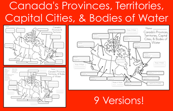
Mapping Canada's Provinces, Territories, Capital Cities, & Bodies of Water
This product includes nine map versions! There are three different types of maps, and each type has three different levels of difficulty designed to meet the needs of all your students!Map #1 - Students must label all of the provinces and territories of Canada.Version 1 - Fill in the blanksVersion 2 - First letter clue givenVersion 3 - Trace over the lettersMap #2 - Students must label all of the provinces, territories, and five bodies of water of Canada. *Word bank provided*Version 1 - Fill in
Subjects:
Grades:
Not Grade Specific
Types:
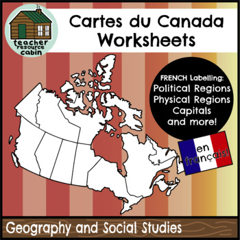
FRENCH Cartes du Canada | Maps of Canada to Label and Colour (10 Maps)
This resource contains 10 worksheets of maps of Canada in FRENCH to support students as they learn to identify and locate all of the provinces, territories, physical regions, and capitals of Canada in French.This resource is made for 8.5"x11" paper, but could be resized using printer settings to accommodate larger paper. This product contains an ANSWER KEY.Map Worksheets Included:Carte politique du Canada (Political map of Canada) (Provinces/Territories) with no title and blank legend template.C
Subjects:
Grades:
Not Grade Specific
Types:
Also included in: MEGA BUNDLE: Grade 4 Ontario FRENCH Social Studies Full Units
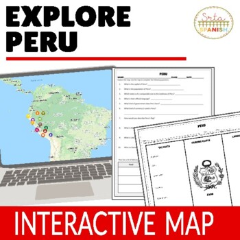
Culture Lesson for Peru Virtual Field Trip Digital Map Activities ENGLISH ONLY
Let your students explore geography around the world! Content is discovered via an interactive Google Map through images, short readings, and videos! Time saver for you and engaging for students!Content, questions, and graphic organizer are in ENGLISH and explore geography and culture to help them learn about the beautiful country of PERU! ❁ Click here to save 20% in a bundle! ❁INCLUDED:Map in EnglishWorksheet and Graphic Organizer in EnglishStudent pages in Google SlidesTeacher's NotesAnswer
Subjects:
Grades:
Not Grade Specific
Types:
Showing 1-24 of 11,879 results


