146 results
Geography resources for Microsoft Publisher en francais
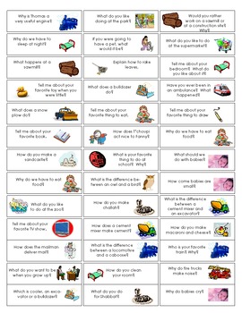
Open-Ended Questions Jenga game
This is a sheet to print onto Label paper. Cut them out and stick them to a Jenga game to have a fun game to work on in Oral Language groups or in Speech Therapy. There are 3 pages-- One in English, One in French and the third sheet is a blank Jenga template so you can create your own Jenga questions.
Subjects:
Grades:
PreK - 3rd
Types:
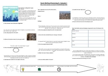
Geography - Kevin McCloud: Slumming It - Episode 1 - Supporting Worksheet
Worksheet written to support Kevin McCloud: Slumming It - Episode 1. This worksheet focuses on the slum in Dharavi and how an outsider views the conditions and community within it.It includes a variety of data collection activities and higher order thinking tasks to differentiate.I have written this for GCSE students studying World Cities, Urbanistaion, Urban Issues and Resource Management. This can also be adapted for A Level studnents.I have also included a statistical-analytical comparison ta
Subjects:
Grades:
Not Grade Specific
Types:
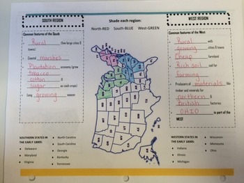
Early Regions of the United States
This brochure is used as a graphic organizer that the students complete and glue into their Social Studies interactive notebook. The organizer distinguishes between the main characteristics dividing the early regions of the United States into the North, South, and West.
Ohio's New Learning Standards Geography 11: The regions which became known as the North, South, and West of the United States developed in the early 1800s largely based on their physical environments and economics.
Grades:
3rd - 7th
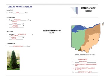
Regions of Ohio Graphic Organizer
This brochure featuring the Regions of Ohio is used as a graphic organizer and is glued into our Interactive Social Studies Notebooks. It covers the location, landforms, industry, vegetation, and major cities for each region. It accompanies a short smart board presentation.
Ohio's New Learning Standards Geography 10: The economic development of the United States continues to influence and be influenced by agriculture, industry, and natural resources in Ohio.
Subjects:
Grades:
3rd - 7th
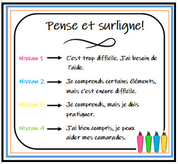
Auto-évaluation ÉLÈVE immersion - FRANÇAIS
This document is a great way for students to immediately tell you how they feel they did on their quiz, test, project, etc. Print, cut, and stick it on their desk or even in their agendas! They highlight their name using the color that best identifies their perceived understanding of the assessment. Its a great indicator for you, as a teacher, to know IMMEDIATELY how students felt they did.
Subjects:
Grades:
3rd - 12th
Types:
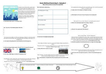
Geography - Kevin McCloud: Slumming It - Episode 2 - Supporting Worksheet
Worksheet written to support Kevin McCloud: Slumming It - Episode 2. This worksheet focuses on the slum in Dharavi and the issues of recycling, redevelopment and the future of the slum.Written in Publisher formatted to A3.
Subjects:
Grades:
Not Grade Specific
Types:
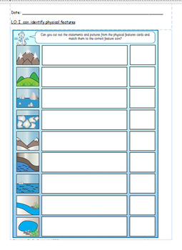
Physical and human features cut and stick worksheet.
Physical and human features cut and stick worksheet.
Subjects:
Grades:
3rd
Also included in: Year 2 Topic bundle.
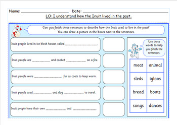
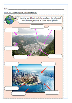
Human and physical features aerial worksheet.
Human and physical features aerial worksheet.
Subjects:
Grades:
2nd - 3rd
Also included in: Year 2 Topic bundle.
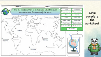
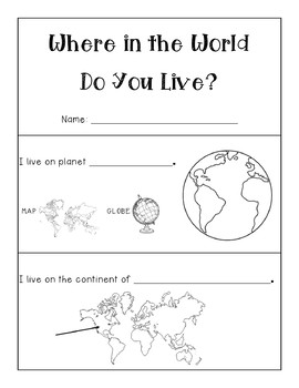
Where In The World Do You Live? Editable Map Booklet
I created this map booklet for my students to pin point exactly where they live in the world! Complete with a booklet cover, the pages start at their planet, then zoom in to continent, country, state, county, city, street and room. The students can write on the line and color/draw pictures for each page. Editable so that you can change the country, state, county and city/town as needed. This booklet was created originally for Virginia, Richmond specifically, but can be changed to suit where
Grades:
1st - 5th
Types:
Also included in: MAPS and GLOBES BUNDLE! - Social Studies
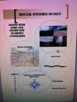
Social Studies Skills Scoot
This activity has 31 questions that asks the students to show their knowledge on the ability to accurately use map scale, cardinal and intermediate directions, distinguish between human and physical features, identify states surrounding Ohio, place events on a time, and answer questions using a timeline.
This aligns with the following Ohio's Social Studies New Learning Standards: 4.HIS.1, 4.GEO.9, 4.HIS.8
Subjects:
Grades:
3rd - 6th
Types:
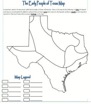
Map Activity - Texas Native Americans
Students color the map, create doodles and hashtags to better understand the Native Americans in early Texas.
Grades:
6th - 12th, Higher Education, Adult Education
Types:
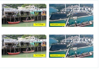
Coastal pictures lesson with activity for topic.
Coastal Adventure: Dive into the WondersOnce the topic is unveiled, brace yourself for an immersive coastal adventure! Our expert instructors will guide you through a captivating journey, sharing fascinating insights, captivating visuals, and real-life stories that bring the topic to life. Immerse yourself in the wonders of the coast as you explore its unique ecosystems, encounter its diverse inhabitants, and witness the forces that shape these stunning landscapes.
Subjects:
Grades:
2nd - 4th
Also included in: Coastal and map work bundle with worksheets.
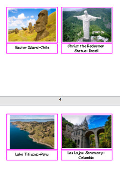
Montessori South America Landmarks
Montessori South America nomenclature cards perfect for the cultural shelf. These landmark cards are ready to print 2 copies and laminate.
Subjects:
Grades:
PreK - 1st
Types:
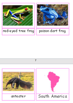
Montessori South America animals
Montessori nomenclature cards for South America studies. These cards have common animals in South America and are ready to print and laminate.
Subjects:
Grades:
PreK - 1st
Types:
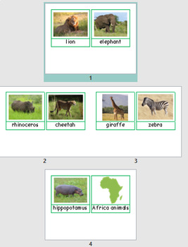
Montessori Africa animal nomenclature
Montessori nomenclature cards for Africa animals. Print 2 sets and laminate and they are ready to go!
Subjects:
Grades:
PreK - 1st
Types:
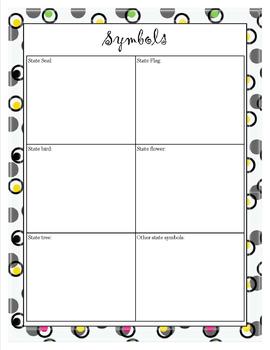
States Project
Complete state project. Letter to parents included with rubric for grading. Directions for every component of project. Sheets for final draft of project as well as research sheets. Includes report and guidelines for all aspects of the project. Usable for any state.
Grades:
4th - 6th
Types:
French Menu (Part 1) Food Restaurant France Cuisine Culture
This French Menu (Part1) is a great tool for your students to learn about traditional French dishes. Print it, glue it, and laminate it. It will look like a real French menu!
A Smart Notebook slide (Part 2) illustrates the menu with 36 pictures. It also includes four interactive SmartBoard exercises.
Several handouts (explanations and assessments) are included in Part 3.
Subjects:
Grades:
4th - 12th, Higher Education, Adult Education
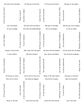
Puzzle: Aller a/Venir de
French to English 4x4 puzzle. I had my TA put all the same number on the back of each one (1 on the first, 2 on the 2nd so if one drops, you know which set) then cut it up and put in a paperclip. I also keep one copy for a key. PLEASE NOTE THIS IS A .PUB file. PDF Now included!
Subjects:
Grades:
9th - 12th
Types:
Also included in: Puzzles Bundle
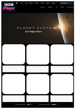
Human and Physical Features Geography Activity
Made from scratch resource, aimed to look like BBC iPlayer website. This has been used previously to describe different human/physical features in a particular region but can be adapted for any region. Children either stick in or draw human/physical features of a particular area/region/state/country and write a simple sentence to describe it below. Children responded well to it and it was an engaging resource.
Subjects:
Grades:
Not Grade Specific
Types:
On The Same Day in March Companion
A companion workbook to the book On The Same Day in March by Marilyn Singer. Read the book and have students research what the weather is like in different places around the world. Students fill in questions about how the weather is where they are and then using the internet they can see what the weather is like in different locations around the world, compare and draw pictures of how they think the weather looks in those parts of the world.
Subjects:
Grades:
2nd - 5th
Types:

Passports
This document is a student passport that will be used to help students in learning what continent a country is in, what other countries surround a country, what holidays they celebrate, what religions they have, what the traditional food is and what their flag looks like. Once students have completed the whole page in the passport the teacher will stamp their passport so they can make their way to the next country.This is an editable document so teachers can insert their names next to the stamp
Subjects:
Grades:
3rd - 4th
Types:
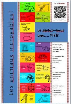
Funny Animal facts - French
Silly animal facts poster in French. There are a lot of interesting facts about animals that seem untrue, but they are facts!Il y a beaucoup des faits animaux qui se semblant faux, mais ils sont vrai!
Subjects:
Grades:
1st - 8th
Types:
Showing 1-24 of 146 results

