1,674 results
2nd grade geography handouts
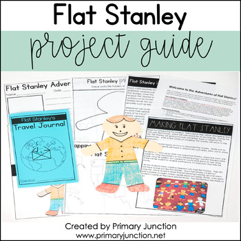
Flat Stanley Project Guide Template
Are you preparing to teach a unit on Flat Stanley with your class? Would you like to complete the Flat Stanley project with your class, but you’re not sure where to begin? Would you like to teach your students more about the world outside their town? If so, this Flat Stanley Project Guide has you covered!The Flat Stanley Project Guide contains everything needed to implement the Flat Stanley project in a classroom! Throughout the project, students will learn about cities, towns, states, and count
Subjects:
Grades:
2nd - 3rd
Types:
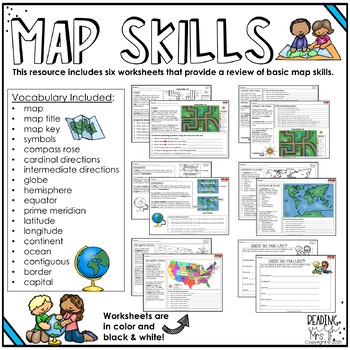
Map Skills Review Worksheets
This resource includes six worksheets to help review basic map skills with your students! Each worksheet comes in color or black & white for your printing preference. Worksheets include text that describes key vocabulary, a map to reference, and questions for students to answer.Vocabulary Included:•map•map title•map key•symbols•compass rose•cardinal directions•intermediate directions•globe•hemisphere•equator•prime meridian•latitude•longitude •continent•ocean•contiguous•border•capitalFollow m
Grades:
2nd - 4th
Types:
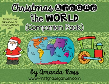
Christmas Around the World Interactive Slideshow or Informational Text
This is a companion pack to my best-selling "Christmas Around the World Scrapbook & Craft Pack".**Updated Sept. 12/16 -- slideshow is now 87 pages with 20 countries, including other winter holidays such as Kwanzaa, Diwali, and Hanukkah.**Updated Dec. 12/16 -- added an editable version of the slideshow pages so you may add your own countries. I will not be adding any more countries to the pack.**Updated Nov. 30/20 -- added a folder with separate PowerPoints for each country, to help with dist
Grades:
K - 3rd
Types:
Also included in: Christmas Around the World Bundle
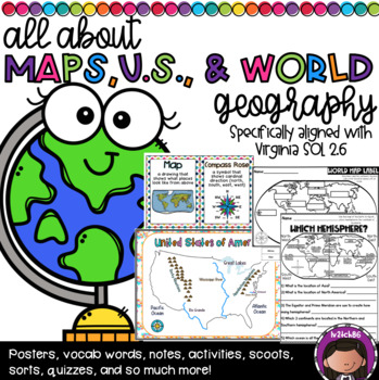
US Geography and Continent Bundle (SOL 2.6)
This is a huge bundle!! This was specifically created to address the needs of SOL 2.6 . This has practically everything you need to teach this unit. This packet includes:Pages 6-17: Vocabulary Cards (2 versions-whole page & 1/4 page)Pages 18-20: Map Parts foldablePage 21: Parts of a Map notesPages 22-30: Parts of a map match (3 versions included)Pages 31-32: Parts of a Map Cloze SentencesPage 33: Compass Rose Exit TicketPages 34-35: Map Scavenger Hunt-Directions: 1) Group students 2) Give ea
Subjects:
Grades:
1st - 3rd
Types:
Gr. 3 Social Studies YEAR BUNDLE- All Saskatchewan Gr. 3 SS outcomes
I have combined all of the following mini-units for each of the SK Grade 3 Social Studies outcomes into one bundle. This is all that you will need to cover your Social Studies for the entire year. Each mini unit includes information pages, activities, worksheets, video links and unit quiz. The units are also available to be purchased individually or in smaller bundles of the 3 connected outcomes. - Representations of Earth (SK outcome DR3.1)- Geography and Societies (SK outcome DR3.2)- Livin
Grades:
2nd - 4th
Types:
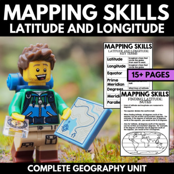
Mapping Skills And Activities - Latitude Longitude Maps and Globes - Geography
Mapping Skills and Activities for Geography featuring Latitude and Longitude! For these geography activities, students practice mapping skills while learning about latitude and longitude in a fun and engaging way. A variety of fun mapping activities are included - use these latitude and longitude activities for your upcoming geography unit or mapping unit! The included activities would make a great addition to a geography interactive notebook!This activity includes the following latitude and lon
Grades:
1st - 4th
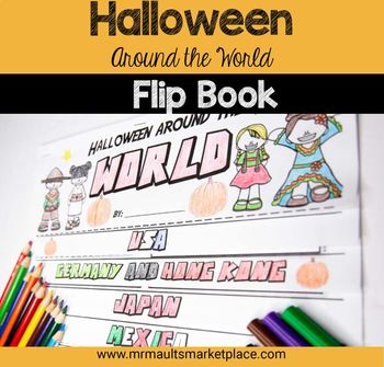
Halloween Around the World Flip Book - History & Reading Activity for Grades 3-6
Engage your 3rd, 4th, 5th, and 6th grade students in social studies lessons with this interactive Halloween Around the World Flip Book! In this resource, students will learn about the history of Halloween, as well as many other October Celebrations around the world! Students will read engaging stories and facts about Halloween and other spooky holidays in Germany, Japan, Ireland and more to create this fun History Flipbook! Halloween Around the World Flip Book - History & Reading Activity In
Subjects:
Grades:
2nd - 5th
Types:
Also included in: Mini Halloween Math Bundle- 3 Activities to Engage Your Students
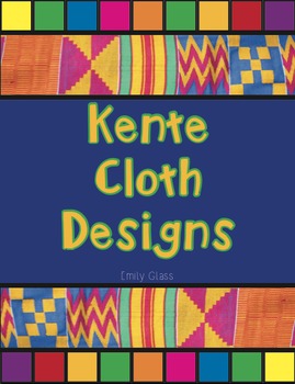
Kente Cloth Designs and Meanings
Recently I did an "Art Around the World" Unit and fell in love with Kente Cloth from Ghana. My 3rd graders made Kente Cloth and we used this handout to create their pieces! There are 20 designs featured here and each design's meaning is included as well. Each design and color is full of meaning and symbolism. By the end of the project your students will have Kente Cloth full of meaning. This handout is simple and easy to read. I know your students will love it!
EmilyGlassSC@gmail.com
Subjects:
Grades:
2nd - 7th
Types:
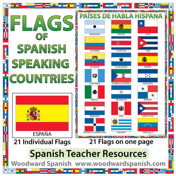
Flags of Spanish-speaking Countries
Flags of the 21 Spanish-speaking countries.
These flags are perfect for decorating the Spanish classroom. You may also want to laminate the flags and use them as large flashcards.
There are 21 individual flags of the following Spanish-speaking countries: Argentina, Bolivia, Chile, Colombia, Costa Rica, Cuba, Ecuador, El Salvador, España, Guatemala, Guinea Ecuatorial, Honduras, México, Nicaragua, Panamá, Paraguay, Perú, Puerto Rico, República Dominicana, Uruguay, Venezuela.
Each flag is on its
Subjects:
Grades:
1st - 12th, Adult Education
Also included in: Spanish Bundle – Spanish-speaking Countries and Capitals
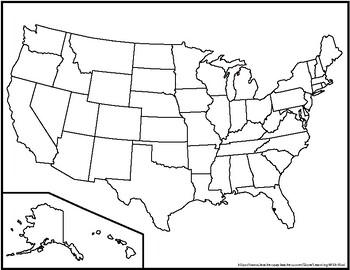
Blank United States Maps (Four map versions with Quiz)
Hi there! This file contains four maps of the United States of America: a blank mapa blank map with stars for the capitalsa blank map with states numbered in order of statehooda larger map (two-page spread) with stars for the capitalsAlso included is a fill-in sheet (quiz) for students to name the numbered states and an answer key. Thank you for shopping with "Learning With Kiwi" and happy learning!
Subjects:
Grades:
K - 8th
Map Skills: Social Studies! Cardinal Directions, Symbols! No PREP! Units 1-4
Map Skills, Cardinal Directions, Intermediate Directions, & Map Symbols made fun!
Do you teach Social Studies and struggle to find interesting, yet educational activities and lesson ideas? If so, this is EXACTLY what you need for 3-4 weeks of lessons! Included in this first edition of map skills are units 1-4.
Featuring:
*Land/Water
*Cardinal Directions
*Intermediate Directions
*Map Symbols
This is PERFECT for Grades 3-5.
Included is a teacher page for each unit, with a unit objective,
Grades:
2nd - 5th
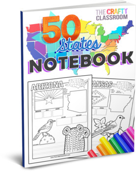
50 State Activity Pages
50 State Activity Pages to help your students learn how to map the location, capital, nickname, state flower, state bird, landmarks, and abbreviations of each state! Designed for multiple ages, K-5, and abilities, your students will write key details about each of the 50 states while exercising important skills such as writing, drawing, researching facts, and mapping each state of the union. These fun-filled, hands-on worksheets include no-prep journal pages and cover multiple subjects such as g
Grades:
K - 5th
Types:
Also included in: U.S.A. Activity Bundle: 50 State Teaching Resources
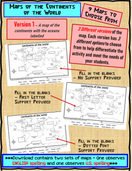
Maps of the Continents of the World For Students to Label and Colour/Color
This download contains 9 maps of the continents of the world (11 x 17 paper) to allow you differentiate your instruction to help meet needs of all students in your classroom as they learn to identify and locate the continents of the world. ***Please note that there are 2 sets of each of the 9 maps – one set observes English Spelling and one set observes U.S. spelling.***This download contains: 1. A map of the continents with the oceans labelled and the continents left blank for students to fill
Subjects:
Grades:
2nd - 7th, Adult Education
Types:
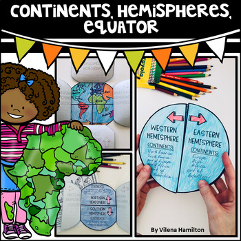
Continents. Hemispheres. Equator. Reading Passage & Foldable.
Reading Passage + Foldable to help your students memorize the continents and understand hemispheres in a simple and not so boring way. Here is what's included:- 2-Page Reading Passage about continents, hemispheres, & equator with 10 comprehension questions;- Foldable Templates;- Answer Keys for everything.You might also like:Maps. Map Skills. Compass Rose. Distance Scale. Map Key. Map Grid.Family Tree Project. Digital & Printable3 Branches of Government Mini Interactive Lapbook. Digital
Grades:
2nd - 3rd
Also included in: Geography Bundle
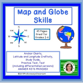
Map and Globe Skills
This DIFFERENTIATED map and globe skills bundle includes anchor charts, vocabulary, study guide, craftivity, practice test and unit test!Differentiated pages have an "M" in the upper right corner for "modified"12 Anchor Charts plus Vocabularytypes of mapsglobe, a map, a map key/legend, directions, compass rose hemispheres, quadrantsLatitude, Longitude, Equator, Prime Meridianfind coordinates on a U.S. mapMileage Chart, Continents, Oceans___________________________________________________________
Subjects:
Grades:
2nd - 6th
Types:
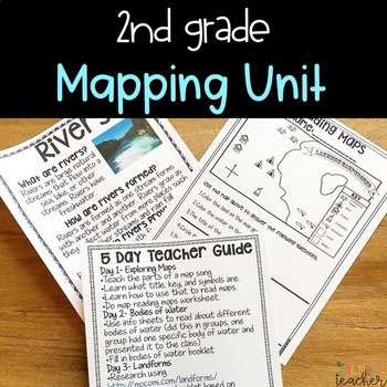
2nd Grade Mapping Unit
A hands-on unit to teach mapping in 2nd grade. It covers reading maps, landforms, bodies of water and constructing maps! There are many hands-on and engaging activities to go with each concept. Why will these lessons help your students grow?Engagement- Your students will LOVE making maps, learning about maps, and doing tons of research! Research- Your students will work on researching skills throughout the lessons.Low Prep- All you have to do is print and let the kids do the rest!What’s Include
Subjects:
Grades:
1st - 3rd
Types:
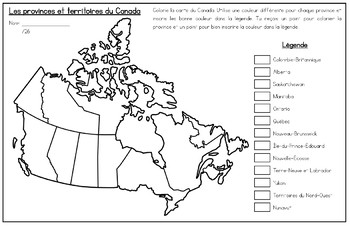
French Map of Canada and Capitals - La carte du Canada et les capitales
Includes two French maps of Canada so your students can learn the provinces, territories and capitals of Canada.Map one teaches students the location and names of all the provinces and territories of Canada. Map two teaches students the provincial and territorial capitals of Canada. Perfect for visual learners! Sized for Tabloid paper (11x17) but can be printed on regular printer size as well.Perfect for FSL, immersion or francophone students!Also available in English: Map of Canada and Capitals
Subjects:
Grades:
1st - 6th
Types:
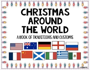
Christmas Around The World Packet {10 Countries + Worksheets}
Learn how these eleven countries around the world celebrate Christmas! The countries that are included in the packet are: Australia, USA, China, England, France, Germany, Greece, Italy, Mexico, Russia, and Scotland. Also included is a blank venn diagram and a writing space to describe their Christmas tradition. There is a writing page for K-2 primary kids and the upper grades.Each page includes the map of the country and the flag. It also includes how to say Merry Christmas in each language as w
Grades:
PreK - 8th
Types:
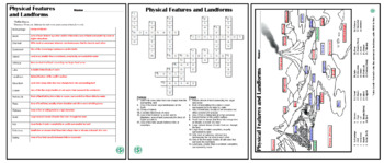
Physical Features and Landforms Worksheets
The Physical Features and Landforms Worksheets are formative assessments used to reinforce introductory geography lessons. Included in the purchase are: Physical Features and Landforms (vocabulary) Worksheet, Physical Features and Landforms (fill-in-the-blank) Worksheet, and Answer Keys for each.
Subjects:
Grades:
2nd - 10th
Types:
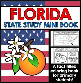
Florida State Study - Facts and Information about Florida
{Florida, Florida State Study, Florida Study, Florida Research, Florida Mini Book, Florida Project, Florida Activity, Florida Unit, All About Florida, Florida State Symbols}
This 27 Page Florida State Study Mini Book is a great way to teach primary grade students all about Florida. Perfect for your Florida unit, this state study mini book contains information about Florida state symbols, as well as other key information and details all about Florida. This state study mini book works well for
Grades:
1st - 2nd
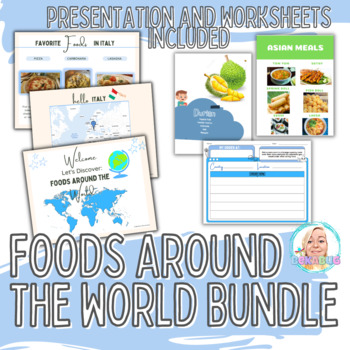
Bundle of Favorite Foods from Around the World, Popular Foods, World Culture
Welcome to my shop, Becky's Life Lessons!This is a bundle of 3 resources including:Foods from Around the World Worksheets 36 in total(3) Different style pages of worksheets Features Meal types in different countries PRODUCT 1:Foods Around the World is an exciting presentation that introduces students to many unique foods from around the world. With this presentation, students will be able to explore the different flavors and ingredients of each country and excite their taste buds, and indulge in
Subjects:
Grades:
2nd - 6th
Types:
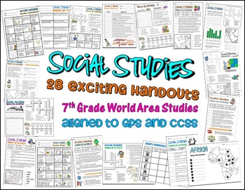
Bundle of 28 Worksheets for 7th Grade Social Studies GPS Georgia
This is a HUGE lot of fun and engaging handouts for students to use in reviewing key information. Included in this package are 28 individual activities, including puzzles, maps, fill-in-the-blank sections, word searches, matching, etc. Most of these items were created to help students review for the end of year test, so they cover a variety of topics and standards.
This is a great way to get your students excited about social studies. I use most of these resources as warm up and closing activi
Grades:
PreK - 12th, Higher Education, Adult Education, Staff
Types:
Social Studies Assessments 1-2 Grade
These assessments are given to first grade-second grade students to determine how well each student has mastered each unit. Assessments are aligned to the new Essential Standards for Social Studies and reinforce teaching the standards to their intended level. (Maps, Constitution Day, Goods and Services, Community Helpers, Florida, Map key, Map Legend, Timeline, Holidays, Continents and Oceans, Symbols of Our Country, United States Flag, Branches of Government, Needs and Wants)There are 13 Social
Grades:
1st - 4th
Types:
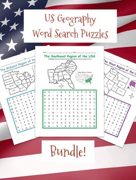
REGIONS OF THE UNITED STATES PRINTABLE MAPS AND WORD SEARCH PUZZLES BUNDLE
Introduce your students to the 5 regions of the United States with this bundle of printable word search puzzles! Each region includes one printable worksheet with a with a simple map of the states (plus answer key). For each region, students will refer to the map to find each state in the Word Search Puzzle!West Region includes Alaska, California, Colorado, Hawaii, Idaho, Montana, Nevada, Oregon, Utah, Washington, Wyoming. Southwest Region includes Arizona, New Mexico, Texas, Oklahoma.Northeast
Subjects:
Grades:
2nd - 4th
Types:
CCSS:
Showing 1-24 of 1,674 results


