3,447 results
Geography independent work packets under $5
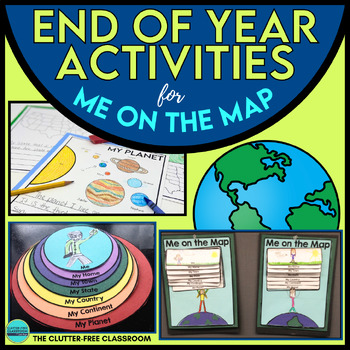
End of the Year Craft Activity Last Week of School Me on the Map Skills Review
Looking for an End of Year Craft Activity to Review Map Skills? Want a Last Week of School Writing Project? This Me on the Map flip book and summer writing pages are perfect for 1st, 2nd, 3rd or 4th grade students!This Maps and Globes activities pack has 8600+ POSITIVE REVIEWS and is the original & most highly-rated Me on the Map Project Activity Bundle on TpT. Teach map skills with crafts, printable worksheets, flip books & a nesting circle craftivity for the book by Joan Sweeney.It wil
Subjects:
Grades:
1st - 5th
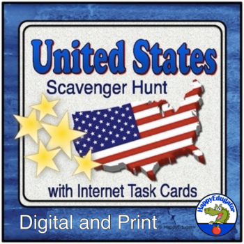
United States Scavenger Hunt Internet Task Cards with Maps
United States Scavenger Hunt Handout and Internet Task Cards. Includes a fun fill-in-the-blank geography hunt of the United States, five U. S. maps, and 30 task cards for exploring the internet. On the scavenger hunt sheet, students will need to use a US map (included) and will have to use their map skills to answer the questions. There are 30 blanks worth 3 points each, and one bonus question. Answer Key included. Also includes 30 internet task cards and a recording sheet. Digital Resource an
Subjects:
Grades:
4th - 6th
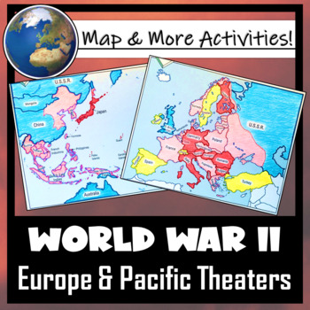
World War II: Map Coloring & Labeling Activities- Europe & Pacific Theaters!
This World War II Map Activity includes two map activities that include blank maps, student direction sheets, follow-up map tasks, and completed sample maps to use as reference. One map activity focuses on Axis Expansion in EUROPE and one on Axis Expansion in ASIA (The Pacific). They can be used with many different age groups, learning styles, and independently- great addition to your WWII unit!**Note: These maps focus on the peak of Axis power/control during WWII. Please see the completed ma
Grades:
5th - 10th
Also included in: US History / American History BIG BUNDLE of Resources! NO-PREP!
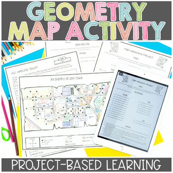
Map Skills | Project Based Learning | Geometry | Printable & Digital | Google
Have your students demonstrate their understanding of many different math concepts while designing a map of their own town! This hands-on math activity is a project that will definitely engage your students.Check out the preview for more details!Objective: To demonstrate an understanding of geometric terms and measurement. Students will be designing and drawing a map that will incorporate many mathematical concepts.The following concepts will be covered through this project-based learning activi
Subjects:
Grades:
2nd - 5th
Also included in: Project Based Math Activities BUNDLE
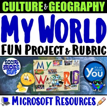
My World Culture and Geography Project | FUN Cultural PBL Activity | Microsoft
Students showcase their own unique cultures and geography with this fun “My World” project. First, a brainstorm activity challenges them to consider how cultural influences and geographical factors have shaped their lives. Then, they design creative and informative posters all about their WORLDS! Guided slides help you explain the project and a fill-in rubric makes grading easy. This project-based learning activity promotes cross-cultural understanding and students love decorating their globes w
Grades:
4th - 10th
CCSS:
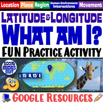
FUN Latitude Longitude Practice Activity | Geography Location Clues | Google
Students & teachers LOVE this digital “What am I?” activity! Challenge your class to use latitude & longitude coordinates to plot the locations of mystery animals on a world map. Then, they read clues & try to guess what animal lives at each absolute location. This activity integrates science & social studies curriculum and keeps your students highly engaged. Your purchase has print & interactive, digital versions of the materials. Made for traditional in-class learning or di
Subjects:
Grades:
4th - 8th
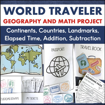
Country Research 3rd 4th Grade Geography 7 Continents Math Enrichment Project
This is a cross-curricular learning project that integrates social studies, math, geography, research, and writing. It is a great activity for the end of the year or enrichment any time!To complete this project, students travel to different continents as they take a world tour of six different countries. Through their travels, they will learn the location of these countries along with important facts about the culture. The countries students will visit and learn about include:AustraliaBrazilChin
Subjects:
Grades:
3rd - 4th
Also included in: Travel Project Bundle Country Research PBL STEM Challenges
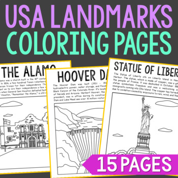
USA LANDMARKS Coloring Pages Activity | Bulletin Board Decor Posters
Set of 15 Famous USA Landmarks with Informational Text Coloring Pages or Posters. Makes a great addition to history interactive notebooks, biography projects, or research units. Keep these in your early finisher folder for no-prep fun.CLICK HERE to save 30% on this resource in the American Landmarks Bundle!Famous USA Landmarks Included: The AlamoCloud GateEmpire State BuildingFreedom TowerGateway ArchGolden Gate BridgeThe Grand CanyonHollywood SignHoover DamLas Vegas StripMount RushmoreSpace Nee
Grades:
2nd - 5th
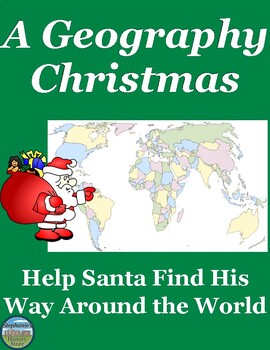
Geography Around the World Christmas Map Activity
Students will review map and research skills (cardinal directions, latitude, longitude) and what they learned about political and physical geography by helping Santa and his reindeer get from one location to another to deliver presents. There are 25 questions and each answer is a different location in the world (country, city, body of water, etc). Students will then map each location Santa went to and then send him to 4 of their own design. The answers are included and if your students have a
Subjects:
Grades:
6th - 9th
Also included in: World Geography Full Course Bundle
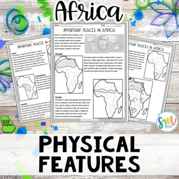
Geography in Africa Reading Activity Packet (SS7G1, SS7G1a) GSE Aligned
Your students will love learning about different physical features found in the Africa with this engaging, no prep reading activity! This is perfect for adding literacy to your social studies curriculum because it’s academically-aligned for ELA and for social studies. Plus, it’s so easy to use that you can even leave it for sub plans or use for homework packets! Resource Includes:➊ Passage (leveled for 7th grade)➋ Map Activities➌ Fill-in-the-Blank Activity ➍ Application of Knowledge Activity ➎ A
Grades:
7th
Also included in: Geography in Africa Reading BUNDLE (SS7G1, SS7G2, SS7G3, SS7G4) GSE
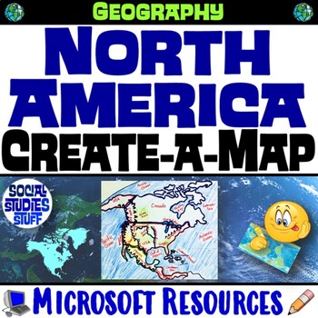
North America Create a Map Worksheet | Absolute and Relative Location Map Clues
End the cycle of bored students copying from a book to label maps! This Create-a-Map Worksheet takes labeling maps to the next level! Challenge your class to think critically using only absolute & relative location clues. Easy-to-follow directions make these a fun way to integrate mapping in your classroom! Everything you need is included!Includes Printable Resources: Microsoft & PDFPrintable Map Worksheet"Where is it?" Clues WorksheetAnswer KeyTeacher Reference GuideLocations Covered:US
Subjects:
Grades:
5th - 12th
CCSS:
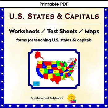
U.S. States & Capitals Maps, Worksheets, Assessments - U.S. Geography Practice
Teach the U.S. states and capitals easily with this set of U.S. maps, worksheets and assessments. This resource can be used independently or to supplement other U.S. states and geography curriculum. Perfect for both classroom and homeschool!Includes: Reference list of all the states with their capitalsBlack and white Map of the U.S. with states and capitals labeledBlank map of the U.S. for practiceColor map of the U.S. with states labeledPractice sheets to match the state with the capitalTest s
Grades:
4th - 7th
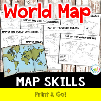
LABEL MAP OF THE WORLD: Continents, Oceans, Mountain Ranges! NO PREP!
Your students will love learning about mountain ranges, oceans, and continents with this engaging, no prep reading activity! This is perfect for adding literacy to your social studies curriculum because it’s academically-aligned for ELA and for social studies. Plus, it’s so easy to use that you can even leave it for sub plans or homework packets!Resource Includes: Label Map with Word Bank (Continents, Oceans, and Mountain Ranges)Color Map (Continents, Oceans, and Mountain Ranges)Cut and Paste (C
Subjects:
Grades:
K - 4th
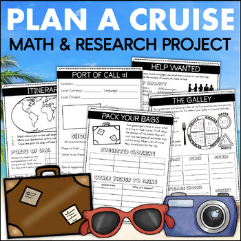
PLAN A CRUISE Vacation Country Research Project 4th Grade Addition Elapsed Time
This Plan A Cruise learning experience lets students become travel agents and design a fun-filled vacation for their classmates. They will use important skills like research, planning, time management, budgeting, and organization to create their one-of-a-kind trip. Each page in their cruise plan book requires students to use academic skills to plan their trip of a lifetime.To complete this project, students will work through the following activities:WORDS TO KNOWThis page includes important word
Grades:
3rd - 4th
Also included in: 4th Grade Math Projects The End of the Year Plan A Cruise & Plan A Party
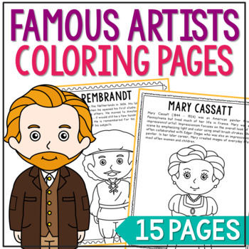
FAMOUS ARTISTS Coloring Pages | Famous Artist Worksheets | Art History Activity
Set of 14 Famous Artists with Informational Text Coloring Pages or Posters. Makes a great addition to history interactive notebooks, biography projects, or research units. Keep these in your early finisher folder for no-prep fun.CLICK HERE to save 25% on this resource in the Famous Artists Bundle!FAMOUS ARTISTS INCLUDED:Vincent Van GoghSalvador DaliRembrandtRaphael SanzioPablo PicassoMichelangeloJackson PollockHenri MatisseGeorgia O'KeeffeFrida KahloClaude MoneyAuguste RenoirAndy WarholMary Cass
Grades:
2nd - 5th
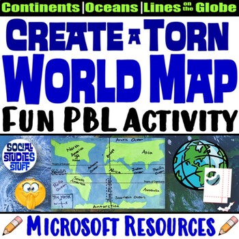
Create a Torn World Map Project | Continents Oceans Lines on a Globe | Microsoft
Students LOVE the challenge of creating a “torn” world map using only their hands, 2 sheets of paper & glue. They must tear out the shape of each continent without drawing outlines or using scissors or other tools. Then they must properly label the continents, oceans, and lines on a map. This fun & engaging exercise helps students memorize the world map by really thinking about the shape of each continents & the map’s scale; the goal is NOT to create a perfect replica. A fill-in rubr
Subjects:
Grades:
3rd - 8th
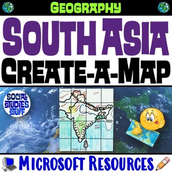
South Asia Create a Map Worksheet | Absolute & Relative Location Clues | India
End the cycle of bored students copying from a book to label maps! This Create-a-Map Worksheet takes labeling maps to the next level! Challenge your class to think critically using only absolute & relative location clues. Easy-to-follow directions make these a fun way to integrate mapping in your classroom! Everything you need is included!Includes Printable Resources: Microsoft & PDFPrintable Map Worksheet"Where is it?" Clues WorksheetAnswer KeyTeacher Reference GuideLocations Covered:In
Subjects:
Grades:
5th - 12th
CCSS:
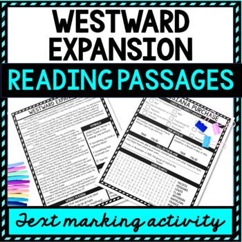
Westward Expansion Reading Passages, Questions and Text Marking + Word Search
Grab the highlighter and have some interactive fun with the Westward Expansion Reading Passages, Questions and Text Marking Activity! Ensure understanding with different types of reading comprehension questions. Topics include: Westward Expansion, Louisiana Purchase, California Gold Rush, Transcontinental RailroadWhat’s Included?✔️ 4 Non-Fiction Reading Passages with Questions ✔️ Text Marking Key✔️ Teacher Directions✔️ Student Directions✔️ Answer Keys✔️ Words to Know List✔️ Word SearchWhat types
Grades:
4th - 8th
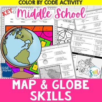
MAP SKILLS Color Activity for 6th Grade
Your students will love practicing their map skills with this engaging, no prep color by number activity! This is perfect for adding some fun to your social studies curriculum because it’s a coloring activity that's actually aligned to your curriculum. Plus, it’s so easy to use that you can even leave it for sub plans!Resource Includes: • 20 Multiple Choice Prompts3 different mapslatitude and longitude • Coloring Activity• Answer Keys✅Download the PREVIEW for more details! ✅--------------------
Subjects:
Grades:
6th
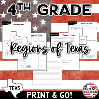
Physical Regions of Texas (Identify, Locate, Describe) | TEKS 4.6A
This no prep reading activity includes 2 graphic organizers, a vocabulary matching activity, multiple choice questions, and short answer writing prompts, as well as a mapping activity. Your students will be engaged while learning about environmental regions of Texas! If you're wanting to integrate social studies into your ELA curriculum, this is perfect because it's academically aligned for both subject areas. You can even leave it for sub plans or homework packets!TEKS standard: (6) Geography.
Subjects:
Grades:
4th
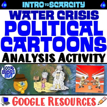
Analyze Water Scarcity with Political Cartoons Practice Activity | Google
This engaging activity challenges students to examine the global water crisis using political cartoons. Fill-in charts & leading questions help guide their analysis of the effects water scarcity has on our world. Print & interactive, digital versions of the materials are included. Made for traditional in-class learning or digital 1:1 classrooms. Everything you need is included!Includes Google Resources: Digital & PrintInteractive, Digital ActivityPrintable Student WorksheetAnswer Key
Grades:
6th - 12th
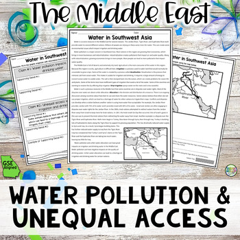
Water Pollution & Unequal Access Reading Activity Packet (SS7G6, SS7G6a) GSE
Your students will love learning about how water pollution and the unequal access to water impacts irrigation and drinking water in the Middle East with this engaging, no prep reading activity! This is perfect for adding literacy to your social studies curriculum because it’s academically-aligned for ELA and for social studies. Plus, it’s so easy to use that you can even leave it for sub plans or use for homework packets! This objective and resources aligns with Georgia Standards of Excellence,
Grades:
7th
Also included in: Geography in Southwest Asia Reading BUNDLE (SS7G5, SS7G6, SS7G7, SS7G8)
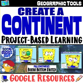
Create a Continent World Map Project | FUN Geography Skills PBL | Google
This fun “Create a Continent” project challenges your students to design physical, political & thematic maps featuring an original continent. Each project’s theme is unique & encourages creativity. Guided slides help you introduce the project & set expectations with your class. A rubric makes grading easy. The activity works great as a stand-alone project or as an assessment on map skills. Students love to show off their creativity; you love to see them applying their map skills! You
Subjects:
Grades:
4th - 9th
CCSS:
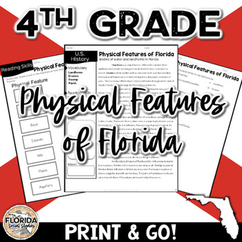
SS.4.G.1.1 Physical Features of Florida Geography 4th Grade Social Studies
This no prep reading activity includes 3 graphic organizers, a vocabulary matching activity, multiple choice questions, and short answer writing prompts. Your students will be engaged while learning about physical features of Florida, including bodies of water and locations. If you're wanting to integrate social studies into your ELA curriculum, this is perfect because it's academically aligned for both subject areas. You can even leave it for sub plans or homework packets!2023 and Beyond Social
Showing 1-24 of 3,447 results


