405 results
8th grade geography interactive whiteboards
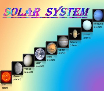
Solar System | Planets | PowerPoint | The Sun | The Moon | Distance Learning
Solar System | Space Quiz | Earth's orbit | Planet ActivitiesThe zip file contains:Solar System - Interactive slide show- inner planets: Mercury, Venus, Earth, and Mars; - outer planets: Jupiter, Saturn, Uranus, Neptune;- Earth's orbit- The Sun- The Moon - Space Quiz- AnswersThis is a beautiful and informative 30 slide PowerPoint presentation and 22 pages PDF.I've given you 4 slides to look at in the Download Preview – take a look! AstronomyPlease note that this package is also part of the bu
Subjects:
Grades:
PreK - 8th
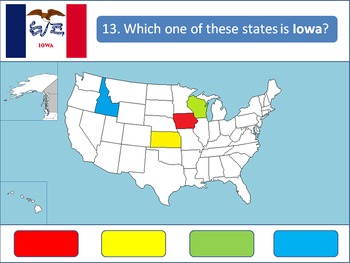
Powerpoint Game: United States Geography
A 50-question, interactive quiz to test your students' knowledge on the fifty states of the United States of America. Simply click on the corresponding color to make your guess! Each of the state's respective flags are shown for additional learning about the USA.This product is designed specifically to be engaging for your students. Your students will love the fun sound effects and the opportunity to get up and walk around in order to tap the on-screen buttons.This product is best used with a Pr
Grades:
4th - 12th, Higher Education
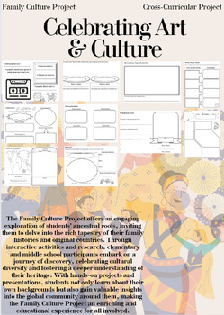
Family Culture Project: Activities, Resources, Google Slides and Lessons
The Family Culture Project offers an engaging exploration of students' ancestral roots, inviting them to delve into the rich tapestry of their family histories and original countries. Through interactive activities and research, elementary and middle school participants embark on a journey of discovery, celebrating cultural diversity and fostering a deeper understanding of their heritage. With hands-on projects and presentations, students not only learn about their own backgrounds but also gain
Subjects:
Grades:
1st - 8th
Types:
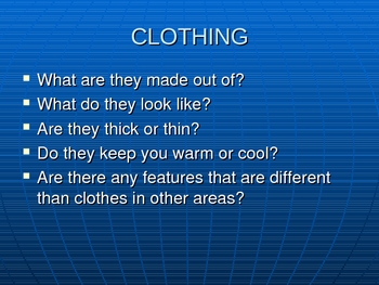
Ways People Adapt to Their Environments
Sixteen slide powerpoint detailing how people adapt to their environments. Covers homes, clothing, and transportation. Shows enviroments such as the desert, tundra, and rainforest. Colorful pictures that will engage the students.
Grades:
K - 8th
Livin’ La Vida Latina – Fun Facts about Spain Presentation in English
This 45 slide Spain Fun Facts Power Point in English is perfect for incorporating culture into your daily lessons. This best seller Spain presentation can be used as a virtual field trip, as daily warm-up activities or as a complete Spain unit. All of the Livin' La Vida Fun Facts presentations inspire students to make cultural comparisons and to think about dispelling cultural stereotypes. Use this presentation all at once to focus on Spain in a few mini lessons or for one complete Spain unit
Subjects:
Grades:
7th - 12th
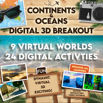
Continents and Oceans 360 VR Digital Escape Room/Breakout
Engage your students in an interactive 360° VR Digital Breakout to delve into the fascinating realms of continents and oceans without any extra work on your part! With 9 virtual worlds to navigate and 24 stimulating digital activities, students will grasp the concepts of the seven continents and five oceans in an exciting new way.⭐⭐ Don't miss out on exclusive deals! Follow me to get notified about my newest products and receive a 50% discount on all new items for 24 hours.⏩️ PLEASE TEST THE LI
Grades:
4th - 8th
Types:
Also included in: Escape Room, Breakout - All Digital Bundle 360 Virtual Reality!
Using Geocaching to Illustrate Latitude and Longitude in the Classroom
Get your students moving and actually applying latitude and longitude through geocaching. Incorporating GPS technology, computer websites, and basic geography, this lesson gets students excited about learning geography, maps, and the new game of geocaching. This lesson was used with fourth grade students but can be adapted for middle school and high school students as well. This lesson also ties in well with space history, science and satellites technology. by Susan R. Wagner
Using Geocaching t
Subjects:
Grades:
4th - 8th
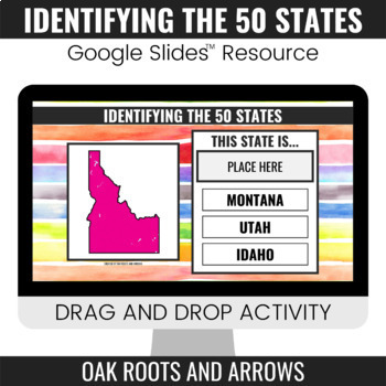
Identifying the 50 States : Google Slides™ Drag and Drop Activity
This product is a Google Slides™ resource. Students will drag and drop the correct state name to the box that says, "PLACE HERE." Each slide displays a different state and three options for students to choose from.You can assign this resource as an assignment to your students in your Google Classroom™. Students will complete the drag and drop activity and then turn it in through Google Classroom™. You will receive a ZIP file that includes a PDF file. There is a clickable link to the Google Slide
Grades:
3rd - 12th
The Age of Exploration| European Explorers Game| A Power Point Review
The Age of Exploration is an editable 102 slide presentation that covers people, places, things, and ideas related to the Age of Exploration during the 15th-17th centuries. The first section is done in a game/questioning format that encourages participation from your students. There is a 15 question map skills section at the end that reviews latitude and longitude, directions on a compass rose, using scale to estimate distance, and using a map key, or legend.You may choose to use these slides f
Grades:
5th - 8th
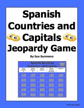
Spanish Speaking Countries and Capitals Jeopardy Game
Students practice Spanish speaking countries and capitals in a fun way! This PowerPoint Jeopardy game contains all 20 official Spanish speaking countries, plus countries and territories where Spanish is still widely spoken, or where there has been significant Spanish influence in the past. They include Puerto Rico, Andorra, Guam, Philippines, and Gibraltar. The 5 categories are North America A, North America B, South America, South America and Africa, and Potpourri. Students click a number u
Subjects:
Grades:
4th - 10th
50 States Riddles - Interactive White Board Game
This zip folder contains materials for an exciting game of answering riddles about the 50 states. The game can be played all at once, or it can be broken into chunks. It is a great beginning of the class activity for when studying the United States.
The riddles are presented in notebook files (must have notebook software.) There are two versions included for you to choose the one that works best with the brightness of your projector.
Each riddle contains three clues about a state. The clues
Subjects:
Grades:
4th - 8th
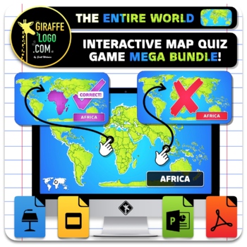
Entire World Interactive World Geography Game & Map Quiz ~ MEGA BUNDLE!
The Entire World Interactive Map Quiz Game MEGA BUNDLE is the absolute coolest way to learn Geography both in and out of the classroom! No Prep required, simple and easy to use, just open up the Interactive Map Quiz Game in one of the x4 included Formats (PowerPoint / Google Slides / Keynote / PDF) and let the learning begin! Each Map Quiz includes x846 slides for ALL x276 Countries + Regions in The Entire World! Maps are engagingly themed to spark students interest, work great for fun class wid
Grades:
4th - 10th
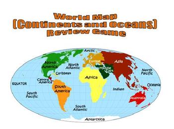
World Map (Continents and Oceans) Review Game - Promethean Flipchart
This 1-page Promethean flipchart helps students learn the location of the continents and oceans through a container game. Students can drag and drop continent and ocean names to their proper locations, with incorrect answers being "kicked" back. This flipchart can easily be used as a whole-group or small-group activity.
Subjects:
Grades:
1st - 8th

Social Studies Standards 5th grade
Great social studies standard cards for 5th grade teachers. Each card includes standard, picture, benchmark, and/or description. Won't take up too much space on your board. You can easily laminate and add a magnet to the back of them. No more staying late at school or getting there an hour early to prepare your board. Please note that these are aligned to the Florida Sunshine State Standards.
Enjoy!
Subjects:
Grades:
3rd - 8th
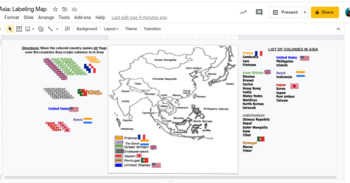
Interactive Imperialism in Asia Mapping Activity
This would work awesome on an interactive whiteboard, or has been made to adapting to this hybrid virtual teaching world. Students can label a map showing the different colonies in Asia during the Age of Imperialism 10.4.
Subjects:
Grades:
7th - 11th
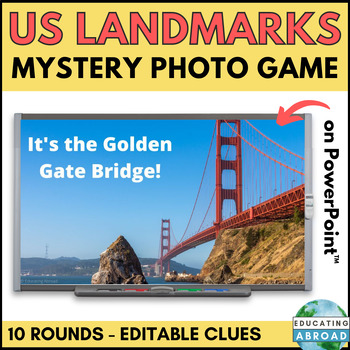
US Landmarks Game | USA History and Culture Activity | Civics and Geography
This fun and engaging game is a great way for students to learn about famous US landmarks. In each round, students are shown a portion of a photo of a landmark. They then listen to three clues and must try to identify the landmark. The game includes 10 rounds, each with a different landmark around the United States of America.This set includes 10 famous USA landmarks:Golden Gate BridgeGateway ArchStatue of LibertyCloud GateMount RushmoreLiberty BellSpace NeedleWhite HouseArlington National Cemet
Subjects:
Grades:
5th - 8th
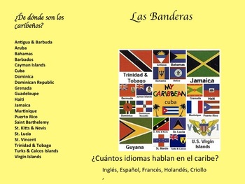
La Música Afro-Caribeña y La Historia de Su Evolución
Descripción:
En esta unidad los estudiantes van a aprender de la geografía, la historia, y la música de Cuba, La República Dominicana, y Puerto Rico. Van a escuchar ejemplos de música de los tres países para tener un mejor entendimiento de la presencia africana adentro de la cultura Caribeña. Primero tendrán una introducción a la geografía y historia del caribe. Luego, van a enterarse como la música cuenta la historia de la gente y la vida cotidiana. También buscarán como la música ayud
Subjects:
Grades:
7th - 10th
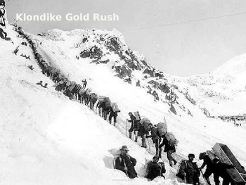
Klondike Gold Rush - Power Point - History Information Facts Pictures
Klondike Gold Rush - Power Point - History Information Facts Pictures
Great supplement to any Gold Rush lesson
12 Slides
Subjects:
Grades:
3rd - 8th
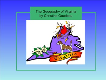
Virginia Studies SMARTboard Lesson - VA Geography - VS.2
**Updated to the NEW Virginia SOLS (2016)**
This is a 26 page instructional SMART Board lesson that covers Virginia Studies SOLs VS.2 a,b,c - the entire Virginia Geography Unit. This lesson is full of interactive activities, video clips, websites, pictures and more!
This SMARTboard usually takes me about 2 -3 weeks to teach. It is aligned perfectly to my interactive notebook on this topic that is also listed here on TPT. You can find it here: https://www.teacherspayteachers.com/Product/Virgin
Grades:
3rd - 8th
Types:
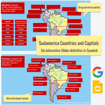
South American Countries & Capitals in SPANISH - drag-drop, labeling activities
This Spanish language Slides activity focuses on the countries and capitals in South America. The post actually contains six assignments all-in-one. Slide #1 is a drag-and-drop with countries, Slide #2 is country labeling with clickable text boxes and a word bank,Slide #3 is country labeling without the text box,Slide #4 is a drag-and-drop with capitals,Slide #5 is capital labeling with a word bank and clickable text boxes, and Slide #6 is capital labeling without a word bank. Please feel free t
Subjects:
Grades:
3rd - 12th
Types:
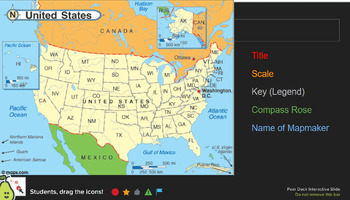
Map & Chart Analysis Skills - Pear Deck
Used as a daily warm-up activity in my class, but could be an assignment for skill based learning. This is used through Pear Deck, but most questions can be answered on paper if that is your preference.Topics Covered: Map Requirements, Longitude/Latitude, Themes of Geography, Map & Data analysis (charts and maps are through "Our World In Data")43 slides in total - 60+ questions.
Grades:
7th - 10th
Geography Warm Ups and Task Cards
Daily warm ups are a great way to get kids working the second they enter your classroom. These 50 task cards can be displayed on your smart board as daily geography practice. The task cards can also be used as a center activity for students to practice their world geography skills or can be placed around the room for students to answer in a gallery walk. You choose!
Grades:
5th - 8th
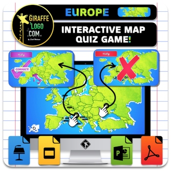
Europe Interactive World Geography Game & Map Quiz
The Europe Interactive Map Quiz Game is the absolute coolest way to learn Geography both in and out of the classroom! No Prep required, simple and easy to use, just open up the Interactive Map Quiz Game in one of the x4 included Formats (PowerPoint / Google Slides / Keynote / PDF) and let the learning begin! Each Map Quiz includes x134 slides for ALL x44 countries in Europe! Maps are engagingly themed to spark students interest, work great for fun class wide review games or individual practice o
Grades:
4th - 10th
Also included in: Entire World Interactive World Geography Game & Map Quiz ~ MEGA BUNDLE!
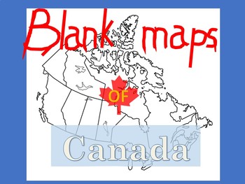
Blank Maps of Canada
PDF files in landscape and portrait.Versatile and useful in numerous waysIncludes maps with and without provinces labeledYou may also like:New French Regions maps of FranceBlank maps of Mexico
Subjects:
Grades:
3rd - 11th
Showing 1-24 of 405 results


