734 results
Not grade specific geography resources $10 and up
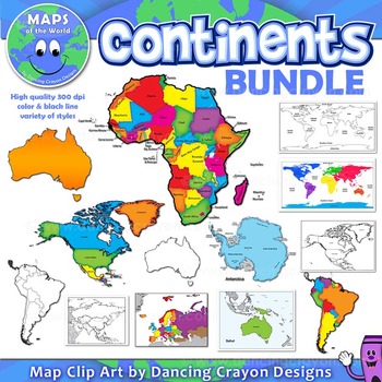
Continents Maps of the World Clipart
Continents: Maps of the Continents
SUPER-VALUE BUNDLE
This BUNDLE map set of the world continents contains the following commercial use graphics:
- Color maps of the world with continents shown
- Black and white line art maps of the world with continents shown
- Maps of the world with each continent highlighted
- Maps of the continents: North America, South America, Australia, Asia, Europe, Africa, Antarctica including maps with countries marked.
- Color and black and white maps.
- Labelled
Grades:
Not Grade Specific
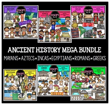
Ancient History Clip Art Mega Bundle {Educlips Clipart}
This is a complete set of 6 sets of ancient history clipart. These sets are: Mayans, Aztecs, Incas, Egyptians, Romans, Greeks.These sets are also available to purchase individually. You are receiving the images at a discount when you buy this mega bundle. Images in this bundle are:Mayans: temple, commoner house, common woman & man, wealthy lady and man, map of Maya region, pottery, priest, warrior, woman making tortillas, woman heating water & word art26 images (13 in color and the same
Grades:
Not Grade Specific
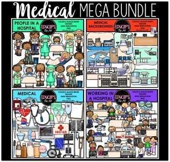
Medical Clip Art Mega Bundle {Educlips Clipart}
This is a collection of 4 sets of medical clipart. The sets in this collection are Medical Tools, Medical Backgrounds, People In A Hospital, Working In A Hospital.The images in each set are:MEDICAL BACKGROUNDSDoctor's office (consulting room), hospital room, hospital, MRI machine, nurse station, nursery, operating room, pharmacy, radiology lab, waiting room.20 images (10 in color and the same 10 in B&W)MEDICAL TOOLSblood bag, blood pressure monitor, clipboard, crutch, digital thermometer, dr
Grades:
Not Grade Specific
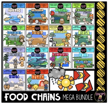
Food Chains Clip Art Mega Bundle {Educlips Clipart}
This is a collection of 14 food chains in different habitats. There is one food chain, one word art sign and one background scene for each habitat.
A sun, rain clouds and arrows are included in this bundle.
The images in each set are:
ARCTIC
Food chain: capepods, Arctic cod, ringed seal, polar bear
Word art & background scene
12 images (6 in color and the same 6 in B&W)
AUSTRLIAN WOODLAND
Food chain: plants, beetle, possum, dingo
Word art & background scene
12 images (6 in color a
Subjects:
Grades:
Not Grade Specific
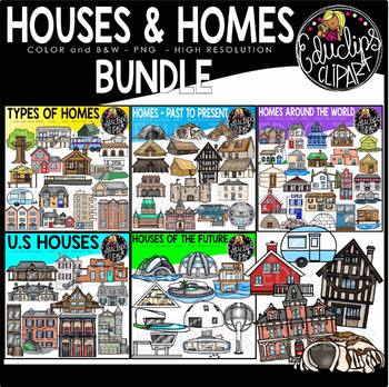
Houses & Homes Clip Art Bundle {Educlips Clipart}
This is a collection of 5 sets of house and homes clipart.The sets in this collection are:Homes Around the World, Homes-Past to Present, Homes of the Future, Types of Homes, US homes.HOMES AROUND THE WORLDThis is a a collection of different homes from around the world.Amsterdam city houseAfrican mud homeBolivian roots and dirt houseCappadocia carved caves (Turkey)Chile wooden stilts housesChinese clay, mud, straw houseNetherlands floating homeFrench houseGreek houseIcelandic houseiglooItalian ho
Grades:
Not Grade Specific
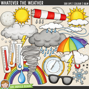
Weather Clip Art: Whatever the Weather (Kate Hadfield Designs)
Weather Symbols clip art and line art bundle!"Whatever the Weather" includes 31 weather clipart illustrations created from my original hand painted artwork! Each illustration is supplied as a full colour png, as well as black and white outline versions (in png format). All images are 300 dpi for best quality printing. Mix and match the various clouds and precipitation illustrations to create a number of different weather conditions!WHATEVER THE WEATHER includes the following illustrations:• baro
Subjects:
Grades:
Not Grade Specific
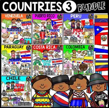
Countries 3 Clip Art Bundle {Educlips Clipart}
This is a collection of 7 sets of country clipart.The countries included in this set are:Chile, Colombia, Costa Rica, Paraguay, Peru, Puerto Rico, VenezuelaThe images in each set are:CHILEAndean Condor (national bird), Andes, Chilean kids in country clothing, flag, map outline, house on stilts, chils style empanadas, word art, bellflower, completo italiano, ensalada chilena, humboldt penguin, La Portada, Mano del Deirto, Moai statue, Palacio de la Moneda, pastel de choclo, pisco sour, banner.40
Subjects:
Grades:
Not Grade Specific
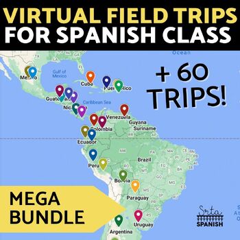
Virtual Field Trip Interactive Map Spanish Culture and Geography Activity BUNDLE
Let your students explore geography around the world! Content is discovered via interactive Google Maps through images, short readings, and videos! Time saver for you and engaging for students! Use this resource if you have devices in your classroom!Each resource includes an interactive map with short readings, and images or videos to help them explore content and geography at the same time! RESOURCES INCLUDED:❁ CountriesArgentina Digital Activities In EnglishArgentina Digital Activities in Span
Subjects:
Grades:
Not Grade Specific
Types:
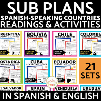
Spanish-Speaking Countries Reading Activities in Spanish and English Bundle
This HUGE Spanish-Speaking Countries Reading Activities GROWING Bundle includes 21 (!) reading infographics and comprehension activities!The resources ALL include:2 pages of infographic readings comprehension activitiesanswer keysAll in Spanish and English10 pages for each resource!Included Countries:ArgentinaBoliviaChileColombiaCosta RicaCubaEcuadorEl SalvadorEspañaGuatemalaGuinea EcuatorialHondurasMéxicoNicaraguaPanamáParaguayPerúPuerto RicoLa República DominicanaUruguayVenezuela Please note,
Subjects:
Grades:
Not Grade Specific
Types:
The 5 Regions of the United States | GAMES Bump Bundle
Want your kids to master the states, capitals, or abbreviations, but short on prep time? These differentiated games make learning the content a breeze with very little effort. Grab some paperclips and connecting cubes, press print, and you’re ready! ⭐⭐⭐⭐⭐⭐⭐⭐⭐⭐⭐⭐⭐⭐⭐⭐⭐⭐⭐⭐⭐⭐⭐⭐⭐⭐⭐⭐⭐⭐⭐⭐⭐⭐⭐⭐⭐⭐Teachers rave about these games!❤️"These are AWESOME!!! The perfect way to study states and capitals with my 4th graders. They're engaged, they love it, it's hands on, AND I can send it home as a fun study guide
Subjects:
Grades:
Not Grade Specific
Types:
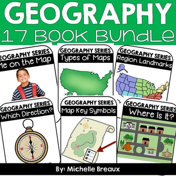
GEOGRAPHY BUNDLE-- Map Skills & Resources Adapted Books (ULS- February Unit)
* 48% SAVINGS * 15 Books & lots of extras!!Doesn’t EVERY student deserve to be engaged and participating science and literacy? Adapted books are just what you need to strengthen vocabulary and build receptive and expressive language, all while interacting in a fun and engaging way. These 15 adapted books all about maps, directions, map symbols, types of maps, landforms, and natural & manmade resources will engage ALL students while reading about geography topics at an easy to comprehend
Subjects:
Grades:
Not Grade Specific
Types:
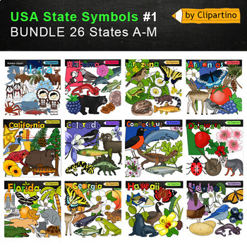
USA state symbols Clip Art BUNDLE-part #1/ Commercial use
USA state symbols clipart BUNDLE-part #1 includes 26 states A-MAlabama-Alaska-Arizona-Arkansas-California-Colorado-Connecticut-Delaware-Florida-Georgia-Hawaii-Idaho-Illinois -Indiana-Iowa-Kansas-Kentucky-Louisiana-Maine-Maryland-Massachusetts-Michigan-Minnesota-Mississippi-Missouri-Montana!!!!! USA state symbols clipart BUNDLE-part #2Size one image about 7 inch by 4 inch PNG+JPG & black-white filesFor personal and commercial use.* State flags will soon be available for free. Subscribe to not
Grades:
Not Grade Specific
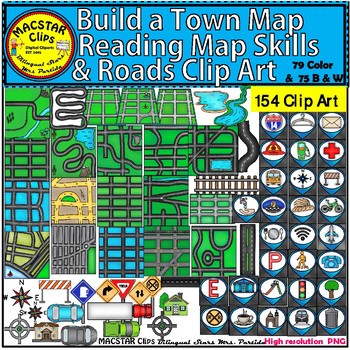
Build a Town Map - Reading Map Skills & Roads Clip Art
Build a Town Map, Reading Map Skills & Roads Clip Art "MACSTAR Clips” 154 Images in totalThis set of clip art will give you the opportunity to create coding (roboticts) games with obstacles . This set includes what you need to build, arrange, and mix and match the clip art. You will receive:79 Color Clip Art: As shown in the preview: 75 Black and White Clip ArtTerms of Use: The clip art may be used in educational commercial products. All images must be secured in a pdf file if you're using
Subjects:
Grades:
Not Grade Specific
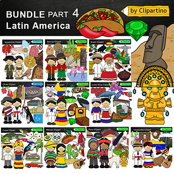
Latin America Countries Clip Art Bundle -PART 4 /Brazil /Mexico /Cuba /Argentina
Latin America Countries Clip Art Bundle - PART 4 (South America/Central America) Clipart Countries symbols : Argentina * Bolivia * Brazil * Chile * Columbia* Costa Rica * Cuba * Mexico * Peru * Venezuela clipart color + black white more than 100 filesYou'll like it!All countries of the worldSize one image about 8 inch by 4 inchFor personal and commercial use.Download the archive with the license and logo by the linkhttps://www.teacherspayteachers.com/Product/License-Credit-logo-by-Clipartino-3
Grades:
Not Grade Specific
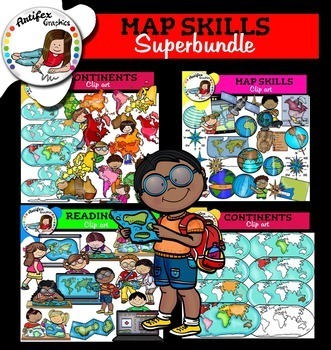
Map Skills Superbundle. 111 images!!!
This bundle includes 111 images!!!Black and white versions are included as well!↓The Following Included Sets Are Also Sold Seperately:Map Skills Superbundle includes these 3 packs:►Continents clip art.►Map Skills► Reading mapsThis clipart license allows for personal, educational, and commercial small business use. If using commercially, or in a freebie, credit to my store by a link is required and appreciated. They CANNOT be shared or distributed as .png/image files.link: http://www.teacherspayt
Subjects:
Grades:
Not Grade Specific
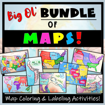
Big Bundle of Map Activities! Color & Label US, World, Conflict Maps & More!
Humans love coloring- tap into your students' interests and apply it to your Social Studies and Geography lessons! 21 different map activities are available and cross many different social studies topics- like American History or Ancient Civilizations. All maps are completely student-centered and act as a great supplement to their learning. These are great to have on hand for homework assignments, independent student work days, to enhance geographical knowledge, and to include in your emergen
Subjects:
Grades:
Not Grade Specific
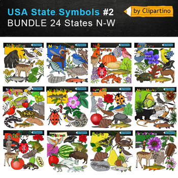
USA state symbols Clip Art BUNDLE-part #2 Commercial use
USA state symbols clipart BUNDLE-part #2 includes 24 states N-WNebraska-Nevada-New Hampshire-New Jersey-New Mexico-New York-North Carolina-North Dakota-Ohio-Oklahoma-Oregon-Pennsylvania-Rhode island -South Carolina-South Dakota-Tennessee-Texas-Utah-Vermont-Virginia-Washington-West Virginia-Wisconsin-Wyoming!!!!! USA state symbols clipart BUNDLE-part #1Size one image about 7 inch by 4 inch PNG+JPG & black-white filesFor personal and commercial use.* State flags will soon be available for free
Grades:
Not Grade Specific
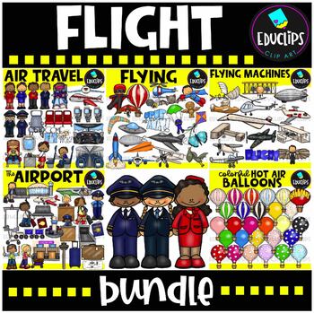
Flight Clip Art Mega Bundle {Educlips Clipart}
This is a collection of 5 sets of clip art based on flight. The sets in this collection are:Flying Machines, Colorful Hot Air Balloon, Air Travel, Airport and Flying.The images in these sets are:FLYING MACHINESDa Vinci flying machine plans, Wright brothers plane,Percy Sinclar Pilcher's Pilcher Hawk monoplane glider,Curtiss flying boat, Vickers Vimy plane (used in first transatlantic flight), Supermarine Spitfire, Hindenburg airship, early Cessna plane, Sikorsky first production helicopter, Conco
Grades:
Not Grade Specific
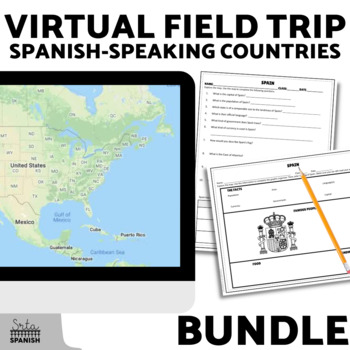
Spanish Speaking Countries Virtual Field Trip Exploratory Spanish Activities
Let your students explore history, geography, and cultural traditions around the world! Content is discovered via an interactive Google Map through images, short readings, and videos! Time saver for you and engaging for students!Students read, watch, and explore using the Google Map, then record information on the graphic organizer and answer comprehension questions. This activity is great for reinforcing geography while learning about culture! It would also be a great sub plan.Included Resource
Subjects:
Grades:
Not Grade Specific
Types:
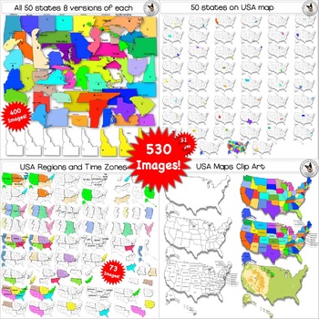
50 States, USA Maps, Regions, Timezones Clip Art ULTIMATE BUNDLE 528 images
Are you looking for clipart of USA Maps, 50 States maps, USA Regional Maps, Physical Maps and Time Zone Maps? This set has it all and is perfect for your commercial educational worksheets and classroom teaching material.This ULTIMATE BUNDLE includes 528 high-quality PNG images in color and black line.Images Included in this bundle set:❁ 50 BW blank State images.❁ 50 BW images with a star marking the Capital.❁ 50 BW images with the State name printed above.❁ 50 BW images with a star and the Capit
Grades:
Not Grade Specific
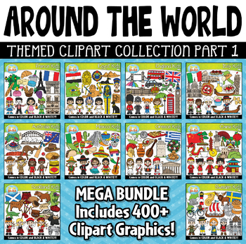
Around The World Kids Clipart Mega Bundle 1 {Zip-A-Dee-Doo-Dah Designs}
Travel around the world with this clipart bundle and explore the culture, foods, fashions, landmarks, accessories and so much more! This bundle includes 10 individual clipart sets with 400 images (Color and B&W) and will include 10 different countries around the world. Graphics will include country flag, country land shape, food, buildings / architect, accessories, etc! The images are high resolution (300 DPI) which means high quality printing. Files are provided in only PNG format. For pers
Subjects:
Grades:
Not Grade Specific
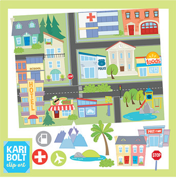
Maps and Landforms Clip Art Bundle (with Buildings)
This set combines my Buildings 2 Set, Landforms Set and Maps Set. Buildings and Landforms art has also been sized to fit onto the maps but comes in their original, large size too.BUILDINGS• Apartment • Church • Cinema • City • Gas Station • Grocery Store • Hospital • Hotel • 2 houses • Library • Park • Police Station • Post Office • Restaurant• Synagogue • School • Town Hall • Town Houses • Generic Building • Pool • Zoo• Dentist • MosqueLANDFORMS• Butte • Cave • Glacier • Hill • Island • Lake/Po
Grades:
Not Grade Specific
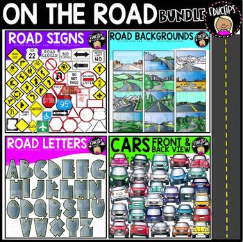
On The Road Clip Art Bundle {Educlips Clipart}
This is a collection of 4 sets of road themed clip art.The sets and images in this collection are:Cars - Front & Back ViewsThis is a set of rear and front view images of cars. All included images are shown on the product image. Black and white versions are also included.28 images (20 in color and 8 in B&W)Road BackgroundsThis is a set of road background images. Various terrains are included: desert, mountainous, snowy, hills, flat.All included images are pictured on the product cover. Bl
Subjects:
Grades:
Not Grade Specific
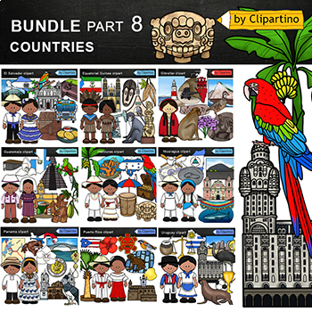
Countries Clip Art Bundle PART 8/ Uruguay/ Guatemala/ Puerto Rico/ Panama
Countries Clip Art Bundle- PART 8.Uruguay * Puerto Rico * Panama * Nicaragua * Honduras * Guatemala * Gibraltar * Equatorial Guinea * El Salvador clipart.Size one image about 8 inch by 4 inchFor personal and commercial use.You'll like it!All countries of the worldDownload the archive with the license and logo by the linkhttps://www.teacherspayteachers.com/Product/License-Credit-logo-by-Clipartino-3785741Keywords: spanish colonies, spanish colonization, clipart, sale, bundle, bw, coloring, outli
Grades:
Not Grade Specific
Showing 1-24 of 734 results


