142 results
Geography activboard activities for homeschool
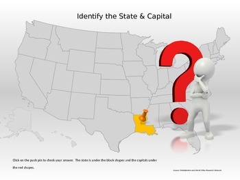
50 States & Capitals Interactive Power Point
Students can practice their 50 states and capitals, locations and abbreviations in this interactive Power Point. If the student does not know the state, they can click to reveal the abbreviation of the state for a second guess.This would be great for a whole class game, small group, or individual practice.
Grades:
4th - 7th
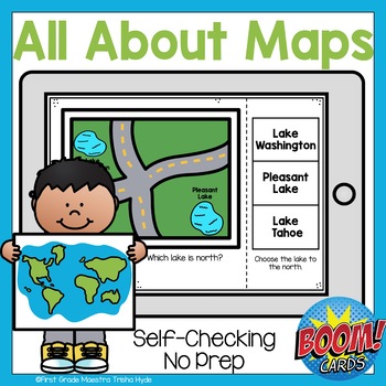
Boom Cards All About Maps
Do you want to make learning to read and use a map fun? Are you looking for purposeful, digital, NO PREP, paperless practice for reading maps? This product is for you! This Boom Cards™ deck provides students practice with identifying symbols on a map, using directions to identify location, and building a map.There are 25 cards that are not randomized. There is audio to support new readers. This game is great for fast finishers, RTI, enrichment, Digital Learning, Distance Learning and even home
Subjects:
Grades:
1st - 2nd
Types:
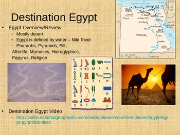
Egyptian Pyramids Powerpoint and Assignment
I created a Powerpoint for theEgyptian Pyramids. This item was originally created for a 6th grade class, but it could be used with students that range from 4th grade to 8th grade depending on academic levels. The Powerpoint includes many different pictures and videos that go along with each slide. The lesson took my students about 60 minutes to complete everything and talk about all of the slides in detail. The lesson also corresponds with the NYS standards and Common Core for grade 6 Social Stu
Grades:
4th - 8th
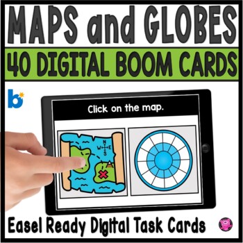
Maps and Globes Kindergarten and 1st Grade Digital Social Studies Centers
Add exciting DIGITAL activities to your map skills units with these maps and globes task cards and Boom Cards! This is a set of 40 map skills and globes task cards to give kindergarten, 1st grade, and SPED students practice with different types of maps, land, water, map symbols, globes, map keys, compass rose, buildings and more. These NO PREP map and globe digital activities will go with ANY geography/social studies units and are perfect for beginning primary grade students!You will be able to
Grades:
PreK - 1st
CCSS:
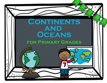
Continents and Oceans
Geography Basics - Continents and Oceans for Primary GradesThis file includes 9 PowerPoint Slides that can be used during whole group instruction or each slide can be printed off for individual practice/homework. Use the slides on an ActivBoard and create an interactive engaging experience for your students.Each slide includes a different activity to differentiate learning and give students and teachers variety. Slides include:1. Color each Continent a different color with Continent names incl
Grades:
K - 2nd
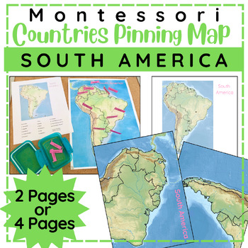
South American Countries Pinning Map
Children will enjoy pinning countries on this physical map of the continent of South America. This is a great follow up work to the Montessori Continent Puzzles and comparable to other Montessori style pin it maps. This file comes with three sizes to choose from: 1 page map, 2 page map, or 4 page map. Includes labels for pinning and control chart.Children choose a pin with country name and place it in the correct spot on the mapAfter the child has placed all the pins, they can self check with th
Subjects:
Grades:
4th - 6th
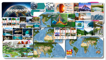
Geography: Editable PowerPoint Slides forTeaching
Geography Volcano-Mountain-pond-desert-beach-glacier-island-ocean-river-hill-valley-waterfall-lake-continent-bay-cave-coral reef-oasis-forest-cliff-mangrove-city-field-iceberg PowerPoint Slides for Teachinginformation and pictures Can play activities during class, increasing interest in learning and teaching of teachers.
Grades:
7th - 12th, Staff
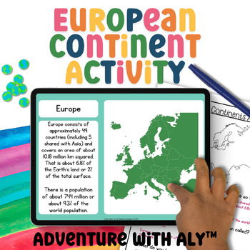
Europe Geography Activity World Geography Curriculum 3rd Grade Geography Project
This European continent activity takes students on a journey to explore the continent's places, people, and animals. Students will learn about maps, demographics, key geographical features, climate, biomes, ocean currents, and much more!What is included:45-page digital Google Slides activityScreenreader friendly versionBoth written and instant correct ‘click the right answer’ questions.4-minute mini-lesson video4-page written activityAnswer sheetWhy Choose Adventure with Aly?Aligned with Curricu
Grades:
3rd - 5th
NGSS:
3-LS2-1
, 3-LS4-3
, 3-ESS2-2
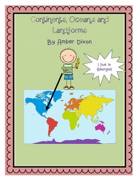
Continents, Oceans, and Landforms STEM Mini-Unit
Included in this pack are colorful slides full of pictures of the oceans, continents, and landforms discussed in first grade. World and U.S. maps help to show students the relationship between oceans and continents. There are day by day directions for teachers along with ready-made activities.
Activities include:
*cut and paste continent activity
*Label the oceans and continents activity
*Paper-mache Earth STEM activity
*Landform foldable activity
*Model Landform STEM activity
Have fun!
Subjects:
Grades:
1st - 2nd

Notre Dame Cathedral with Google Earth Tours
Tour Notre Dame de Paris Cathedral with Google Earth ToursMake a virtual field trip to Notre Dame Cathedral, one of the world’s most famous landmarks. You will be using Google Earth to watch a pre-recorded tour of the famous church located in the heart of Paris. Learn all about Notre Dame of Paris and its neighboring structures. The trip lasts for 4 minutes and 20 seconds.Making cameo appearances on the trip are the Arc de Triomphe, the Eiffel Tower and the Louvre, to name just a few.The prod
Grades:
K - 5th
Also included in: Famous European Landmarks with Google Earth Tours (Bundle)
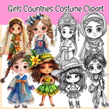
Girls Countries Costume and Flags Clipart (30 Countries )
Girls Countries Costume and Flags Clipart (30 Countries )This clipart set features cute and adorable girls wearing costumes from different countries. It comes in both color and BW versions and includes flags in color and BW. In total 120 PNG image files with transparent backgrounds.30 Countries United States (USA) Canada United Kingdom ( England) Australia FranceGermany Italy Spain Japan China India Brazil Mexico South Africa Russia16. Egypt 17. Argentina 18. Greece 19. South Korea 20. New Zeal
Grades:
PreK - 6th, Staff
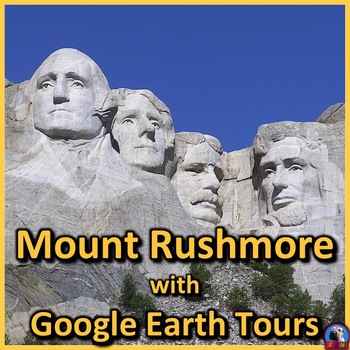
Mount Rushmore with Google Earth Tours
Tour Mount Rushmore with Google Earth ToursMake a virtual field trip to the Black Hills of South Dakota and visit Mount Rushmore. You will be using Google Earth to watch a pre-recorded tour of the world famous landmark. Learn all about the giant sculpture and its interesting history. The trip lasts for 3 minutes and 2 seconds.The product includes a document of about 30 talking points and interesting facts about the historic tourist attraction. The tour is also accompanied by a PDF file that d
Grades:
1st - 5th
Types:
Also included in: Landmarks of North America with Google Earth Tours (Bundle)
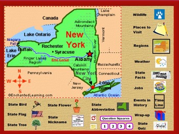
All About New York State
This is a flipchart file about the state of New York. It is intended as an introduction to the state. It contains state symbols, places of interest, fun facts, regions, history, jobs, wildlife, and more.
It includes 2 wrap up activities, quizzes, worksheets, and video clips. Teacher notes and suggested uses are also included as are some answer keys. It can be modified to suit your classroom's needs.
Grades 2-5
A FLIPCHART file is a presentation created with ActivInspire, an educational lesson
Subjects:
Grades:
2nd - 5th
Types:
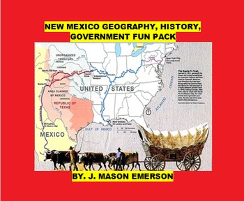
NEW MEXICO GEOGRAPHY, HISTORY, GOVERNMENT FUN PACK
THIS begins with a reading section about the state which consists of paragraphs in English followed by their Spanish translations on topics such as the state flower/mammal/song, geological features, Native Americans, Spanish Governors Oñate and Vargas, settlers, the Old Spanish Trail, Santa Fe Trail, the Manhattan Project, space business, state government branches, famous people, Cesar Chavez Day etc;
Word Search: A. Geography Of New Mexico:
Answers Key For Word Search: A. Geography Of New Mex
Subjects:
Grades:
6th - 8th

Plan a Family Vacation--$5,000 Budget
Students will have fun with this real life budgeting lesson as they plan their very own family vacation. Students must budget for the family members that live in their household, and must stay with a $5,000 limit. There is a Presentation to discuss all the rules and an excel sheet to help with their totals. As they plan their trip students can create a PowerPoint or a Google Slide that documents their itinerary. The presentation needs to include all expenses and their total cost of the trip
Subjects:
Grades:
4th - 12th
Types:
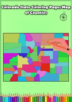
Colorado State Coloring Pages Map of Counties Highlighting Rivers Lakes Cities
Click Here>>> for more interactive resourcesColorado State Coloring Pages Map of Counties Highlighting Rivers Lakes CitiesOpen your mind to Colorado colorful adventure with these exciting coloring pages! Explore and bring each Colorado county to life with these detailed and engaging illustrations. Each page offers a unique opportunity to explore Alabama's geography, highlighting its rivers, lakes, and key towns.These coloring pages are ideal for anyone interested in discovering the beau
Grades:
PreK - 12th, Higher Education
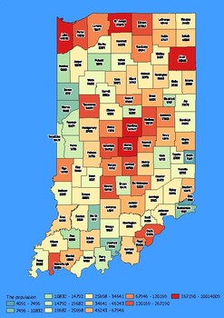
Indiana State Map with Population, Density, Area with Worksheet
Click Here>>> click here to subscribe to our storeIndiana State Map with Population, Density, Area with WorksheetDiscover the state of Indiana in an exciting and interactive way with this set of 4 detailed maps! Each map is categorized by county and provides essential information on population, density, and area, providing a comprehensive overview of the state's diversity and demographics.The population map shows the numerical distribution of residents in each county of the state, provi
Grades:
4th - 10th, Higher Education
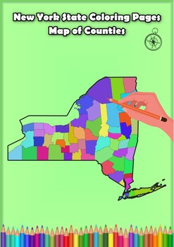
New York State Coloring Pages Map of Counties Highlighting Rivers Lakes Cities
Click Here>>> for more interactive resourcesNew York State Coloring Pages Map of Counties Highlighting Rivers Lakes CitiesOpen your mind to New York colorful adventure with these exciting coloring pages! Explore and bring each New York county to life with these detailed and engaging illustrations. Each page offers a unique opportunity to explore Alabama's geography, highlighting its rivers, lakes, and key towns.These coloring pages are ideal for anyone interested in discovering the beau
Grades:
PreK - 12th, Higher Education
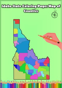
Idaho State Coloring Pages Map of Counties Highlighting Rivers Lakes Cities
Click Here>>> for more interactive resourcesIdaho State Coloring Pages Map of Counties Highlighting Rivers Lakes CitiesOpen your mind to Idaho colorful adventure with these exciting coloring pages! Explore and bring each Idaho county to life with these detailed and engaging illustrations. Each page offers a unique opportunity to explore Alabama's geography, highlighting its rivers, lakes, and key towns.These coloring pages are ideal for anyone interested in discovering the beauty and ge
Grades:
PreK - 12th, Higher Education
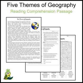
Five Themes of Geography Reading Comprehension and Word Search
Are you ready to captivate young minds and make learning a thrilling journey? This reading comprehension passage about 'Five Themes of Geography' is designed with your students in mind, ensuring a delightful and educational experience.What makes this resource a must-have for teachers and their students?* Engaging Content: This easy-to-understand passage is designed to spark curiosity and foster a love for reading.* Fun and Learning Combined: We have included as Word Search Puzzle! This versatile
Grades:
4th - 6th
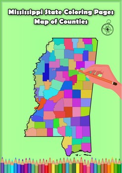
Mississippi State Coloring Pages Map of Counties Highlighting Rivers Lakes Citie
Click Here>>> for more interactive resourcesMississippi State Coloring Pages Map of Counties Highlighting Rivers Lakes CitiesOpen your mind to Mississippi colorful adventure with these exciting coloring pages! Explore and bring each Mississippi county to life with these detailed and engaging illustrations. Each page offers a unique opportunity to explore Alabama's geography, highlighting its rivers, lakes, and key towns.These coloring pages are ideal for anyone interested in discovering
Grades:
PreK - 12th, Higher Education
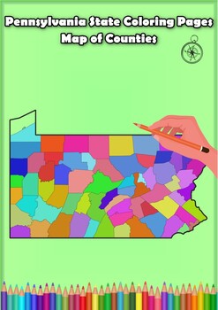
Pennsylvania State Coloring Pages Map of Counties Highlighting Rivers Lakes City
Click Here>>> for more interactive resourcesPennsylvania State Coloring Pages Map of Counties Highlighting Rivers Lakes CitiesOpen your mind to Pennsylvania colorful adventure with these exciting coloring pages! Explore and bring each Pennsylvania county to life with these detailed and engaging illustrations. Each page offers a unique opportunity to explore Alabama's geography, highlighting its rivers, lakes, and key towns.These coloring pages are ideal for anyone interested in discover
Grades:
PreK - 12th, Higher Education
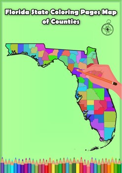
Florida State Coloring Pages Map of Counties Highlighting Rivers Lakes Cities
Click Here>>> for more interactive resourcesFlorida State Coloring Pages Map of Counties Highlighting Rivers Lakes CitiesOpen your mind to Florida colorful adventure with these exciting coloring pages! Explore and bring each Florida county to life with these detailed and engaging illustrations. Each page offers a unique opportunity to explore Alabama's geography, highlighting its rivers, lakes, and key towns.These coloring pages are ideal for anyone interested in discovering the beauty
Grades:
PreK - 12th, Higher Education
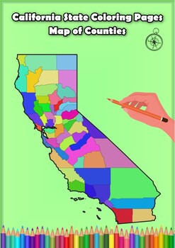
California State Coloring Pages Map of Counties Highlighting Rivers Lakes Cities
Click Here>>> for more interactive resourcesCalifornia State Coloring Pages Map of Counties Highlighting Rivers Lakes CitiesOpen your mind to California colorful adventure with these exciting coloring pages! Explore and bring each California county to life with these detailed and engaging illustrations. Each page offers a unique opportunity to explore Alabama's geography, highlighting its rivers, lakes, and key towns.These coloring pages are ideal for anyone interested in discovering th
Grades:
PreK - 12th, Higher Education
Showing 1-24 of 142 results

