29 results
Geography resources for Easel Assessments $5-10
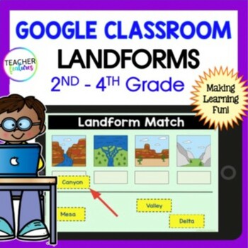
LANDFORMS & BODIES OF WATER 3rd 4th GRADE Google Slides EASEL Geography Activity
Students stay highly engaged as they learn to identify 24 landforms, bodies of water & define geography vocabulary using Google Slides. Each page includes a photo of the landform or body of water along with the title & description in simple, clear language. This resource also allows you to assess skills with a multiple-choice landform quiz. Use these Landform and Bodies of Water Google Slides to add fun to your social studies lessons now! Landforms: Archipelago, Bay, Butte, Canyon, Cav
Grades:
2nd - 4th
Types:
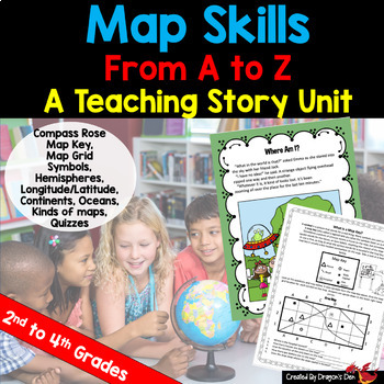
Map skills Unit Print and Digital
Energize your map unit with this high interest map and globes teaching unit for 2nd, 3rd or 4th grade students! You get everything you need for your Maps and Globes study with this fun resource, including a three page "hook" story about a lost alien.If you are a busy teacher (HA! of COURSE you are!) this unit is a real time saver!Everything you need is in one placeCovers most curriculum concepts for any state, or country's needsSpirals from beginning concepts to more complexActivities can be
Subjects:
Grades:
2nd - 4th
Types:
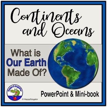
Continents and Oceans Geography Interactive PowerPoint and Mini Book with Easel
Continents and Oceans PowerPoint. Useful for studying the seven continents of the Earth and the five oceans in your geography or Social Studies classes. Includes examples of some major features of each continent of the world and some animals that are unique to each. Students will also see a visual about the equator and the hemispheres of the planet. Great supplemental activity for Earth Day, too. Has l interactive review slides and a printable for students to follow along. There are two Easel As
Subjects:
Grades:
1st - 4th
CCSS:
Also included in: Earth Day Activities Bundle
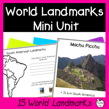
World Landmarks Lessons - 15 Famous Places Geography & Social Studies Unit
This social studies geography mini unit teaches students about 15 famous world landmarks. PDF slideshow lessons teach students the location and fun facts about each landmark. Printable student pages have students cut and paste the landmarks onto the correct location on maps and write what they learned about the landmarks. Class posters provide great visuals during your unit. A landmarks matching puzzle is great for review, a center, or for early finishers. Color and black and white versions are
Grades:
2nd - 5th
Types:
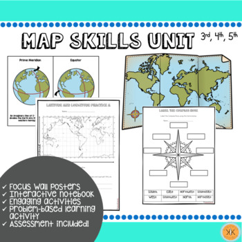
Mapping Skills Unit
Looking for an ENTIRE mapping unit! This product may be just what you need in your classroom! Recommended for grades, 3, 4, and 5 but may also be adapted for use in grade 2.This low-prep *zip file* unit has all you need to teach mapping skills to your students and includes:Day-by-day suggested objectives and activities for no-prep lesson planning!Color mapping skill posters for focus wall"Me on the Map" activity with two optionsInteractive notebook componentsDifferentiated mapping activitiesEnga
Grades:
2nd - 5th
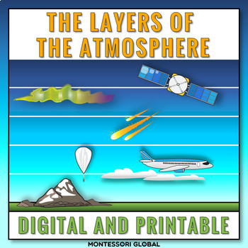
The Layers of the Earth's Atmosphere
The layers of Earth's atmosphere are introduced in printable and digital formats. The layers of Earth's atmosphere Montessori nomenclature cards include definition cards. This product includes a layer of the atmosphere online activity in Boom™ Learning and in TPT Easel. Included:1. Printable layers of Earth’s atmosphere Montessori nomenclature cards 2. Printable layers of Earth’s atmosphere definition cards3. Printable layers of Earth’s atmosphere booklet templates for students4. Self-checking l
Subjects:
Grades:
5th
Types:
NGSS:
5-ESS2-1
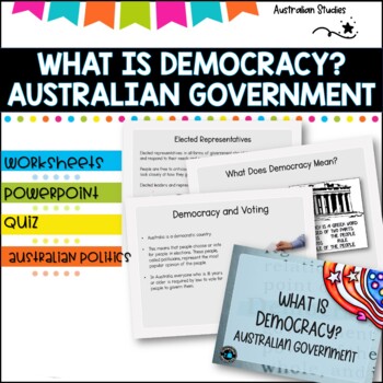
Australian Democracy and levels of government.
What is democracy?AimI can describe the main features of a democracy and discuss the rights and responsibilities of citizens in AustraliaLearning IntentionsTo learn about the different levels of government used to maked decisions and laws in AustraliaWhat is the system of Government in AUSTRALIA?Basic rightsWho rules Australia?What does democracy mean?Democracy and votingYoung people and democracyMain political partiesVotingElected representativesLevels of GovernmentLaw and orderWhat is included
Grades:
4th - 6th, Staff
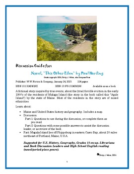
Discussion Guide for the book: "This Other Eden" by Paul Harding
Discussion Guide for: Novel, “This Other Eden” by Paul HardingGuide copyright 2024, Betty J. White, aka Compass RosePublisher: W.W. Norton & Company, January 24, 2023. 224 pages. ISBN-10 132403629X ISBN-13 978-1324036296 Available as an e-bookA fictional story inspired by true events, about the (true) forcible eviction in the early 1900’s of the residents of Malaga Island (the story in the book called this “Apple Island”) by the state of Maine. Most of the residents in the story are of mixe
Subjects:
Grades:
11th - 12th, Higher Education, Adult Education
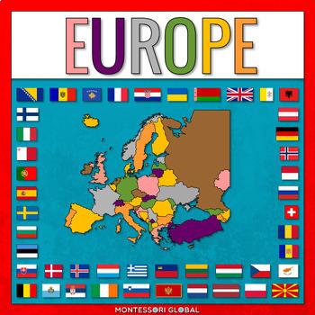
European Countries
European Countries with Capitals is a Montessori-inspired product to help learn about the countries of Europe and their capitals, as well as flags for European countries. INCLUDED:53 sets of Montessori 3 Part Cards and control cards, including the countries of Europe and their capitals as well as flags for European countries1 x Unlabelled Map of Europe in the colors of the Montessori Puzzle Maps1 x Labelled Map of Europe in the colors of the Montessori Puzzle Maps1 x World Map in the colors of
Subjects:
Grades:
2nd - 3rd
Types:
Also included in: Montessori Countries and Flags of the World
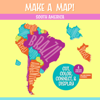
South America Geography Activity | Interactive Bulletin Board Continent Project
A South America map that you build as a giant wall map! This is a fantastic method to learn the South American countries. Both English and Spanish versions are included. When finished, you'll have a gorgeous map on display, clearly showing the South America countries. Your students can research a South American country, decorate each country, assemble the South American continent on your bulletin board or wall, and they will be all ready for a geography quiz.The finished map is HUGE: the contigu
Subjects:
Grades:
6th - 9th
CCSS:
NGSS:
MS-ESS2-3
, MS-LS2-2
, MS-ESS2-2
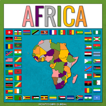
Countries of the African Continent
Countries of the African Continent is a Montessori-inspired product to help learn about the countries of Africa and their capitals, as well as flags for African countries. INCLUDED:53 sets of Montessori 3 Part Cards and control cards, including the countries of Africa and their capitals as well as flags for African countries1 x Unlabelled Map of Africa in the colors of the Montessori Puzzle Maps1 x Labelled Map of Africa in the colors of the Montessori Puzzle Maps1 x World Map in the colors of
Subjects:
Grades:
2nd - 3rd
Types:
Also included in: Montessori Countries and Flags of the World
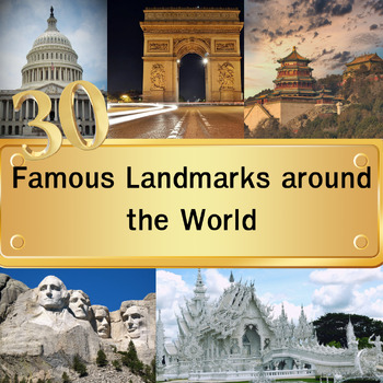
30 Famous Landmarks around the World Quiz with For grade 3-8 and homeschool
In this quiz featuring 30 famous landmarks from around the world, students will examine images of these landmarks and select their answers from a set of four multiple-choice options. Once they've made their choice and clicked "next," the correct answers will be revealed. This quiz serves as an educational tool to expand their understanding of global landmarks. It can be used effectively as either a warm-up activity at the start of the class or as a lesson review.Please note that this digital pro
Grades:
3rd - 8th
Types:
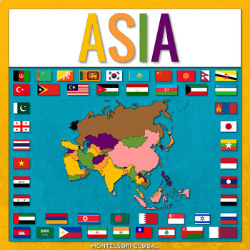
Countries of Asia
Countries of Asia is a Montessori-inspired product to help learn about the countries of Asia and their capitals, as well as flags for Asian countries. INCLUDED:53 sets of Montessori 3 Part Cards and control cards, including the countries of Asia and their capitals as well as flags for Asian countries1 x Unlabelled Map of Asia in the colors of the Montessori Puzzle Maps1 x Labelled Map of Asia in the colors of the Montessori Puzzle Maps1 x World Map in the colors of the Montessori Puzzle Maps1 x
Subjects:
Grades:
2nd - 3rd
Types:
Also included in: Montessori Countries and Flags of the World
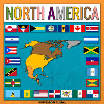
Countries of the North American Continent
Countries of the North American Continent is a Montessori-inspired product to help learn about the countries of North America and their capitals, as well as flags for North American countries. INCLUDED:53 sets of Montessori 3 Part Cards and control cards, including the countries of North America and their capitals as well as flags for North America countries1 x Unlabelled Map of North America in the colors of the Montessori Puzzle Maps1 x Labelled Map of North America in the colors of the Monte
Subjects:
Grades:
2nd - 3rd
Types:
Also included in: Montessori Countries and Flags of the World
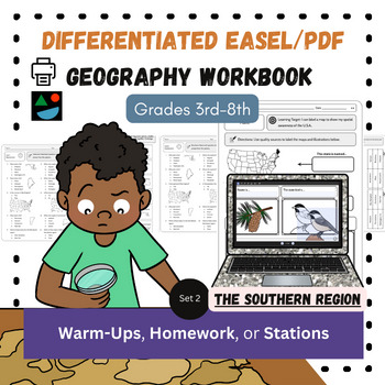
The South EASEL and PDF Differentiated US Geography Social Studies Workbook
This is my North American Geography Workbook Unit 2 of 4. Unit 2 covers The South/Southern region of the United States. These are great for Social Studies and content-based literacy in ELA. Do you need something students can do independently?Need printable AND digital options?Differentiated resources at the 3rd-8th grade level?Want a way to integrate literacy into your Social Studies classroom (or content-based writing into English class)? Look no further! You get both the digital, Easel and PDF
Subjects:
Grades:
3rd - 8th
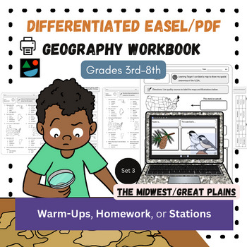
Midwest and Great Plains EASEL/PDF Differentiated US Geography Workbook
This is my North American Geography Workbook Unit 3 of 4. Unit 3 covers The Midwest and Great Plains regions of the United States. Perfect for your Social Studies or content-based ELA classroom. Do you need something students can do independently?Need printable AND digital options?Differentiated resources at the 3rd-8th grade level?Want a way to integrate literacy into your Social Studies classroom (or content-based writing into English class)? Look no further! You get both the digital, Easel an
Subjects:
Grades:
3rd - 8th
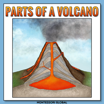
The Parts of a Volcano
The parts of a volcano are introduced in printable and digital formats. The parts of a volcano Montessori nomenclature cards include definition cards. There are two digital formats to choose from, Boom™ Cards and Easel activities. Included in this product:1. Printable parts of a volcano Montessori nomenclature cards 2. Printable parts of a volcano definition cards3. Printable parts of a volcano booklet templates for students4. Printable label the parts of a volcano diagram activities5. Label the
Subjects:
Grades:
2nd
Types:
NGSS:
2-ESS1-1
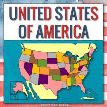
The United States of America - States and Capitals
Introduce the United States of America, their flags, and their capital cities with these printable Montessori 4 part nomenclature cards, control of error cards, PowerPoint presentation, Boom Cards™, map posters, printable, TPT Easel Assessment and a TPT Easel digital country research activity. A collection of color photographs depicting USA is also included as a wonderful addition to Montessori continent folders. INCLUDED:1. 50 x 4 Part Cards2. 50 x Control Cards3. 1 x Unlabelled Map of the USA4
Subjects:
Grades:
3rd - 5th
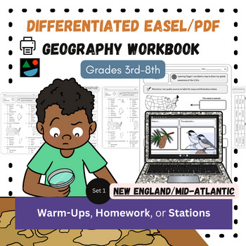
New England and Mid-Atlantic EASEL and PDF Differentiated US Geography Workbook
This is my North American Geography Workbook Unit 1 of 4. Unit 1 covers The New England and Mid-Atlantic regions of the United States. These are great for Social Studies and content-based literacy in ELA. Do you need something students can do independently?Need printable AND digital options?Differentiated resources at the 3rd-8th grade level?Want a way to integrate literacy into your Social Studies classroom (or content-based writing into English class)? Look no further! You get both the digital
Subjects:
Grades:
3rd - 8th
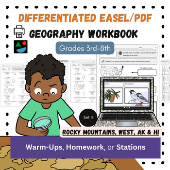
Rocky Mountains, West, AK/HI EASEL and PDF Differentiated US Geography Workbook
This is my North American Geography Workbook Unit 4 of 4. Unit 4 covers The Rocky Mountain, The West Coast, Southwest regions of the United States (plus Alaska and Hawaii). Do you need something students can do independently?Need printable AND digital options?Differentiated resources at the 3rd-8th grade level?Want a way to integrate literacy into your Social Studies classroom (or content-based writing into English class)? Look no further! You get both the digital, Easel and PDF workbook that in
Subjects:
Grades:
3rd - 8th
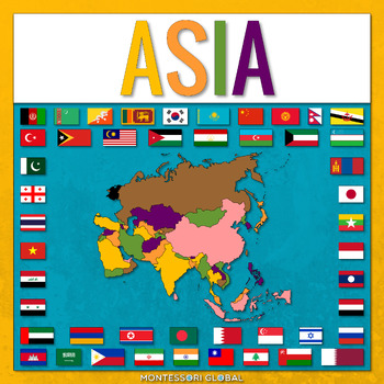
Countries of the Asian Continent
Countries of the Asian Continent is a Montessori-inspired product to help learn about the countries of Asia and their capitals, as well as flags for Asian countries. INCLUDED:46 sets of Montessori 3 Part Cards and control cards, including the countries of Asia and their capitals as well as flags for Asian countries1 x Unlabelled Map of Asia in the colors of the Montessori Puzzle Maps1 x Labelled Map of Asia in the colors of the Montessori Puzzle Maps1 x World Map in the colors of the Montessori
Subjects:
Grades:
2nd - 3rd
Also included in: Montessori Continents
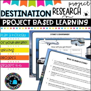
Australia Research Project- PBL SUB PACK/Individual learning
Plan your perfect holiday to Australia with this research tool This planning activity was made for use with google-earth and integrated for use with a variety of presentation tools for final display of project material. Marking rubric, planning sheets and guides included.An example of a finished project is included as a guide for your students. Based on Bloom's taxonomy, there are a variety of presentation ideas for your students to use depending on their age level and IT skills.You will receive
Grades:
4th - 6th
Also included in: Australian Geography and Celebration Days Bundle-
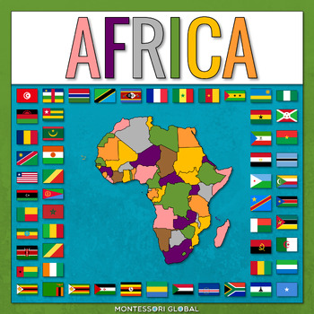
African Countries with Flags
African Countries with Flags is a Montessori-inspired product to help learn about the countries of Africa and their capitals, as well as flags for African countries. INCLUDED:53 sets of Montessori 3 Part Cards and control cards, including the countries of Africa and their capitals as well as flags for African countries1 x Unlabelled Map of Africa in the colors of the Montessori Puzzle Maps1 x Labelled Map of Africa in the colors of the Montessori Puzzle Maps1 x World Map in the colors of the Mo
Subjects:
Grades:
1st - 2nd
Also included in: Montessori Continents
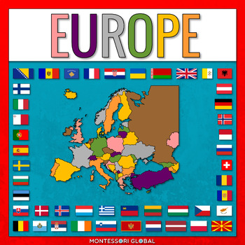
European Countries with Capitals
European Countries with Capitals is a Montessori-inspired product to help learn about the countries of Europe and their capitals, as well as flags for European countries. INCLUDED:45 sets of Montessori 3 Part Cards and control cards, including the countries of Europe and their capitals as well as flags for European countries1 x Unlabelled Map of Europe in the colors of the Montessori Puzzle Maps1 x Labelled Map of Europe in the colors of the Montessori Puzzle Maps1 x World Map in the colors of
Subjects:
Grades:
2nd - 3rd
Also included in: Montessori Continents
Showing 1-24 of 29 results


