3,004 results
Geography resources for Microsoft PowerPoint $5-10
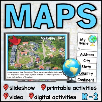
Map Skills Unit with Slideshow– Me on the Map – Maps and Globes - with Digital
This map skills unit for K-2 has all you need to teach your students about maps and globes. With an informational map skills PowerPoint slideshow (also included in video form), vocabulary resources, printable activities and books, and digital activities for Seesaw and Google Slides, this set will get your little geographers making, reading, and talking all about maps! Perfect to use alongside the read-aloud Me on the Map, this maps unit includes an easy-to-assemble “My Home” booklet with version
Subjects:
Grades:
K - 1st
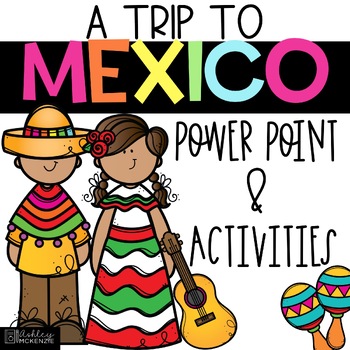
Trip to Mexico Power Point and Activities Pack | Cinco De Mayo Activities
Have a great time learning about Mexico with this fun Power Point and Activities Pack. Both PowerPoint and Google Slides versions are included. It's the perfect activity during Cinco De Mayo, the last week of school, or for some Friday fun! Your class will be introduced to the geography, language, culture, and food in Mexico. The PowerPoint is packed with colorful, real photos. And a variety of activities are included to help your students reflect on what they've learned. Be sure to read the tip
Subjects:
Grades:
K - 6th
"Trip to Hawaii" Power Point & Activities Pack!
This makes for such a fantastic end of year activity! You'll have a great time learning about Hawaii with this fun Power Point and Activities Packet with your students. Read about how I take my class on this exciting adventure below....Check out other products like this!Trip to Mexico BundleTrip to Australia BundleTrip to South AmericaFREE World Travel Student PassportIncluded in this pack... (check out the preview file for a sneak peek!)-47 slide power point on Hawaii where you learn about -
Subjects:
Grades:
K - 6th
Countries Unit Bundle, Cultures Around the World
Powerpoint lessons and projects for 5 countries around the world. Study culture and geography with these easy social studies lessons!See a short video of all the projects HERE **For personal and single classroom use only. If using with multiple classrooms, please purchase additional licenses at a reduced rate.**...........................................................................................................................*FREE Reading Skills Poster Set for newsletter subscribers SIGN
Subjects:
Grades:
1st - 4th
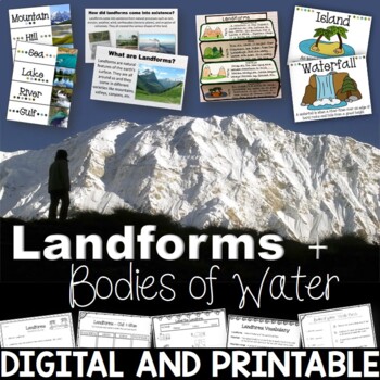
Landforms & Bodies of Water Bundle| Printables, PowerPoint, Interactive Notebook
This landforms pack will engage your students in learning about 19 different landforms / bodies of water. There are Posters, Word Wall Cards, “What am I” cards, Printables, Interactive notebook, and a 100% Editable PowerPoint. *Also includes digital access via Google Slides.Landforms included in this unit: Mountain, Hill, Valley, Plain, Island, Sand Dune, Peninsula, Canyon, Delta, Plateau, Mesa, Ocean, Sea, Lake, River, Gulf, Canal, Glacier, and WaterfallAnswer Keys are included.• PowerPoint Rev
Subjects:
Grades:
2nd - 5th
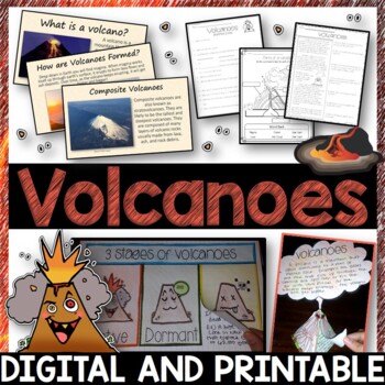
Volcanoes Complete Pack - Printables, Editable PowerPoint, Interactive Notebooks
This Volcano Unit is exploding with a variety of printables, Diagrams, Interactive notebooks, and a 100% editable PowerPoint.*Also includes digital access via Google Slides.What’s included in the pack: (Answer keys are included.) • PowerPoint Review Sheet• Volcanoes Reading Comprehension• Label the parts of a volcano • Volcano Labeled Diagram • 3 Stages of a Volcano Poster (8.5” x 11”) – Active, Dormant, and Extinct• Cinder Cone, Composite, and Shield Volcanoes Posters (1 of each)• Types of Volc
Subjects:
Grades:
3rd - 6th
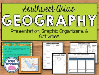
Geography of Southwest Asia (Middle East) - SS7G5
This file is a resource pack about the important political and physical features in Southwest Asia (as outlined by the Georgia Standard of Excellence– SS7G5). This lesson includes a presentation with important facts about the features and where they are located, as well as colorful images. There is also a graphic organizer for note-taking during the presentation, a quick map review game, a creative writing assignment, an Instagram-inspired activity, a map and directions for students to label cou
Grades:
7th
Also included in: Southwest Asia (Middle East) Unit BUNDLE
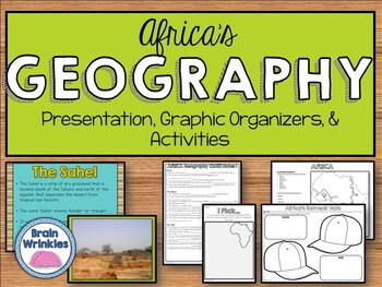
Geography of Africa (SS7G1)
This file is a resource pack about the major physical features in Africa: the Sahara, Sahel, savanna, tropical rain forest, Congo River, Niger River, Nile River, Lake Victoria, Great Rift Valley, Mt. Kilimanjaro, Atlas Mountains, and Kalahari Desert (as outlined by the Georgia Standard of Excellence – SS7G1). This lesson includes a presentation with important facts about the features and where they are located, as well as colorful images. There is also a graphic organizer for note-taking during
Grades:
7th
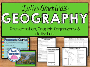
Geography of Latin America: Physical Features (SS6G1)
This file is a resource pack about the major physical features in Latin America: Amazon River, Amazon Rainforest, Caribbean Sea, Gulf of Mexico, Atlantic Ocean, Pacific Ocean, Panama Canal, Andes Mountains, Sierra Madre Mountains, and Atacama Desert (as outlined by the Georgia Standard of Excellence – SS6G1). This lesson includes a presentation with important facts about the features and where they are located, as well as colorful images. There are also several creative and interactive activitie
Subjects:
Grades:
6th
Also included in: Latin America BUNDLE
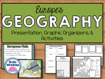
Geography of Europe: Physical Features (SS6G7a)
This file is a resource pack about the major physical features in Europe: the Danube River, Rhine River, English Channel, Mediterranean Sea, European Plain, the Alps, Pyrenees, Ural Mountains, and the Iberian Peninsula (as outlined by the Georgia Standard of Excellence – SS6G7a,b). This lesson includes a presentation with important facts about the features and where they are located, as well as colorful images. There is also a graphic organizer for note-taking during the presentation, a quick ma
Grades:
6th
Also included in: Europe Unit BUNDLE - Geography, History, Government, Economics, Etc.
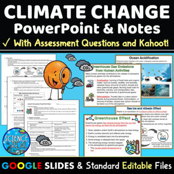
Climate Change PowerPoint with Notes, Questions, and Kahoot
⭐ ⭐ ⭐ ⭐ This Climate Change PowerPoint focuses on current greenhouse gas emissions, the greenhouse effect, global warming and climate change. This resource includes student notes, assessment questions, and custom Kahoot game! Also included are teacher notes and lesson plan. This engaging 45-slide editable Climate Change PowerPoint is accompanied by editable fill-in-the-blank-style notes, assessment questions, and a custom Kahoot! Standard printable files (MS Word and PDF) and Google Slides versi
Subjects:
Grades:
8th - 12th
NGSS:
HS-ESS3-3
, MS-ESS3-5
, HS-ESS3-1
, MS-ESS3-4
, HS-ESS3-5
...
Also included in: Climate Change Growing Discount Bundle
"Trip to South America" Power Point & Activities Pack!
Have a great time learning about South America with this fun Power Point and Activities Packet. Read about how I take my class on this exciting adventure below....✨Check out other products like this!Trip to Mexico BundleTrip to Hawaii BundleTrip to Australia BundleFREE World Travel Student PassportIncluded in this pack: -55 slide power point on South America where you learn about -the geography -the language -fun places to visit -the culture -the food -the animals14 Pages of Activiti
Subjects:
Grades:
1st - 6th
"Trip to Australia" Power Point & Activities Pack!
Have a great time learning about Australia with this fun Power Point and Activities Packet! Read about how I take my class on this exciting adventure below.Check out other resources like this!Trip To Asia BundleTrip to Mexico BundleTrip to Hawaii BundleTrip to South America BundleFREE World Travel Student Passport✨Save $$ with the Continents and Countries Bundle! Get 8 different "Trip to" resources to use throughout the year, and save 30%!Included in this pack... 50 slide PowerPoint or PDF on Au
Subjects:
Grades:
1st - 6th
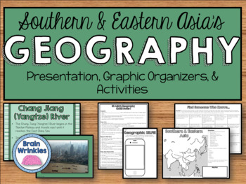
Geography of Southern & Eastern Asia (SS7G9)
This file is a resource pack about the major physical features in Southern and Eastern Asia: Ganges River, Huang He (Yellow River), Chang Jiang (Yangtze) River, Bay of Bengal, Indian Ocean, Sea of Japan, South China Sea, Yellow Sea, Gobi Desert, Taklimakan Desert, Himalayan Mountains, and Korean Peninsula (as outlined by the Georgia Standard of Excellence – SS7G9). This lesson includes a presentation with important facts about the features and where they are located, as well as colorful images.
Grades:
7th
Also included in: Southern & Eastern Asia Unit BUNDLE
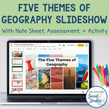
5 Themes of Geography Slideshow and Activity
Teach your students about the 5 Themes of Geography with this helpful, no-prep Google Slideshow, note sheets, assessment activity, and graphic organizers! Covering the different themes of geography with your students at the start of the year will establish a solid foundation that you can build upon throughout the school year!With this resource, you can use the 18-slide Google Slideshow (with editable text) to teach your students about the 5 Themes of Geography. This slideshow covers the definiti
Grades:
6th - 9th
Geography: Push and Pull Factors on Human Migration (Includes lesson, PP & Game)
This lesson is easy enough for 5th graders to understand yet works well with students up to grade 12. Modifications can be made as needed. Students need to understand the differences between human migration, emigration, and immigration as well as the push and pull factors that influence migration. This lesson includes:°Introduction to get students thinking°Encourages brainstorming with graphic organizers°An interactive PowerPoint addressing: migration, immigration, emigration, push and pull fact
Grades:
5th - 12th
Also included in: BUNDLE FOR ALICE
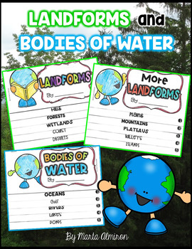
LANDFORMS and BODIES OF WATER {Flipbooks and Presentations}
This is a complete unit to cover Landforms and Bodies of Water.Includes:✔ 2 interactive flipbooks covering the following Landforms: hills, forest, wetlands, coast, deserts, plains, mountains, plateau, valley, and islands.✔ 1 interactive flipbook covering the following Bodies of Water: oceans, gulf, river, lake, and pond.✔ Instructions to assemble flipbooks.✔ Variety of worksheets that can also work as assessments.✔ Presentations with definitions and photographs of all the landforms and bodies of
Subjects:
Grades:
K - 2nd
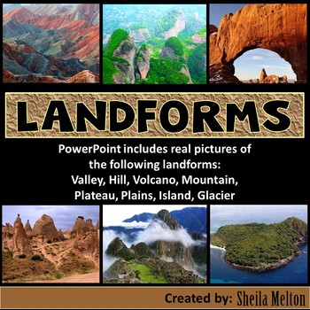
LANDFORMS PowerPoint
Bring Earth's Landforms inside your classroom with this interactive Landforms PowerPoint using all real pictures! It also includes several opportunities for students to answer questions as they learn all about landforms.Students' knowledge can also be assess using the quick quiz at the end.What other teachers have said about this product:"Wonderful, real-life pictures! Students really got an understanding of each land form!""Great resource! My kids and I loved the pictures! Very helpful!""This
Subjects:
Grades:
K - 5th
Also included in: Science PowerPoints BUNDLE (Includes *BONUS* PowerPoint!)
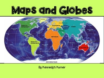
Maps and Globes Power Point
UPDATED SEPTEMBER 2020 ~ This is all you will need to teach all about Maps and Globes.This unit will cover the following topics : Words to Know What are Maps and Globes Map Key or Symbols Cardinal Directions Intermediate Directions Equator Prime Meridian Hemispheres Coordinate Map Map scales Continents and Oceans Types of Maps Quick Check Review pages Extra Maps Final QuizThere are numerous examples of maps included. Black and White copies o
Grades:
2nd - 5th
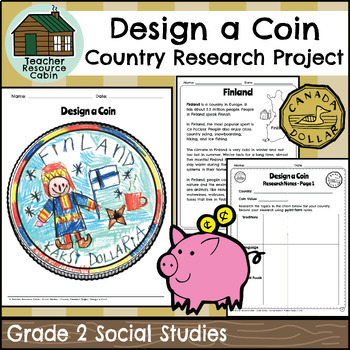
Country Research Project - Design a Coin (Grade 2 Ontario Social Studies)
This project is intended as a culminating task for Grade 2 Social Studies - Global Communities, aligned with the new 2023 Ontario Social Studies curriculum. Students will research different countries. To make the research process simple, easy-to-read country texts are included for 20 different countries: Australia, Bangladesh, Brazil, Canada, China, Egypt, Finland, Germany, India, Indonesia, Italy, Japan, Kenya, Mexico, Nigeria, Pakistan, Russia, Ukraine, The United Kingdom, and The United State
Grades:
2nd
Also included in: Grade 2 Ontario Social Studies Workbook Bundle
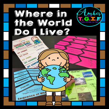
Me on the Map activities | Where Do I Live
I have always used a Me on the Map flipbook to help my students understand the concept of “Where do I live?” I felt they needed more practice to really get a great grasp of the concept of “Where in the world do I live?” so these fun centers were also created. Bonus – The “state” and “town” sections are EDITABLE to type in your own state and town names. Here is what is included:* “Where in the World Do I Live (Me on the Map) flipbook (blank versions and with clipart of planet, continent, count
Grades:
2nd - 4th
Types:
Also included in: Map Skills for 2nd, 3rd, and 4th Grades Bundle | Print and Digital
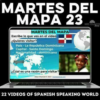
Spanish Speaking Countries Travel Videos martes del mapa 2023 bell ringers
This Editable Google slide show includes 22 weekly Spanish culture bell ringers or brain breaks in Spanish class. The goal of these Spanish class warm-ups is to expose students to geography and the diverse countries and Spanish culture of the Spanish-speaking world. These Spanish cultural video slides would be perfect for Hispanic Heritage Month / Latinx Heritage Month / el mes de la herencia hispana / mes de la hispanidad.⭐️ For the best deal get the martes del mapa bundle for all Hispanic cult
Subjects:
Grades:
9th - 11th
CCSS:
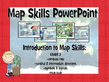
Map Skills Powerpoint
This interactive Powerpoint introduces students to basic map skills, engaging students through practicing identifying key features on different maps. The last slide includes an fill-in-the-blank informal assessment.
Learning objectives:
-use cardinal and intermediate directions to locate places on maps and globes
-identify and use the compass rose and symbols to locate places on maps and globes
Key concepts and terms taught in this Powerpoint include:
-compass rose
-cardinal directions
-in
Subjects:
Grades:
2nd - 3rd
Types:
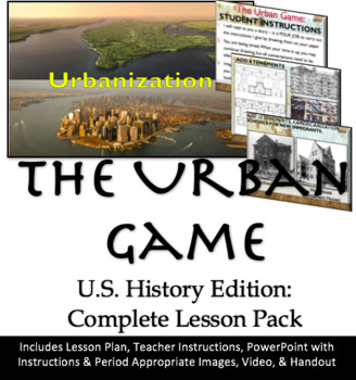
The Urban Game: US History W/ Game Instructions, Powerpoint, Reflection Handout
A student (and teacher) favorite - hands down!The teacher reads a story about a city and instructs students to draw specific items onto their construction paper. The faster the teacher goes, and the more the students have to draw, the more frantic they become! This simulation is a PERFECT one to illustrate urbanization - and it's been adapted for United States history. In fact, it is nearly historically accurate and based on the growth of Chicago.Students will draw a variety of things including
Grades:
8th - 12th
Showing 1-24 of 3,004 results


