1,438 results
Oral communication geography resources on sale
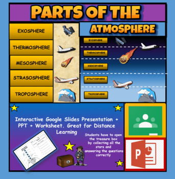
Layers Of The Atmosphere: Interactive Google Slides + PPT Version + Worksheet
Layers Of The Atmosphere: Interactive Google Slides + PPT + Worksheet (Distance Learning)Interactive presentation & quiz on Layers of the atmosphere. Please view the powerpoint previewINTERACTIVE GOOGLE SLIDES/POWER POINT PRESENTATION on layers of the atmosphere. It can be used for distance learning and google classroom or within the classroom.Once downloaded: Please view the GOOGLE SLIDES/POWERPOINT IN 'PRESENT ▶️' modeWorksheet also included in ZIP file 'Parts of the atmosphere' .These are
Subjects:
Grades:
3rd - 8th
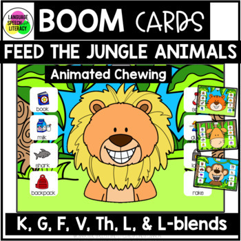
Articulation Activities, Speech Therapy Games K G F V TH L, Articulation Games
These adorable jungle animals with gif animated chewing will bring smiles your kids' faces as they practice articulation of the K, G, F, V, TH, L, and L-blends in all positions of words! Perfect for preschool - grade 3. Unique monkey, tiger, lion, and giraffe chewing sounds have been added to this resource!#marhalfoffspeechIf you use these activities with an iPad or a touch screen, you will need to tap the image first and then drag it to the animal's mouth in order to hear the chewing sound. Th
Grades:
PreK - 2nd
Also included in: Summer Articulation Activities for Speech Therapy, Boom Cards, Preschool
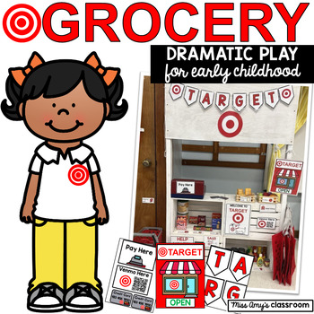
Target/Grocery Store Preschool Dramatic Play(SEL, Social Skills, Language, Math)
This Target-themed dramatic play grocery store is full of dramatic play printables that will turn your classroom into a shopping center! From open/closed signs, store hours, pretend money & credit cards, this "Target" pretend play store has everything you need! The Target/Grocery Store dramatic play center is a great way to incorporate math lessons about money in a playful way. Simply print, cut and laminate these printables and your grocery store is ready to go!⭐This dramatic play resource
Grades:
PreK - 2nd
Types:
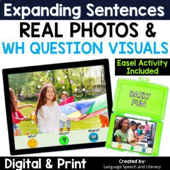
Spring Speech Therapy WH Questions Picture Scenes Activity, Writing Prompts, ELL
Digital and Printable - This engaging speech therapy activity with real photos is great for teaching pronouns, verbs, WH questions, simple sentences, and writing middle school students and students with AAC needs. Some classroom teachers find this activity helpful to use as story starters and writing prompts. Access to the Easel activity - a ready-to-use interactive version of the PDF is included in this activity with text boxes and moveable characters.If you are interested in a Boom Cards vers
Grades:
2nd - 8th
Types:
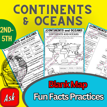
Continents And Oceans | Maps & Globes 7 Continets & Oceans | Facts Activities
Learning about continents and oceans on a map is a great way to engage students and help them remember all seven continents and major oceans in geography. This resource provides tons of practice on maps to help your kids identify the continents and oceans, as well as learn fun new information about each continent and ocean.The facts about continents and oceans are designed in different interactive formats to help your kids engage and have fun while completing them.As there are many questions reg
Subjects:
Grades:
2nd - 5th
Types:
Colonial America Activity for 13 Colonies; 13 Colonies Activities
13 Colonies {New England, Middle, Southern} Scavenger Hunt Activity: A content-rich and fun way to engage students and introduce your unit! ♥You have to see the preview! OVER 600 sold and LOVED!♥This is part of my Colonies BUNDLE {3 Activities!} Let intermediate-middle grade students get up and MOVE while you introduce them to Colonial America!! In this activity, they will complete a scavenger hunt to find important information about the 13 original colonies, the New England, Middle, and Souther
Grades:
4th - 7th
Types:
Also included in: 13 Colonies Activity BUNDLE for Colonial America
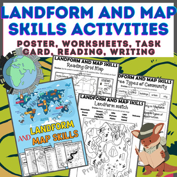
Landform & Map Skills Activity (Poster, Worksheets, Task card, Reading, Writing
Let's spice up your landform and map skills lessons and make learning super fun for your second, third, and fourth-grade students. This Landform & Map Skills Activity (Poster, Worksheets, Task card, Reading, Writing resource covers cool topics like maps, globes, continents, oceans, landforms, suburban, urban, rural areas, directions, and more!The best part? You can use these map skills and landform activities during whole group instruction, independent work, or center time. It's all about fl
Grades:
3rd - 5th
Types:
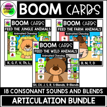
Summer Articulation Activities for Speech Therapy, Boom Cards, Preschool
These three Speech Therapy Articulation Boom Card™ resources are great back to school activities and will keep kids engaged, laughing, and learning! Perfect for preschool - grade 3. The articulation activities target CVC words, B, CH, D, F, G, J, K, L, M, N, P, R, S, SH, T, TH, V, L-blends, S-blends and R blends. They are designed for active little learners and make the REPETITION of speech sounds FUN! Included in the activities are a total of 81 task pages and 12 different animated-GIF chewi
Grades:
PreK - 2nd
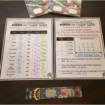
SOLAR ECLIPSE (MATH, SCIENCE, SS)
Are you looking for a fun activity way to teach about solar eclipses?! This will be perfect for you! This activity integrates Social Studies, Science, and MATH!August 2017 ECLIPSE MAGNITUDES: Across the United States- Students look at a map and determine the states of each city listed on the table.- Next, they convert each percent (magnitude) to a fraction.- Then they simplify the fractions to lowest terms.- Finally the students create a line plot using the percent data and answer questions!I al
Subjects:
Grades:
4th - 6th
Types:
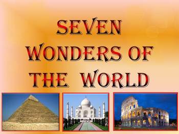
Seven Wonders of the Ancient World & New 7 Wonders Interactive
This is a beautiful and informative 23 slide PowerPoint presentation (+ 23 PDF). This is a super fun slide show. I've given you 20 files to look at in the Download Preview.The zip file contains: 1. PowerPoint presentation 2. PDF (23 pages) Seven Wonders of the Ancient World: 1.Great Pyramid of Giza 2. Hanging Gardens of Babylon 3. Temple of Artemis 4.Statue of Zeus at Olympia 5. Mausoleum at Halicarnassus 6. Colossus of Rhodes 7.Lighthouse of Alexandria New 7 Wonders of the World: 1. Gr
Subjects:
Grades:
K - 12th
Continents and Oceans Interactive PowerPoint Game Continents Social Studies
Continents and Oceans - 7 Continents & 5 Oceans - Mountains - Rivers - Interactive PowerPoint GameThis is a beautiful and informative 45 slide PowerPoint presentation. This is a super fun and interactive slide show.* Continents * Asia* Top 5 highest mountains in Asia* The Five Largest Rivers of Asia* Africa* The Top 5 Highest Mountains In Africa*The Five Largest Rivers of Africa* North America* The Top 5 Highest Mountains in North America* The Five Largest Rivers of North America * So
Subjects:
Grades:
2nd - 8th
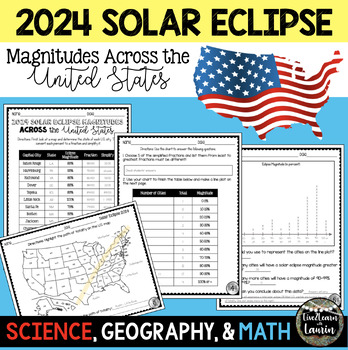
2024 SOLAR ECLIPSE MAGNITUDES ACROSS UNITED STATES - STATE CAPITALS
Are you looking for a fun activity on Solar Eclipse Day that is not busy work? This Solar Eclipse Activity integrates Science, Geography and MATH! Students handle REAL and RAW DATA about the magnitudes (for the April 8, 2024) for each state capital across the United States all while ... converting percents to fractionssimplifying fractionsordering fractionsmaking line plotsanalyzing datausing mapsreviewing state abbreviationsThis is geared towards 4th grade Math standards, but would make great p
Subjects:
Grades:
4th - 8th
Types:
Class Debating | Debate Speech Writing | Oral Presentations, Argumentative Essay
This unit will guide your students to write excellent DEBATE SPEECHES and craft ARGUMENTS that are well-researched, constructed and ready for critique during a CLASS DEBATING SESSION or an ORAL PRESENTATION.This EDITABLE UNIT will provide you with the TOOLS and STRATEGIES for running highly engaging CLASSROOM DEBATES and writing powerful ARGUMENTATIVE ESSAYS.Topics Covered in Lessons⭐ Knowing your Debating Topic⭐ The purpose and process of Research⭐ Delivering Strong Openings in a Debate⭐ T
Grades:
5th - 8th
Also included in: Persuasive Writing Bundle | Opinion | Debating | Advertising & Influence
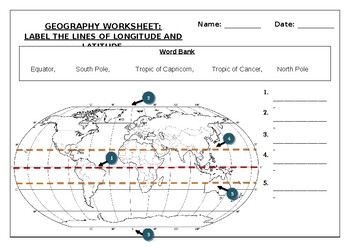
Geography worksheet: Label the lines of longitude and latitude
Geography worksheet: Label the lines of longitude and latitudeStudents have to label the lines of latitude and longitude with the correct names (Equator, South Pole, Tropic of Capricorn, Tropic of Cancer, North Pole)Worksheet aimed at primary level/ high school levelStudent can color in the world map when they are finishedAnswer key included on second page.
Subjects:
Grades:
2nd - 7th
Types:
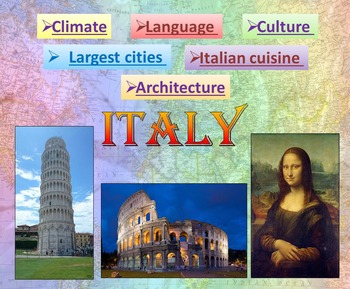
Italy | PowerPoint Presentation | Quiz distance learning (country study)
Italy PowerPoint Presentation Quiz, Art, Culture, Sights and FoodPowerpoint to introduce geographical / cultural / government information of Italy. Awesome as a visual to students.This download now comes with the slideshow in BOTH a PowerPoint and PDF version. Italy - Quiz - Climate - Culture - Language - Architecture - Largest cities - Italian cuisine - Interactive slide showThis is a beautiful and informative 54 slide PowerPoint presentation.This is a super fun slide show. I've given you 4 sli
Grades:
K - 10th
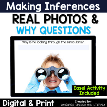
Spring Speech Therapy for Language, Making Inferences, WH Questions
The school year is extremely busy for SLPs! This digital and print why questions activity is great teaching children to respond to why questions and make inferences. Access to the Easel activity - a ready-to-use interactive version of the PDF has been added to this activity. Click HERE to SAVE 30% by buying this resource as part of my Language Activity Bundle!⭐️What's Included:17 pages of colored real photos for the digital platform (iPad, computer, whiteboard, teletherapy platform). A "why" q
Grades:
PreK - 2nd
Types:
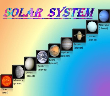
Solar System | Planets | PowerPoint | The Sun | The Moon | Distance Learning
Solar System | Space Quiz | Earth's orbit | Planet ActivitiesThe zip file contains:Solar System - Interactive slide show- inner planets: Mercury, Venus, Earth, and Mars; - outer planets: Jupiter, Saturn, Uranus, Neptune;- Earth's orbit- The Sun- The Moon - Space Quiz- AnswersThis is a beautiful and informative 30 slide PowerPoint presentation and 22 pages PDF.I've given you 4 slides to look at in the Download Preview – take a look! AstronomyPlease note that this package is also part of the bu
Subjects:
Grades:
PreK - 8th
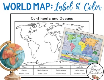
World Map: Continents and Oceans (Color and Label Blank Map)
Here is a simple blank map for students to label and color the 7 continents and 5 oceans of the world! *Idea: Have students use various shades of blues/purples for the oceans!There are 3 versions included. Please see the preview photos. Thank you!Laurin@TheRestfulHomeschool
Grades:
PreK - 6th
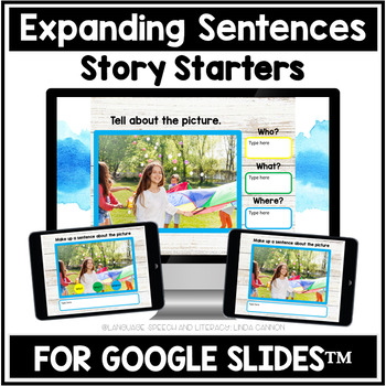
Spring Google Classroom WH Question Photo Scenes, Sentences, Writing Prompts
This NEW interactive Google Drive Activity is great for any distance learning situation and Google Classroom. This spring activity is designed for teaching pronouns, verbs, WH questions, simple sentences, and writing. Different levels of scaffolding using the questions "who?", "What?", and "where?" provide support to help students with sentence expansion. See the preview for some examples. Some classroom teachers find this activity helpful to use as story starters and writing prompts. When you
Grades:
4th - 7th
Types:
Also included in: Google Classroom Distance Learning, Expanding Sentences, Writing Prompts
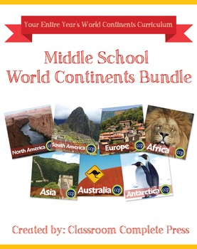
Middle School World Continents Bundle Gr. 5-8
This Middle School World Continents Bundle for grades 5-8 is your ENTIRE YEAR'S WORLD CONTINENTS CURRICULUM in one bundle. Filled with EXTENSIVE reading passages, ENGAGING activities, and FULL COLOR maps, and COMPREHENSION questions that cover your State Standards, and written to Bloom's Taxonomy. The activities in this bundle can be used for whole-group, small group, or individual work. NO PREP necessary, just print!This BUNDLE includes 420 pages and will provide you with an ENTIRE YEAR of Wor
Grades:
5th - 8th
Types:
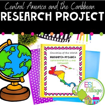
Country Research Project Central America and The Caribbean
Our engaging Country Research Project Central America and the Caribbean is perfect for a country study in the classroom. This resource includes comprehensive graphic organizers to help students structure their findings effectively. Perfect for fostering critical thinking and in-depth exploration of these vibrant regions.This project greatly facilitates differentiated instruction in the classroom by offering flexibility in assignment options. Teachers can choose to have students complete all four
Subjects:
Grades:
3rd - 9th
Also included in: Countries of the World Research Projects BUNDLE
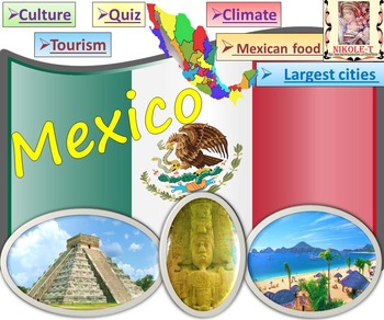
Mexico All About Mexico PowerPoint Presentation distance learning
Mexico: An Introduction to the Climate, Religion, Economy, Culture, Sport and FoodPowerPoint - Interactive slide showThe zip file contains: 2 products - PowerPoint presentation (50 slides)- PDF (50 pages )This is a beautiful and informative PowerPoint presentation.This is a super fun slide show. *Quiz*Government and politics*Administrative divisions*History*Largest cities Mexico CityGuadalajara MonterreyPuebla*Religion*Languages*Climate*Economy*Culture- UNESCO*TourismChichen ItzaTulumPalacio de
Grades:
1st - 9th
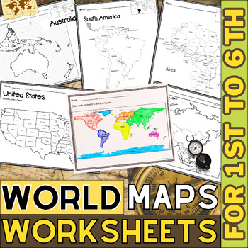
World Map with Countries | Continents and Oceans Blank Map | 1st to 12th Grade
These printable maps will be useful whether you are studying geography, world history, countries around the world, or you are just trying to show your kids the route you are taking on your next vacation! For kids learning about states, we've included a printable map of the world, as well as maps of North and South America, Europe, Asia, Australia, Africa, and Antarctica. Furthermore, the world map printable set comprises labeled and blank options for printing. To print the printable map PDF file
Grades:
K - 12th
Types:
Europe Gr. 5-8
Journey to the ancient centers of culture and trade with a trip to Europe. About this Resource: Understand the variety of ecosystems that inhabit the continent with a climate map. Gain a sense of direction by identifying the European cities that are found in the western and eastern hemispheres. Do some research into the famed Thames river and find out how long it is, which countries it passes through, and into which large body of water it flows into. Learn about the accident at Chernobyl and wha
Grades:
5th - 8th
Types:
Also included in: Middle School World Continents Bundle Gr. 5-8
Showing 1-24 of 1,438 results


