1,662 results
Presidents' Day geography resources on sale
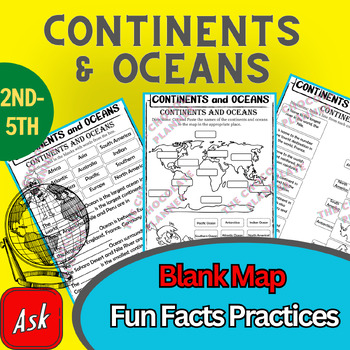
Continents And Oceans | Maps & Globes 7 Continets & Oceans | Facts Activities
Learning about continents and oceans on a map is a great way to engage students and help them remember all seven continents and major oceans in geography. This resource provides tons of practice on maps to help your kids identify the continents and oceans, as well as learn fun new information about each continent and ocean.The facts about continents and oceans are designed in different interactive formats to help your kids engage and have fun while completing them.As there are many questions reg
Subjects:
Grades:
2nd - 5th
Types:
Colonial America Activity for 13 Colonies; 13 Colonies Activities
13 Colonies {New England, Middle, Southern} Scavenger Hunt Activity: A content-rich and fun way to engage students and introduce your unit! ♥You have to see the preview! OVER 600 sold and LOVED!♥This is part of my Colonies BUNDLE {3 Activities!} Let intermediate-middle grade students get up and MOVE while you introduce them to Colonial America!! In this activity, they will complete a scavenger hunt to find important information about the 13 original colonies, the New England, Middle, and Souther
Grades:
4th - 7th
Types:
Also included in: 13 Colonies Activity BUNDLE for Colonial America
Mapping Skills with Google Earth™ Gr. 6-8
Help your middle school students move on to a more complex understanding of map reading. Our resource allows students to further develop their ability to read and understand maps. About this Resource: Practice what you've learned about coordinates by finding the matching countries on Google Earth™. Test your comprehension of a precipitation map by answering questions related to a map of North America. Explore the past with Google Earth™, and see how the population of certain places have changed
Grades:
6th - 8th
Types:
Also included in: Mapping Skills with Google Earth BIG BOOK - BUNDLE
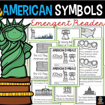
American Symbols Emergent Reader
American Symbols Emergent Read, Trace and Write
The eleven sentences are the following:
1. A symbol is something that stands for something else.
2. The U.S. flag is an American symbol.
3. Each star stands for one of the fifty states.
4. The Liberty Bell is a symbol of freedom.
5. The Statue of Liberty stands for freedom and hope.
6. The bald eagle stands for the strength and beauty of America.
7. The Washington Monument was built in honor of George Washington.
8. The four presidents carved on
Subjects:
Grades:
K - 3rd
Types:
Also included in: Emergent Readers BUNDLE
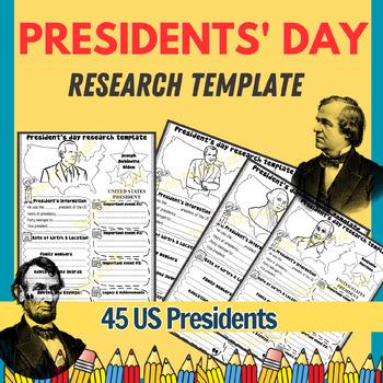
Presidents’ Day Research Template, 45 U.S Presidents, Presidents Day Activities
Are you looking for an engaging informational research packet focused on the United States Presidents? Here, you will have information on all 46 United States Presidents for your kids to conduct research. Each sheet focuses on one individual so that your kids can develop their knowledge overall about their life and work.Your students will have various options to choose from and will be engaged when they learn about the life of an important person. With the research templates covering 4 main subj
Grades:
2nd - 6th
Types:
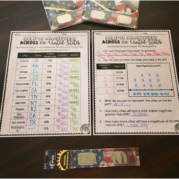
SOLAR ECLIPSE (MATH, SCIENCE, SS)
Are you looking for a fun activity way to teach about solar eclipses?! This will be perfect for you! This activity integrates Social Studies, Science, and MATH!August 2017 ECLIPSE MAGNITUDES: Across the United States- Students look at a map and determine the states of each city listed on the table.- Next, they convert each percent (magnitude) to a fraction.- Then they simplify the fractions to lowest terms.- Finally the students create a line plot using the percent data and answer questions!I al
Subjects:
Grades:
4th - 6th
Types:
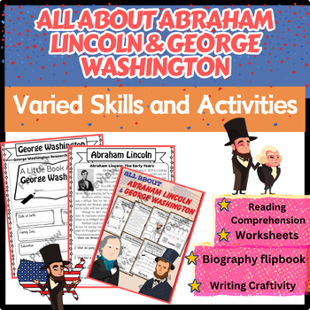
Abraham Lincoln, George Washington Biography Worksheets, Reading, Writing Craft
Are you looking for a way to make history come alive in your classroom? Abraham Lincoln, George Washington Biography Worksheets, Reading, Writing Craft is just for you. I've prepared some super cool (and hassle-free) worksheets, reading flip book craft to make this learning experience a blast!Inside this amazing pack, your students will explore the fascinating lives of Abraham Lincoln and George Washington. They won't just read about these legendary figures, but they'll also do research, write a
Grades:
1st - 3rd
Types:
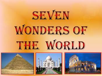
Seven Wonders of the Ancient World & New 7 Wonders Interactive
This is a beautiful and informative 23 slide PowerPoint presentation (+ 23 PDF). This is a super fun slide show. I've given you 20 files to look at in the Download Preview.The zip file contains: 1. PowerPoint presentation 2. PDF (23 pages) Seven Wonders of the Ancient World: 1.Great Pyramid of Giza 2. Hanging Gardens of Babylon 3. Temple of Artemis 4.Statue of Zeus at Olympia 5. Mausoleum at Halicarnassus 6. Colossus of Rhodes 7.Lighthouse of Alexandria New 7 Wonders of the World: 1. Gr
Subjects:
Grades:
K - 12th
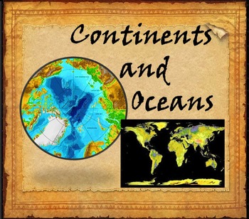
Continents and Oceans Interactive PowerPoint Game Continents Social Studies
Continents and Oceans - 7 Continents & 5 Oceans - Mountains - Rivers - Interactive PowerPoint GameThis is a beautiful and informative 45 slide PowerPoint presentation. This is a super fun and interactive slide show.* Continents * Asia* Top 5 highest mountains in Asia* The Five Largest Rivers of Asia* Africa* The Top 5 Highest Mountains In Africa*The Five Largest Rivers of Africa* North America* The Top 5 Highest Mountains in North America* The Five Largest Rivers of North America * So
Subjects:
Grades:
2nd - 8th
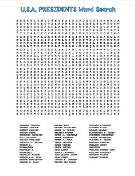
USA Presidents Word Search! U.S. History FUN!
USA Presidents Word Search! U.S. History FUN!
Your students will have fun searching for all the U.S.A. Presidents in this word search.
President List:
ABRAHAM LINCOLN
ANDREW JACKSON
ANDREW JOHNSON
BARACK OBAMA
BENJAMIN HARRISON
BILL CLINTON
CALVIN COOLIDGE
CHESTER A. ARTHUR
DWIGHT D. EISENHOWER
FRANKLIN D. ROOSEVELT
FRANKLIN PIERCE
GEORGE H.W. BUSH
GEORGE WASHINGTON
GEORGE W. BUSH
GERALD FORD
GROVER CLEVELAND
HARRY S. TRUMAN
HERBERT HOOVER
JAMES A. GARFIELD
JAMES BUCHANAN
JAMES K. POLK
JAM
Grades:
2nd - 12th
Types:
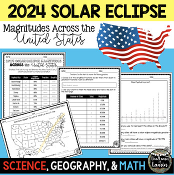
2024 SOLAR ECLIPSE MAGNITUDES ACROSS UNITED STATES - STATE CAPITALS
Are you looking for a fun activity on Solar Eclipse Day that is not busy work? This Solar Eclipse Activity integrates Science, Geography and MATH! Students handle REAL and RAW DATA about the magnitudes (for the April 8, 2024) for each state capital across the United States all while ... converting percents to fractionssimplifying fractionsordering fractionsmaking line plotsanalyzing datausing mapsreviewing state abbreviationsThis is geared towards 4th grade Math standards, but would make great p
Subjects:
Grades:
4th - 8th
Types:
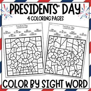
Presidents' Day Color By Sight Word Coloring Pages-George Washington Abe Lincoln
Presidents Day Color By Sight Word Coloring Pages!Covers 26 sight words in 4 Presidents' Day Coloring Pages:George WashingtonAbraham LincolnStars and StripesThe United States of AmericaSight Words covered:the, am, go, me, said, can, for, are, to, with, it, and, was, all, not, do, this, saw, in, like, he, up, see, that, my, asClick Preview to see all pages included.You may also like: Presidents Day Coloring PagesPresidents Day HatsPresidents Day Emergent Reader BookAmerican Symbols & Presiden
Subjects:
Grades:
PreK - 2nd
Types:
Also included in: Presidents Day Activities Pack! Writing, Crafts, Hats, American Symbols
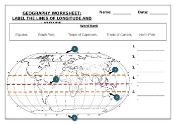
Geography worksheet: Label the lines of longitude and latitude
Geography worksheet: Label the lines of longitude and latitudeStudents have to label the lines of latitude and longitude with the correct names (Equator, South Pole, Tropic of Capricorn, Tropic of Cancer, North Pole)Worksheet aimed at primary level/ high school levelStudent can color in the world map when they are finishedAnswer key included on second page.
Subjects:
Grades:
2nd - 7th
Types:
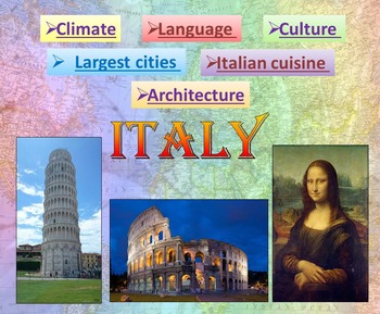
Italy | PowerPoint Presentation | Quiz distance learning (country study)
Italy PowerPoint Presentation Quiz, Art, Culture, Sights and FoodPowerpoint to introduce geographical / cultural / government information of Italy. Awesome as a visual to students.This download now comes with the slideshow in BOTH a PowerPoint and PDF version. Italy - Quiz - Climate - Culture - Language - Architecture - Largest cities - Italian cuisine - Interactive slide showThis is a beautiful and informative 54 slide PowerPoint presentation.This is a super fun slide show. I've given you 4 sli
Grades:
K - 10th
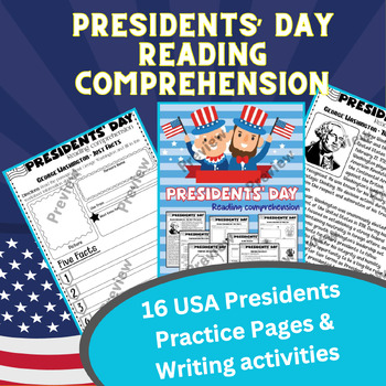
Presidents' day Reading comprehension about U.S. Presidents and Opinion Writing
Get ready to take your students on an exciting journey through American history with these amazing printable Presidents' day Reading Comprehension about U.S. Presidents and Opinion Writing ! It's time to boost their reading skills, build stamina, and dive into the lives of some of the most influential leaders that the United States has ever seen.Here's why you and your students will absolutely love this resource:⭐ Fun and Interactive Passages: These passages are designed to make reading a total
Grades:
3rd - 6th
Types:
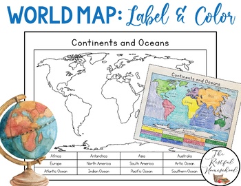
World Map: Continents and Oceans (Color and Label Blank Map)
Here is a simple blank map for students to label and color the 7 continents and 5 oceans of the world! *Idea: Have students use various shades of blues/purples for the oceans!There are 3 versions included. Please see the preview photos. Thank you!Laurin@TheRestfulHomeschool
Grades:
PreK - 6th
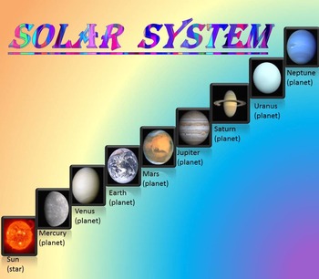
Solar System | Planets | PowerPoint | The Sun | The Moon | Distance Learning
Solar System | Space Quiz | Earth's orbit | Planet ActivitiesThe zip file contains:Solar System - Interactive slide show- inner planets: Mercury, Venus, Earth, and Mars; - outer planets: Jupiter, Saturn, Uranus, Neptune;- Earth's orbit- The Sun- The Moon - Space Quiz- AnswersThis is a beautiful and informative 30 slide PowerPoint presentation and 22 pages PDF.I've given you 4 slides to look at in the Download Preview – take a look! AstronomyPlease note that this package is also part of the bu
Subjects:
Grades:
PreK - 8th
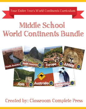
Middle School World Continents Bundle Gr. 5-8
This Middle School World Continents Bundle for grades 5-8 is your ENTIRE YEAR'S WORLD CONTINENTS CURRICULUM in one bundle. Filled with EXTENSIVE reading passages, ENGAGING activities, and FULL COLOR maps, and COMPREHENSION questions that cover your State Standards, and written to Bloom's Taxonomy. The activities in this bundle can be used for whole-group, small group, or individual work. NO PREP necessary, just print!This BUNDLE includes 420 pages and will provide you with an ENTIRE YEAR of Wor
Grades:
5th - 8th
Types:
Country Research Project Central America and The Caribbean
Our engaging Country Research Project Central America and the Caribbean is perfect for a country study in the classroom. This resource includes comprehensive graphic organizers to help students structure their findings effectively. Perfect for fostering critical thinking and in-depth exploration of these vibrant regions.This project greatly facilitates differentiated instruction in the classroom by offering flexibility in assignment options. Teachers can choose to have students complete all four
Subjects:
Grades:
3rd - 9th
Also included in: Countries of the World Research Projects BUNDLE
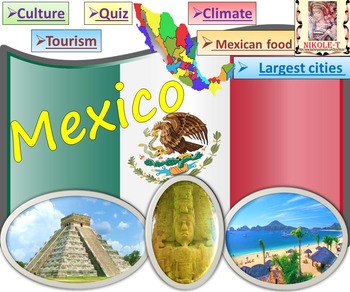
Mexico All About Mexico PowerPoint Presentation distance learning
Mexico: An Introduction to the Climate, Religion, Economy, Culture, Sport and FoodPowerPoint - Interactive slide showThe zip file contains: 2 products - PowerPoint presentation (50 slides)- PDF (50 pages )This is a beautiful and informative PowerPoint presentation.This is a super fun slide show. *Quiz*Government and politics*Administrative divisions*History*Largest cities Mexico CityGuadalajara MonterreyPuebla*Religion*Languages*Climate*Economy*Culture- UNESCO*TourismChichen ItzaTulumPalacio de
Grades:
1st - 9th
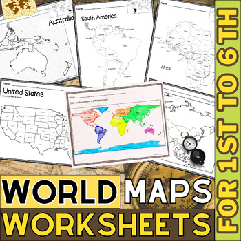
World Map with Countries | Continents and Oceans Blank Map | 1st to 12th Grade
These printable maps will be useful whether you are studying geography, world history, countries around the world, or you are just trying to show your kids the route you are taking on your next vacation! For kids learning about states, we've included a printable map of the world, as well as maps of North and South America, Europe, Asia, Australia, Africa, and Antarctica. Furthermore, the world map printable set comprises labeled and blank options for printing. To print the printable map PDF file
Grades:
K - 12th
Types:
Europe Gr. 5-8
Journey to the ancient centers of culture and trade with a trip to Europe. About this Resource: Understand the variety of ecosystems that inhabit the continent with a climate map. Gain a sense of direction by identifying the European cities that are found in the western and eastern hemispheres. Do some research into the famed Thames river and find out how long it is, which countries it passes through, and into which large body of water it flows into. Learn about the accident at Chernobyl and wha
Grades:
5th - 8th
Types:
Also included in: Middle School World Continents Bundle Gr. 5-8
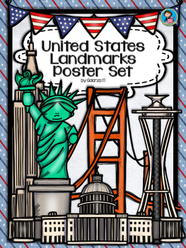
United States Landmarks Facts & Poster Set
If you are looking to improve your students skills in Geography here is the resource you need. I had so much fun researching these Landmarks and sparkle my skills also with the new facts on the most famous landmarks of the United States. Lots of information, but cool things you can use in class. Here is a set of Posters with their Fact Sheet. You can print it on card stock with double sided with the facts or separated to create your own activities for your students. The will have fun with ge
Grades:
PreK - 12th, Higher Education, Adult Education, Staff
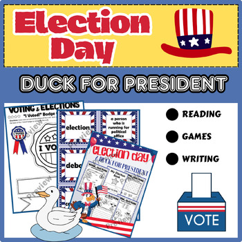
Duck for President | Election Day | Writing & Reading Activities
Energize your classroom this Election Day with an all-inclusive bundle designed to instill a passion for civic participation and literacy skills. Dive into the democratic journey with "Duck for President," an endearing tale that sparks curiosity and critical thinking among students.What's Include:The Election Book: An in-depth guide delving into the fundamentals of voting and elections, packed with interactive lessons, activities, and comprehensive information.Election Word Cards & ABC Sort:
Grades:
1st - 2nd
Types:
Showing 1-24 of 1,662 results

