1,200+ results
Geography resources for administrators on sale
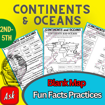
Continents And Oceans | Maps & Globes 7 Continets & Oceans | Facts Activities
Learning about continents and oceans on a map is a great way to engage students and help them remember all seven continents and major oceans in geography. This resource provides tons of practice on maps to help your kids identify the continents and oceans, as well as learn fun new information about each continent and ocean.The facts about continents and oceans are designed in different interactive formats to help your kids engage and have fun while completing them.As there are many questions reg
Subjects:
Grades:
2nd - 5th
Types:
Colonial America Activity for 13 Colonies; 13 Colonies Activities
13 Colonies {New England, Middle, Southern} Scavenger Hunt Activity: A content-rich and fun way to engage students and introduce your unit! ♥You have to see the preview! OVER 600 sold and LOVED!♥This is part of my Colonies BUNDLE {3 Activities!} Let intermediate-middle grade students get up and MOVE while you introduce them to Colonial America!! In this activity, they will complete a scavenger hunt to find important information about the 13 original colonies, the New England, Middle, and Souther
Grades:
4th - 7th
Types:
Also included in: 13 Colonies Activity BUNDLE for Colonial America
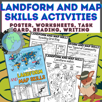
Landform & Map Skills Activity (Poster, Worksheets, Task card, Reading, Writing
Let's spice up your landform and map skills lessons and make learning super fun for your second, third, and fourth-grade students. This Landform & Map Skills Activity (Poster, Worksheets, Task card, Reading, Writing resource covers cool topics like maps, globes, continents, oceans, landforms, suburban, urban, rural areas, directions, and more!The best part? You can use these map skills and landform activities during whole group instruction, independent work, or center time. It's all about fl
Grades:
3rd - 5th
Types:
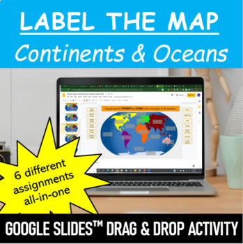
Label the Map - Continents and Oceans | Google Slides™ Drag & Drop Activity
Let your students have fun labeling Earth’s 7 continents and 5 oceans with this interactive mapping Google Slides™ Drag & Drop Activity. The digital resource comes with 6 different assignments all-in-one, as well as two different color schemes. The activity is designed for Google Classroom users, but can ALSO be downloaded, printed and used as a handout in the classroom. Pick and choose what best serves your classroom. Click HERE if you want a cut and paste version of the same activity with
Subjects:
Grades:
Not Grade Specific
Types:
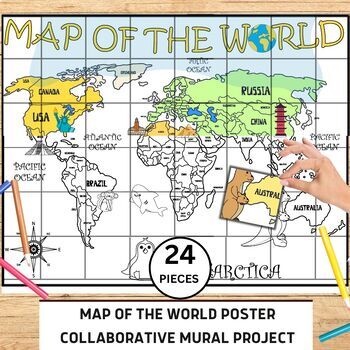
World Map Collaborative Poster Mural Project - Geography Unit , Classroom Decor
⭐️⭐️World Map Mural Collaborative Project Poster⭐️⭐️Transform your classroom with the Collaborative World Map Mural, a captivating and educational poster set. Consisting of 24 6x7 inch square pieces, students can contribute to this engaging bulletin board project. The mural promotes teamwork, critical thinking, and geographical awareness as students research and add drawings, facts, and experiences to represent different regions, countries, and landmarks. This visually stunning display fosters a
Grades:
1st - 4th
Also included in: 21 Collaboration Posters Mural Project - Classroom Decor ,Craft, BUNDLE
Map Skills - Performance Tasks
Maps performance tasks! Here are two performance tasks that I created and used with my first grade students when we completed our unit. We actually did a practice run creating a map of our classroom early in the unit so they had experience doing something very similar to this. Updated with new BW graphics and fonts. Students get to name their own farm and playground to create the maps. They really did a great job with these and most were easily able to show Proficiency. For each map, I gave t
Subjects:
Grades:
1st - 2nd
Types:
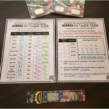
SOLAR ECLIPSE (MATH, SCIENCE, SS)
Are you looking for a fun activity way to teach about solar eclipses?! This will be perfect for you! This activity integrates Social Studies, Science, and MATH!August 2017 ECLIPSE MAGNITUDES: Across the United States- Students look at a map and determine the states of each city listed on the table.- Next, they convert each percent (magnitude) to a fraction.- Then they simplify the fractions to lowest terms.- Finally the students create a line plot using the percent data and answer questions!I al
Subjects:
Grades:
4th - 6th
Types:
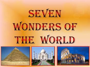
Seven Wonders of the Ancient World & New 7 Wonders Interactive
This is a beautiful and informative 23 slide PowerPoint presentation (+ 23 PDF). This is a super fun slide show. I've given you 20 files to look at in the Download Preview.The zip file contains: 1. PowerPoint presentation 2. PDF (23 pages) Seven Wonders of the Ancient World: 1.Great Pyramid of Giza 2. Hanging Gardens of Babylon 3. Temple of Artemis 4.Statue of Zeus at Olympia 5. Mausoleum at Halicarnassus 6. Colossus of Rhodes 7.Lighthouse of Alexandria New 7 Wonders of the World: 1. Gr
Subjects:
Grades:
K - 12th
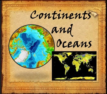
Continents and Oceans Interactive PowerPoint Game Continents Social Studies
Continents and Oceans - 7 Continents & 5 Oceans - Mountains - Rivers - Interactive PowerPoint GameThis is a beautiful and informative 45 slide PowerPoint presentation. This is a super fun and interactive slide show.* Continents * Asia* Top 5 highest mountains in Asia* The Five Largest Rivers of Asia* Africa* The Top 5 Highest Mountains In Africa*The Five Largest Rivers of Africa* North America* The Top 5 Highest Mountains in North America* The Five Largest Rivers of North America * So
Subjects:
Grades:
2nd - 8th
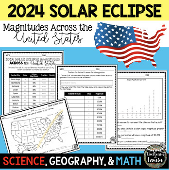
2024 SOLAR ECLIPSE MAGNITUDES ACROSS UNITED STATES - STATE CAPITALS
Are you looking for a fun activity on Solar Eclipse Day that is not busy work? This Solar Eclipse Activity integrates Science, Geography and MATH! Students handle REAL and RAW DATA about the magnitudes (for the April 8, 2024) for each state capital across the United States all while ... converting percents to fractionssimplifying fractionsordering fractionsmaking line plotsanalyzing datausing mapsreviewing state abbreviationsThis is geared towards 4th grade Math standards, but would make great p
Subjects:
Grades:
4th - 8th
Types:
7 Continents Coloring Page
Basic coloring sheet for the continents and oceans
Subjects:
Grades:
PreK - 4th
Types:
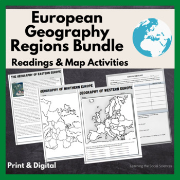
European Regional Geography Bundle Readings & Map Activities: Print & Digital
The readings explain the major geographical and cultural items of Northern, Eastern, Southern, and Western Europe.Each region comes with two map activities, one where they simply list the countries that are numbered on a map (used during distance learning) and another one where they color and label everything.The link to Google Versions is in the key section on the Microsoft Doc & PDF version.Multiple Editable Formats: I have it in multiple formats so you can utilize a version that works for
Grades:
7th - 12th
Types:
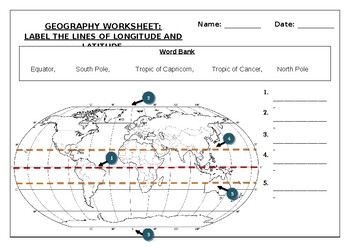
Geography worksheet: Label the lines of longitude and latitude
Geography worksheet: Label the lines of longitude and latitudeStudents have to label the lines of latitude and longitude with the correct names (Equator, South Pole, Tropic of Capricorn, Tropic of Cancer, North Pole)Worksheet aimed at primary level/ high school levelStudent can color in the world map when they are finishedAnswer key included on second page.
Subjects:
Grades:
2nd - 7th
Types:
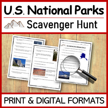
US National Parks SCAVENGER HUNT | WEBQUEST
This FUN WebQuest (Scavenger Hunt) is a great way for your students to learn more about U.S. National Parks, while enhancing their internet research skills. This resource contains 100 web questions about the names, geography, history, and other facts and figures of our great national parks.The scavenger hunt is not only google classroom friendly, but it also includes printable and editable formats (PDF and Word). Choose the format that best fits your students and their needs.An ANSWER KEY and te
Subjects:
Grades:
4th - 7th
Types:
Also included in: US National Parks BUNDLE | No Prep - Just Print and Go!
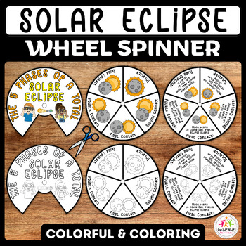
Total Solar Eclipse Craft Spinner Activity | Solar Eclipse 2024 Wheel Spinner
Engage your students with an exciting hands-on learning experience with our Total Solar Eclipse Craft Spinner Activity! Perfect for the upcoming Solar Eclipse 2024, this printable wheel offers two versions: a vibrant color template and a black and white version for coloring. Each wheel comprises two pieces, allowing children to assemble and customize their own eclipse spinner.Explore the mesmerizing journey of a solar eclipse through its five phases: First Contact, Second Contact, Totality, Thir
Subjects:
Grades:
K - 6th
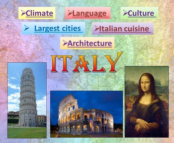
Italy | PowerPoint Presentation | Quiz distance learning (country study)
Italy PowerPoint Presentation Quiz, Art, Culture, Sights and FoodPowerpoint to introduce geographical / cultural / government information of Italy. Awesome as a visual to students.This download now comes with the slideshow in BOTH a PowerPoint and PDF version. Italy - Quiz - Climate - Culture - Language - Architecture - Largest cities - Italian cuisine - Interactive slide showThis is a beautiful and informative 54 slide PowerPoint presentation.This is a super fun slide show. I've given you 4 sli
Grades:
K - 10th
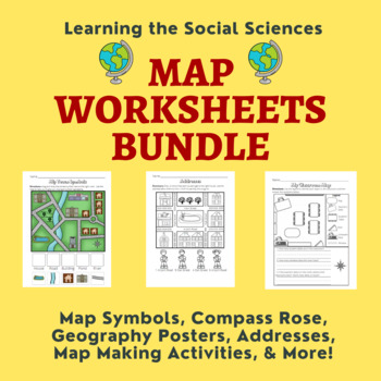
Map Skills Bundle: Symbols, Compass Rose, Globe, Maps, & More
This growing bundle (landforms still to come!!!) contains 50 worksheets, a printable book, geography posters, and a PDF book on maps! Plenty of resources to help you teach about maps!Items from the Map Worksheets Product:Map symbols cut and paste (or drag and drop)Neighborhood streets coloring & writing sheetColor items on the write streetCut and paste symbols & street namesIdentify items using street names (2 different worksheets)Draw a line to help the student get homeColor the house
Grades:
K - 1st
Types:
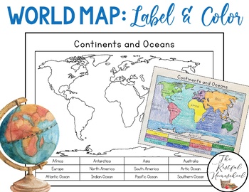
World Map: Continents and Oceans (Color and Label Blank Map)
Here is a simple blank map for students to label and color the 7 continents and 5 oceans of the world! *Idea: Have students use various shades of blues/purples for the oceans!There are 3 versions included. Please see the preview photos. Thank you!Laurin@TheRestfulHomeschool
Grades:
PreK - 6th
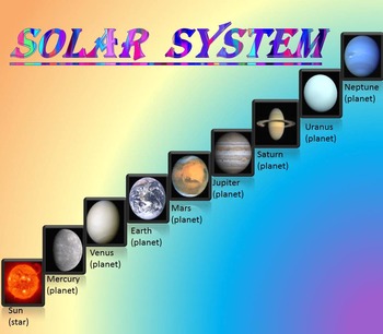
Solar System | Planets | PowerPoint | The Sun | The Moon | Distance Learning
Solar System | Space Quiz | Earth's orbit | Planet ActivitiesThe zip file contains:Solar System - Interactive slide show- inner planets: Mercury, Venus, Earth, and Mars; - outer planets: Jupiter, Saturn, Uranus, Neptune;- Earth's orbit- The Sun- The Moon - Space Quiz- AnswersThis is a beautiful and informative 30 slide PowerPoint presentation and 22 pages PDF.I've given you 4 slides to look at in the Download Preview – take a look! AstronomyPlease note that this package is also part of the bu
Subjects:
Grades:
PreK - 8th
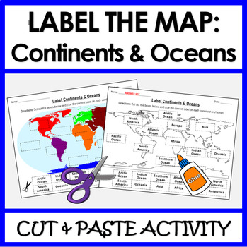
Label Continents and Oceans | Cut & Paste Sorting Activity
Let your students have fun with this cut and paste activity labelling Earth’s 7 continents and 5 oceans. This NO PREP resource provides your students with hands-on opportunity to practice labeling the continents and oceans on a world map. Three different options for a variety of practice: label the continents, label the oceans, or label BOTH the continents and oceans.Click HERE if you want a digital drag and drop version of the same activity designed for Google Slides. This product includes:Cut
Subjects:
Grades:
1st - 4th
Types:
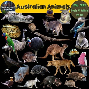
Australian Animals Clip Art Real Clips Photo & Artistic Digital Stickers
********BECOME A FOLLOWER TODAY-NEW LISTING SPECIAL-LOWEST PRICE EVER-************ Find out when new resources are available and take advantage of special sales. All new listings are 40% off of their regular price for the first 2 days only. This is a beautiful Australian animals clip art set for all of your design and classroom needs. These clips are fantastic for teachers and sellers to be used in both digital and print projects. Included in the 52 image count are 26 unique photo clip art ima
Subjects:
Grades:
Not Grade Specific
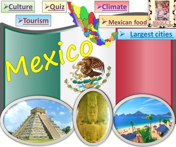
Mexico All About Mexico PowerPoint Presentation distance learning
Mexico: An Introduction to the Climate, Religion, Economy, Culture, Sport and FoodPowerPoint - Interactive slide showThe zip file contains: 2 products - PowerPoint presentation (50 slides)- PDF (50 pages )This is a beautiful and informative PowerPoint presentation.This is a super fun slide show. *Quiz*Government and politics*Administrative divisions*History*Largest cities Mexico CityGuadalajara MonterreyPuebla*Religion*Languages*Climate*Economy*Culture- UNESCO*TourismChichen ItzaTulumPalacio de
Grades:
1st - 9th
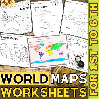
World Map with Countries | Continents and Oceans Blank Map | 1st to 12th Grade
These printable maps will be useful whether you are studying geography, world history, countries around the world, or you are just trying to show your kids the route you are taking on your next vacation! For kids learning about states, we've included a printable map of the world, as well as maps of North and South America, Europe, Asia, Australia, Africa, and Antarctica. Furthermore, the world map printable set comprises labeled and blank options for printing. To print the printable map PDF file
Grades:
K - 12th
Types:
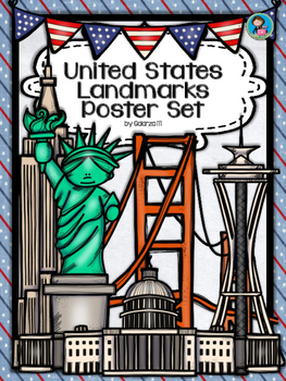
United States Landmarks Facts & Poster Set
If you are looking to improve your students skills in Geography here is the resource you need. I had so much fun researching these Landmarks and sparkle my skills also with the new facts on the most famous landmarks of the United States. Lots of information, but cool things you can use in class. Here is a set of Posters with their Fact Sheet. You can print it on card stock with double sided with the facts or separated to create your own activities for your students. The will have fun with ge
Grades:
PreK - 12th, Higher Education, Adult Education, Staff
Showing 1-24 of 1,200+ results

