126 results
Free geography resources by TpT sellers for TpT sellers
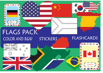
SUPER Flags pack!
In this pack, you will find resources to engage your students on the learning of the
most important countries, sorting by continents: America (EEUU, Canada, Brazil,
Mexico), Europe (UK, Spain, France, Germany, Russia), Africa (South Africa, Morocco, Egypt, Cameroon), Asia (Japan, China, India, South Korea), Oceania (New Zeland, Australia)
This pack includes:
- Flash cards
- Posters (Countries sorting by Continents; Colored and B&W)
- Stickers (flag, map and heart)
I hope that this resourc
Grades:
K - 12th, Higher Education
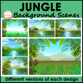
Jungle Forest Background Scenes Clipart | FREE
Are you looking for bright, unique, versatile, and high quality rainforest landscape background scenes? This set includes a variety of nature backgrounds for your PowerPoint, Boom Cards™ or Google Slides™ resources. It will save you tons of effort and time and make your resources stand out!What is included?✦A total of 6 jpeg images 1 includes tropical plants as a frame with a gradient background 1 includes tropical plants as a frame with a mountain view background 3 include river with trees (2 h
Grades:
Not Grade Specific
Also included in: Indoor and Landscape Outdoor Background Scenes Mega Bundle
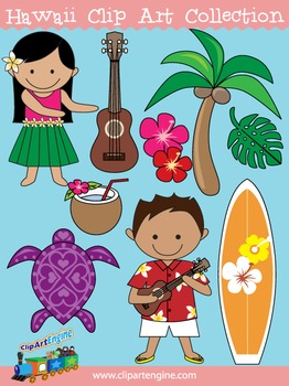
Hawaii Clip Art Collection
Our Hawaii Clip Art Collection has cute designs with a Hawaiian theme. There are 20 graphics (10 in color, 10 in black and white) in this collection. It includes a generous personal and commercial use license with no restrictions on how many times you can use the designs.The original graphics included in this collection of Hawaiian clip art are a ukulele, turtle, Hawaiian surfboard, red hibiscus flower, pink hibiscus flower, palm tree, monstera, hula girl in a hula skirt, Hawaiian boy in a Hawai
Grades:
Not Grade Specific
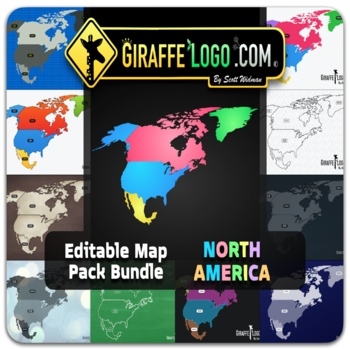
North America Fully Editable Maps for Google Slides & PowerPoint ~ FREEBIE!
NORTH AMERICA EDITABLE MAP PACK is perfect for creating fun / interactive digital or physical resources like worksheets, presentations, activities, and quizzes for students online or in the classroom! Digital World Maps come in PowerPoint, Keynote, and PDF formats and are compatible with Google Slides.NORTH AMERICA MAP PACK INCLUDES:x18 Fully Editable / High Quality HD Mapsx6 Unique Themes / Templates & x3 different map variants for each mapx4 Different Formats (PowerPoint / Keynote / PDF /
Grades:
PreK - 12th, Higher Education, Adult Education, Staff
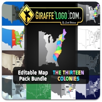
13 Colonies Fully Editable Maps for Google Slides & PowerPoint ~ FREEBIE!
13 COLONIES EDITABLE MAP PACK is perfect for creating fun / interactive digital or physical resources like worksheets, presentations, activities, and quizzes for students online or in the classroom! Digital World Maps come in PowerPoint, Keynote, and PDF formats and are compatible with Google Slides.13 COLONIES MAP PACK INCLUDES:x19 Fully Editable / High Quality HD Mapsx7 Unique Themes / Templates & x3 different map variants for each mapx4 Different Formats (PowerPoint / Keynote / PDF / PNG)
Grades:
PreK - 12th, Higher Education, Adult Education, Staff
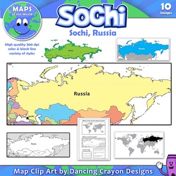
Maps of Sochi / Russia: Clip Art Map Set
Free clip art maps of Sochi and Russia.
Map Collection: Sochi, Russia
Do your students know where Sochi is?
With the 2014 Winter Olympics soon to begin, here’s an opportunity to teach your students more about the city of Sochi and its location in Russia. The set includes a bonus student worksheet.
This clipart map set contains the following commercial use graphics:
- Color maps of Russia showing the location of Sochi
- Black and white line art maps of Russia
- Map of the world with Russia
Grades:
3rd - 12th
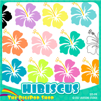
FREE hibiscus clipart// .png files - black and white included
12 Hawaiian clip art flowers in tropical colors. Package includes black & white/toner-friendly version for easy printing.
Use for Hawaii/geography lessons, class parties or Luau decorations, to decorate worksheets, or just for fun! Clip art can also be used for TpT products with credit.
You might also like Hibiscus digital paper, the matching background pattern.
YOU WILL RECEIVE:
12 .png files, transparent backgrounds
6" diameter, may be reduced to any smaller size
300 dpi for excellen
Subjects:
Grades:
Not Grade Specific
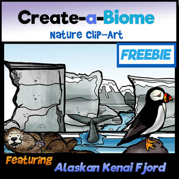
FREEBIE Create a Biome Clip-Art- Alaskan Kenai Fjords!
By teacher request! MAKE YOUR OWN SCENE! This unique clip art set features a variety of scenic elements for Science and Social Studies use! Pick and choose elements! Move from foreground to background! Use pieces separately or combine to create realistic scenes! Each biome or habitat is based on a REAL specific location featuring native plants and animals!
This set features the Alaskan Kenai Fjords habitat!
Enjoy 7 color and 7 BW clip-art pieces to compliment your TPT products or classro
Subjects:
Grades:
3rd - 6th
Also included in: Science and Math Growing BUNDLE: Lifetime License Clip-Art Collection
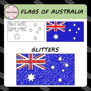
Clip Art - Flags of Australia FREEBIE
In this set, you will find 3 flags of Australia:
- a blank flag
- a colored flag
- glitter Australian flag
High quality: 300 dpi / PNG format
Related Item:
Maps of Australia
◈ ◈ ◈ ◈ ◈ ◈ ◈ ◈ ◈ ◈ ◈ ◈ ◈ ◈ ◈ ◈ ◈ ◈ ◈ ◈ ◈ ◈ ◈ ◈ ◈ ◈ ◈ ◈ ◈ ◈ ◈ ◈ ◈
USAGE ©️
This product is for your personal use and your commercial purposes.
It is to be used by the original downloader only. Copying or distributing for more than one teacher is prohibited. Please read TOU.
FOLLOW ME
Be the first to know about my new p
Grades:
Not Grade Specific
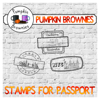
Stamps for passport
Travelling is fun ! Teaching can be too !As an ESL teacher, I travel in my class every day taking my kids to Canada, Ireland, New Zealand and other English speaking nations. These 20 stamps can be used alone or with the passport to keep track of the places, countries / cities we visit throughout the year. Everytime you "visit" a place, stamp it in your passport !You might be interested in this passport.Enjoy, xxx Follow me ☕InstagramMy Facebook Page ** Please contact me if you have any question
Subjects:
Grades:
Not Grade Specific
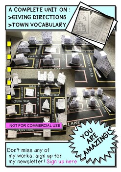
BUILD YOUR OWN IDEAL TOWN! AN ACTIVITY TO PRACTICE GIVING DIRECTIONS
A COMPLETE UNIT ON :GIVING DIRECTIONS & TOWN VOCABULARYFOR ENGLISH AND GEOGRAPHY CLASS AND FOR ESL TEACHING CLASSWhat you will have:*A full Lesson on Giving directions*15 Posters of the buildings in color*4 Poster of the vocabulary in English & Italian*1 Preposition of place poster***All the instruction and printable material to build your own town:**Shops and buildings labels**Shops and buildings in B&W**Shops and buildings in color**4 Labels for your town**The bases to keep your bu
Subjects:
Grades:
PreK - 12th, Higher Education, Adult Education
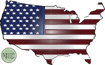
USA Map with Flag Clip Art {Messare Clips and Design}
Check out the complimenting sets at the MCD TpT Store. This freebie has 3 maps with American flag pattern. All maps can be scaled to 20 x 30 inches and retain their quality. Enjoy!
Possible project and activity uses:
Veterans Day, Flag Day, Presidents Day, Memorial Day, 4th of July or just to add some patriotic flare to your classrooms!
Click to see the set of World Maps with Longitude and Latitude Overlays {Messare Clips and Design}
Click to see the set of USA and North America Maps {Mess
Grades:
Not Grade Specific
Google Classroom Bitmoji Banners (SUBJECT SPECIFIC)
Making your ONLINE Google Classroom platform snazzier and easier for you this year! Check out the PRE-CREATED Google Classroom Banners in this Subject Specific edition product.7 Subject Specific Classrooms including:Drama Stage, Art Room, Science Lab, Fitness Studio, Geography Room, Math Room AND another Kitchen Classroom (Check out my Back to School Edition for more kitchen options)Feel free to share with colleagues that teach different subjects, I just ask you please rate and review my product
Subjects:
Grades:
7th - 12th
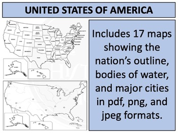
United States : Free Map Resources Clipart
Please enjoy these free map resources for the United States. Maps in the collection include basic outlines, rivers, state boundaries, and cities.These maps are also available as part of a larger bundle featuring maps of every sovereign nation on the planet - 194 in total - available at the link below.World Maps : Complete Bundle
Grades:
Not Grade Specific
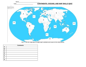
Continents and Oceans Quiz
Includes a visual map; students are required to identify continents, oceans, cardinal directions, and intermediate directions
Subjects:
Grades:
2nd - 4th
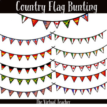
Country Flags - Bunting - Clipart - Personal and Commercial Use!
**What's Included?**- Spain flag bunting- France flag bunting- USA flag bunting- Germany flag bunting- Britain flag bunting- Jamaica flag bunting- China flag bunting- Italy flag bunting- Canada flag bunting- Ireland flag bunting- mixed flags bunting- fully transparent backgrounds-PNG format***if you purchase this product and there is a specific flag bunting you would like that I have not included please get in touch. I am happy to add it.**Terms of Use**- personal or commercial use- please incor
Subjects:
Grades:
Not Grade Specific
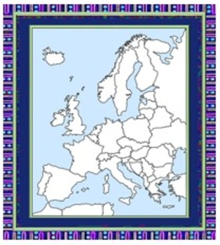
Europe Maps Free for Commercial Use
All of these maps are in Public Domain. I have enhanced some of them. They are resizable. Hope they are helpful.
Enjoy,
Anne Weaver
Subjects:
Grades:
2nd - 12th
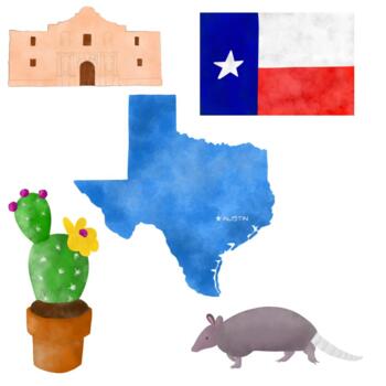
Texas Clip Art Set, Alamo, Armadillo, Prickly Pear, Flag Clipart
This Clipart set is based on the state of Texas. This five piece set includes a prickly pear cactus, armadillo, the Alamo, state flag and a state image with the capital marked. You may use this set for personal or commercial use. The images may be used in digital resources where students can move them. Credit is not required but is always appreciated.
Grades:
Not Grade Specific
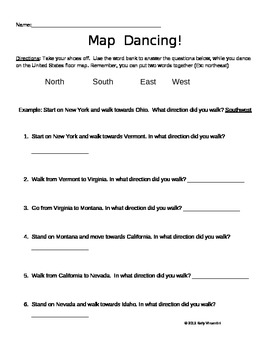
Map Dancing- Cardinal Directions
If you have a United States floor map or floor puzzle, then you need to try this kinesthetic, fun, and engaging activity. Students practice their cardinal directions as a learning center or small group activity, using this recording sheet and a floor map.
Subjects:
Grades:
1st - 4th
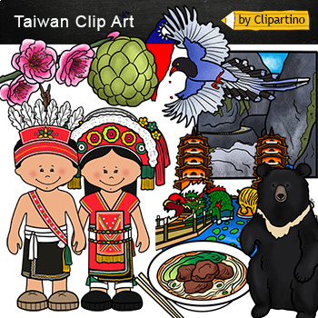
Free Taiwan Clip Art- country clip art freebie
Free Taiwan Clipart- country clip art freebieSize one image about 8 inch by 4 inchFor personal and commercial use. Download the archive with the license and logo by the linkhttps://www.teacherspayteachers.com/Product/License-Credit-logo-by-Clipartino-3785741 .Save money!!!Countries Clip art Bundle - PART 1England, France, Germany, Sweden, Switzerland, Italy, Czech Republic, Netherlands, Greece, Spain colorAsia #1 Countries Clip art Bundle- PART 2China, Japan, Indonesia, Inia, Mongolia, Philippin
Grades:
Not Grade Specific
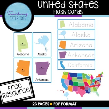
***FREEBIE*** United States Flash Cards
United States Flash Cards50 United States Flash Cards, plus 50 Tracing CardsPrint each page on standard letter size paper (8.5"x11"). Best if printed on heavy cardstock and laminated.Looking for more resources?November Counting Clipart BundleCVC Clipart Short ACVC Clipart BundleA-Z Tracing WorkbookFollow me social media!TeachingTaterTots Instagram***Printables are intended to be used for personal use only****** Printables cannot be used commercially or be resold/redistributed.***
Grades:
PreK - 5th
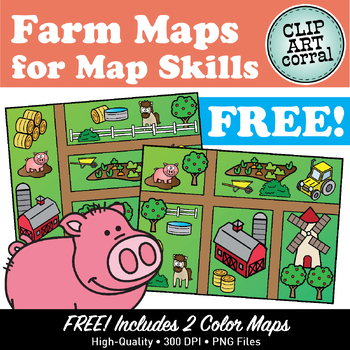
FREE! Map Skills Farm Maps Clipart Sampler
Let's go to the Farm! Get excited about teaching Map Skills with this FREE sampler featuring two fun Farm Maps! Want more? Check out the complete Farm Maps set! Includes maps and pieces to create your own!Images are close-cropped, 300 dpi, png format. More Map Skills Collections:• Farm Maps Clipart Set• Neighborhood Maps Clipart Set• Pirate Maps Clipart for Map Skills• Camp Maps Clipart Set• Town Maps Clipart Set• Landforms Clipart SetClip Art Corral Terms of UseThanks for checking out my shop!►
Grades:
Not Grade Specific
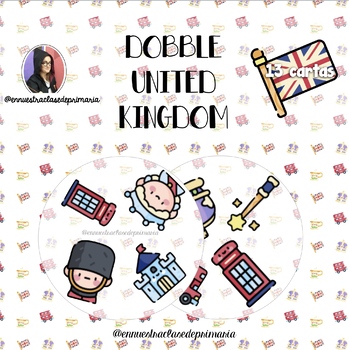
Dobble Spot it United Kingdom Vocabulary
Juego del tipo Dobble/Spot it con imágenes para trabajar el vocabulario de United Kingdom. El juego incluye:- Baraja con 13 cartas circulares.- Trasera para imprimir a doble cara.
Subjects:
Grades:
Not Grade Specific
![Preview of Blank Stitched Arrows [ The Studio Zoom ]](https://ecdn.teacherspayteachers.com/thumbitem/Blank-Stitched-Arrows-4649564-1561384592/original-4649564-1.jpg)
Blank Stitched Arrows [ The Studio Zoom ]
Add excitement to your classroom resources with these cute stitched directional arrows!ARROWS:Straight, Turn, 360 degrees, U turn, curveDELIVERABLES: -5 high-quality graphics for personal and commercial use-jpeg and png versions of each graphicYou will receive a .zip file containing the files. Please ensure you unzip/extract all items to use them.RETURNS: Due to the nature of digital files, no returns or refunds are available. Please ask all questions prior to purchasing. If for some reason, you
Grades:
Not Grade Specific
Showing 1-24 of 126 results

