1,242 results
2nd grade geography bulletin board ideas
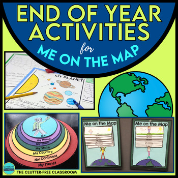
End of the Year Craft Activity Last Week of School Me on the Map Skills Review
Looking for an End of Year Craft Activity to Review Map Skills? Want a Last Week of School Writing Project? This Me on the Map flip book and summer writing pages are perfect for 1st, 2nd, 3rd or 4th grade students!This Maps and Globes activities pack has 8600+ POSITIVE REVIEWS and is the original & most highly-rated Me on the Map Project Activity Bundle on TpT. Teach map skills with crafts, printable worksheets, flip books & a nesting circle craftivity for the book by Joan Sweeney.It wil
Subjects:
Grades:
1st - 5th
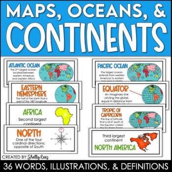
Continents and Oceans Maps and Posters | Geography and Maps Word Wall
Continents and Oceans and Map Skills can be fun to teach, especially when you have this great set of word wall cards. Each card includes the word, definition, and a clear, colorful illustration. Make a great bulletin board in just minutes!Click HERE to save 20% with the Continents, Oceans, and Map Skills BUNDLE!Please click on the PREVIEW above to get a clear picture of everything included.PERFECT for visually reinforcing landform vocabulary!This helpful continents, oceans, and maps word wall se
Grades:
2nd - 8th
Also included in: Maps, Continents and Oceans, Landforms, and Map Skills Bundle
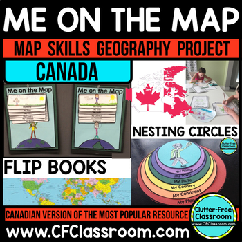
Me on the Map, CANADA - A Social Studies & Language Arts Project
This Canadian Me on the Map resource is based on Joan Sweeney's book, Me on the Map. While this book is based on American Geography, it would be beneficial to read the book with the project, but it is not necessary. Students design a layered step book to represent their place on the map. You may then have them create an art project of themselves on the earth to match the cover of the book. It makes a great bulletin board display and is such a fun way to practice map skills!This is an integrated
Grades:
1st - 5th
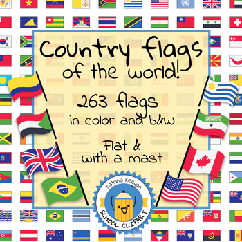
Country flags of the world: 263 Country flags - clip art bundle (1052 clips!)
Country flags of the world: 263 Country flags. HUGE clip art BUNDLE!
This clip art contains 263 flags, in 2 forms (flat and with mast) in color and black & white line art.
Contains all the flags of the countries of the world : 195 Countries.
Look at the complete list of flags by downloading the preview
A total of 1052 clips!
Included:
263 color flag (flat) clip art flag set- PNG format
263 B&W flag (flat) clip art set- PNG format
263 color flag (with mast) clip art set- PNG format
Grades:
PreK - 12th, Higher Education, Adult Education
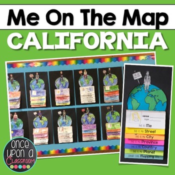
Me on the Map - California
I take requests!!! Need a different state? Different country? Email me at erinneb@yahoo.ca and I would be more than happy to make one for you!
Elevate your Local Community or Global Community units with this interactive mapping flip book! Not only will students gain an understanding of their place in the world but you will have the BEST bulletin board display in the entire school showcasing their amazing learning!
This pack includes:
1. Full page-by-page assembly instructions with pho
Grades:
K - 3rd
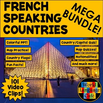
FRANCOPHONE COUNTRIES FRENCH SPEAKING COUNTRIES ⭐ Videos PPT Google Maps Quizzes
Do you struggle to make Francophone countries culture come alive? Want to bring your students on virtual field trips to all the major French speaking countries without ever leaving your classroom? Want to convince even your most reluctant learners to speak French so they can visit all these beautiful places? This is a whole year of Francophone culture. Hours of lesson plans including 101 Francophone countries video clips, colorful photos, facts, nationality practice, flashcards, a research pr
Subjects:
Grades:
2nd - 12th
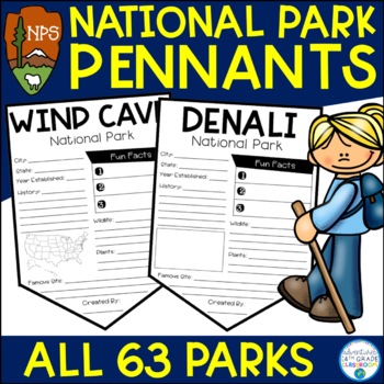
National Park Research Project Activity | Pennants | National Park Week
Do you teach using the National Parks? In this resource, you will find all 63 National Park pennants. These pennants are perfect for a mini-research project or for your students to celebrate National Park Week in April. There are two versions of each pennant- one with a map and one without a map. There is also a "National Park Passport" cover if you would like to make the pennants into a booklet.Includes space for the following information:City & StateYear EstablishedHistoryPlantsAnimalsFamo
Subjects:
Grades:
2nd - 5th
CCSS:
Also included in: National Parks Bundle
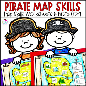
Map Skills Cardinal Directions Map Key Pirate Craft Social Studies Activities
Check out this FUN first grade social studies unit for practicing map skills with a pirate theme. This engaging unit practices cardinal directions, map key, directions on a map, distance on a map, and more! Use the pirate maps for a cute social studies bulletin board! Your students will LOVE learning about map skills with this fun resource!Everything is ready to print and use in this unit! It includes worksheets, answer keys, and the craft with options for use. The pirate craft makes an adorable
Subjects:
Grades:
K - 2nd
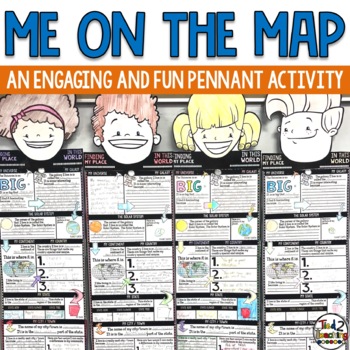
Me On the Map Activities
As you begin to work on map skills and geography this year, this me on a map activity is a fun way to help your students understand their place in this world. These pennants are the perfect way to integrate social studies, geography, literacy, and fun with the celebration of the uniqueness of each student. As students complete this fun activity they will show that there is only one special "Me" in the universe. Celebrate each child as being special and unique as they share about their place in
Grades:
2nd - 6th
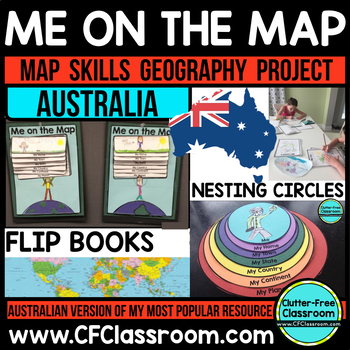
Me on the Map - AUSTRALIA - A Geography & Language Arts Project
This Australian Me on the Map resource is based on Joan Sweeney's book, Me on the Map. While this book is based on American Geography, it would be beneficial to read the book with the project, but it is not necessary. Students design a layered step book to represent their place on the map. You may then have them create an art project of themselves on the earth to match the cover of the book. It makes a great bulletin board display and is such a fun way to practice map skills!This is an integrate
Grades:
1st - 5th
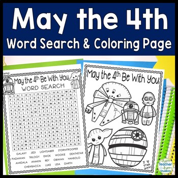
May the 4th Be With You Word Search: May the Fourth Word Search (Star Wars)
May the Fourth Be With You Word Search and BONUS Coloring Page: This resource is a print & go May 4th activity Word search is included with 2 different titles: May the 4th Be With You & Star Wars. FREE Star Wars coloring page included as well.Words included in this word search are: GALAXY JEDI LIGHTSABER STORMTROOPER PADAWAN TRILOGY EWOK WOOKIE DEATHSTAR AMIDALA ANAKIN REY OBIWAN HANSOLO CHEWBACCA LUKE LEIA DARTHWord search includes answer key in case your students get stumped!Happy Teac
Grades:
2nd - 5th
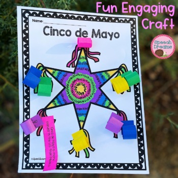
Cinco de Mayo Craft Activity | Mexico Country Study Facts for End of the Year
Plan a creative and engaging Cinco de Mayo craft activity with this super cute piñata to celebrate the 5th of May. This interactive Cinco de Mayo country study is sure to be a hit in your classroom. Your students will love completing this Mexican cultural activity as they learn facts about the holiday. 10 different facts to review about Cinco de Mayo blank strips that your students can use if you need to add different facts depending on their unit study improves fine motor skills real photo ins
Grades:
1st - 4th
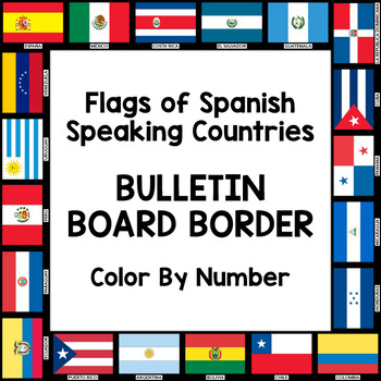
Flags of Spanish-Speaking Countries Bulletin Board Border
Decorate your classroom bulletin boards with these colorful flag borders. Your students will enjoy learning about the 21 flags of the Spanish-speaking world as they follow a color by number key to color in each section of the flags. Only five colors are needed: rojo, amarillo, verde, azul cielo, and azul (red, yellow, green, sky blue, and blue). This is a great activity when learning about the 21 Spanish-speaking countries, Hispanic culture, holidays, or colors.
Includes:
- A set of 3 color by
Subjects:
Grades:
K - 10th
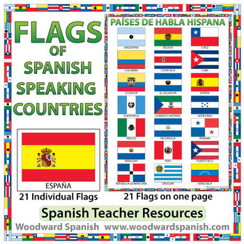
Flags of Spanish-speaking Countries
Flags of the 21 Spanish-speaking countries.
These flags are perfect for decorating the Spanish classroom. You may also want to laminate the flags and use them as large flashcards.
There are 21 individual flags of the following Spanish-speaking countries: Argentina, Bolivia, Chile, Colombia, Costa Rica, Cuba, Ecuador, El Salvador, España, Guatemala, Guinea Ecuatorial, Honduras, México, Nicaragua, Panamá, Paraguay, Perú, Puerto Rico, República Dominicana, Uruguay, Venezuela.
Each flag is on its
Subjects:
Grades:
1st - 12th, Adult Education
Also included in: Spanish Bundle – Spanish-speaking Countries and Capitals
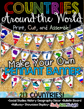
Countries Around the World Classroom Decor Make Your Own Pennant Banner
Worldwide Countries Classroom Decor Make Your Own Pennant BannerGrades K-12 social studies, history, geography, Model UN, global studies, world history Celebrate our world! Teachers can decorate their classrooms, hallway, gymnasium, media center, or anywhere in their building. You'll get 213 pennants to choose from. Pick pennants that represent your student's heritage, ethnicities, backgrounds, ancestry. They are colorful and awesome to look at. The countries pennant will bring enthusiasm and un
Grades:
PreK - 12th, Higher Education, Adult Education, Staff
Also included in: English Teacher Activities and Fun Bundle
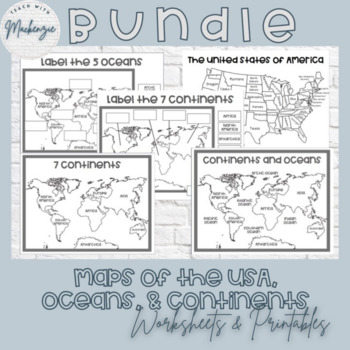
Printable Maps and Worksheets | Continents Ocean & The United States Bundle
This bundle includes 5 printable resources that are perfect for any minimalist teacher or classroom! All of these resources can be printed, laminated, and copied for your students. The featured fonts are from HelloFonts at www.jenjonesfont.com- Black and White Map of the United States of America | Coloring Page- Black and White World Map Continents and Oceans | Coloring Sheet- Black and White World Map | Coloring Sheet- Printable 7 Continents Worksheet | Cut and Paste- Printable Oceans Worksheet
Subjects:
Grades:
PreK - 3rd
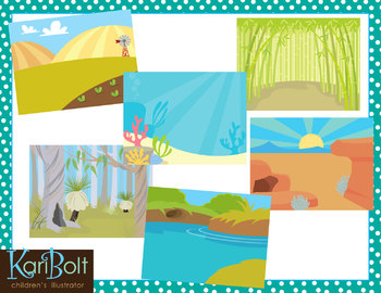
Habitats and Landscapes Clip Art Scenes
25 different habitats in color and black and white. 11x8.5" each (NOTE-preview file is reduced 50% to be able to show all scenes in color and black and white).
WHAT YOU GET IN THIS SET
• Antarctica • Asian Mountains • Australian Bush • Bamboo Forest • Beach
• Farm • Desert • Jungle • Mountains • Ocean • Park • Pine Forest • Pond
• Prairie • Rainforest • River • Rugged Mountains • Sand • African Savannah
• Cypress Swamp • Winter Field • Woods • Woods with a Cave • Zoo
• Tropical Beach
========
Subjects:
Grades:
PreK - 6th
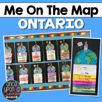
Me on the Map - Ontario
I take requests!!! Need a different province, territory or state? Different country? Email me at erinneb@yahoo.ca and I would be more than happy to make one for you!
Elevate your Local Community or Global Community units with this interactive mapping flip book! Not only will students gain an understanding of their place in the world but you will have the BEST bulletin board display in the entire school showcasing their amazing learning! This project addresses many of the 2013 revised Soc
Subjects:
Grades:
1st - 2nd
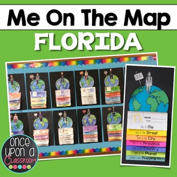
Me on the Map - Florida!
I take requests!!! Need a different state? Different country? Email me at erinneb@yahoo.ca and I would be more than happy to make one for you!
Elevate your Local Community or Global Community units with this interactive mapping flip book! Not only will students gain an understanding of their place in the world but you will have the BEST bulletin board display in the entire school showcasing their amazing learning!
This pack includes:
1. Full page-by-page assembly instructions with pho
Grades:
K - 3rd
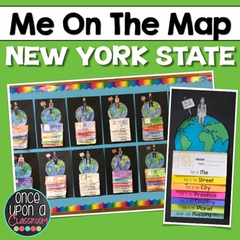
Me on the Map - New York State!
I take requests!!! Need a different state? Different country? Email me at erinneb@yahoo.ca and I would be more than happy to make one for you!
Elevate your Local Community or Global Community units with this interactive mapping flip book! Not only will students gain an understanding of their place in the world but you will have the BEST bulletin board display in the entire school showcasing their amazing learning!
This pack includes:
1. Full page-by-page assembly instructions with pho
Grades:
K - 3rd
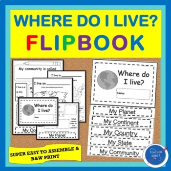
Back to School Activity Where do I live? Maps Flipbook All About Me | Map Skills
Looking for a hands-on activity for beginner map study? Students will identify the planet, continent, country, state, and community where they live. Use by itself or after guided reading of Me on the Map or Where do I Live?Students will cut & paste pictures, write missing words, and use reference maps to help them locate places relative to where they live. The flipbook is very interactive and looks great hung up upon completion. You could also place it on students' desks for Back To School N
Grades:
1st - 4th
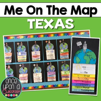
Me on the Map - Texas
I take requests!!! Need a different state? Different country? Email me at erinneb@yahoo.ca and I would be more than happy to make one for you!
Elevate your Local Community or Global Community units with this interactive mapping flip book! Not only will students gain an understanding of their place in the world but you will have the BEST bulletin board display in the entire school showcasing their amazing learning!
This pack includes:
1. Full page-by-page assembly instructions with pho
Grades:
K - 3rd
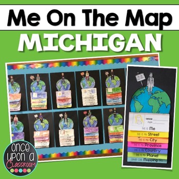
Me on the Map - Michigan
I take requests!!! Need a different state or province? Different country? Email me at erinneb@yahoo.ca and I would be more than happy to make one for you!
Elevate your Local Community or Global Community units with this interactive flip book activity! Not only will students gain an understanding of their place in the world but you will have the BEST bulletin board display in the entire school showcasing their amazing learning! Parents LOVE seeing these at Open House!
This pack includes:
Grades:
K - 3rd
All About Maps Flip Flap Book® | Distance Learning
Map Skills activity. Learning about Map Skills is FUN! Get ready to have your students hone in on those map skills as they complete this All About Maps Flip-Flap Book®!DIGITAL OPTIONS NOW INCLUDED:We have now added Google Slide activities to accompany each unit. You can click on the Google Slides link, make a copy, and now begin using it with your students. You can add the Google Slide links to Google Classroom, via email, Microsoft Teams, and Seesaw, etc. This will give you the ability to prov
Grades:
2nd - 4th
Showing 1-24 of 1,242 results


