627 results
1st grade geography graphic organizers
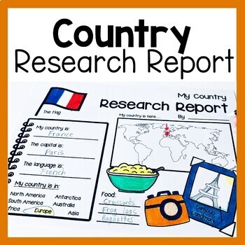
Country Research Report Worksheets and Graphic Organizers Google Slides
Are you looking for engaging activities for writing a country research project? These country research graphic organizer worksheets are perfect for your literacy and social studies lessons about countries. They are ideal for research projects and report writing. They are also great for reading lessons with informational texts.These informational essay graphic organizers are offered as no prep printables, as well as in digital formats (TPT Easel and Google Slides). Here's the thing. You want your
Subjects:
Grades:
1st - 3rd
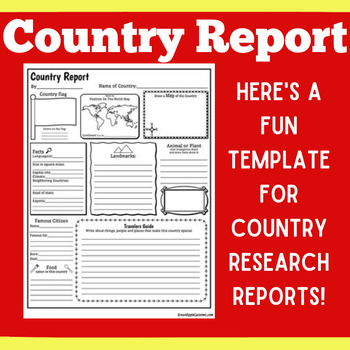
COUNTRY RESEARCH REPORT Template Project Projects | 1st 2nd 3rd 4th 5th Grade
COUNTRY RESEARCH REPORT Template Project Projects | 1st 2nd 3rd 4th 5th GradeYour students will love this country research report template! Perfect for your students to use as they research and write about a different country. This country research graphic organizer template helps them to organize their facts and information in a clear and concise way!❤ CLICK HERE TO FOLLOW GREEN APPLE LESSONS!
Subjects:
Grades:
1st - 5th
Also included in: GRAPHIC ORGANIZER ORGANIZERS Report Project Template BUNDLE
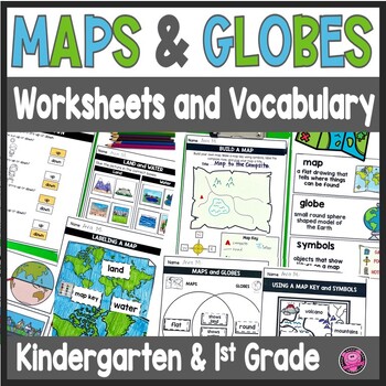
Maps and Globes Worksheets - 1st Grade Map Skills - Kindergarten Mapping Skills
Introduce and teach kindergarten and first grade students all about Maps and Globes, Cardinal Directions, Landforms, and Bodies of Water using this fun and engaging geography unit! These map skills worksheets cover landforms, oceans, relative directions, maps, globes, map keys and symbols, compass rose, Venn Diagrams, 24 geography words, and let your students design their own maps. These maps and globes activities are designed to use with ANY social studies curriculum!Students will practice, cre
Grades:
K - 1st
CCSS:
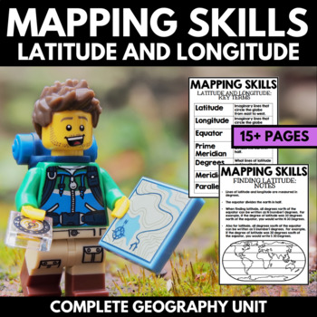
Mapping Skills And Activities - Latitude Longitude Maps and Globes - Geography
Mapping Skills and Activities for Geography featuring Latitude and Longitude! For these geography activities, students practice mapping skills while learning about latitude and longitude in a fun and engaging way. A variety of fun mapping activities are included - use these latitude and longitude activities for your upcoming geography unit or mapping unit! The included activities would make a great addition to a geography interactive notebook!This activity includes the following latitude and lon
Grades:
1st - 4th
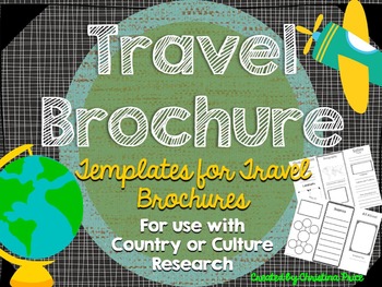
Travel Brochure
Students will love creating their own travel brochure! Students can research, create, and present information about any country! Great for culture studies and country presentations. This format can also be made into a travel style pamphlet/booklet with multiple pages. Choose from 8 different cover layouts and 6 different inside layouts. Includes sections for:*pictures*map*Interesting Facts*Bubble Map for vocabulary words*blank picture/writing lines for any additional information *culture*econom
Grades:
1st - 5th
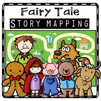
Fairy Tale Story Maps, Retelling Activities, Fairy Tale Sequencing, Map Skills
Kids will love using these fairy tale story map retell printables to create story maps to practice retelling stories, sequencing, and map skills to build oral language, vocabulary, and comprehension skills. This resource was also designed to help you integrate social studies and teaches kindergarten and first grade children about map skills such as using a compass rose and following cardinal directions.Story Retell Maps Include: Story Mapping with Little Red Riding HoodStory Mapping with The Gi
Subjects:
Grades:
PreK - 2nd
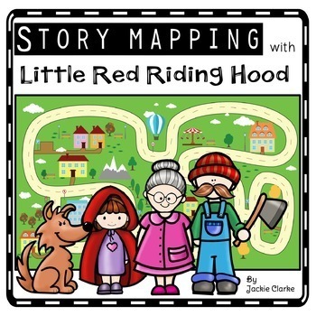
Little Red Riding Hood Retelling Activities, Story Maps, Fairy Tale Sequencing
Kids will love using the Little Red Riding Hood retell printables to create story maps to practice retelling stories, fairy tale sequencing, and map skills that build oral language, vocabulary, and language comprehension skills. This resource was also designed to help you integrate social studies and teaches kindergarten and first grade children about map skills such as using a compass rose and following cardinal directions.✅How Can I Use This Little Red Riding Hood Story Map?As a retelling and
Subjects:
Grades:
PreK - 2nd
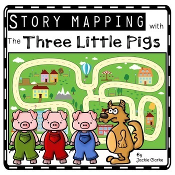
Three Little Pigs Retelling Activities, Story Retell Maps, Fairy Tale Sequencing
Kids will love using The Three Little Pigs retell printables to create story maps to practice retelling stories, fairy tale sequencing, and map skills that build oral language, vocabulary, and language comprehension skills. This resource was also designed to help you integrate social studies and teaches kindergarten and first grade children about map skills such as using a compass rose and following cardinal directions.✅How Can I Use This Three Little Pigs Story Map?As a retelling and sequencin
Subjects:
Grades:
PreK - 2nd
Los Mapas "Yo en el Mapa " Habilidades usando mapas Where We Life
Los Mapas " Yo en el Mapa " Habilidades usando mapas
(Map Skills - Me on the Map / Where We Life - Donde vivimos)
Mini Unit
Por favor asegurece de leer la descripcion y ver el documento previo para asegurar que este producto cubre sus necesidades.
Con este producto los estudiantes aprendedran sobre la historia de los, los elementos basicos y podran hacer mapas.
Contenido de este documento:
Lecturita de la historia de los mapas.
Librito sobre los mapas.
KWL
9 Gráficos de datos
Cuestionario
Subjects:
Grades:
PreK - 2nd
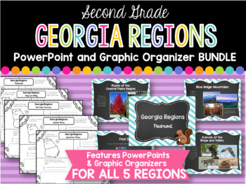
2nd Grade Georgia Regions BUNDLE
This is a bundle of all five of my Georgia Regions PowerPoints and Graphic Organizers.
The set is perfect for teaching all five of the Georgia regions covered in second grade! Students will locate each region on a map, list plants and animals found in the region, and two interesting facts. Each of these categories are covered in the corresponding PowerPoints.
Regions covered:
Appalachian Plateau
Ridge and Valley
Blue Ridge Mountains
Piedmont
Coastal Plains
*I always greatly appreciate your
Subjects:
Grades:
1st - 3rd
![Preview of Discovering the 7 Continents [MEGA] Bundle Unit!](https://ecdn.teacherspayteachers.com/thumbitem/7-Continents-MEGA-Unit--2366611-1635084318/original-2366611-1.jpg)
Discovering the 7 Continents [MEGA] Bundle Unit!
*Discovering the 7 Continents* {North America, South America, Europe, Asia, Africa, Australia and Antarctica!}***SAVE OVER 20% OFF BY PURCHASING THE BUNDLE***This comprehensive continents mega unit on the 7 continents provides students with multiple opportunities to demonstrate their knowledge of each of the continents. It provides all the materials students will need for a systematic, organized method to produce an interactive pocket book on the continents. Students will thrive on the predicta
Subjects:
Grades:
1st - 2nd
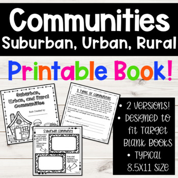
Suburban, Urban, Rural Communities Social Studies 2nd Grade Book
Stop hunting for social studies community materials, and take a look at this resource! I have been teaching the types of communities for several years, and spent TONS of time researching and creating different materials. I want to save your valuable teaching time, and provide you with this fun set of materials!!**THESE PAGES ARE MADE TO FIT THE BLANK BOOKS FROM THE TARGET DOLLAR SPOT!** Why? Because my students just love to create their own books of learning. By adding these pages to the blank b
Subjects:
Grades:
1st - 3rd
Canadian Symbols Unit
This is a fun Social Studies unit for studying Canadian symbols. Here's what is included:
p. 3-5 -- What is a symbol? (poster and writing page)
p. 6-22 -- Canadian Symbols (write three facts and colour picture for ten Canadian symbols--hockey, beaver, goose, red & white, flag, map, national anthem, languages, maple tree, and money)
p. 23-32 -- Provincial/Territorial Symbols (write/draw about tree, flower, animal, bird, and flag for each province/territory)
p. 33-46 -- Canadian Money (anchor
Subjects:
Grades:
K - 4th
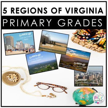
5 Regions of Virginia for Primary Grades
Make teaching 5 Regions of Virginia easy with these quick activities! This set includes a book for each region, with real pictures great for non-fiction lessons! These are quick and easy to use making them perfect for a center or a substitute day too!Students can easily use this in the classroom or take them home to do with their families. These are appropriate for younger grades 1 to 2.Here's what you'll get:•2 versions of the Virginia map•2 cardinal sizes•Where has our cardinal been worksheet•
Grades:
1st - 2nd
Jack & the Beanstalk Retelling Activity, Story Retell Map, Fairy Tale Sequencing
Kids will love using the Jack and the Beanstalk retell printables to create story maps to practice retelling stories, fairy tale sequencing, and map skills that build oral language, vocabulary, and language comprehension skills. This resource was also designed to help you integrate social studies and teaches kindergarten and first grade children about map skills such as using a compass rose and following cardinal directions.✅How Can I Use This Jack and the Beanstalk Story Map?As a retelling and
Subjects:
Grades:
PreK - 2nd
Global Communites Research Project - Grade 2 Social Studies
This is a culminating task for the Global Communities unit in the Grade 2 Ontario Social Studies curriculum. It is a report outline that asks students to research and report on a country.
This PDF document includes 17 pages including:
- 1 page of teaching tips, assessment guidelines, and links to the Ontario curriculum
- a chart for students to organize their research
- 8 pages of graphic organizers to report information about location, climate, population, food, homes, animals, plants, jobs
Grades:
1st - 3rd
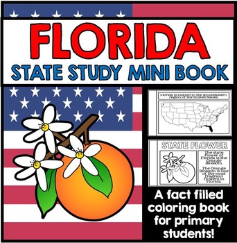
Florida State Study - Facts and Information about Florida
{Florida, Florida State Study, Florida Study, Florida Research, Florida Mini Book, Florida Project, Florida Activity, Florida Unit, All About Florida, Florida State Symbols}
This 27 Page Florida State Study Mini Book is a great way to teach primary grade students all about Florida. Perfect for your Florida unit, this state study mini book contains information about Florida state symbols, as well as other key information and details all about Florida. This state study mini book works well for
Grades:
1st - 2nd
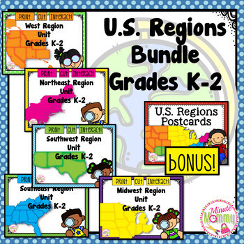
U.S. Regions K-2 Bundle
*Updated May 2019!* This comprehensive, interactive unit covers everything you need to teach your k-2 students about the 5 regions of the U.S. These sets have also been used across the country for differentiation in the classroom. Students will hop their way across the Northeast and learn all about the states, their climate, natural resources and landforms. There are also 2 differentiated assessments for each region! When you finish the unit, the students also have pages to help them plan a re
Subjects:
Grades:
K - 3rd
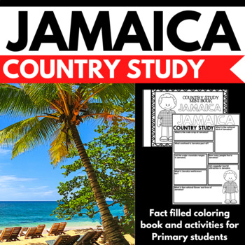
Jamaica Country Study Research Project - Differentiated - Reading Comprehension
This 50 Page Jamaica country study project is perfect your upcoming Jamaica unit, multicultural study, cultural fair, or country study. Full of information about Jamaica, this differentiated fact filled coloring book and country study activity package includes information, writing prompts, and reading comprehension questions about Jamaica written in engaging informational text that is perfect for the lower elementary grades. Key information about Jamaica is included, including geography, the Jam
Grades:
1st - 3rd
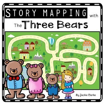
The Three Bears Retelling Activities, Story Retell Maps, Fairy Tale Sequencing
Kids will love using the Goldilocks and the Three Bears retell printables to create story maps to practice retelling stories, fairy tale sequencing, and map skills that build oral language, vocabulary, and language comprehension skills. This resource was also designed to help you integrate social studies and teaches kindergarten and first grade children about map skills such as using a compass rose and following cardinal directions.✅How Can I Use This Goldilocks and the Three Bears Story Map?As
Subjects:
Grades:
PreK - 2nd
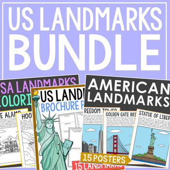
AMERICAN LANDMARKS Coloring Pages, Posters, and Research Report Actvities
Save 30% on this bundle of AMERICAN LANDMARKS informational coloring pages, full color posters, and research brochure projects. Perfect if you're needing to scaffold the same topic for different levels! You'll receive 15 brochure projects, 15 informational coloring pages, and 15 full color posters.Resources in the Bundle:US Landmarks Research BrochuresUS Landmarks Coloring PagesUS Landmarks Color PostersFamous USA Landmarks Included: The AlamoCloud GateEmpire State BuildingFreedom TowerGateway A
Grades:
K - 5th
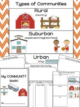
Types of Communities | Distance Learning
**UPDATED!** TYPES OF COMMUNITIES: POSTER AND WORKSHEETS : RURAL, SUBURBAN, URBAN
Includes: Types of Communities Poster and Worksheets to go along with it! This packet is all about the different types which include: rural, suburban and urban communities.
- Types of Communities Poster
- Types of Communities matching- cut and paste *
- My Community Book! cover page*
- Communities circle map*
- Member of a community reflection worksheet*
- Rural Community worksheet: draw/write to describe
- Sub
Subjects:
Grades:
1st - 5th
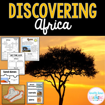
Continents: Africa Research Unit with PowerPoint
Your students will love the variety of this fun, interactive and engaging unit on Africa. The Africa unit is a comprehensive week long unit that integrates technology, vocabulary, writing, art, reading strategies and more! Students will respond to informational text by answering questions in a student booklet in a variety of formats. Students will learn vocabulary words by creating a picture vocabulary flip book. The vocabulary words are embedded throughout the unit to promote ample opportunitie
Grades:
1st - 2nd
Also included in: Discovering the 7 Continents [MEGA] Bundle Unit!
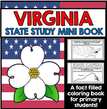
Virginia State Study Booklet - Virginia Facts and Information
Virginia State Study Booklet - Virginia Facts and Information for Primary Students
This 27 Page Virginia State Study Mini Book Project is a great way to introduce primary grade students to the state of Virginia. This state study project contains key information and details all about Virginia; students learn about Virginia state symbols, and a variety of important facts and figures about the state. The pages of this booklet are presented in graphic organizer format, and is great for class res
Grades:
1st - 2nd
Showing 1-24 of 627 results


