3,916 results
Free geography microsofts
My Landform Book
This is a little book I made with my students to practice naming landforms.The book prints 2 to a page to save copies! :)
I included a version with the TEKS at the top of each page, and a version without.
Landforms included:
Mountains
Valleys
Rivers
Oceans
Gulfs
Plains
Hills
Peninsula
Islands
Lakes
Subjects:
Grades:
1st - 3rd
Types:
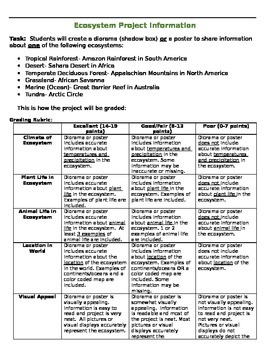
Ecosystem Research Project
Ecosystem Research Project includes:*Parent introduction letter with expectations (2 pages)*Note taking sheet (2 pages)*Grading rubric (1 page)*Photos of student example projects (1 page)This project addresses Tennessee 3rd grade social studies (geography) and science standards. Students research and create a diorama box or poster to represent a specific ecosystem around the world: Ocean- Great Barrier Reef, Grassland- African Savannah, Tundra- Arctic Circle, Temperate Deciduous Forest- Appalach
Subjects:
Grades:
2nd - 4th

States and Capitals Jeopardy
States and Capitals Jeopardy is an excellent tool for a review game for the 50 states and their capitals. Students can be broken into teams to compete against each other or they can keep track of their scored individually. The students love it and really get into it!
Powerpoint is able to be edited to allow for new review games with the Jeopardy template.
Subjects:
Grades:
4th - 8th
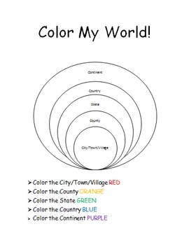
The World Where I Live...
This is a jam-packed, 40 page unit full of multi-sensory and multi-grade-level activities all centering on the relationships between the following concepts: city/town/village, county, state, country, continent, and community helpers. The following mathematical concepts are also explored: range, median, mode, and average (mathematical mean).
The following activities are included in this unit: Key vocabulary exercise, coloring Venn diagram activity, "Greater Than, Less Than" activity page, "My
Subjects:
Grades:
K - 8th
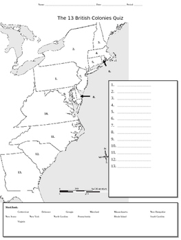
13 Colonies Map Quiz
This mapping activity which addresses the original 13 colonies can be used either an initial introduction worksheet/organizer or as a quiz.
Subjects:
Grades:
4th - 9th
Types:
Landforms and Bodies of Water
This presentation is an introduction to landforms and bodies of water. It uses real-world photographs.
Subjects:
Grades:
3rd - 4th
Types:
Landforms Vocabulary Powerpoint
A simple powerpoint to introduce young or ESL students to landform vocaulary. Covers mountai, island, valley, ocean, river, and hill.
Subjects:
Grades:
PreK - 2nd
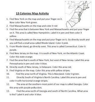
13 Colonies Map Activity
This is a simple mapping activity for Colonial America. I've included instructions for finding the different colonies and how they are to color them. The instructions include using directions like north, south, east, and west. All you need to provide is your favorite map of the 13 colonies to use.
Also included is mnemonic for remembering the 13 colonies and a bonus point for drawing a picture of this mnemonic.
I give each student their own map and instruction sheet. I then have students take
Subjects:
Grades:
4th - 5th
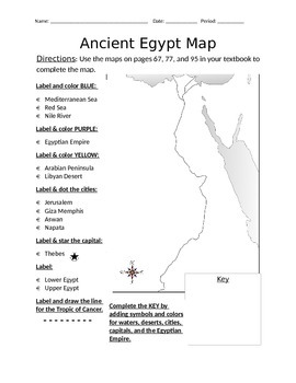
Blank Ancient Egypt Map
I have used this blank Ancient Egypt map as an introduction to my ancient Egypt unit with 6th grade regular and ELL students in social studies. Not only does this help with students' geography skills, but it helps practice following basic written directions.
Subjects:
Grades:
5th - 7th
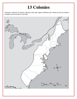
13 Original British Colonies Blank Map
This is a map of the original 13 British Colonies that is blank and able to be filled out by students. The directions also state that students are to color the three regions and include a key and compass rose on their maps. Great way for the students to learn about the 13 Original colonies.
If you like this printable, please visit my store and see what else I have!!! www.teacherspayteachers.com/store/Kathryn-B
Subjects:
Grades:
5th - 12th
Types:
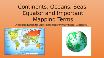
Continents, Oceans, Equator, Lines of Latitude and Longitude
A full introduction to the 7 continents with facts and pictures. Also facts and pictures for each of the 5 oceans. The conclusion is based on explaining the equator, lines of latitude and longitude as well as a brief description of the prime meridian. Enjoy.
Grades:
2nd - 9th
Types:
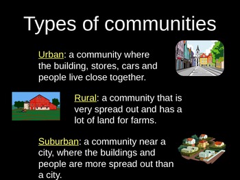
Urban, Suburban, and Rural PowerPoint Lesson with Graphic Organizer
Use this lesson to compare different types of communities.
Objective: The student understands how physical characteristics of places and regions affect people's activities and settlement patterns. The student is expected to: identify the characteristics of different communities, including urban, suburban, and rural, and how they affect activities and settlement patterns.
Subjects:
Grades:
K - 5th
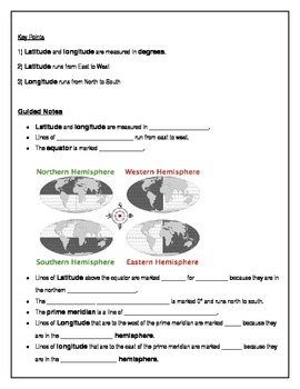
Teach Latitude and Longitude
This lesson helps students learn latitude and longitude with ample guided notes and independent practice. Print, distribute, and you're ready to teach!
Grades:
4th - 7th
Types:
Westward Expansion! A PowerPoint Presentation
This PowerPoint presentation includes information about westward expansion in the U.S. including maps, graphics, and information related to Manifest Destiny, travel methods, dangers and hardships of traveling west, life on the prairie, reasons for moving west, and links to interactive websites related to the topic. Great visuals and information!
Subjects:
Grades:
4th - 6th
Types:
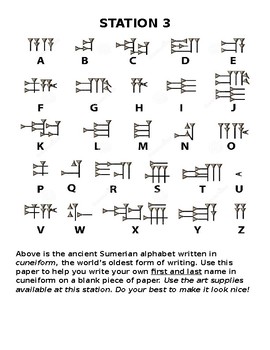
Write Your Name in Cuneiform
Students will use the key to create a form of their own name in Sumerian cuneiform. It would be really easy to adapt this too if you want to get clay and have students actually carve out and then dry tablets the way that real Sumerians did.
Subjects:
Grades:
7th - 10th
Types:
Coco - Movie Guide: Day of the Dead
Examine the Mexican tradition of Dia de los Muertos (Day of the Dead) as represented in this amazing film. Perfect for 3rd graders studying cultures around the world as well as Halloween celebrations with some education mingled in. Students will look at the geography of the celebration, key literary traits, and write an opinion piece at the conclusion. Integrating media, ELA, SS, and student's interest in a meaningful way. It's not just putting on a movie... it's using a movie to teach.
Subjects:
Grades:
2nd - 5th
Types:

Travel Brochure Template
This travel brochure template can be used for practicing research skills in younger grades (2nd or 3rd). Not only can this be used to demonstrate research of far away places via research books or the internet, but can also be used for much simpler, first-hand tasks like researching the library, nurse's office, classroom next door, friend's house etc. This may be a fun activity for the first week back to school. On the template itself, the three blank squares in the top portion and for students t
Subjects:
Grades:
1st - 3rd
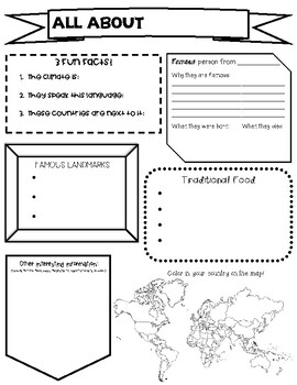
Country Report Research Graphic Organizer
An easy to use graphic organizer to help students complete a research project about a country of their choosing! I had them make a PowerPoint following their graphic organizer, 1 slide per section.
Subjects:
Grades:
2nd - 4th
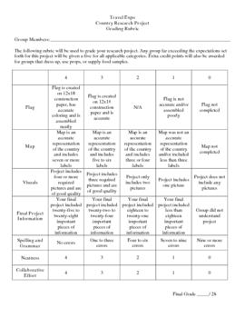
Country Research Project
** Uploaded Word document. Items will need to be copied/pasted into documents to fix some formatting issues.
This Country Research Project was designed as a group project for use with grades 5-8. It includes all of the introduction/explanation papers, worksheets for history, culture, travel, and geography as well as the presentation rubric and worksheet to go along with the Travel Expo (if you so choose to have one). There is a timeline included that covers roughly 8 days and includes time in t
Subjects:
Grades:
5th - 8th
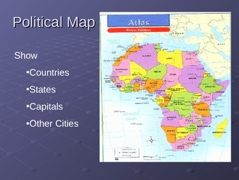
Powerpoint on Types of Maps and Their Uses
This is a 8 slide powerpoint. It introduces the different types of maps and their uses. This is a great resource for teachers that don't have Atlases for students or want to intoduce the maps in a simple way.
Grades:
4th - 7th
Types:
Types of Government PowerPoint and Worksheet
This PowerPoint goes through eight types of governments we see throughout the world. Each slide contains information about the basics of the government and gives current examples.
There is a companion worksheet to accompany the PowerPoint that will help students follow along and provide help with taking notes.
The following governments are covered:
Dictatorship
Absolute Monarchy
Constitutional Monarchy
Democracy
Republic
Communism
Theocracy
Anarchy
The beginning of the PowerPoint also address
Subjects:
Grades:
8th - 10th
Also included in: Introduction to Government Unit Bundle
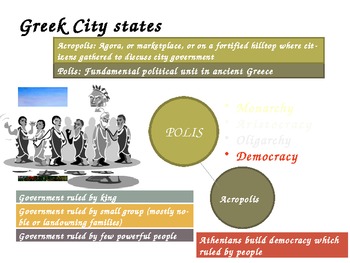
Ancient Greece - World History - Powerpoint
This Ancient Greece powerpoint is both colorful and engaging with an amazing amount of interesting content on the slides.
The content of the slides include many topics including:
1. Ancient Greece and the Trojan Wars - Iliad and Odyssey
2. Classical Greece and the great philosophers such as Socrates
and Plato
3. Alexander the Great and Darius: Egypt, Persia, and India
4. Hellenistic culture and Grecco Roman civilization
The slides are full of content and the pictures are vibrant. This
Grades:
6th - 10th
First day of High School or Middle School Activity
Power point with an activity that moves around the room. You will provide music to go with the activity. Students choose a genre of movie which will place them in their initial group. This activity will help them feel safe in sharing and getting to know one another. I used this last year and it was great to see them talking to each other in an educational way and learning how to do this from day 1. You can change the questions after the groups are formed, for any subject! Enjoy!
Grades:
8th - 11th
Learn the 50 States and Capitals!!
This is a great resource to help your students learn the 50 United States and Capitals!
It includes 19 pages for this State and Capital Unit. There are 17 pages to use to break down the states into weeks. There is a page for them to label the state abbreviations on . Finally, there is a page for them to take the weekly quizzes or worksheets on.
I used it as a weekly quiz, but you could use however. Kids loved learning them and loved the bonus option I included!
Subjects:
Grades:
3rd - 6th
Types:
Showing 1-24 of 3,916 results


