20 results
Geography unit plan interactive whiteboards
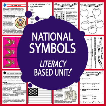
National Symbols – 13 American Symbols & National Landmark Activities & Lessons
Our American Symbols Unit features THIRTEEN COMPLETE Common Core-aligned lessons with a balanced mix of engaging higher and lower level hands-on activities to teach 1st-3rd grade students about our nation's National Symbols:
• National Symbols Pre and Post Tests
• Nonfiction Informational text-we provide all of the National Symbols CONTENT
• Questions to assess Informational Text Comprehension after each of the 13 lessons
• short Research Project to make the game Find the Fib using True and Fal
Subjects:
Grades:
1st - 3rd

Coral Reef Powerpoint
Ever get tired of introducing things from a text where the pictures are not big enough for everyone to see... This is the perfect way to solve that problem! Use this as a great supplement to your oceans unit and help introduce the coral reef! With the powerpoint background being black, the colors in the pictures really pop!
Grades:
K - 6th
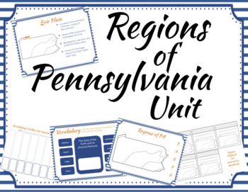
Regions of Pennsylvania Unit
Teach your students the five regions of Pennsylvania with this five day unit. This unit includes editable, zero prep Google slides that can be used on your interactive whiteboard or online for students working virtually. Slides are formatted for easy printing. Review vocabulary while having fun with daily interactive review activities.Day 5 can be used as an assessment. Answer Keys provided. Coordinating pages to be used in an interactive notebook are included.
Grades:
3rd - 5th
Grade 5 ELA Common Core Module 2A: Unit 2: Lessons 1 - 15
This interactive 108 slide powerpoint guides teachers and students through all of the learning targets, activities and concepts within the Grade 5 Common Core Module 2A. Within this powerpoint, there are charts, maps, hyperlinks, and graphic organizers. The only thing left for you to do is to copy student worksheets, prep for activities and make your anchor charts. Make your lessons go smoothly with this smart board friendly power point.
Subjects:
Grades:
5th
Grade 4 Political & Physical Regions of Canada DIGITAL Activities
Grade 4 Political and Physical Regions of Canada based on the 2013 Social Studies Curriculum. This is meant to supplement your own unit plan, as it is now an inquiry-based curriculum. This product had opportunities for your students to lead the inquiry process!IN-CLASS Political & Physical Regions of Canada ActivitiesCheck out the now available FRENCH version! Régions politique et physique du Canada (digital option not available at this time) DIGITAL Activities Included: Introductory Activit
Subjects:
Grades:
4th
Also included in: Grade 4 Social Studies (Regions of Canada AND Early Societies)
2nd Grade Geography Unit Flipchart
Interactive geography unit Flipchart introduces geography and it's key parts! Great for all ages, but made to cover all 2nd grade standards. Excellent interactive piece to excite students about learning geography!
*15 slides!
*Topics included: Geography, compass rose, maps, continents, countries, states, cities and more!
If you like this product, try:
Weather Unit Plan & Flipchart
Matter Unit Plan & Flipchart
Writing Unit Plans & Flipcharts
Subjects:
Grades:
1st - 4th
Me on the Map, Map Skills and Main Idea Smartboard Unit
(This is an extension on my other Maps Unit- its the same but incorporates ELA standards of Main Idea and details). This was created by our first grade team to align with the common core standards for first grade. This smartboard file contains an entire unit plan for map skills (3-4 weeks)! It starts out introducing features of a map (symbols, map key, compass rose, cardinal directions, etc.) There are links to read aloud books you can use from the website Pebble Go, BrainPop Jr. and Bookfli
Grades:
K - 2nd
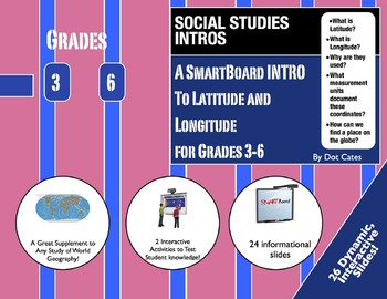
Where in the World? Latitude and Longitude: A SmartBoard Intro for Grades 3-6
The world is a vast place! Cartographers designed latitude and longitude coordinates to help identify the absolute location of a place on the Earth.
This 26 page SmartBoard presentation in designed for instructional purposes, and breaks down this abstract concept for younger learners to understand. It also includes two interactive activities at the end, allowing students to test out their new knowledge of latitude and longitude.
This presentation includes
* What is latitude?
* What is lo
Subjects:
Grades:
3rd - 6th

Holidays Around The World Flipchart
This Flipchart is an interactive and fun way for students to study different cultures and traditions through a Holidays Around the World unit! This Flipchart provides fun images, interactive websites linked in, videos and information about holidays celebrated around the world.
*Exciting and engaging for students!
*Introduces students to diverse cultures, building respect & appreciation!
*SO many opportunities and activities to expand on from here!
*28 pages! *Over 15 countries included!
Grades:
Not Grade Specific
Australian Gold Rush Perspectives Unit - Google Slides
This resource is part of the ‘Australian Gold Rush Perspectives UNIT’ pack. The pack provides unique multimedia opportunities for students to investigate The Gold Rush through the lenses of different perspectives. Within the lessons, students engage with the perspectives of European settlers, Aboriginal and Torres Strait Islander peoples, Chinese, and Women and children.Teaching and learning opportunities you can expect to see:Educative videosGoogle formsPrintablesDigital/ICT tasksGroup workGam
Grades:
Not Grade Specific
Also included in: Australian Gold Rush Perspectives Unit - Bundle
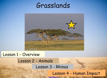
Grasslands Unit
This a SMART notebook file that forms a complete 4 lesson unit about grasslands, including, overview of grasslands, grassland animals, focus animal - Rhino and Human Impact on Grasslands.
This file includes links to videos, books, games and has an activity to complete at the end of each lesson to summarise knowledge learnt and can help with assessment. The activities at the end of each lesson are based around writing descriptions, requiring more detail and using less scaffolding towards the end
Subjects:
Grades:
2nd - 9th
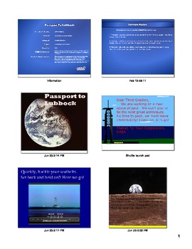
Passport to Your City
This is a SmartBoard lesson that was used in third grade with the Social Studies Alive Curriculum. It has my home town in it, but it would be easy to substitute your town in place. It teaches north, east, south, west, Prime Meridian, and the Equator. Then it also touches on city, state, and country. It includes interactive games and interactive websites listed at the end.
Subjects:
Grades:
K - 4th

South America
This is a SmartBoard lesson I used with third grade Voyager Curriculum. It touches on the countries and some of the other cultural aspects of South America.
Grades:
1st - 8th
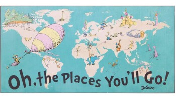
The Places You Can Go!! - (Cross-Curricular)
INTERACTIVE whole class, small group, or individual activity to use anytime or during March for Dr. Seuss theme! Students follow the key to color in the associated states. For cross-curricular have the students list two things they liked about the states they have lived in/visited and explain "Why" they want to visit/see the states they marked as green. (For further expansion, the states they marked as "want to see," you can have them do research & report on information regarding one of the
Subjects:
Grades:
3rd - 8th, Staff
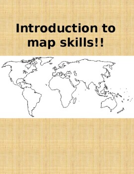
Map Skills - Introduction!
***The TpT thumbnails are condensed. When downloaded, the text is aligned!***ENGAGING activity to introduce map skills as well as inferencing from information on a "map"! 3 target slides. Have fun!
Grades:
1st - 2nd, Staff
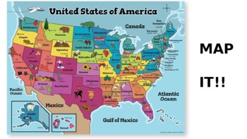
Map It!!
FUN & ENGAGING activity for interpreting maps, cardinal directions, and bonus knowledge! Two states randomly chosen - 5 target slides. Enjoy!!
Subjects:
Grades:
2nd - 4th, Staff
Cardinal Directions!
Great activity for introducing and practicing cardinal directions. A "key" is on the first 2 slides and then taken off for the third. Have fun!
Subjects:
Grades:
2nd - 4th, Staff
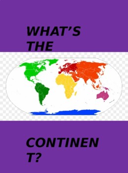
Continents!
***The TpT thumbnails are condensed. When downloaded, the text is aligned!*** QUICK activity to review and label the continents! On the first slide, students can move the name to the associated number.
Grades:
4th - 6th, Staff
Community Directions!
ENGAGING activity for understanding "directions" in communities! 2 target slides with 8 total questions. Have Fun!
Subjects:
Grades:
2nd - 4th, Staff
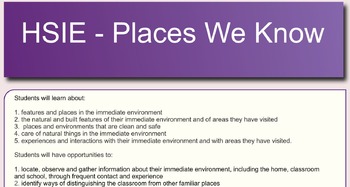
Places we know ES1
Unit of work for "Places we know" - HSIE syllabus. Kindergarten (early stage 1)
Grades:
K
Types:
Showing 1-20 of 20 results


