349 results
Free higher education geography resources
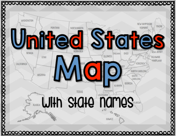
United States Map with State Names
You're search for the PERFECT United States map is over!
This black and white version has student learning in mind and contains the FULL STATE NAMES! This map is also part of my larger bundle on the Electoral College.
Click here to view it!
If you have any questions regarding any part of this product, please do not hesitate to contact me.
Thank you!
Subjects:
Grades:
1st - 12th, Higher Education, Staff
Types:
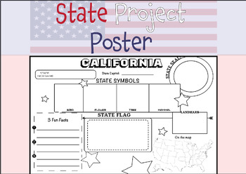
50 STATE RESEARCH PROJECT
These State Report poster templates are a fantastic resource that includes over 50 eye-catching posters to showcase your research project on any of the fifty United States. They are perfect for use throughout the year and are an excellent complement to social studies lessons, helping students to better organize their research. These state posters are not only useful for helping students to organize their research, but they also make great bulletin boards or hallway displays. Your students will b
Subjects:
Grades:
3rd - 12th, Higher Education, Adult Education
Types:
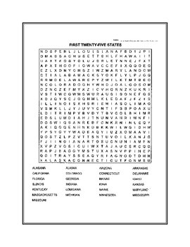
Fifty States Word Search
United States word search. Fifty states broken down in two puzzles.
Subjects:
Grades:
4th - 12th, Higher Education
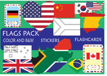
SUPER Flags pack!
In this pack, you will find resources to engage your students on the learning of the
most important countries, sorting by continents: America (EEUU, Canada, Brazil,
Mexico), Europe (UK, Spain, France, Germany, Russia), Africa (South Africa, Morocco, Egypt, Cameroon), Asia (Japan, China, India, South Korea), Oceania (New Zeland, Australia)
This pack includes:
- Flash cards
- Posters (Countries sorting by Continents; Colored and B&W)
- Stickers (flag, map and heart)
I hope that this resourc
Grades:
K - 12th, Higher Education
Google Maps FREEBIE Lesson Plan | Unit Preview | Technology Lesson | Tech Lesson
FREE Google Maps Technology Lesson! Student tutorials provided! (Grades 3-12) In this lesson, you and your students will explore the Earth using Google Maps, Street View, Time-Travel, and go on an Address Hunt using specific addresses, coordinates, and landmarks! You will even find a school that is in the shape of the Millennium Falcon from Star Wars! This lesson is made for use with:PCMacChromebookAll resources are organized for assigning through Google Classroom! (Although Google Classroom is
Grades:
3rd - 12th, Higher Education, Adult Education, Staff
Types:
Also included in: Middle and High School STEM and Technology Curriculum
Community, Safety & Traffic Signs Identical Image to Image Matching Boom Cards 3
For this community instruction based lesson, students are presented with varying community, traffic, or safety signs visually/in image form. Students are asked to review the provided sign and match it to its identical sign, out of an array of three images. Students will work on identifying alike images, identifying safety signs, and more!Preview the deck of boom cards with the following link: Click hereRelated Products• Life Skills Community Helpers & Occupations Errorless Yes/No Questions
Subjects:
Grades:
1st - 12th, Higher Education, Adult Education
Types:
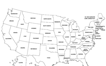
United States Map
United States Map.
FYI - For some reason the bottom is cut off a little.
Grades:
PreK - 12th, Higher Education, Adult Education
Community, Safety & Traffic Signs Vocab Image to Name Matching Boom Cards 3
For this community instruction based lesson, students are presented with varying community, traffic, or safety signs visually/in image form. Students will work on their functional vocabulary skills by identifying the sign's name. Students are asked to review the provided sign and match it to its name, out of an array of three . Students will work on identifying images, identifying safety signs, functional vocabulary and more!Related Products• Community, Safety & Traffic Signs Identical Imag
Subjects:
Grades:
1st - 12th, Higher Education, Adult Education
Types:
United States by Regions and Word Search
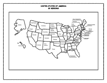
One hundred and ten pages in all. This is an easy way to learn the fifty states names and locations. Broken into four regions, each region contains a map to be labeled with states and capitals, state abbreviations, word search puzzles, and jumble puzzles. All complete with answer keys. They are in PDF format.
Grades:
4th - 12th, Higher Education
Types:
Map Project-Create A Country
Create a Country Map Projects asks students to construct a map using their Map skills. They must include a compass rose, mountain range, bodies of water, counties and county lines, 4 cities and a capital cities. Point Values are assigned and a Point-Grade scale is assigned.
An example of an original Create-A-Country is also given using clip-art.
Subjects:
Grades:
1st - 6th, Higher Education
Types:
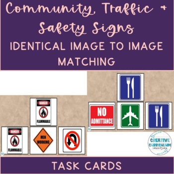
Community, Safety & Traffic Signs Identical Image to Image Matching Task Cards 2
For this community instruction based lesson, students are presented with varying community, traffic, or safety signs visually/in image form. Students are asked to review the provided sign and match it to its identical sign, out of an array of three images. Students will work on identifying alike images, identifying safety signs, and more!Task cards are great for running academic goals 1:1 with a student, in discrete trial format, or even as a group activity. Access my free data sheet to support
Subjects:
Grades:
1st - 12th, Higher Education, Adult Education
Types:
Also included in: Identical & Non-Identical Picture Matching Task Cards GROWING BUNDLE
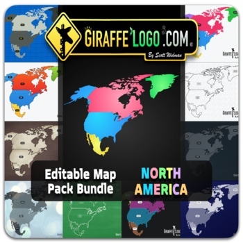
North America Fully Editable Maps for Google Slides & PowerPoint ~ FREEBIE!
NORTH AMERICA EDITABLE MAP PACK is perfect for creating fun / interactive digital or physical resources like worksheets, presentations, activities, and quizzes for students online or in the classroom! Digital World Maps come in PowerPoint, Keynote, and PDF formats and are compatible with Google Slides.NORTH AMERICA MAP PACK INCLUDES:x18 Fully Editable / High Quality HD Mapsx6 Unique Themes / Templates & x3 different map variants for each mapx4 Different Formats (PowerPoint / Keynote / PDF /
Grades:
PreK - 12th, Higher Education, Adult Education, Staff
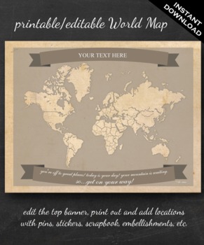
World Map Printable - Printable Editable Map Instant Download - Geography
The perfect printable for:
- geography lessons,
- plotting character's journeys in books,
- marking the regions you learn about throughout the year,
- tracking family history,
- practicing country and continent memorization,
- reviewing current events,
- and more!
ABOUT THE MAP
Printable on US Letter size paper (8.5"x11" or 21.59cm x 27.94cm) you'll need a pdf reader to open. Opened with Adobe, you'll be able to edit the top banner with your name, child's name, year, book title, "Our Advent
Grades:
3rd - 12th, Higher Education
13 Colonies Fully Editable Maps for Google Slides & PowerPoint ~ FREEBIE!
13 COLONIES EDITABLE MAP PACK is perfect for creating fun / interactive digital or physical resources like worksheets, presentations, activities, and quizzes for students online or in the classroom! Digital World Maps come in PowerPoint, Keynote, and PDF formats and are compatible with Google Slides.13 COLONIES MAP PACK INCLUDES:x19 Fully Editable / High Quality HD Mapsx7 Unique Themes / Templates & x3 different map variants for each mapx4 Different Formats (PowerPoint / Keynote / PDF / PNG)
Grades:
PreK - 12th, Higher Education, Adult Education, Staff
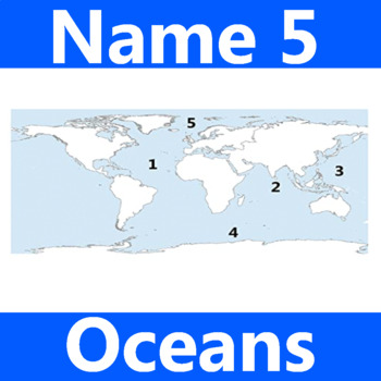
Name 5 Oceans Geography Classroom Activity Map Worksheet 1st-4th Grade
This is the perfect classroom activity for 1st, 2nd, 3rd, and 4th Grade students who are learning where the different oceans are. This five question geography worksheet has them finding and naming the different oceans of the world.
Grades:
PreK - 12th, Higher Education, Adult Education, Staff
Types:
Louisiana Purchase: "LEWIS & CLARK: Great Journey West" VIDEO LINK, QUIZ, & KEY
This is a 14 question video quiz consisting of Short Answer questions that follow (in order) information presented in the 43 minute National Geographic video entitled, "LEWIS & CLARK: GREAT JOURNEY WEST". The video quiz consists of a cover page, summary, student quiz, and teacher key and video location on YouTube.
This quiz has been created to be completed as the video is being viewed (which may then be graded if desired). I would not advise having students complete this after viewing the
Grades:
8th - 12th, Higher Education, Adult Education
Types:
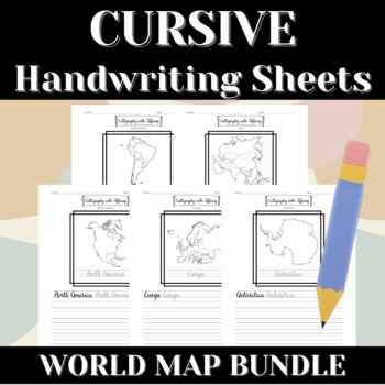
FREE | CONTINENTS OF THE WORLD | World Map | Cursive Writing Practice Sheets
CONTINENTS OF THE WORLD Cursive Handwriting Practice Sheets:This packet is part of the WORLD MAP BUNDLE:Let's grow global citizens! These calligraphy handwriting sheets are great for students who are learning cursive inside and outside the classroom. They are also excellent for students who are eager to learn cursive on their own. They provide students with a guide for cursive writing, and can even double as a brain break activity!This set focuses on continents of the world. Each page focuses on
Grades:
2nd - 12th, Higher Education, Adult Education, Staff
Types:
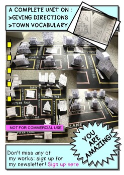
BUILD YOUR OWN IDEAL TOWN! AN ACTIVITY TO PRACTICE GIVING DIRECTIONS
A COMPLETE UNIT ON :GIVING DIRECTIONS & TOWN VOCABULARYFOR ENGLISH AND GEOGRAPHY CLASS AND FOR ESL TEACHING CLASSWhat you will have:*A full Lesson on Giving directions*15 Posters of the buildings in color*4 Poster of the vocabulary in English & Italian*1 Preposition of place poster***All the instruction and printable material to build your own town:**Shops and buildings labels**Shops and buildings in B&W**Shops and buildings in color**4 Labels for your town**The bases to keep your bu
Subjects:
Grades:
PreK - 12th, Higher Education, Adult Education
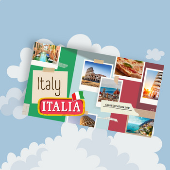
Italy - a Country Study Presentation
This Country Presentation can be used for a very basic country study in lower elementary grades! Each page contains a basic fact and related illustration! You may NOT modify or edit in any way.You may NOT resell or distribute in any way.You CAN share it if you indicate the credits.You MAY purchase an additional license for each colleague who wishes to share.
Subjects:
Grades:
PreK - 12th, Higher Education, Adult Education
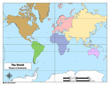
World Map: Oceans and Continents
This colorful map will help your students learn about and locate the continents, the oceans, and also the major lines of longitude and latitude (i.e., equator, Arctic Circle, Tropic of Cancer, etc.).One map has been completely labeled for studying and review. The second map is unlabeled and can be used to test the knowledge of your students.UPDATE: I have also included a black and white version as suggested by a reviewer. Enjoy!
Subjects:
Grades:
3rd - 12th, Higher Education
Types:
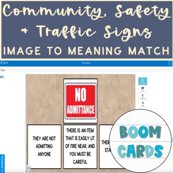
Community, Safety & Traffic Signs Vocab Image to Meaning Match Boom Cards
For this community instruction based lesson, students are presented with varying community, traffic, or safety signs visually/in image form. Students will work on their functional vocabulary skills by identifying the sign's meaning/purpose. Students are asked to review the provided sign and match it to its meaning or purpose, out of an array of three . Students will work on identifying images, identifying safety signs, functional vocabulary and more!Preview the deck with the following link: CLI
Subjects:
Grades:
1st - 12th, Higher Education, Adult Education
Types:
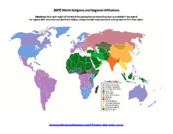
World Religions Map Quiz
Printable document containing a blank map that can be used to highlight where certain religions are most prominent. Also contains a colored map to be used as an answer key.
Subjects:
Grades:
6th - 12th, Higher Education
Types:
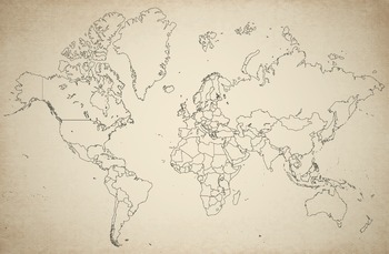
Free blank World Map, accurate, up-to-date, vintage style
Blank world map outline in Mercator projection with Europe-Africa centered. Vintage look.
This map is accurate and up-to-date.
You get a JPG-file, 6000 pixels wide. This translates into 20 inch 300DPI.
Grades:
3rd - 12th, Higher Education, Adult Education, Staff
Types:
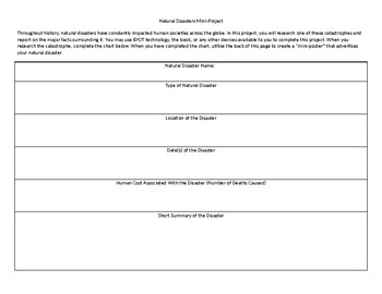
Natural Disasters Mini Project
This short project can typically be completed in one or two days. In it, students research a major natural disaster and complete an informational chart. Once they have completed the chart, they create a "mini-poster" on the back that describes their natural disaster.
Grades:
4th - 12th, Higher Education, Adult Education
Types:
Showing 1-24 of 349 results

