1,466 results
Free Kindergarten geography resources
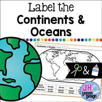
Label the Continents and Oceans: Cut and Paste
This cut and paste activity provides an opportunity for your students to practice labeling the continents and oceans on a world map.
Subjects:
Grades:
K - 5th
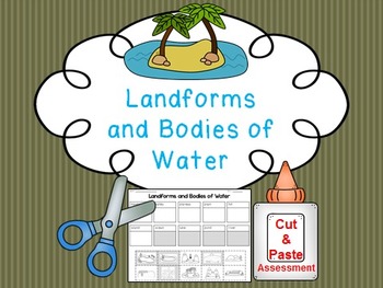
Landform and Body of Water FREE Cut and Paste Match
Students cut and paste pictures of landforms and bodies of water with their name. Color coded by landforms (white pieces) and bodies of water (gray pieces). Answer key is included!
Landforms included:
-mountain
-valley
-plateau
-plain
-hill
-island
Bodies of Water
-ocean
-lake
-pond
-river
Answer Key Included
Clipart by:
Ashley Hughes and Scrappin Doodles
Subjects:
Grades:
K - 3rd
Types:
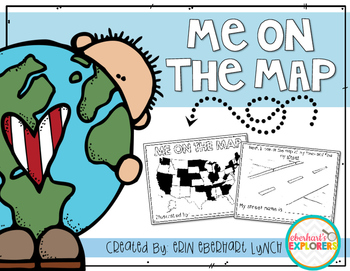
Me on the Map mini book
This book will help students understand the importance of map skills and give them a basic understanding of where they're located in relation to the world. Students will be introduced to the following words:
Country
State
Town/City
Street
House/Address
It's very simple and fun to do with students and is a great accompaniment for the Me on the Map book by Joan Sweeny.
Subjects:
Grades:
PreK - 2nd
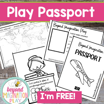
Free Play Passport | Passports Kids Printables | Around the World | Pretend Play
Now you can travel around the world in style with your lower elementary grade/ kindergarten/ special education learners. These pretend play passport pages have been designed to be used with my any of my Country Studies and Continent Studies. Simply color in each country as you finish exploring it.Exciting Note:All of our Country Studies (CLICK HERE) and Continent Studies (CLICK HERE) have been freshly updated in 2023 to have the most up-to-date information possible. Check them out and see if th
Grades:
PreK - 4th
Also included in: Continent Bundle - Spanish AND English Versions
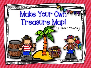
FREEBIE: Make Your Own Treasure Map!
Pirate Treasure Map:
Get your students excited about learning about maps by having them make their own pirate treasure maps! This is a fun activity to accompany any unit on maps! Students will color and cut out the symbols. They will paste the symbols on their map and form a trail to the treasure! "X" marks the spot!!
~iHeart Teaching
Subjects:
Grades:
PreK - 3rd
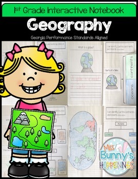
FREE Geography Interactive Notebook (1st Grade)
The Geography Interactive Notebook allows students to play an active role in their learning. The activities in this resource can be used to introduce or practice the Georgia Performance Standards:
SS1G2 The student will identify and locate his/her city, county, state, nation, and continent on a simple map or a globe.
SS1G3 The student will locate major topographical features of the earth's surface.
a. Locate all of the continents: North America, South America, Africa, Europe, Asia, Antarctica
Subjects:
Grades:
K - 2nd
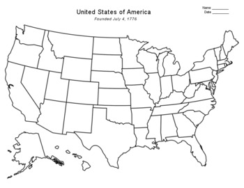
Free - Blank US Map
FREE - Blank US Map. A free, blank US map outline and a northeast-southeast region map. -------------------------------------------------------------------------------------------------------------And for one-stop shopping...SOCIAL STUDIESBundle - US History & US GeographyCalifornia & USA BundleFlorida & USA BundleNew York & USA BundleUS Presidents w/ 12 Graphic OrganizersState Report with Project and Speech - assignment sheetTexas & USA BundleUS States (50 internet
Grades:
PreK - 12th
Types:
Also included in: Top Sellers on TpT
Kids Printable Passport Template
Didn’t you always desire to travel the world? Travel to distant locations to learn about diverse cultures and taste new foods?Keep track of the nations you learn about with this printable passport for kids. As you stamp their passport, make them feel as if they’re traveling to another country.You can use this printable as a part of your 'Airport Dramatic Play' or any of your social studies projects. While physically visiting those nations may be challenging, specifically a time like today with t
Grades:
PreK - 5th, Staff
Types:
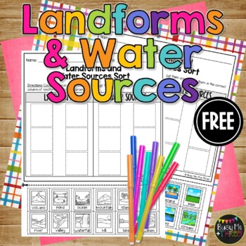
Landforms or Water Sources Sort Printable for Kindergarten or 1st Grade FREEBIE
This is a great landforms and water sources sort worksheet. This is perfect for a social studies lesson on natural resources for your kindergarten, first grade, or second grade students. Students will color the landform or water source at the bottom, cut them out, then sort them into the correct column. There are 6 landforms and 6 water sources to sort. This would be a fabulous review or grade!Guess what? We hit 15,000 followers on TPT! And to celebrate, I’m offering 15 days of freebies! It’
Grades:
K - 2nd
Types:
Me on the Map Student Book
This activity supplements a unit on communities. After learning about different communities and where you are on the map, the students create their own book showing where they are on the map. This activity is supposed to be completed after reading the story, Me on the Map. This lesson is geared for a class that reside in Illinois.
Unfortunately, with my busy schedule, I will not have time to make other editions and modifications upon request. However, I have posted another version with all the
Grades:
PreK - 2nd
Types:
Map Skills
The student will:Identify a map, globe, and compass roseUse a key to locate places on a mapUse cardinal directionsIdentify land and water featuresIdentify the United States, Washington DC, Virginia, and Richmond. *Leave this page out if you do not need to teach these skills.This is an easy print & go practice or assessment. This product covers Virginia Social Studies Standards K.4, K.5, K.6, K.7 and 1.5.
Subjects:
Grades:
K - 2nd
Types:
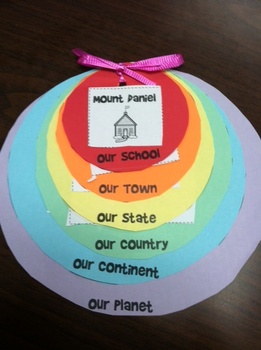
Me on the Map Circle Flip Book circles
These circles go along with my Me on the Map Flip Book. We copied them on colored paper to make a cute flip book which helped students recognize where we are in the world! Be sure to download the cut-outs as well!
Subjects:
Grades:
K - 2nd
Types:
FREEBIE Me on the Map Kindergarten and 1st Grade Activity Packet
Use this activity packet to teach students about their place in the world. This packet was created for kindergarten or first grade students to document their learning of where they live on planet Earth. This packet is for teachers in the United States and can be used for any State. Packet starts off with the whole planet and Zooms into child's home and room, but teacher may rearrange pages in opposite order before printing based on your classroom needs. What's on the Pages?:1: Cover page - me on
Subjects:
Grades:
K - 2nd
Types:
FREE Compass Rose Printable
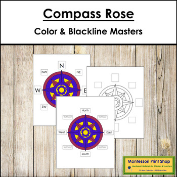
Compass Rose Printable - This material includes a variety of color charts, black & white charts, and color control charts of various sizes for the compass rose.Includes:1 simple compass rose worksheet & control chart (N,S,E,W)1 complete compass rose worksheet & control chart (N,S,E,W,NE,SE,SW,NW)1 simple compass rose worksheet & control chart (North, South, East, West)1 complete compass rose worksheet & control chart (North, South, East, West, North East, South East, Sout
Subjects:
Grades:
K - 3rd
Types:
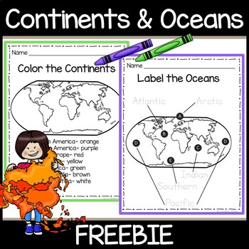
Continents & Oceans Free Worksheets- Color the 7 Continents- Trace the 5 Oceans
Introduce your young students to the 7 continents and 5 oceans! This free resource contains 2 worksheets. One worksheet asks students to color each continent a specific color. The second worksheet asks students to trace the names of the 5 oceans on a world map.You May Also Be Interested In:Continents Book- Color, Cut & Paste- 7 Continents 5 OceansContinents and Oceans Slide Shows for Google SlidesFor updates on future freebies, educational resources, and sales, please follow my store by clic
Subjects:
Grades:
PreK - 2nd
Types:
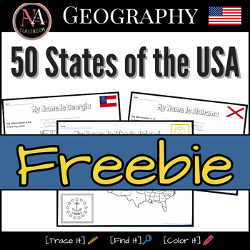
50 States of the USA FREEBIE Map and Flags Activity
This free printable includes the following U.S. states: Rhode Island, the smallest state.Alaska, the largest state.District of Columbia, the U.S. Capital.Activities include handwriting practice, locating states on the US map, and coloring state flags. Buy the FULL BUNDLE
Grades:
PreK - 2nd
Types:
Me on the Map - book and quiz (FREEBIE)
Me on the Map activity book and quiz. The last two pages can be a quiz to check if they learned the information from the books.
Subjects:
Grades:
K - 5th
Types:
Bodies of Water Activities
This little packet is an integration of social studies, writing, reading, and math!!! It focuses on 5 main bodies of water: lake, river, ocean, pond, and gulf I have included the following types of activities to help you teach: -writing definitions/characteristics of each -matching the name to picture -identifying the type of body of water and labeling -Count, Tally and graph -Writing response with question stems -body of water book with fill in the blanks (answer key included) -Guessing game-
Subjects:
Grades:
K - 2nd
Types:
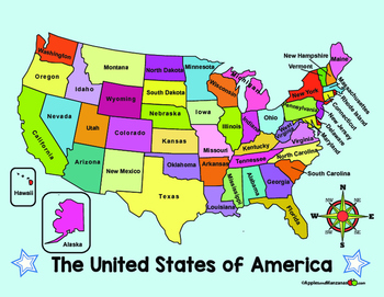
MAP of the US and COMPASS ROSE (in English)
ENGLISH VERSION of two full color maps of the US. One map lists the names of the states, the other map is left blank.
ALSO...One large compass rose and three smaller ones for display and projects.
Want it in SPANISH? Check out the free Spanish version in my store!
Subjects:
Grades:
PreK - 6th
Student Passport | World Travel
Travel the world with your students this year! They will love visiting different destinations around the world and having a passport to keep track of all they have learned and all they have seen! Use this product in conjunction with these!Trip to Hawaii BundleTrip to Africa BundleTrip to MexicoAlaska & Iditarod UnitIncluded in the download:-Passport cover page-6 Destination Logs (If you travel to more than 6 places you can just copy more pages!)Please let me know how you like it!
Grades:
PreK - 5th
Types:
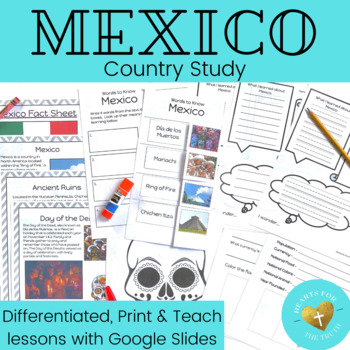
Mexico Country Study - Print & Teach Lesson - Reading Passages & Activity Pages
Take your learners on a tour of the world all from the comfort of your classroom! This print & teach country study teaches students about the beautiful country of Mexico. This product includes:4 pages of information to teach students basics about the country & cultureDifferentiated look back (or research) and color pageDifferentiated graphic organizer to record new learningDifferentiated words to know worksheetWord FindDay of the Dead art pageBlank world map to use to locate / color Mexi
Grades:
K - 3rd
Also included in: EPCOT's World Showcase Complete Country Study Unit Bundle - 11 week unit
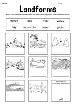
Landforms & Bodies of Water Picture Recognition Worksheet
Key vocabulary:oceanlakebayrivermountaindesertvalleyplain
Subjects:
Grades:
K - 3rd
Types:
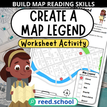
Create a Map Legend & Key Activity - Build Map Reading Skills
Engage students in map legend practice with this creative 1-page activity! Kids will love designing their own map symbols and key as they develop essential map reading skills.This resource includes:A map for labeling locations with student-created symbolsA legend box for matching symbols to map featuresGuiding instructions for drawing unique iconsColor and black & white versions includedStudents will reinforce geography concepts like map keys, symbols, and legends through hands-on practice.
Subjects:
Grades:
K - 5th
Types:
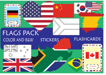
SUPER Flags pack!
In this pack, you will find resources to engage your students on the learning of the
most important countries, sorting by continents: America (EEUU, Canada, Brazil,
Mexico), Europe (UK, Spain, France, Germany, Russia), Africa (South Africa, Morocco, Egypt, Cameroon), Asia (Japan, China, India, South Korea), Oceania (New Zeland, Australia)
This pack includes:
- Flash cards
- Posters (Countries sorting by Continents; Colored and B&W)
- Stickers (flag, map and heart)
I hope that this resourc
Grades:
K - 12th, Higher Education
Showing 1-24 of 1,466 results


