804 results
Free preschool geography resources
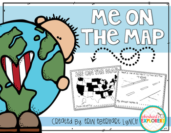
Me on the Map mini book
This book will help students understand the importance of map skills and give them a basic understanding of where they're located in relation to the world. Students will be introduced to the following words:
Country
State
Town/City
Street
House/Address
It's very simple and fun to do with students and is a great accompaniment for the Me on the Map book by Joan Sweeny.
Subjects:
Grades:
PreK - 2nd
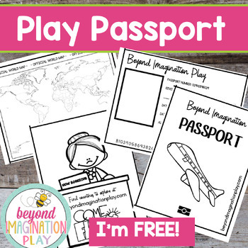
Free Play Passport | Passports Kids Printables | Around the World | Pretend Play
Now you can travel around the world in style with your lower elementary grade/ kindergarten/ special education learners. These pretend play passport pages have been designed to be used with my any of my Country Studies and Continent Studies. Simply color in each country as you finish exploring it.Exciting Note:All of our Country Studies (CLICK HERE) and Continent Studies (CLICK HERE) have been freshly updated in 2023 to have the most up-to-date information possible. Check them out and see if th
Grades:
PreK - 4th
Also included in: Continent Bundle - Spanish AND English Versions
FREEBIE: Make Your Own Treasure Map!
Pirate Treasure Map:
Get your students excited about learning about maps by having them make their own pirate treasure maps! This is a fun activity to accompany any unit on maps! Students will color and cut out the symbols. They will paste the symbols on their map and form a trail to the treasure! "X" marks the spot!!
~iHeart Teaching
Subjects:
Grades:
PreK - 3rd
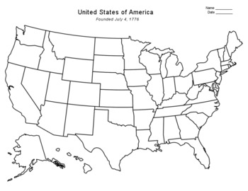
Free - Blank US Map
FREE - Blank US Map. A free, blank US map outline and a northeast-southeast region map. -------------------------------------------------------------------------------------------------------------And for one-stop shopping...SOCIAL STUDIESBundle - US History & US GeographyCalifornia & USA BundleFlorida & USA BundleNew York & USA BundleUS Presidents w/ 12 Graphic OrganizersState Report with Project and Speech - assignment sheetTexas & USA BundleUS States (50 internet
Grades:
PreK - 12th
Types:
Also included in: Top Sellers on TpT
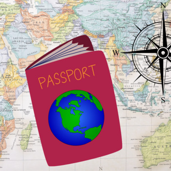
Kids Printable Passport Template
Didn’t you always desire to travel the world? Travel to distant locations to learn about diverse cultures and taste new foods?Keep track of the nations you learn about with this printable passport for kids. As you stamp their passport, make them feel as if they’re traveling to another country.You can use this printable as a part of your 'Airport Dramatic Play' or any of your social studies projects. While physically visiting those nations may be challenging, specifically a time like today with t
Grades:
PreK - 5th, Staff
Types:
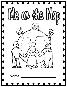
Me on the Map Student Book
This activity supplements a unit on communities. After learning about different communities and where you are on the map, the students create their own book showing where they are on the map. This activity is supposed to be completed after reading the story, Me on the Map. This lesson is geared for a class that reside in Illinois.
Unfortunately, with my busy schedule, I will not have time to make other editions and modifications upon request. However, I have posted another version with all the
Grades:
PreK - 2nd
Types:
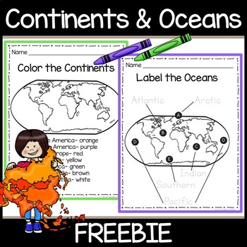
Continents & Oceans Free Worksheets- Color the 7 Continents- Trace the 5 Oceans
Introduce your young students to the 7 continents and 5 oceans! This free resource contains 2 worksheets. One worksheet asks students to color each continent a specific color. The second worksheet asks students to trace the names of the 5 oceans on a world map.You May Also Be Interested In:Continents Book- Color, Cut & Paste- 7 Continents 5 OceansContinents and Oceans Slide Shows for Google SlidesFor updates on future freebies, educational resources, and sales, please follow my store by clic
Subjects:
Grades:
PreK - 2nd
Types:
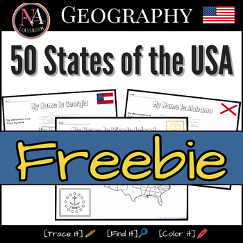
50 States of the USA FREEBIE Map and Flags Activity
This free printable includes the following U.S. states: Rhode Island, the smallest state.Alaska, the largest state.District of Columbia, the U.S. Capital.Activities include handwriting practice, locating states on the US map, and coloring state flags. Buy the FULL BUNDLE
Grades:
PreK - 2nd
Types:
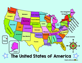
MAP of the US and COMPASS ROSE (in English)
ENGLISH VERSION of two full color maps of the US. One map lists the names of the states, the other map is left blank.
ALSO...One large compass rose and three smaller ones for display and projects.
Want it in SPANISH? Check out the free Spanish version in my store!
Subjects:
Grades:
PreK - 6th
Student Passport | World Travel
Travel the world with your students this year! They will love visiting different destinations around the world and having a passport to keep track of all they have learned and all they have seen! Use this product in conjunction with these!Trip to Hawaii BundleTrip to Africa BundleTrip to MexicoAlaska & Iditarod UnitIncluded in the download:-Passport cover page-6 Destination Logs (If you travel to more than 6 places you can just copy more pages!)Please let me know how you like it!
Grades:
PreK - 5th
Types:
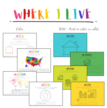
Where I Live Printable Book - Me On The Map
Your students will get to make their very own "Where I Live" book while learning all about geography!Includes:CoverMy PlanetMy ContinentMy CountryMy StateMy CityMy HomeMy AddressMy RoomTwo versions of each, color and black and white. If you love this, you'll probably love: About Me or My Body + Five Senses. Or the Handwriting Pack or Bible Memory Verses.Current Countries List:CanadaHong KongUnited States of America* Love this product? Follow me
Subjects:
Grades:
PreK - 2nd
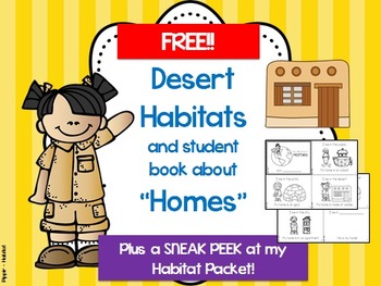
Habitats and Homes: FREE Desert Info and "Homes" Student Booklet
This is a sample of some of the activities taken from my 120+ page habitat packet. If you love it, purchase the entire packet HERE:
Habitats and Homes
The free sample includes:
-"I live in the desert" mini-poster
-Student "My Little Book of Homes"
-----Shows different people with different types of homes, such as:
----------house boat in the ocean
----------igloo in the arctic
----------adobe in the desert
----------barn on the plains (farm)
----------hut in the rainforest
----------apartment
Grades:
PreK - 1st
Types:
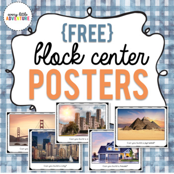
Block Center "Can You Build It" Posters
This freebie includes 5 signs for your classroom's block center. Your students can challenge themselves to see if they can build a house, a pyramid, a castle, a city, and a bridge!ALL IMAGES USED WITH PERMISSION.*****************************Looking for more ways to keep your preschoolers engaged? Try these hands-on activities! Bye Bye Fly We're Going on a Leaf Hunt!Apple Shape Sort GameBee Interactive Emotions Chart
Subjects:
Grades:
PreK - K
Types:
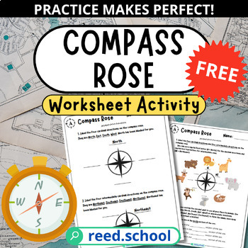
Free Compass Rose Practice | Cardinal & Intermediate Directions
Help students master compass roses, cardinal directions, and intermediate directions with this engaging 3-page free resource! Fun fill-in-the-blank activities provide scaffolded practice identifying North, South, East, West and more on compass roses.This free worksheet includes:Three pages of compass rose practiceActivities focused on cardinal and intermediate directionsFill-in-the-blank prompts for applying directionsUse this supplemental resource to reinforce directional concepts and compass r
Subjects:
Grades:
PreK - 3rd
Types:
Landforms Vocabulary Powerpoint
A simple powerpoint to introduce young or ESL students to landform vocaulary. Covers mountai, island, valley, ocean, river, and hill.
Subjects:
Grades:
PreK - 2nd
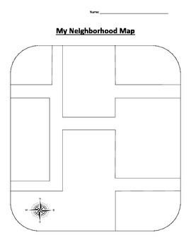
Neighborhood Map
Theme-Community
Introduce the word community to the students and explain that is formed by a group of people who work together and live in the same area (such as a city, town, or neighborhood). Students can then draw their home and other places that are close by their neighborhood so they can get a "sense of place".
Subjects:
Grades:
PreK - 3rd
Types:
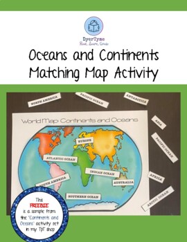
Continent and Ocean Matching Map Activity
What fun it is to study about our world! In this free download, you will have a world map of the oceans and continents! Children will be able to attach the labels to the map to identify each part. Velcro pieces are attached to the backs of the labels and to the oceans and continents of the map for a fun review activity.
Subjects:
Grades:
PreK - 4th
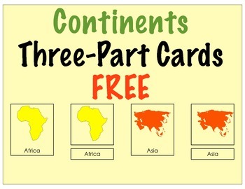
Continents Three Part Cards (FREE)
Montessori Nomenclature Continents Three Part Cards to teach a geography lesson on continents. Print and laminate cards. Lay the reference continent cards out, then put the matching continent cards and word cards in a tray or basket. Have the child match the continent cards and label them according to the reference card.
Included:
Reference card, Matching card, and word label
Everything is available both in color and black and white.
You can use the black and white cards as a coloring activit
Subjects:
Grades:
PreK - 3rd
Types:
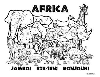
Africa -- Wildlife Coloring Page
A mix of wildlife from Africa!
Do you have zoo wild kids?
Infuse wild animal learning with geography, biology and wildlife conservation designed for kids with a Zoo Wild activity page.
Perfect for homeschool or as a station in class!
If you feel Zoo Wild: Visit our Store for discounted bundles!
Instead of $0.50 for one group, you can buy 17 groups for $2.50!: If you check out the Bundles!
Subjects:
Grades:
PreK - 3rd
Types:
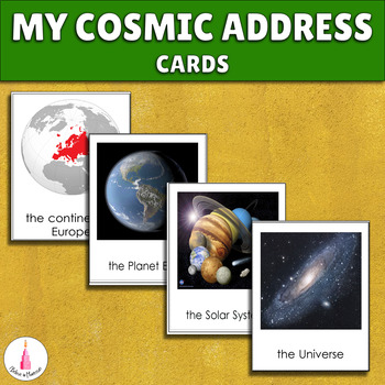
Me on the Map Activity - My Place in the World (Editable)
This Montessori material will help your students to learn their place on the map. They will remember where they are in the world and in the universe. It supports the Montessori principle of learning from general to specific, from big to small.You may also be interested in other good material that is connected with space theme:✔ Space Activities Bundle✔ Sequence of Planets Matching Cards + Montessori 3-part Cards✔ Sequence of Planets Matching Cards + Solar System Montessori 3-part CardsOpen the f
Subjects:
Grades:
PreK - 2nd
Types:
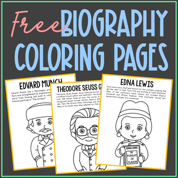
BIOGRAPHY COLORING PAGES | Social Studies Activity | History Posters | FREE
This FREE set of 4 coloring pages includes a sheet for Edna Lewis, Dr. Seuss, Edvard Munch, and Tim Berners Lee. These are an exclusive freebie and can't be found anywhere else in my store! CLICK HERE to follow my store so you'll be the first to know when I post new resources and freebies. Print 2 to 4 to a page to save paper, to turn into mini books or banners, and to make just the right size for interactive notebooks. Keep this in your early finisher folder for no-prep fun.CLICK HERE TO SAVE 5
Grades:
PreK - 5th
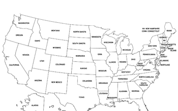
United States Map
United States Map.
FYI - For some reason the bottom is cut off a little.
Grades:
PreK - 12th, Higher Education, Adult Education
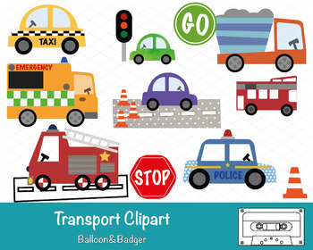
Transport Clipart
This pack of clipart contains 14 images including; Taxi, Ambulance, Fire Engine, Police Car, Bus, Stop & Go Signs, Construction Truck, Road textures and traffic lights.Each clipart illustration is included separately as a high resolution PNG file with a transparent background.Each object is provided at a size of approximately 12 Inches on its longest side and is at a high resolution (300 dots per inch). The PNG format allows it to be scalable to any size required. No watermarks will appear o
Subjects:
Grades:
PreK - K
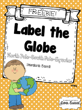
Label the Globe - FREEBIE
Standards based Kindergarten practice page.
K.SS.G.03 Locates North Pole, South Pole, and Equator.
Get your students familiar with global basics--north pole, south pole, and equator. This worksheet could be used as a launching point for a polar bear/penguin research project, or a discussion of global temperature patterns. Where is the earth warmest? Coldest? Why?
Use for morning work, bell work, independent practice, homework, centers, small groups, or assessment!
NO PREP! Simply print and us
Subjects:
Grades:
PreK - 3rd
Types:
Showing 1-24 of 804 results

