14 results
Geography graphic organizer interactive whiteboards
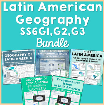
Latin American Geography BUNDLE SS6G1 SS6G2 SS6G3
This Latin American Geography GSE bundle includes resources for the SS6G1, SS6G2, and SS6G3 standards. Geography, environmental issues of Latin America, and how geography impacts trade and population are included topics. This resource should provide about 2.5-3 weeks of material, depending on the length and frequency of your classes. Topics Covered:SS6G1: continents, oceans, hemispheres, standards-based physical features and countries, academic vocabularySS6G2: environmental issues facing Mexic
Subjects:
Grades:
6th
Texas Symbols & Jose Antonio Navarro, Houston, Austin - SMARTboard
It's Texas Y'all - SMARTboard Learning Made FUN!!!
Everything you need to teach your kids about Texas on the Smartboard!
This in depth 35 page package includes a variety of slides to suit your students' ability levels. With both highly educational AND fun activities included, you will have everything you need to complete your Texas unit - and best of all - you get to just store the file on your computer for next year rather than trying to keep up with all of the paperwork!
CHECK OUT THE PREVIE
Grades:
PreK - 5th
Ancient Egypt Achievements and Inventions
This is a whole class lesson, or if your students are familiar with the Frayer Models (printed out) then they could do this in small groups. They have the inventions or achievements of ancient Egypt and Frayer Models to go with each one. This is a great way to introduce new ideas and information and get the students talking about the new topics.
Grades:
5th - 9th

Cribbs - Latin American Geography, Physical Features
SS6G1a. This lesson highlights the major physical features of Central America, South America and the Caribbean. It includes a handout and slides for quizzing locations. It works very well with a SmartBoard and can be used for introducing the geography, quiz games and review.
Grades:
4th - 10th
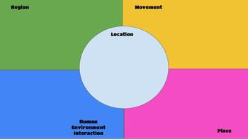
5 Themes of Geography
Students can show an understanding of the 5 themes of geography by putting the definitions in their own words and using visuals to support the answer. This can be used as an individual assignment and/or a formative assessment. It is a quick picture of their understanding.
Grades:
5th - 7th
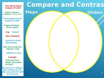
Maps and Globes Compare and Contrast_Interactive
Interactive,fun, and easy! to teach similarities and differences of maps and globes. This presentation and graphic organizer will help them learn in a fun way.
Subjects:
Grades:
3rd - 5th
Africa Unit & MAP Skills *Presentation Outlines* (Prep for pictures required)
This bundle is what I use to teach my Unit on African Kingdoms at the beginning of the school year. As I have had to delete the copyrighted material from these presentations, some prep is required. There is also a digital project outline example!
Grades:
4th

Cribbs - Latin American Geography, Countries - Presentation, Handout
SS6G1b. This lesson describes the location of Latin American countries. The countries highlighted are those of the Georgia State Standards for 6th grade. Included is a handout, as well as slides to quiz students on these countries' locations. The lesson works very well with a SmartBoard or MimioBoard. Great for introducing the geography, class activity or game, or review.
Subjects:
Grades:
4th - 10th

Geography - Mt. Everest foldable flipchart
This flipchart gives instructions and a visual model for the Mt. Everest foldable activity. Students will have to use outside sources to collect general information about Mt. Everest (Elevations, Cost, Sherpas, etc.). On the foldable itself, students will draw/attach several pictures, create a timeline, and draw the locations of the climbing camps, among other things.
Subjects:
Grades:
8th - 12th
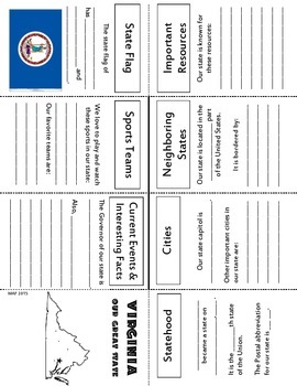
Virginia State History Pushbook
State history/information/current events about Virginia
Small, manipulative graphic organizer, with directions and suggested link for further information
Grades:
4th - 6th
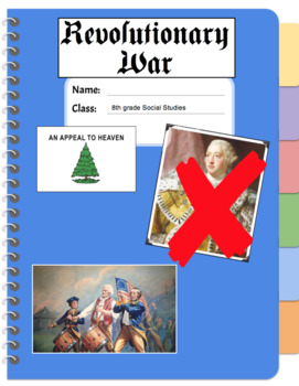
Revolutionary War E-Notebook for Powerpoint / Terms, People, Maps, Study Guide
This is the digital version of my Revolutionary War Notes Packet (Version 1). This covers the American Revolution from the First Continental Congress to the surrender of Cornwallis at Yorktown and the Treaty of Paris (1783). Students will enjoy using this fun, colorful template to take notes on the War for America's Independence. Please make sure you check out the Revolutionary War Powerpoint Slideshow below:Revolutionary War Powerpoint Here!Revolutionary War Notes Packet (Version 1) HereRevolut
Grades:
5th - 12th
Continents Graphic Organizer
Starting a unit on geography? Are you interested in having your students record information about each continent? This SMART file allows you to record information about each of the continents.
Subjects:
Grades:
K - 6th
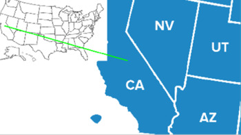
Clipart and Activity Pack - California
MICEActivityPacks provide activities for students to learn topic material by researching and assembling information, as well as thinking about the topic in a variety of ways. An activity pack includes printable activities, images for use in Google slides, and links to online activities and information resources. The online activities include Jeopardy, Memory, Jumble, Flashcards, as well as arcade-style games. The information resources include texts, image collections, and video collections.
Subjects:
Grades:
Not Grade Specific

Social Studies Land Regions Research Guide
This is a research guide for early elementary students to help them become independent learners through the use of this simple but effective guide. Students are provided a space for region,informational facts, and note the source for 4 categories. Great graphic organizer.
Subjects:
Grades:
1st - 3rd
Types:
Showing 1-14 of 14 results


