3 results
Geography workbook interactive whiteboards
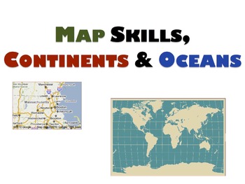
Geography Unit & Student Workbooks - Grades 1 & 2
This is a huge unit with 5 presentations and 3 student worksheets.
The unit covers:
Map skills:
- What is a map?
- Cardinal directions(north, south, east, west)
- Equator, north pole, south pole
Continents:
- 7 continents
- size order
- land
- animals
- facts
- location
Oceans
- 5 oceans
- names
- locations
The 3 student workbooks include activities for all topics above such as:
- fill-ins
- cut and paste names onto maps
- writing and identifying names of continents and oceans
-
Grades:
PreK - 2nd
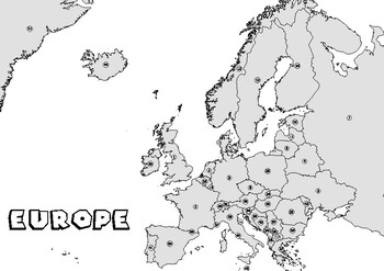
Continent Europe blank map Countries of Europe mute map Test
Continent Europe blank map Countries of Europe mute map TestLearn and find countries in Europe.Blank map without the names of the countries of the continent of Europe - ideal for learning the regional geography of the continent with the countries.________________________________________________________________World City MapsBooksPinterestInstagramFacebookTikToK
Grades:
5th - 8th, Higher Education
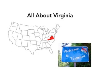
All About Virginia
Everything you need to launch a study on the state of Virginia! Two versions of a 25 page workbook/presentation. Designed to be projected on the board while students fill in the blanks in their workbooks with key terms. All of the "answers" are highlighted in red on the presentation slides.
Includes background history of the Thirteen Colonies/Jamestown, and when Virginia became a state. With an emphasis placed on geography, students will learn about the state capital, flag, seal, tree, flower,
Subjects:
Grades:
1st - 4th
Showing 1-3 of 3 results


