437 results
Free geography images
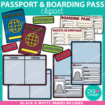
Passport And Boarding Pass Clipart & Editable File {FREEBIE}
Thank you so much for supporting my shop and providing me with wonderful feedback. I really appreciate you. I hope you enjoy this freebie! All of my fun FREEBIES are announced on my Instagram @dammgooddesign follow me to be the first to know about all the deals. - KelsieThis resource is so much more then just clipart. It includes and editable PowerPoint file so you can add your students name, photos, and travel stamps to the passports. These passports are a fun way to let your students "travel".
Subjects:
Grades:
3rd - 6th
Types:
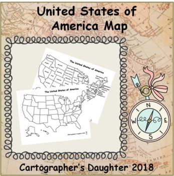
The United States of America Map
Blank and labeled map of The United States
Subjects:
Grades:
Not Grade Specific
Types:
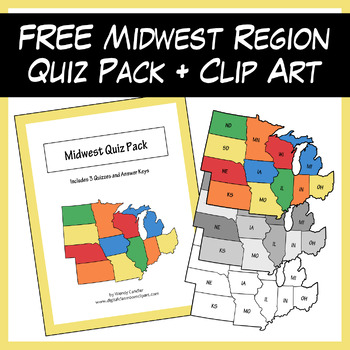
FREE Midwest Region Sample Pack (Quizzes + Clipart)
This pack is a free sample from the U.S. Regions & States Quiz + Clip Art Bundle and the new Color By State resource. It includes 6 self-grading Google quizzes, 3 printable PDF quizzes, 3 Color By State review worksheets, and 6 high-quality PNG images (unlabeled and with state abbreviations in color, grayscale, and lineart). The printable PDFs include numbered regional maps with the following assessment types:State names given – fill in the state numberState numbers given – fill in the state
Grades:
3rd - 6th
Types:
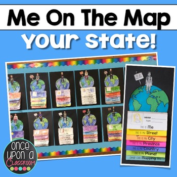
Me on the Map - Master Index
This is a master list of all the currently available "Me on the Map" state specific packs.Elevate your Local Community or Global Community units with this interactive flip book activity! Not only will students gain an understanding of their place in the world but you will have the BEST bulletin board display in the entire school showcasing their amazing learning! Parents LOVE seeing these at Open House!Each pack includes:1. Full page-by-page assembly instructions with photographs of an actual
Subjects:
Grades:
K - 3rd
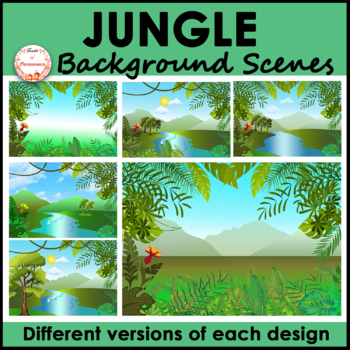
Jungle Forest Background Scenes Clipart | FREE
Are you looking for bright, unique, versatile, and high quality rainforest landscape background scenes? This set includes a variety of nature backgrounds for your PowerPoint, Boom Cards™ or Google Slides™ resources. It will save you tons of effort and time and make your resources stand out!What is included?✦A total of 6 jpeg images 1 includes tropical plants as a frame with a gradient background 1 includes tropical plants as a frame with a mountain view background 3 include river with trees (2 h
Grades:
Not Grade Specific
Also included in: Indoor and Landscape Outdoor Background Scenes Mega Bundle
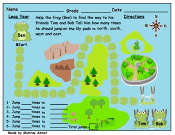
Leap Year Frog Themed Map Skill Directions Worksheet:
Leap Year Themed Map Skill Directions Worksheet:
Creative Commons License
Leap Year Themed Map Skill Directions Worksheet: by Mumtaz Azmat is licensed under a Creative Commons Attribution 4.0 International License.
Subjects:
Grades:
K - 3rd
Types:
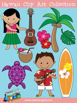
Hawaii Clip Art Collection
Our Hawaii Clip Art Collection has cute designs with a Hawaiian theme. There are 20 graphics (10 in color, 10 in black and white) in this collection. It includes a generous personal and commercial use license with no restrictions on how many times you can use the designs.The original graphics included in this collection of Hawaiian clip art are a ukulele, turtle, Hawaiian surfboard, red hibiscus flower, pink hibiscus flower, palm tree, monstera, hula girl in a hula skirt, Hawaiian boy in a Hawai
Grades:
Not Grade Specific
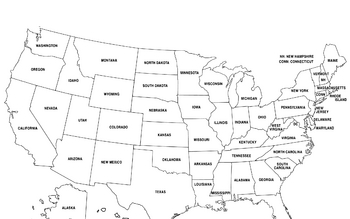
United States Map
United States Map.
FYI - For some reason the bottom is cut off a little.
Grades:
PreK - 12th, Higher Education, Adult Education
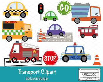
Transport Clipart
This pack of clipart contains 14 images including; Taxi, Ambulance, Fire Engine, Police Car, Bus, Stop & Go Signs, Construction Truck, Road textures and traffic lights.Each clipart illustration is included separately as a high resolution PNG file with a transparent background.Each object is provided at a size of approximately 12 Inches on its longest side and is at a high resolution (300 dots per inch). The PNG format allows it to be scalable to any size required. No watermarks will appear o
Subjects:
Grades:
PreK - K
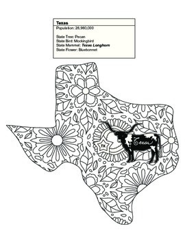
Black & White Texas Map Coloring Sheet. Contains State Facts
This Texas coloring sheet is part of a set of 20 of the United States. Some of the sets contain between 1 and 7 states.
Once colored children can cut out each of the pages and assemble their unique map. The finished coloring book is a fun educational tool to help children understand their country, including what animal, flower or object is represented by that state. Patterns range from beginner to intermediate. This is an excellent tool for geography teachers and parents alike.
Thank you for
Subjects:
Grades:
K - 9th
Types:
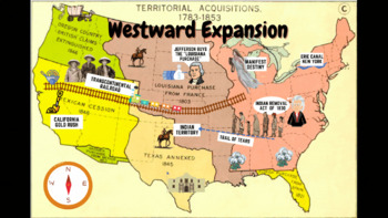
Westward Expansion Visualizer GIF
GIF (moving animated picture) showcasing major topics during the Westward Expansion unit. Based on NYS Social Studies standards, topics in GIF include Gold Rush, Indian Removal Act, Trail of Tears, Transcontinental Railroad, Louisiana Purchase, Erie Canal, and Manifest Destiny.Totally FREE for YOU!
Grades:
5th - 12th
Types:
CCSS:
9-piece printable world map for the wall
If you have ever wanted to print a world map for your wall, or a big map for students to color, this map prints on 9 sheets of paper (3x3) to give a final map of 21x30 inches. It has dashed lines to show you where to cut and solid edges around the border. The files is 10 pages total, and the last page is the original map that I expanded. The world map is royalty-free and downloaded from Niche Gallery. I love the huge maps from Owl and Mouse maps (check them out!) but my printer does not print to
Grades:
Not Grade Specific
Types:
**Free** World Political & Hydrography Blank Map **Barebones Map Series**
**Geography Bare Bones Map Series**This blank WORLD MAP is ready for students to color, label, or use at the teacher's whim. This item was created using open-source maps, Adobe Illustrator, and Autodesk Sketchbook by the Human Imprint. This bare bones series is inspired by the teacher's never-ending quest to find the perfect blank map.Files are in .png format so that you can bring in to Word and stretch to your needs. I've found that .3'' margins (all sides) within Word's page setup, is the furt
Grades:
Not Grade Specific
Types:
North America Fully Editable Maps for Google Slides & PowerPoint ~ FREEBIE!
NORTH AMERICA EDITABLE MAP PACK is perfect for creating fun / interactive digital or physical resources like worksheets, presentations, activities, and quizzes for students online or in the classroom! Digital World Maps come in PowerPoint, Keynote, and PDF formats and are compatible with Google Slides.NORTH AMERICA MAP PACK INCLUDES:x18 Fully Editable / High Quality HD Mapsx6 Unique Themes / Templates & x3 different map variants for each mapx4 Different Formats (PowerPoint / Keynote / PDF /
Grades:
PreK - 12th, Higher Education, Adult Education, Staff
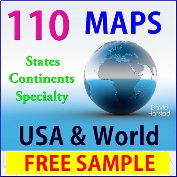
FREE - Geography USA Map
FREE - Geography USA Map. One USA outline map.(Resize or outline in Sharpie for any clarity issues.) _______________________________________________USA Map is a freebees printables from Geography | 110 Maps | USA & World, which includes the following: USA (28)• USA – 13 Colonies• USA – Civil War 1860• USA – Electoral Map• USA – Federal Land• USA – Goat Population• United States of America (abbreviations)• USA – Major Cities & Interstates• USA – Major Cities• USA – Major Cities• USA –
Grades:
K - 12th
Types:
Also included in: Top Sellers on TpT
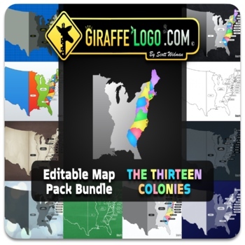
13 Colonies Fully Editable Maps for Google Slides & PowerPoint ~ FREEBIE!
13 COLONIES EDITABLE MAP PACK is perfect for creating fun / interactive digital or physical resources like worksheets, presentations, activities, and quizzes for students online or in the classroom! Digital World Maps come in PowerPoint, Keynote, and PDF formats and are compatible with Google Slides.13 COLONIES MAP PACK INCLUDES:x19 Fully Editable / High Quality HD Mapsx7 Unique Themes / Templates & x3 different map variants for each mapx4 Different Formats (PowerPoint / Keynote / PDF / PNG)
Grades:
PreK - 12th, Higher Education, Adult Education, Staff
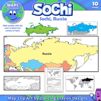
Maps of Sochi / Russia: Clip Art Map Set
Free clip art maps of Sochi and Russia.
Map Collection: Sochi, Russia
Do your students know where Sochi is?
With the 2014 Winter Olympics soon to begin, here’s an opportunity to teach your students more about the city of Sochi and its location in Russia. The set includes a bonus student worksheet.
This clipart map set contains the following commercial use graphics:
- Color maps of Russia showing the location of Sochi
- Black and white line art maps of Russia
- Map of the world with Russia
Grades:
3rd - 12th
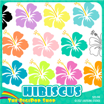
FREE hibiscus clipart// .png files - black and white included
12 Hawaiian clip art flowers in tropical colors. Package includes black & white/toner-friendly version for easy printing.
Use for Hawaii/geography lessons, class parties or Luau decorations, to decorate worksheets, or just for fun! Clip art can also be used for TpT products with credit.
You might also like Hibiscus digital paper, the matching background pattern.
YOU WILL RECEIVE:
12 .png files, transparent backgrounds
6" diameter, may be reduced to any smaller size
300 dpi for excellen
Subjects:
Grades:
Not Grade Specific
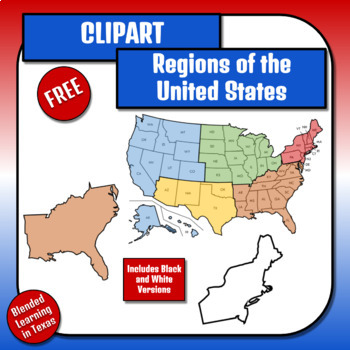
FREE - United States Regions Clipart
This product is included in the following bundle.All images are PNG format with transparent backgrounds. This listing includes color and black and white versions of the following:-US map labeled with states-Completed US regions map-West-Southwest-Midwest-Southeast-NortheastIf you liked these images then check out my clipart for the physical features of the U.S.These images can be used for commercial use on TpT without crediting me (however credit is always appreciated). Outside of TpT credit mus
Subjects:
Grades:
4th - 6th
Types:
Also included in: United States Clipart Growing BUNDLE
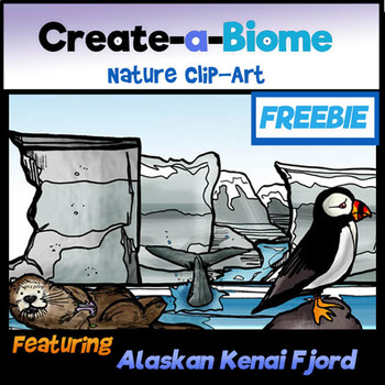
FREEBIE Create a Biome Clip-Art- Alaskan Kenai Fjords!
By teacher request! MAKE YOUR OWN SCENE! This unique clip art set features a variety of scenic elements for Science and Social Studies use! Pick and choose elements! Move from foreground to background! Use pieces separately or combine to create realistic scenes! Each biome or habitat is based on a REAL specific location featuring native plants and animals!
This set features the Alaskan Kenai Fjords habitat!
Enjoy 7 color and 7 BW clip-art pieces to compliment your TPT products or classro
Subjects:
Grades:
3rd - 6th
Also included in: Science and Math Growing BUNDLE: Lifetime License Clip-Art Collection
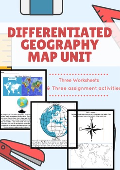
Differentiated Geography Map Unit Preview
Hello all!
This is unit focused on the big picture elements of 4th grade Geography/History unit about Maps. The free element is the first page of this 6 page workbook! These worksheets were created for a special education student with significant disability in the fourth grade to have the same exposure to our classical common core aligned curriculum. With that being said, these worksheets and homework sheets (three info sheets and three homework sheets) can be used from 1-4th graders or for spe
Subjects:
Grades:
1st - 4th
Types:
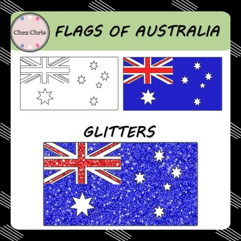
Clip Art - Flags of Australia FREEBIE
In this set, you will find 3 flags of Australia:
- a blank flag
- a colored flag
- glitter Australian flag
High quality: 300 dpi / PNG format
Related Item:
Maps of Australia
◈ ◈ ◈ ◈ ◈ ◈ ◈ ◈ ◈ ◈ ◈ ◈ ◈ ◈ ◈ ◈ ◈ ◈ ◈ ◈ ◈ ◈ ◈ ◈ ◈ ◈ ◈ ◈ ◈ ◈ ◈ ◈ ◈
USAGE ©️
This product is for your personal use and your commercial purposes.
It is to be used by the original downloader only. Copying or distributing for more than one teacher is prohibited. Please read TOU.
FOLLOW ME
Be the first to know about my new p
Grades:
Not Grade Specific
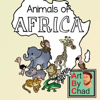
Freebie African Animal Clip Art and Line ArtByChad
10 African Animals for your students to color and enjoy! All 10 Animals have a line art (colorable) and clip art version, both of which are PNGs with transparent backgrounds. Animals included: Crocodile, Elephant, Giraffe, Hippo, Jaguar, Lion, Monkey, Ostrich, Vulture, and Zebra. OK for commercial use (terms of use included) Please leave feedback and thanks for stopping by! -ArtByChad
Subjects:
Grades:
PreK - 2nd
Types:
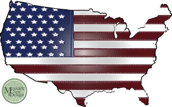
USA Map with Flag Clip Art {Messare Clips and Design}
Check out the complimenting sets at the MCD TpT Store. This freebie has 3 maps with American flag pattern. All maps can be scaled to 20 x 30 inches and retain their quality. Enjoy!
Possible project and activity uses:
Veterans Day, Flag Day, Presidents Day, Memorial Day, 4th of July or just to add some patriotic flare to your classrooms!
Click to see the set of World Maps with Longitude and Latitude Overlays {Messare Clips and Design}
Click to see the set of USA and North America Maps {Mess
Grades:
Not Grade Specific
Showing 1-24 of 437 results


