78 results
Free geography activboard activities
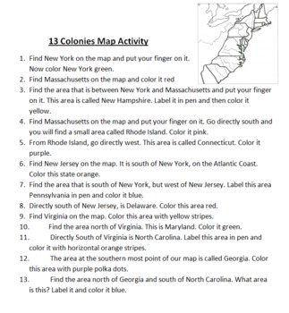
13 Colonies Map Activity
This is a simple mapping activity for Colonial America. I've included instructions for finding the different colonies and how they are to color them. The instructions include using directions like north, south, east, and west. All you need to provide is your favorite map of the 13 colonies to use.
Also included is mnemonic for remembering the 13 colonies and a bonus point for drawing a picture of this mnemonic.
I give each student their own map and instruction sheet. I then have students take
Subjects:
Grades:
4th - 5th
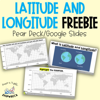
FREEBIE Latitude and Longitude Map Geography Skills Google Slides Pear Deck
Looking to teach your students the basics of latitude and longitude? Look no further than these interactive Pear Deck slides! This engaging lesson will teach students how to identify lines of latitude and longitude, as well as the Equator and Prime Meridian. With activities that challenge students to determine the definitions of Longitude and Latitude, and opportunities to create and call out a list of locations on a world map using Google Earth or an atlas (not included), this lesson is designe
Grades:
5th - 9th
Types:
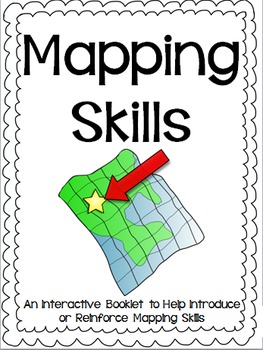
Mapping Skills Interactive Reader, Student Booklet, Assessment AMERICAN Version
Use this interactive reader to introduce mapping terminology and have students practice the skills learned by completing a similar booklet. You could print the reader and use it as a book or project it onto a white board, Smart Board, or Activboard (whatever you have!). I used this in my classroom and the students enjoyed following along and filling in their own papers to match the reader. The booklet has been designed to be printed back to front, cut in half and stapled, with page numbers to gu
Subjects:
Grades:
2nd - 5th
Basic Landforms PowerPoint
This is a simple and basic Power Point file that gives students some great visuals for an introduction to landforms. It includes landforms such as valley, prairie, peninsula, bay, canyon, butte, lake, river and gulf among several others. Each slide gives the name, a large visual and a description of each landform.This is great for 2nd-4th graders!
For upper elementary grades, this could be a great review slideshow and certainly expanded upon.
Subjects:
Grades:
2nd - 4th
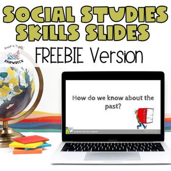
Middle School Geography, Timeline, Map Skills Google Slides Pear Deck FREEBIE
Looking to teach your students the fundamentals of historical and archaeological thinking? Look no further! Our comprehensive lesson plan covers key Geography Skills and Timeline Skills while introducing students to a variety of sources through interactive Pear Deck slides. With mixed-level questions to guide instruction, this lesson is designed to challenge and engage students at every level. Plus, students will have the opportunity to practice important ELA skills such as identifying domain-sp
Grades:
6th - 8th
Types:
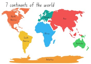
7 Continents of the World Printable Puzzle
DIY Printable Puzzle - 7 Continents of the world
Subjects:
Grades:
Not Grade Specific
Georgia Regions: Appalachian Plateau Virtual Field Trip ***FREEBIE***
I am so excited to start using these virtual field trip videos in my classroom! Such a wonderful way to show students pictures of a region without actually visiting!
Georgia Performance Standards (GPS)-5 Georgia Regions
This video is 2 minutes and 20 seconds.
This is a freebie which shows the Appalachian Plateau...coming soon: Blue Ridge Region, Ridge and Valley, Piedmont, and Coastal Plain. Let me know how you like it! Enjoy!
If you are interested in all five videos, you can click here to pur
Grades:
2nd - 3rd
Types:
Cardinal Directions
MIMIO ink file
Cardinal Directions
Guide your vessel to the treasure using the Cardinal directions North, South, East, and West. Plan your route carefully to avoid landforms, and pirates! Try and reach the treasure using the fewest moves possible.
SS.K.G.1.3 Identify cardinal directions (north, south, east, west).
SS.K.G.1.1 Describe the relative location of people, places, and things by using positional words. 7
Grades:
K - 3rd

Paris Interactive Map Activity- Travel to France
This activity offers students the opportunity to embark on a virtual tour of Paris. Students will navigate an interactive Google map that I personally created, which is publicly accessible. The map features markers hovering over 12 significant landmarks in Paris. When a student clicks on a marker, a photo and a brief description of the landmark will appear. Students will then complete a provided worksheet by extracting information from the virtual tour. The worksheet consists of two parts:1. In
Subjects:
Grades:
10th - 12th, Adult Education
Mapping Skills Interactive Reader, Student Booklet, Assessment CANADIAN Version
Use this interactive reader to introduce mapping terminology and have students practice the skills learned by completing a similar booklet. You could print the reader and use it as a book or project it onto a white board, Smart Board, or Activboard (whatever you have!). I used this in my classroom and the students enjoyed following along and filling in their own papers to match the reader. The booklet has been designed to be printed back to front, cut in half and stapled, with page numbers to gu
Subjects:
Grades:
2nd - 5th
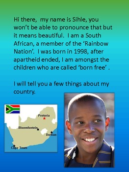
South Africa-My Country
South Africa-My Country is a short, simple and colourful introduction to a study of South Africa. It focuses on the beauty and diversity of South Africa. It would serve as a good starting point fort a study of South Africa. It is 16 pages long and it could be printed out in booklet form or ot could be displayed on an active board.
Subjects:
Grades:
4th - 6th
Mapping Skills Interactive Reader, Student Booklet, Assessment GENERIC Version
Use this interactive reader to introduce mapping terminology and have students practice the skills learned by completing a similar booklet. You could print the reader and use it as a book or project it onto a white board, Smart Board, or Activboard (whatever you have!). I used this in my classroom and the students enjoyed following along and filling in their own papers to match the reader. The booklet has been designed to be printed back to front, cut in half and stapled, with page numbers to gu
Subjects:
Grades:
2nd - 5th
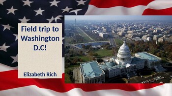
Washington D.C. Digital Field Trip
Take your students on a digital field trip via powerpoint! Includes videos and live webcam links to some of the most popular spots in D.C.
Subjects:
Grades:
1st - 8th
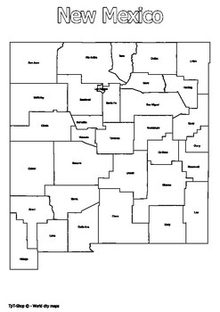
New Mexico State Map with Counties Coloring and Learning
Click Here>>> for more interactive resourcesNew Mexico State Map with Counties Coloring and LearningWelcome to our interactive educational resource - a detailed map of the state of New Mexico with its counties! This vibrant and informative map is specifically designed to support learning and exploration of New Mexico state geography in an engaging way.How You Can Use This Resource:Educational Activities: Introduce New Mexico state geography in an engaging way in your geography or histor
Grades:
PreK - 12th, Higher Education
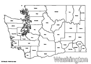
Washington State Map with Counties Coloring and Learning
Click Here>>> for more interactive resourcesWashington State Map with Counties Coloring and LearningWelcome to our interactive educational resource - a detailed map of the state of Washington with its counties! This vibrant and informative map is specifically designed to support learning and exploration of Washington state geography in an engaging way.How You Can Use This Resource:Educational Activities: Introduce Washington state geography in an engaging way in your geography or histor
Grades:
PreK - 9th, Higher Education
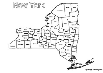
New York State Map with Counties Coloring and Learning
Click Here>>> for more interactive resourcesNew York State Map with Counties Coloring and LearningWelcome to our interactive educational resource - a detailed map of the state of New York with its counties! This vibrant and informative map is specifically designed to support learning and exploration of New York state geography in an engaging way.How You Can Use This Resource:Educational Activities: Introduce New York state geography in an engaging way in your geography or history lesso
Grades:
PreK - 12th, Higher Education, Adult Education
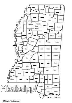
Mississippi State Map with Counties Coloring and Learning
Click Here>>> for more interactive resourcesMississippi State Map with Counties Coloring and LearningWelcome to our interactive educational resource - a detailed map of the state of Mississippi with its counties! This vibrant and informative map is specifically designed to support learning and exploration of Mississippi state geography in an engaging way.How You Can Use This Resource:Educational Activities: Introduce Mississippi state geography in an engaging way in your geography or hi
Grades:
PreK - 12th, Higher Education, Adult Education
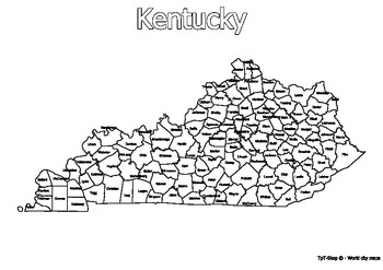
Kentucky State Map with Counties Coloring and Learning
Click Here>>> for more interactive resourcesKentucky State Map with Counties Coloring and LearningWelcome to our interactive educational resource - a detailed map of the state of Kentucky with its counties! This vibrant and informative map is specifically designed to support learning and exploration of Kentucky state geography in an engaging way.How You Can Use This Resource:Educational Activities: Introduce Kentucky state geography in an engaging way in your geography or history lesson
Grades:
PreK - 12th, Higher Education, Adult Education
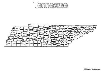
Tennessee State Map with Counties Coloring and Learning
Click Here>>> for more interactive resourcesTennessee State Map with Counties Coloring and LearningWelcome to our interactive educational resource - a detailed map of the state of Tennessee with its counties! This vibrant and informative map is specifically designed to support learning and exploration of Tennessee state geography in an engaging way.How You Can Use This Resource:Educational Activities: Introduce Tennessee state geography in an engaging way in your geography or history le
Grades:
PreK - 12th, Higher Education
VS2 Geography of Virginia
This colorful, engaging, and interactive lesson will have your students excited to learn about Virginia's Geography. The lesson helps to set the tone for the exciting year about to come!Topics included: Locating Virginia and its bordering states on maps of the United States; Locating and describing Virginia’s Coastal Plain (Tidewater), Piedmont, Blue Ridge Mountains, Valley and Ridge, and Appalachian Plateau; Locating and identifying water features important to the early history of Virginia (Atl
Subjects:
Grades:
3rd - 6th
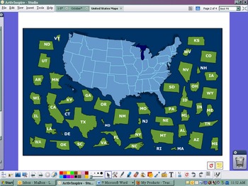
USA Postcard Exchange Flipchart
This flipchart was set up to use with the postcard exchange I signed up with. There is a US map with names and a US map puzzle. There is a link to the google maps that has all of our addresses around the US. Lastly, there is a postcard blank to model write what you are going to put on each postcard that you send out.
Subjects:
Grades:
PreK - 8th
Types:

Ancient Egypt Pathfinder
This pathfinder has a compilation of the best online resources available on Ancient Egypt.
Ancient Egypt Pathfinder by Johana Zegarra is licensed under a Creative Commons Attribution-NonCommercial-ShareAlike 4.0 International License.
Subjects:
Grades:
3rd - 7th
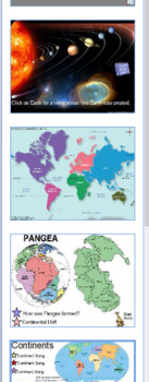
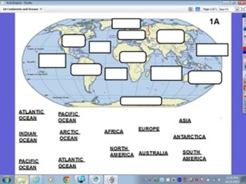
Continents
This is a short flipchart that has one page about Earth, continent map, Pangea page, continent page, oceans page, and four student note pages.
There are links to videos and songs - listed in note portion if you can't find them.
Earth page - 2 links (one to Tumblebooks)
Continent map - no links
Pangea page - 2 links
Continent page - 7 links (plus 7 more links but those are to TrueFlix)
Ocean page - 3 links
A few links need accounts with TrueFlix and Tumblebooks but this has plenty of links th
Subjects:
Grades:
2nd - 5th
Types:
Showing 1-24 of 78 results


