128 results
Free geography interactive whiteboards
Landforms Vocabulary Powerpoint
A simple powerpoint to introduce young or ESL students to landform vocaulary. Covers mountai, island, valley, ocean, river, and hill.
Subjects:
Grades:
PreK - 2nd
Mapping Skills Interactive Reader, Student Booklet, Assessment AMERICAN Version
Use this interactive reader to introduce mapping terminology and have students practice the skills learned by completing a similar booklet. You could print the reader and use it as a book or project it onto a white board, Smart Board, or Activboard (whatever you have!). I used this in my classroom and the students enjoyed following along and filling in their own papers to match the reader. The booklet has been designed to be printed back to front, cut in half and stapled, with page numbers to gu
Subjects:
Grades:
2nd - 5th
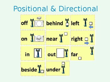
Positional and Directional Words Lesson Materials/Activities
Throughout the learning segment, students will build upon their understanding of geographic terms and representations using the themes of geography (e.g., location, place, human-environment) to describe and identify their surroundings. Moreover, the lessons will focus on positional and directional words including the following terms: in, on, out, under, off, beside, behind, near, far, left, and right.
This product includes:
Positional and directional words cards
Kid-friendly videos
Interacti
Subjects:
Grades:
PreK - 1st
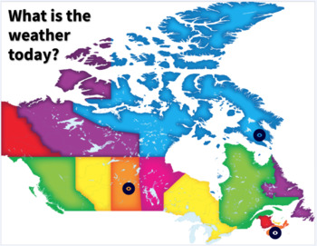
Grade 2 Alberta Social Studies/Science - What is the Weather?
This interactive PDF-linked document goes nicely with the Grade 2 Social Studies and Science curriculum. You can look at each community's weather (Meteghan, Saskatoon, and Iqaluit. You can also compare the weather of all 4 communities, which is nicely linked to Science - Hot and Cold Temperatures.Click on the icon marker on the map and it will open up a link to the Weather Network. This resource works perfectly with the Hot and Cold TemperaturesYou have the choice to look at each community se
Subjects:
Grades:
2nd
Types:
Also included in: Alberta Grade 2 Social Studies Bundle - ALL UNITS
U.S. Regions and Landforms
This 14 slide presentation is a great way to either introduce or review the United States regions and landforms. There are beautiful pictures to go along with each definition of one of the landforms. This is to help your students have a better idea of what you are trying to describe to them. The landforms include plains, mountains, plateaus, deserts, and canyons. Some of the landforms even have more than one picture to go along with the slide. There is also a map of the Unites States that has th
Subjects:
Grades:
2nd - 4th
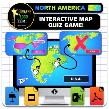
North America Interactive World Geography Game & Map Quiz ~ FREEBIE!
The North America Interactive Map Quiz Game is the absolute coolest way to learn Geography both in and out of the classroom! No Prep required, simple and easy to use, just open up document and let the learning begin! Each Map Quiz includes x14 slides for all x4 countries + regions in North America! Maps are engagingly themed to spark students interest, work great for fun class wide review games or individual practice of geography skills, is perfect for in person or online learning, and can even
Grades:
4th - 10th
Also included in: Entire World Interactive World Geography Game & Map Quiz ~ MEGA BUNDLE!
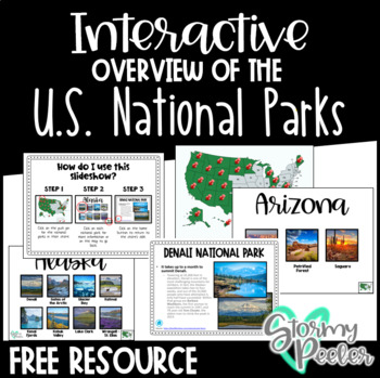
U.S. National Parks - Interactive Slideshow
An interactive slideshow about the United States National Parks which includes pictures and an interesting fact about each.
Subjects:
Grades:
K - 12th
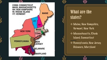
Northeast Region of United States Presentation FREEBIE
This product gives information about the Northeast Region of the United States, including maps, photographs, & information pertaining to each state of the region.
This presentation is a FREEBIE and if you like this product, please go to my "It's A Vaughnderful Classroom" to check out the whole bundle.
Included with the bundle is a presentation of each of the five regions including: the West, Midwest, Southeast, Southwest, and Northeast regions.
Grades:
2nd - 8th
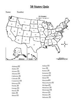
50 states practice
The students for some reason love practicing and taking tests on the computer! This was created using the forms feature of Microsoft word. You can also put this on your interactive whiteboard and let the kids do the rest! Download the free example to check it out!
By PowerPoint Maniac
*******************************************************
Check out my other Social Studies Products!
Underground Railroad Activity
Australia Map and Timeline lesson
China and Chinese New Year unit
Community stud
Subjects:
Grades:
2nd - 6th
Types:
Cardinal Directions
MIMIO ink file
Cardinal Directions
Guide your vessel to the treasure using the Cardinal directions North, South, East, and West. Plan your route carefully to avoid landforms, and pirates! Try and reach the treasure using the fewest moves possible.
SS.K.G.1.3 Identify cardinal directions (north, south, east, west).
SS.K.G.1.1 Describe the relative location of people, places, and things by using positional words. 7
Grades:
K - 3rd
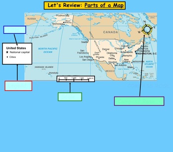
Map Scale and Distance
This is a lesson on measuring distances on a map using a map scale. This would fit nicely in a Map Skills Unit. Distances can be measured by marking the start and end point on a card, and then using a ruler to measure the actual distance.
This work is licensed under a Creative Commons Attribution 3.0 Unported License.
Subjects:
Grades:
2nd - 4th
Types:
Georgia Regions: Coastal Plains
Georgia Region Coastal PlainsThis is a 5 part powerpoint series about the 5 Georgia Regions. Your students will love this very interactive lesson that encourages discussion, predictions, and critical thinking. Have fun watching a live video about one of the animals in this region while discussing it's importance. This is great for 2nd and 3rd grade Georgia Social Studies Standards for geography or science.**Assessment IncludedYou may also buy my entire Georgia Regions and Habitats Mega PowerPoin
Subjects:
Grades:
2nd - 3rd
'What is Oceania?' Geography Lesson
PowerPoint slide show for Middle School Geography lesson on Oceania. Lesson includes 26 slides, vocabulary terms, maps, pictures, discussion questions, final quiz and essay assignment. Terms covered are Oceania, Australia, New Zealand, Melanesia, Micronesia, Polynesia, atoll and lagoon.
Subjects:
Grades:
5th - 8th
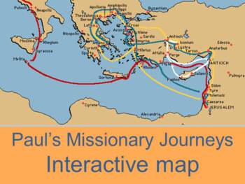
Interactive map of Paul's missionary journeys
Three maps (one on each page for each journey) by Kathy ApplebeeInteractive map of Paul's three missionary journeys in the book of Acts.Mouse over the red triangle next to the city and the corresponding scripture reference or summary will pop up.Sheet one contains map and questions for first tripSheet 2 contains map and questions for second journeySheet three contains Paul's third journey. Click tabs to open new map.Check out other geography productsWorld Geography: Human Impact Power PontMap o
Subjects:
Grades:
Not Grade Specific
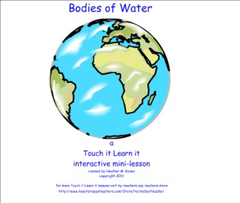
Bodies of Water - a Touch it Learn it Interactive Mini-lesson
Touch it Learn it Interactive Mini-lessons are designed to increase student engagement by using the Smartboard multimedia device. This is the 1st in a series of products that teachers will be able to purchase from my store. Students will be able to distinguish between sources of saltwater and freshwater using the reveal and vortex sort features of Smart Notebook. This file also contains printables that students can cut and paste to create their own Venn diagram.
Note: This product is a .zip f
Subjects:
Grades:
2nd - 4th
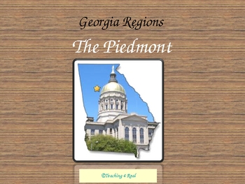
Georgia Regions: Piedmont Region
Georgia Piedmont RegionThis is a 5 part powerpoint series about the 5 Georgia Regions. Your students will love this very interactive lesson that encourages discussion, predictions, and critical thinking. Have fun watching a live video about one of the animals in this region while discussing it's importance. This is great for 2nd and 3rd grade Georgia Social Studies Standards for geography or science.**Quiz at the endYou may also buy my entire Georgia Regions and Habitats Mega PowerPoint Lessons
Subjects:
Grades:
2nd - 3rd
4th Grade Virginia Studies Exit Tickets
This is a free sample of a product.I developed these as a quick, easy way to get a whole class look at their understanding of a past, present, or upcoming standard (Use past months for review and future to distinguish between who may or may not know the concept). I use these in a few ways (but not limited to): 1) I have a “Parking Lot” in my room for them to put Post-it notes with their answers as they leave the room. 2) The back cover of their planner is white and laminated, so they can write
Subjects:
Grades:
4th
Georgia Regions: Mountains
Georgia Habitats & Regions MountainsThis is a 5 part powerpoint series about the 5 Georgia Regions. Your students will love this very interactive lesson that encourages discussion, predictions, and critical thinking. Have fun watching a sound clip about one of the animals in this region and browsing through a photo album of pictures to promote discussion.This is great for 2nd and 3rd grade Georgia Social Studies Standards for geography or science.You may also buy my entire Georgia Regions an
Subjects:
Grades:
2nd - 3rd
Mapping Skills Interactive Reader, Student Booklet, Assessment CANADIAN Version
Use this interactive reader to introduce mapping terminology and have students practice the skills learned by completing a similar booklet. You could print the reader and use it as a book or project it onto a white board, Smart Board, or Activboard (whatever you have!). I used this in my classroom and the students enjoyed following along and filling in their own papers to match the reader. The booklet has been designed to be printed back to front, cut in half and stapled, with page numbers to gu
Subjects:
Grades:
2nd - 5th
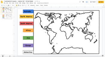
7 continents & 5 oceans sort
On google slides, have students manipulate the text boxes to label the continents and oceans.
Subjects:
Grades:
3rd
Types:
Latitude and Longitude SMART Notebook lesson
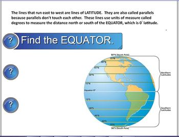
This is an elementary SMART Notebook lesson on latitude longitude. Background information, links, and activities and assessment will help your students understand latitude, longitude, and the coordinate system. A SMART response quiz is included to help you assess student learning.
Grades:
3rd - 5th
Types:
Georgia Regions: Swamps and Marshes
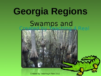
Georgia Habitats & Regions Swamps & MarshesThis is a 5 part powerpoint series about the 5 Georgia Regions. Your students will love this very interactive lesson that encourages discussion, predictions, and critical thinking. Have fun watching a live video about one of the animals in this region while discussing it's importance. This is great for 2nd and 3rd grade Georgia Social Studies Standards for geography or science.You may also buy my entire Georgia Regions and Habitats Mega PowerPoi
Subjects:
Grades:
2nd - 3rd
Georgia Regions: Ocean, Barrier Islands
This is a 5 part powerpoint series about the 5 Georgia Regions. Your students will love this very interactive lesson that encourages discussion, predictions, and critical thinking. Have fun watching a live video about one of the animals in this region while discussing it's importance. This is great for 2nd and 3rd grade Georgia Social Studies Standards for geography or science.You may also buy my entire Georgia Regions and Habitats Mega PowerPoint Lessons Bundle for only $11.00. That's all 5 reg
Subjects:
Grades:
2nd - 3rd
Geography: North Pole, South Pole and the Equator
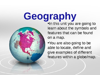
This presentation is a great way to introduce a geography unit. It is a brief presentation that provides visuals,along with some audio, to make learning about the North Pole, South Pole and the Equator exciting.
Grades:
1st - 3rd
Showing 1-24 of 128 results

