325 results
2nd grade geography resources on sale
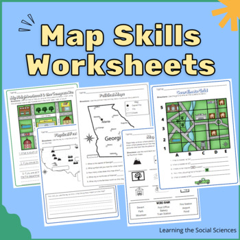
Map Skills Worksheets: Compass Rose, Equator, Grids, Continents, & Maps
This item has 23 different worksheets focusing on different map skills for elementary students! Students will practice learning symbols, the compass rose (cardinal and intermediate directions), keys/legends, the continents, the oceans, equator & prime meridian, the hemispheres, and grid coordinates.Worksheets:Compass RoseMap Symbols IdentificationDraw Your Own Map Symbols on a Map!Map of North AmericaExplain where the United States is on a MapPhysical Features MapThe Continents MapThe Five
Grades:
1st - 3rd
Types:
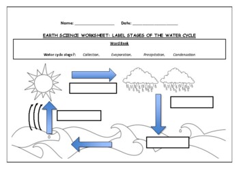
Earth Science worksheet: Label stages of the water cycle
Earth Science worksheet: Label stages of the water cycle2 VERSIONS OF WORKSHEET (Worksheet with a word bank & Worksheet with no word bank)Students have to label the stages of water cycle by looking at the diagram (Evaporation, Collection, Precipitation and Condensation)Students can color in the pictures they are doneWorksheet aimed at higher kindergarten/lower primary levelAnswer Key includedBoth PDF and Editable Word Versions included within the ZIP file
Subjects:
Grades:
K - 6th
Types:
Map Skills Book
Discover the world of map skills with this engaging book for students! This comprehensive resource covers essential topics such as the globe, map symbols, cardinal directions, United States map, classroom maps, home maps, and community maps. Dive into the exciting world of geography and navigation with this informative and enjoyable booklet.Check out some of my other ResourcesPumpkin DayTurkey DayHalloween Word ProblemsFollow meFacebookKathryn Loves Teaching BlogTeachers Pay TeachersThank you fo
Subjects:
Grades:
PreK - 2nd
Types:
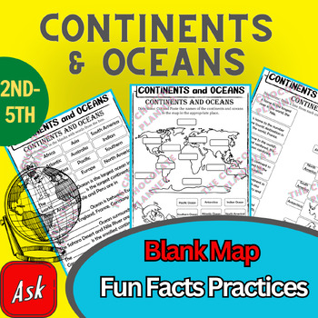
Continents And Oceans | Maps & Globes 7 Continets & Oceans | Facts Activities
Learning about continents and oceans on a map is a great way to engage students and help them remember all seven continents and major oceans in geography. This resource provides tons of practice on maps to help your kids identify the continents and oceans, as well as learn fun new information about each continent and ocean.The facts about continents and oceans are designed in different interactive formats to help your kids engage and have fun while completing them.As there are many questions reg
Subjects:
Grades:
2nd - 5th
Types:
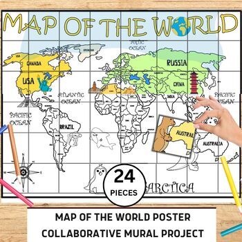
World Map Collaborative Poster Mural Project - Geography Unit , Classroom Decor
⭐️⭐️World Map Mural Collaborative Project Poster⭐️⭐️Transform your classroom with the Collaborative World Map Mural, a captivating and educational poster set. Consisting of 24 6x7 inch square pieces, students can contribute to this engaging bulletin board project. The mural promotes teamwork, critical thinking, and geographical awareness as students research and add drawings, facts, and experiences to represent different regions, countries, and landmarks. This visually stunning display fosters a
Grades:
1st - 4th
Also included in: 21 Collaboration Posters Mural Project - Classroom Decor ,Craft, BUNDLE
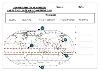
Geography worksheet: Label the lines of longitude and latitude
Geography worksheet: Label the lines of longitude and latitudeStudents have to label the lines of latitude and longitude with the correct names (Equator, South Pole, Tropic of Capricorn, Tropic of Cancer, North Pole)Worksheet aimed at primary level/ high school levelStudent can color in the world map when they are finishedAnswer key included on second page.
Subjects:
Grades:
2nd - 7th
Types:
50 Social Studies Labs - Geography History Cultural Studies Economics Government
PREVIEW AVAILABLE!LIKE WHAT YOU SEE? CHECK OUT OTHER STEM RESOURCES IN MY SHOP!FROM THE CREATOR OF 50 STEM LABS & 50 MORE STEM LABS comes this collection of 50 Social Studies Activities for kids. Recommended for grades K to 6 and up! Each one has a snappy title, a brief set of instructions, recommended materials list, and space for notes. These are very adjustable for your classroom, home, or homeschool needs. Do projects for concepts like: Geography, Cultural Studies, Economics, History, G
Grades:
K - 8th
Types:
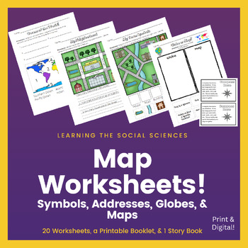
Map Worksheets: Symbols, Addresses, Streets, Maps & Globes: Print & Digital
This zip file contains 20 pdf worksheets that teach about maps, globes, map symbols, streets and addresses, land and water, the continents, and the oceans. I have a link on the last page with some of the worksheets as Google Slides for students to use for distance learning or during a hybrid set-up. That way students can be in the classroom doing the same worksheet at their desk as students are doing at home with their computer.The link to the Google Slides version is on the last page!Topics:M
Grades:
K - 2nd
Types:
Also included in: Map Skills Bundle: Symbols, Compass Rose, Globe, Maps, & More
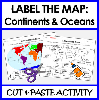
Label Continents and Oceans | Cut & Paste Sorting Activity
Let your students have fun with this cut and paste activity labelling Earth’s 7 continents and 5 oceans. This NO PREP resource provides your students with hands-on opportunity to practice labeling the continents and oceans on a world map. Three different options for a variety of practice: label the continents, label the oceans, or label BOTH the continents and oceans.Click HERE if you want a digital drag and drop version of the same activity designed for Google Slides. This product includes:Cut
Subjects:
Grades:
1st - 4th
Types:
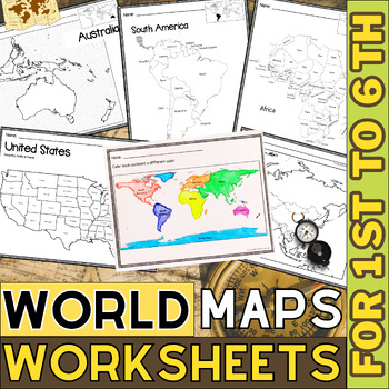
World Map with Countries | Continents and Oceans Blank Map | 1st to 12th Grade
These printable maps will be useful whether you are studying geography, world history, countries around the world, or you are just trying to show your kids the route you are taking on your next vacation! For kids learning about states, we've included a printable map of the world, as well as maps of North and South America, Europe, Asia, Australia, Africa, and Antarctica. Furthermore, the world map printable set comprises labeled and blank options for printing. To print the printable map PDF file
Grades:
K - 12th
Types:
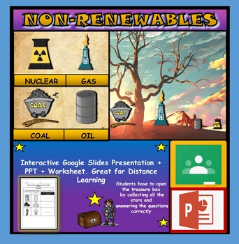
Non-Renewable Energy Sources: Interactive Google Slides + PPT + Worksheet
Non-Renewable Energy Sources: Interactive Google Slides + PPT + Worksheet (Distance Learning)Interactive presentation & quiz on non-renewable energy sources. Please view the powerpoint previewINTERACTIVE GOOGLE SLIDES/POWER POINT PRESENTATION on non-renewable energy resources. It can be used for distance learning and google classroom or within the classroom.Once downloaded: Please view the GOOGLE SLIDES/POWERPOINT IN 'PRESENT ▶️' modeWorksheet also included in ZIP file 'Non-renewable energy
Subjects:
Grades:
1st - 7th
Types:
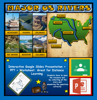
The US Major Rivers : Google Slides. Mississippi. Colorado. Hudson + Worksheets
The US Major Rivers : Google Slides, Distance Learning + Powerpoint Version + Worksheets. Interactive presentation & quiz on US major rivers. Please view the video previewINTERACTIVE GOOGLE SLIDES/POWER POINT PRESENTATION on The US major rivers. It can be used for distance learning and google classroom or on a interactive smartboard in the classroom.Once downloaded: Please view the GOOGLE SLIDES/POWERPOINT IN 'PRESENT ▶️' modeWorksheet also included in ZIP file 'Label the US rivers'. This is
Subjects:
Grades:
2nd - 7th
Also included in: U.S.A Geography Bundle: Google Slides Presentations + PPT's + Worksheets
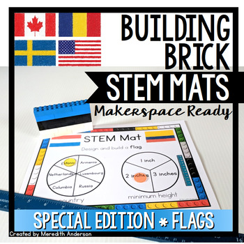
Flags of the World STEM Mats - STEM Center for Building Bricks
If you are looking for a STEM and geography resource, or are celebrating any international sporting events, this is a great set to add to your toolbox!STEM Mats are SO easy to set up in your classroom! If you were thinking of trying STEM Fridays or Maker Mondays, or you need something more engaging for your early finishers than worksheets or reading, this is the resource for you. Not only will your students be working creatively to solve problems, they will be reading, writing, and using math sk
Subjects:
Grades:
1st - 5th
Also included in: STEM Activities and Challenges for K-2 - Whole Year Bundle
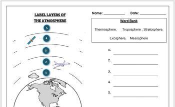
Earth Science Worksheet: Label the layers of the Atmosphere
Earth Science Worksheet: Label the layers of the atmosphereStudents have to label the layers of the atmosphere by looking at the numbers Students can color in the worksheet once they are doneWorksheet aimed at primary level/ high school levelAnswer key included on page 2
Subjects:
Grades:
K - 8th
Types:
Kids in Other Countries Lessons: Free Video Series: Distance Learning
Supporting Inclusive Resources to create Inclusive Classrooms for Elementary School ChildrenOne of my best discoveries this year, is the FREE on-line video series: Kids in Other Countries This free video series has been instrumental in developing global awareness while creating an atmosphere of appreciation within my grade two class. My goal in creating this resource was to support the video series by having students, reflect, connect, challenge and transform their thinking about social standar
Subjects:
Grades:
2nd - 6th
Types:
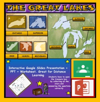
The Great Lakes: Interactive Google Slides, Distance Learning + PPT + Worksheet
The Great Lakes: Interactive Google Slides + PPT + Worksheet (DL)Interactive presentation & quiz on The Great Lakes of Northern America. Please view the powerpoint previewINTERACTIVE GOOGLE SLIDES/POWER POINT PRESENTATION on the five great lakes . It can be used for distance learning and google classroom or within the classroom.Once downloaded: Please view the GOOGLE SLIDES/POWERPOINT IN 'PRESENT ▶️' modeWorksheet also included in ZIP file 'Label the great lakes' .This is a word files.docx a
Grades:
2nd - 8th
Also included in: U.S.A Geography Bundle: Google Slides Presentations + PPT's + Worksheets
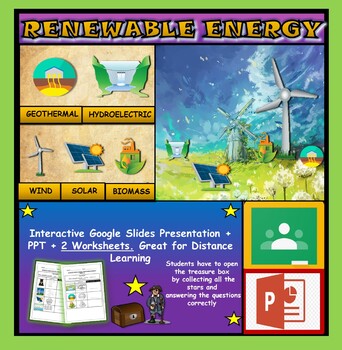
Renewable Energy Sources: Interactive Google Slides + PPT + 2 Worksheets
Renewable Energy Sources: Interactive Google Slides + PPT + 2 Worksheets (DL)Interactive presentation & quiz on Renewable Energy sources. Please view the powerpoint previewINTERACTIVE GOOGLE SLIDES/POWER POINT PRESENTATION on renewable energy resources. It can be used for distance learning and google classroom or within the classroom.Once downloaded: Please view the GOOGLE SLIDES/POWERPOINT IN 'PRESENT ▶️' mode2 Worksheets also included in ZIP file 'Renewable energy sources' and 'Renewable e
Subjects:
Grades:
1st - 6th
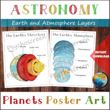
Earth Structure and The Earth's Atmosphere • Layers of the Earth • Posters
֎ ABOUT THE PRODUCT ֎Handmade watercolor print, instant download. Great material for learning about the layers of the Earth and about Atmosphere in homeschooling or in classroom. The product includes:· The Earth's Structure - poster + diagram + parts (labels)· The Earth's Atmosphere - poster + diagram + parts (labels)֎ DIGITAL DOWNLOAD ֎· PDF file in Letter size, with 5 pages. Size: Letter - 2550px x 3300px, 8.5" x 11", 21,59cm x 27,94cm. You can fit it on A4 size. Lamination extends the duratio
Subjects:
Grades:
PreK - 5th
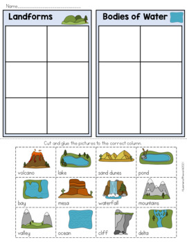
Landforms and Bodies of Water Sort
Landforms and Bodies of Water Sort WorksheetUse this colored landform cut and paste sorting activity with your class to teach them the difference between landforms and bodies of water. This hands-on sorting activity is perfect for pairs and small groups. Have your kids carefully cut out the images of different geographical features, before sorting them into two groups. Once they are confident they have sorted them into landforms and bodies of water, they can glue them onto the chart and check ag
Subjects:
Grades:
1st - 3rd
Types:
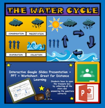
The Water Cycle: Interactive Google Slides + PPT + Worksheet
The Water Cycle: Interactive Google Slides + PPT + WorksheetInteractive presentation & quiz on the water cycle. Please view the preview video to understand the depth of content and interactivity of this productINTERACTIVE GOOGLE SLIDES/POWER POINT PRESENTATION on the water cycle. It can be used for distance learning and google classroom or within the classroom.Once downloaded: Please view the GOOGLE SLIDES/POWERPOINT IN 'PRESENT ▶️' mode Worksheet also included in ZIP file 'Label parts of th
Subjects:
Grades:
1st - 6th
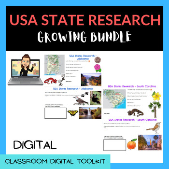
USA - STATES RESEARCH (Google Slides™) - GROWING BUNDLE!!!!!
USA STATE Research Project - Google Slides, ready to be uploaded to Google Classroom!Students love to research and use their digital skills to learn about the states of America.Students will research and learn:How to find a capital city on a mapThe land area of the stateHistoric Landmarks in the StateAnimals native to the stateLocation of the State on a map of the USAThe Governor and Sentator/s of the state, and the political parties they representWhat states border the stateResearch a famous pe
Subjects:
Grades:
2nd - 6th
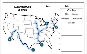
Geography worksheet: Label the Major USA Rivers
Students have to label the major USA rivers (Mississippi, Hudson, Rio Grande, Colorado, Ohio)Word bank providedWorksheet aimed at primary level/ high school levelAnswer key included on the second page
Subjects:
Grades:
K - 10th
Types:
Also included in: Geography worksheets: USA Bundle (10 worksheets, 70%+ off)
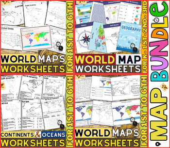
World Map Worksheets | Continents and Oceans Blank Map | 1st to 12th Grade
⭐⭐⭐⭐⭐Kids enjoy studying about the world in which they live! With the help of these entertaining printable Continents and Oceans Worksheets, they will love learning about the seven continents and the corresponding geography. For students in kindergarten, first grade, second grade, third grade, fourth grade, fifth grade and sixth grade utilize these worksheets on continents and oceans. After printing the Continents and Oceans Worksheets pdf, you can begin learning and having fun.These printable W
Grades:
PreK - 9th
Types:
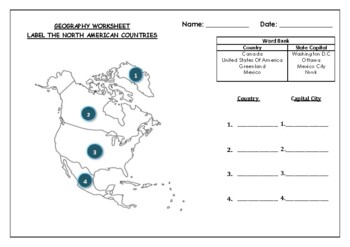
Geography worksheet: Label the North American Countries
Geography worksheet: Label the North American Countries and Capital Cities2 VERSIONS OF WORKSHEET EXIST IN THIS DOCUMENT (Worksheet with a word bank, Worksheet with no word bank)Students have to identify the 4 main countries and their capital cities- found in North American (Greenland, Canada, USA, Mexico)Students can then color in the map of North AmericaAnswer Key included on 3rd page
Grades:
2nd - 7th
Types:
Showing 1-24 of 325 results


