222 results
Kindergarten geography resources on sale
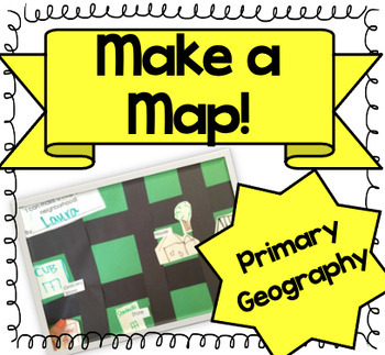
Let's Make a Map! {A Map-Making Activity for Primary Geography Unit}
Product Information: This is a simple, yet effective activity to teach students about maps. It is part of our Social Studies Geography unit. I print this printable, and give each student:-copy of labels (this printable)-a big piece of green construction paper-black strips to make roads-white squares to draw buildings and housesI introduce the lesson by:-showing real maps or online maps-talking about community and what our community looks like-brainstorming what places are by my houseThen the k
Grades:
K - 3rd
Types:
Also included in: Kindergarten Geography Bundle
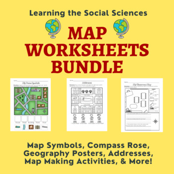
Map Skills Bundle: Symbols, Compass Rose, Globe, Maps, & More
This growing bundle (landforms still to come!!!) contains 50 worksheets, a printable book, geography posters, and a PDF book on maps! Plenty of resources to help you teach about maps!Items from the Map Worksheets Product:Map symbols cut and paste (or drag and drop)Neighborhood streets coloring & writing sheetColor items on the write streetCut and paste symbols & street namesIdentify items using street names (2 different worksheets)Draw a line to help the student get homeColor the house
Grades:
K - 1st
Types:
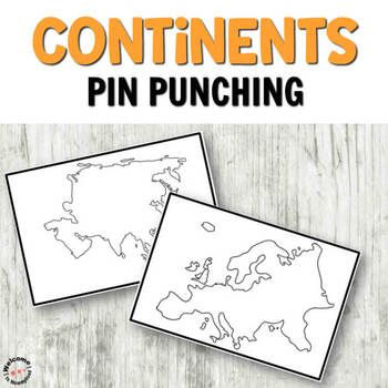
Montessori inspired continents push pin (pin poking) cards
CONTINENTS PUSH PIN CARDSThese cards are perfect for incorporating into a Continents study or activity. They are great for practicing writing skills and pencil grip. Children can use these cards to either trace the images, or use a push pin to cut out the shapes on the cards. INCLUDES:7 Color Continents Cards with border 7 Black and White Continents Cards with border7 Color Continents Cards full page, no border 7 Black and White Continents Cards full page, no border MORE PIN POKING PRINTABLESWea
Subjects:
Grades:
PreK - K
Types:
Also included in: Pin Poking Bundle for Montessori Activities or Fine Motor Centers
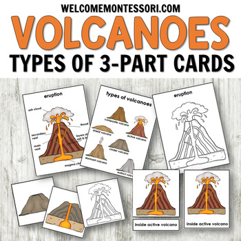
Types of Volcanoes 3-Part Cards with Posters for Science Centers
Use these Volcano Printables to create hands-on learning activities about volcanoes for your students. You can use these cards to teach children about the different types of volcanoes that exist in the world. These cards can be used in a Montessori classroom!Children can use the 3-part cards to learn vocabulary surrounding different types of volcanoes. You can present the cards included as a vocabulary building/reading work.⏩⏩ See the money saving volcano bundle here! ⏪⏪These cards show both the
Subjects:
Grades:
PreK - 1st
Types:
Also included in: Montessori Volcano Bundle or Science Centers
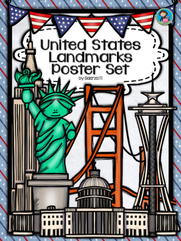
United States Landmarks Facts & Poster Set
If you are looking to improve your students skills in Geography here is the resource you need. I had so much fun researching these Landmarks and sparkle my skills also with the new facts on the most famous landmarks of the United States. Lots of information, but cool things you can use in class. Here is a set of Posters with their Fact Sheet. You can print it on card stock with double sided with the facts or separated to create your own activities for your students. The will have fun with ge
Grades:
PreK - 12th, Higher Education, Adult Education, Staff
Mapping Skills with Google Earth: How to Read a Map Gr. PK-2
This is the chapter slice "How to Read a Map" from the full lesson plan "Mapping Skills with Google Earth"About the FULL RESOURCE:Teach your students the basics of map reading with our engaging resource designed for students in grades prekindergarten to two. Start with the elements found on a map, such as symbols, legends and the compass rose. Then, have your students apply what they’ve learned by mapping their classroom and route to school. Move on to the Great Lakes of North America and the se
Subjects:
Grades:
PreK - 2nd
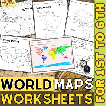
World Map with Countries | Continents and Oceans Blank Map | 1st to 12th Grade
These printable maps will be useful whether you are studying geography, world history, countries around the world, or you are just trying to show your kids the route you are taking on your next vacation! For kids learning about states, we've included a printable map of the world, as well as maps of North and South America, Europe, Asia, Australia, Africa, and Antarctica. Furthermore, the world map printable set comprises labeled and blank options for printing. To print the printable map PDF file
Grades:
K - 12th
Types:
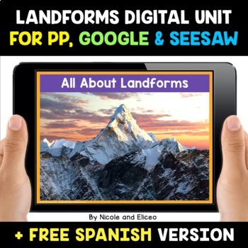
Landform Digital Activities for Google and Seesaw + FREE Spanish
Engage your students with these interactive landform activities. This digital landform unit includes 12 illustrated vocabulary terms with kid-friendly definitions, 4 informational nonfiction texts and a variety of interactive activities. It is available in PowerPoint, Google Slides and in Seesaw. It has been preloaded into Google Drive for teachers who use Google Apps or Google Classroom. It has also been preloaded into Seesaw as an interactive activity. You can use it on any device with these s
Subjects:
Grades:
K - 2nd
Also included in: Social Studies Activities for Google and Seesaw Bundle + FREE Spanish
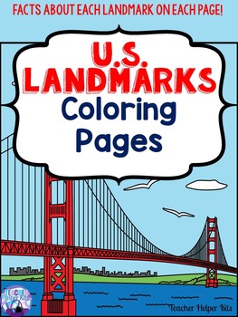
U.S. Landmarks
U.S. Landmarks
*********************************************************************
Are your students learning about landmarks in Social Studies? These U.S.Landmarks coloring pages would be a great addition to any Social Studies History or Geography Unit!
Each page has a fact about the landmark so students learn while coloring!
U.S. Landmarks Included:
1. Golden Gate Bridge
2. White House
3. Hollywood Sign
4. Alamo
5. Cloud Gate
6. One World Trade Center (Freedom Center)
7. Grand Canyon
8. St.
Grades:
K - 3rd
Types:
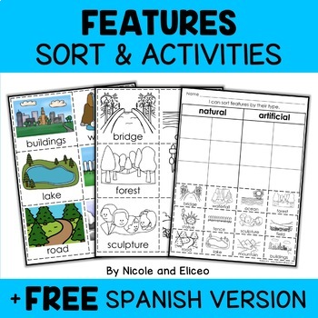
Physical Features Sort Activities + FREE Spanish
Boost engagement with this fun, interactive resource about physical and man-made features. It includes vocabulary cards, individual and group sorting activities, graphic organizers, a coloring sheet, a word building activity, a drawing sheet and more! It works great for boosting academic vocabulary while learning and reviewing the content. This resource was created by Nikki and Nacho - previously known as Nicole and Eliceo.TEACHER-FRlENDLY FEATURESThis resource has been teacher-tested and approv
Subjects:
Grades:
PreK - 1st
Types:
Also included in: Social Studies Sort Activities Bundle + FREE Spanish
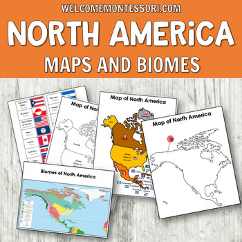
Maps of North America: Montessori Map or Geography Activities
Use these maps of North America to create hands-on geography activities for your students. These maps and activities are ideal for a Montessori primary classroom and lower elementary aged students. Use the maps provided to offer a variety of activities to your students. The teacher instructions included in this pack offer ideas for crafts and different hands-on activities you can present to your class. Children can label the maps with the countries or capital cities. Control maps, color and bla
Grades:
PreK - 1st
Types:
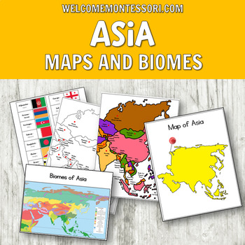
Montessori Map of Asia or Geography Activities: Pin Flags, Biomes & More!
Use these Montessori maps of Asia to create hands-on geography activities for your students. These maps and activities are ideal for a Montessori primary classroom and lower elementary aged students. Use the maps provided to offer a variety of activities to your students. The teacher instructions included in this pack offer ideas for crafts and different hands-on activities you can present to your class. Children can label the maps with the countries or capital cities. Control maps, color and b
Grades:
PreK - 1st
Types:
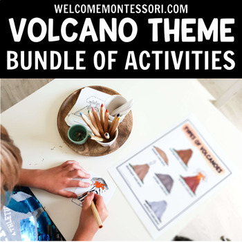
Montessori Volcano Bundle or Science Centers
Use these Volcano Printables to create hands-on learning activities for your students. You can use these cards to teach children about the different types of volcanoes that exist in the world. These cards can be used in a Montessori primary classroom!Children can use the 3-part cards to learn vocabulary surrounding different types of volcanoes. You can present the cards included as a vocabulary building/reading work.These cards show both the internal make-up of volcanoes and their external appea
Subjects:
Grades:
PreK - K
Types:
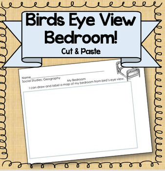
Birds Eye View Map: Primary Geography Activity!
Product Information: This is a simple printable to help teach the concept of map making. Students draw their bedroom from birds-eye view, labeling each piece of furniture. Get the bundle! This resource is part of a BUNDLE! If you are interested in using more than one of this kind of activity, consider purchasing the bundle for a steep discount! Related Resources: If you're interested in other primary Social Studies resources, check out these links! Nation, State, CommunityGeography PacketMake a
Subjects:
Grades:
K - 3rd
Types:
Also included in: Kindergarten Geography Bundle
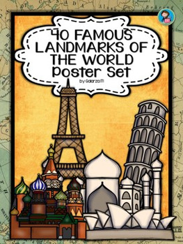
40 Famous Landmarks of the World Poster Set
If you are looking to improve your students skills in Geography here is the resource you need. I had so much fun researching these Landmarks and sparkle my skills also with the new facts on the most famous landmarks of the World. Lots of information, but cool things you can use in class. Here is a set of Posters each with a Fact Sheet. You can print it on card stock with double sided with the facts or separated to create your own activities for your students. The will have fun with geography
Grades:
PreK - 12th, Higher Education, Adult Education, Staff
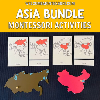
Montessori Asia Continent Unit Bundle: Geography, Life Cycles, Food, Map Work
Use this collection of resources to add to your Montessori Asia continent box! Introduce your students to Asia with this collection of Montessori printables! Create hands-on activities about the continent of Asia for your Montessori primary classroom or kindergarten aged students. You can take your Asia geography folder to the next level with these varied activities! You can use these cards to teach children how the flags of Asian countries look, teach them about food from some countries in Asia
Subjects:
Grades:
PreK - K
Types:
Destrezas cartográficas con Google Earth™: Haz un mapa del mundo Gr. PK-2
Completa tus destrezas cartográficas haciendo un mapa del mundo con este atractivo recurso. Aprende sobre los globos terráqueos, las coordenadas geográficas, y las líneas de latitud y longitud. Explora el ecuador y el Primer Meridiano, y después todos los 7 continentes y 4 océanos que componen el Mundo. Este recurso, escrito para los grados de Pre-Kindergarten a Segundo grado, está dividido en tres secciones: Un pasaje de lectura donde se aprende todo el contenido basado en el currículo, seguid
Subjects:
Grades:
PreK - 2nd
Types:
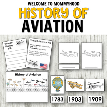
Transportation History of Aviation
Use these transportation activities to create hands-on learning activities about the history of the airplane for your students. You can use these cards to teach children about the evolution of the airplane. Children will work on ordering skills and logic. Your students will be able to make their own timeline using this material.This resource is ideal for teachers, educators, and parents working with preschool aged children, pre-k, kindergarten, or Montessori classrooms.This resource could be us
Grades:
PreK - 2nd
Types:
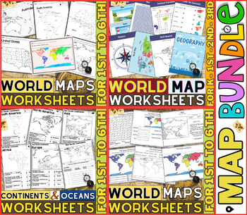
World Map Worksheets | Continents and Oceans Blank Map | 1st to 12th Grade
⭐⭐⭐⭐⭐Kids enjoy studying about the world in which they live! With the help of these entertaining printable Continents and Oceans Worksheets, they will love learning about the seven continents and the corresponding geography. For students in kindergarten, first grade, second grade, third grade, fourth grade, fifth grade and sixth grade utilize these worksheets on continents and oceans. After printing the Continents and Oceans Worksheets pdf, you can begin learning and having fun.These printable W
Grades:
PreK - 9th
Types:
Valentines Day Love in Many Languages Bulletin Board Set
Here you have an ideal product to reinforce the geography skills, with a "Lovely touch". These Set will liven up any room or any school hall. You can even decorate a door or a quick Bulletin Board (Bunting, posters, decorative paper, borders and ready!) Also you can create a multilingual activity with your students with the black and white version, ready to color!It Includes:Children of 31 countriesNew!! Children of 31 countries coloring pages (black and white)2 Borders designsHappy Valentines
Subjects:
Grades:
PreK - 12th, Higher Education, Adult Education, Staff
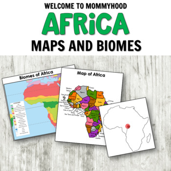
Maps of Africa: Montessori Map or Geography Activities
Use these maps of Africa to create hands-on geography activities for your students. These cards can be used in a Montessori classroom! Use the maps to show children where the different countries and territories of Africa are located. Children can label the blank maps. Please note: if you are a member of the Hand-on Kids Activities Club, this material is in your Africa Theme. MAPS OF AFRICAWorld Map p.4Map of Africa with countries labeled p.5Map of Africa with not labeled (color) p.6Black and whi
Grades:
PreK - 2nd
Types:
Also included in: Montessori Geography Bundle: Continents with flags, maps, life cycles
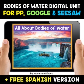
Bodies of Water Digital Activities for Google and Seesaw + FREE Spanish
Engage your students with these interactive bodies of water activities. This digital bodies of water unit includes 12 illustrated vocabulary terms with kid-friendly definitions, 4 informational nonfiction texts and a variety of interactive activities. It is available in PowerPoint, Google Slides and in Seesaw. It has been preloaded into Google Drive for teachers who use Google Apps or Google Classroom. It has also been preloaded into Seesaw as an interactive activity. You can use it on any devic
Subjects:
Grades:
K - 2nd
Also included in: Social Studies Activities for Google and Seesaw Bundle + FREE Spanish
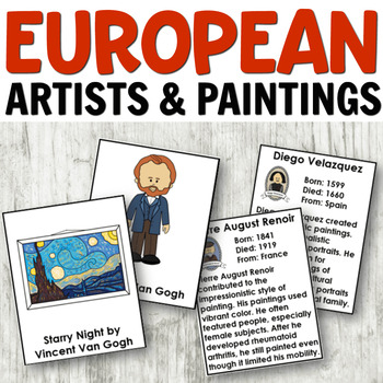
European Artists Study Hands-on or Geography Activities
Use these art activities to create hands-on learning activities about European artists for your students. You can use these cards to teach children about the paintings. These cards can be used in a Montessori classroom!Please note: if you are a member of the Hand-on Kids Activities Club, this material is in your Europe Theme. EUROPEAN ARTIST PACK ★ Teacher Instructions★ Editable Artist 3 Part Cards★ Editable Paintings 3 Part Card★ Information Cards about the Artist★ Black and White Palette★ Mat
Grades:
PreK - 2nd
Types:
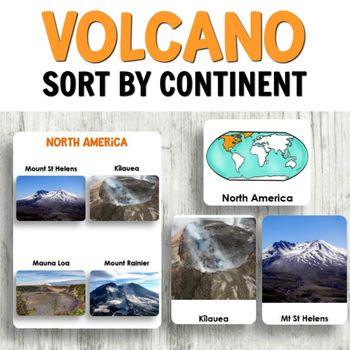
Montessori Volcanoes Around the World Sort by Continent // Science Centers
Use these Volcano Printables to create hands-on learning activities about volcanoes for your students. You can use these cards to teach children about the different types of volcanoes. Your students will find the real photographs used very interesting. You can use this set of volcano activities in your science centers. They also will work for Montessori primary classrooms. ⏩⏩ See the money saving volcano bundle here! ⏪⏪There are 4 photographs provided per continent EXCEPT for Antarctica, which h
Subjects:
Grades:
PreK - 2nd
Types:
Also included in: Montessori Volcano Bundle or Science Centers
Showing 1-24 of 222 results


