321 results
Geography lessons on sale
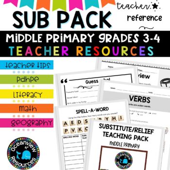
Grade 3-4 Sub Plans for Emergency Teaching days and Relief Teachers
⭐Being a relief teacher and a substitute teacher can come with its own set of challenges. This Relief Teacher Survival Kit is your one-stop resource for handling a job assignment with confidence and ease! Your students will LOVE all of the easy-to-use activitiesIf you are just starting out in your teaching career, or if you need a spark of new ideas, this resource is jam-packed with activities you can use with your students. It includes hundreds of fun, authentic, and engaging activities that I
Subjects:
Grades:
3rd - 4th, Staff
Types:
Mapping Skills with Google Earth™ Gr. 6-8
Help your middle school students move on to a more complex understanding of map reading. Our resource allows students to further develop their ability to read and understand maps. About this Resource: Practice what you've learned about coordinates by finding the matching countries on Google Earth™. Test your comprehension of a precipitation map by answering questions related to a map of North America. Explore the past with Google Earth™, and see how the population of certain places have changed
Grades:
6th - 8th
Types:
Also included in: Mapping Skills with Google Earth BIG BOOK - BUNDLE
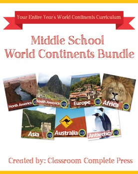
Middle School World Continents Bundle Gr. 5-8
This Middle School World Continents Bundle for grades 5-8 is your ENTIRE YEAR'S WORLD CONTINENTS CURRICULUM in one bundle. Filled with EXTENSIVE reading passages, ENGAGING activities, and FULL COLOR maps, and COMPREHENSION questions that cover your State Standards, and written to Bloom's Taxonomy. The activities in this bundle can be used for whole-group, small group, or individual work. NO PREP necessary, just print!This BUNDLE includes 420 pages and will provide you with an ENTIRE YEAR of Wor
Grades:
5th - 8th
Types:
Europe Gr. 5-8
Journey to the ancient centers of culture and trade with a trip to Europe. About this Resource: Understand the variety of ecosystems that inhabit the continent with a climate map. Gain a sense of direction by identifying the European cities that are found in the western and eastern hemispheres. Do some research into the famed Thames river and find out how long it is, which countries it passes through, and into which large body of water it flows into. Learn about the accident at Chernobyl and wha
Grades:
5th - 8th
Types:
Also included in: Middle School World Continents Bundle Gr. 5-8
Mapping Skills with Google Earth: How to Read a Map Gr. PK-2
This is the chapter slice "How to Read a Map" from the full lesson plan "Mapping Skills with Google Earth"About the FULL RESOURCE:Teach your students the basics of map reading with our engaging resource designed for students in grades prekindergarten to two. Start with the elements found on a map, such as symbols, legends and the compass rose. Then, have your students apply what they’ve learned by mapping their classroom and route to school. Move on to the Great Lakes of North America and the se
Subjects:
Grades:
PreK - 2nd
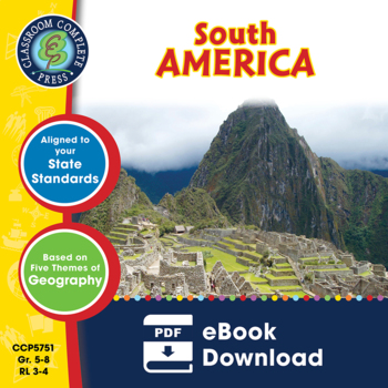
South America Gr. 5-8
Become aware of the endangered environment and wildlife that inhabit South America. About this Resource: Get familiar with the Caribbean Region, one of the world's most sought-after tourist destinations. Describe the relative location of Chile using the features around it. Discover how the Andes Mountains and the Pampas are different. Do some research in the Amazon River, the most famous river in the world. Use the Wildlife Organizer to find the different kinds of wildlife that are unique to the
Grades:
5th - 8th
Types:
Also included in: Middle School World Continents Bundle Gr. 5-8
Mapping Skills with Google Earth: Latitude, Longitude and Time Zones Gr. 3-5
This is the chapter slice "Latitude, Longitude and Time Zones" from the full lesson plan "Mapping Skills with Google Earth"About the FULL RESOURCE:Students will learn in-depth how to read and create maps with our engaging resource designed for students in grades three to five. Students will expand their knowledge of the elements on a map by exploring the lines of latitude, longitude and time zones. Then, students will learn about geographical and cultural features by exploring topographic and ch
Subjects:
Grades:
3rd - 5th
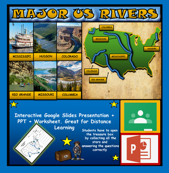
The US Major Rivers : Google Slides. Mississippi. Colorado. Hudson + Worksheets
The US Major Rivers : Google Slides, Distance Learning + Powerpoint Version + Worksheets. Interactive presentation & quiz on US major rivers. Please view the video previewINTERACTIVE GOOGLE SLIDES/POWER POINT PRESENTATION on The US major rivers. It can be used for distance learning and google classroom or on a interactive smartboard in the classroom.Once downloaded: Please view the GOOGLE SLIDES/POWERPOINT IN 'PRESENT ▶️' modeWorksheet also included in ZIP file 'Label the US rivers'. This is
Subjects:
Grades:
2nd - 7th
Also included in: U.S.A Geography Bundle: Google Slides Presentations + PPT's + Worksheets
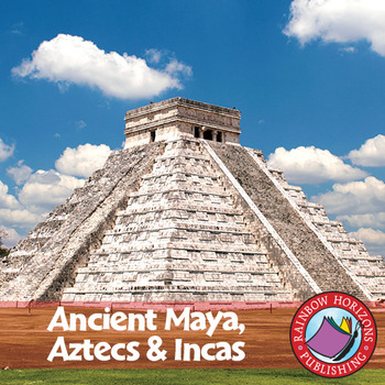
Ancient Maya, Aztecs & Incas Gr. 4-6
This thematic, integrated unit about the Mayas, Aztecs, and Incas will provide both the teacher and the students with a broad understanding of the topic.
About this Resource:
The unit starts off with core teaching lessons to build a base for knowledge, followed by student worksheets that compliment the core lessons. Optional lessons are included to add a degree of flexibility and possible enrichment activities to the lesson. The unit finishes off with a major project that allows students to de
Subjects:
Grades:
4th - 6th
Types:
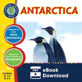
Antarctica Gr. 5-8
Go on an exhibition to the South Pole as you explore the harsh climate of Antarctica. About this Resource: Study the ice, atmosphere, magnetic field, and greenhouse effect over this vast continent. Draw the locations of research stations inhabiting Antarctica. Understand how Antarctica's temperatures can result in surface ice two miles thick. Become a scientist and research the atmosphere above Antarctica. Find ways in which scientists move around Antarctica without roads or highways. Compare An
Grades:
5th - 8th
Types:
Also included in: Middle School World Continents Bundle Gr. 5-8
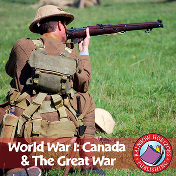
World War I: Canada & The Great War Gr. 7-9
Conflict is the central theme of this accurate account of the First World War.
About this Resource:
The unit emphasizes the integral role Canada played in the war, with topics ranging from life in the trenches, the Battle of the Somme, to the Battle of Vimy Ridge. The unit is divided into three parts combining optional lessons and a pictorial history suitable for colouring with the main, information-based body of the unit. Optional lessons include a review, exam, and a newspaper story on the
Subjects:
Grades:
7th - 9th
Types:
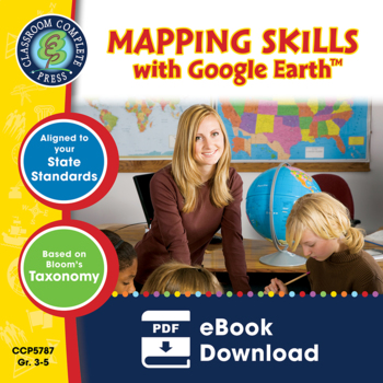
Mapping Skills with Google Earth™ Gr. 3-5
Extend the basic knowledge of map reading to give your elementary students a thorough understanding of maps. Our resource allows students to learn in-depth how to read and create maps.About this Resource: Explore all the elements on a map, such as scale, index, grid system, and surrounding area. Take your understanding of a grid system one step further by examining lines of latitude and longitude. Compare the different times zones found in your country. Learn about topographic maps before explo
Grades:
3rd - 5th
Types:
Also included in: Mapping Skills with Google Earth BIG BOOK - BUNDLE
World Geography Bundle: Google Slides Presentations + PPT's + Worksheets
World Geography Bundle: Google Slides Presentations + PPT's + Worksheets5 Products included in this bundle covering several main topics regarding World GeographyPlease watch the preview video of 'The World's Oceans' before purchasing this bundle - to understand the depth of content, the quality and interactivity of these presentations. All presentation follow the same layout and have good quality design.Google Slides/PPT Presentations included in this bundle:Mountain Ranges Of The WorldRivers Of
Subjects:
Grades:
3rd - 8th
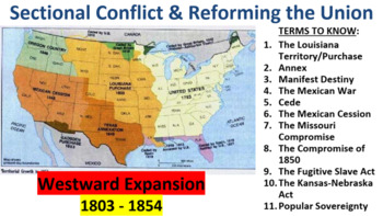
U.S. History: Westward Expansion & the Spread of Slavery
21 slide power point that covers Westward territorial expansion & the ensuing controversy over the spread of slavery (1803 - 1854) and includes:- The concept of Manifest Destiny and it's effects on U.S. Foreign Policy including: - the Louisiana Purchase and seizure of Florida - the Annexation of Texas - the Mexican War and Cession - the division of the Oregon territory- Compromises reached to deal with the increasing tensions over slavery caused by Westward Expans
Grades:
7th - 12th
Early Africa
Explore the fascinating kingdoms of ancient Africa! This book covers the mighty African kingdoms of Ghana, Mali, and Songhay--rich in culture and tradition--that sprang up along the continent s west coast as far back as 300 B.C. Rivaling the great ancient civilizations of Egypt, Greece, and Rome, these early African cultures, through strength and ingenuity, overcame tremendous odds in adapting to the often harsh African climate and environment. Special emphasis is given to the rich tradition of
Grades:
5th - 9th
Types:
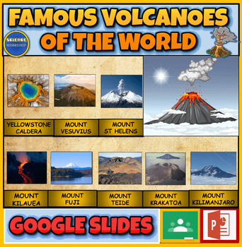
Famous Volcanoes Of The World: Earth Science: Interactive Powerpoint
Famous Volcanoes Of The World: Volcanology: Interactive Powerpoint + Google Slides Version + 2 Printable WorksheetsInteractive presentation & quiz on Famous Volcanoes Of The World. Please watch the preview video to get an understanding of how this product worksINTERACTIVE GOOGLE SLIDES/POWER POINT PRESENTATION on Famous Volcanoes Of The WorldThe presentation is interactive, animated and fun to use.The presentation can be presented to the class by the teacher and students can view also it ind
Subjects:
Grades:
4th - 9th
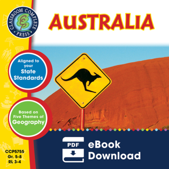
Australia Gr. 5-8
Go down under and escape to a whole new world in Australia. About this Resource: Take a vacation and visit the many islands that make up the Melanesian region. Find the exact location of 10 cities in Australia using their latitude and longitude coordinates. Examine the unique wildlife species Australia's island continent has to offer. Research and collect facts about the Great Barrier Reef using the Undersea Organizer. Explore the largest ports in Australia, like Sydney and Melbourne, and comple
Grades:
5th - 8th
Types:
Also included in: Middle School World Continents Bundle Gr. 5-8
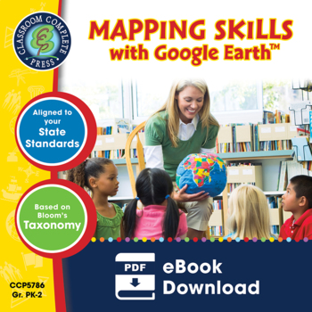
Mapping Skills with Google Earth™ Gr. PK-2
Give your primary students the building blocks needed to be successful map readers. Our resource provides the basics of map reading to ensure a solid foundation is laid for further study.About this Resource: Create a treasure map using all the elements learned so far, such as cardinal directions, symbols and legend. Make a map of your classroom with a title, compass rose, legend, date, and author. Draw a route to school using North, East, South or West of certain landmarks. Explore grid lines w
Grades:
PreK - 2nd
Types:
Also included in: Mapping Skills with Google Earth BIG BOOK - BUNDLE
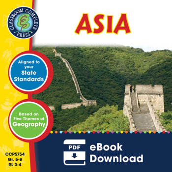
Asia Gr. 5-8
Explore the vast landscape that is Asia, the world's largest continent. About this Resource: Find and label the Gobi Desert, Himalayas mountain range and Mekong Delta on a map of Asia. Find out how the city of Mumbai's location affected how it developed as a city. Record information about your chosen country in a flow chart graphic organizer. Learn how China's landscape is being changed by the Three Gorges Dam on the Yangtze River. Interview your parents to find out where your family originated,
Grades:
5th - 8th
Types:
Also included in: Middle School World Continents Bundle Gr. 5-8
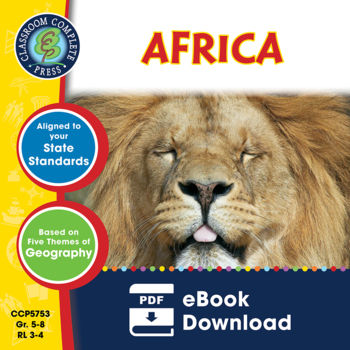
Africa Gr. 5-8
Take a trip back to the cradle of life and explore the great Sahara Desert in Africa. About this Resource: Become familiar with the national capitals and major cities where the majority of the human population reside. Get a sense of the location of different countries in Africa by placing them in their correct categories in a graphic organizer. Collect facts about the Masal people of eastern Africa. Research two of the endangered animals in Africa to evaluate just how close they are to extinctio
Grades:
5th - 8th
Types:
Also included in: Middle School World Continents Bundle Gr. 5-8
Destrezas cartográficas con Google Earth™: Haz un mapa del mundo Gr. PK-2
Completa tus destrezas cartográficas haciendo un mapa del mundo con este atractivo recurso. Aprende sobre los globos terráqueos, las coordenadas geográficas, y las líneas de latitud y longitud. Explora el ecuador y el Primer Meridiano, y después todos los 7 continentes y 4 océanos que componen el Mundo. Este recurso, escrito para los grados de Pre-Kindergarten a Segundo grado, está dividido en tres secciones: Un pasaje de lectura donde se aprende todo el contenido basado en el currículo, seguid
Subjects:
Grades:
PreK - 2nd
Types:
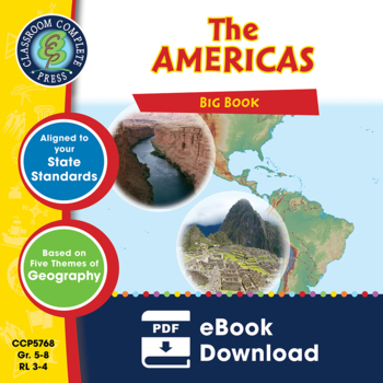
The Americas BIG BOOK Gr. 5-8
Take a road trip with our Americas 2-book BUNDLE. About this Resource: Start off by traveling the northern tundra all the way down to the Yucatan Peninsula in North America. Locate where many of the continent's largest cities were developed. Decide whether a situation is either a positive or a negative human/environment interaction based on the scenario. Collect facts about the Rocky Mountains on a web organizer. Then, become aware of the endangered environment and wildlife that inhabit South Am
Grades:
5th - 8th
Types:
Mapping Skills with Google Earth: Map Elements Gr. 6-8
This is the chapter slice "Map Elements" from the full lesson plan "Mapping Skills with Google Earth"About the FULL RESOURCE:Move on from a basic understanding of map reading to a more complex one with our engaging resource designed for students in grades six to eight. Students will further develop their ability to read and understand maps by looking at weather and population maps. Then, students will engage in mapping their country in detail, including states, provinces, capitals, cultural and
Subjects:
Grades:
6th - 8th
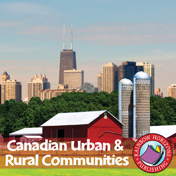
Canadian Urban And Rural Communities Gr. 2-3
Our five-part unit focuses on different communities throughout Canada, as children learn about the similarities between urban and rural communities.
About this Resource:
The resource begins with a set of lesson plans for the teacher. Details are provided for the activities that the children participate in during each lesson. Then, a student booklet in which children record their findings and research is provided. The resource ends with activities that are used during the lessons of the unit,
Grades:
2nd - 3rd
Types:
Showing 1-24 of 321 results


