1,412 results
Free geography handouts
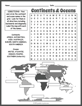
FREE Seven Continents & Oceans Word Search Puzzle Worksheet Activity
Help your kiddos learn the names of the continents and oceans with this fun (and FREE) puzzle worksheet. Puzzlers must find the twelve words in the word search grid and then place them correctly on the world map. Puzzles make fun no prep activities for early finishers, bell ringers, morning work, handouts, homework, unit or lesson plan supplements, sponge activities, introductions to new topics, classroom themes, and sub files.The 12 hidden vocabulary words are: Africa, Antarctica, Arctic, As
Subjects:
Grades:
3rd - 6th
Types:
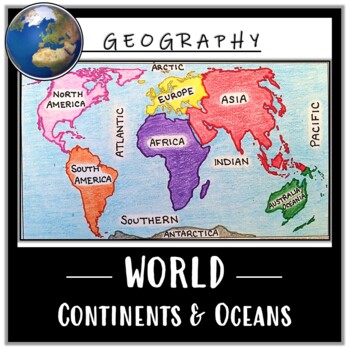
World Map Activity- Label & Color the Continents and Oceans! (Google Compatible)
Use this Continents & Oceans Map Coloring activity to jump-start your lesson! Each student will make their own, personalized world map that focuses on labeling and coloring the continents and oceans, all while enhancing their knowledge of the earth. After the map activity, your students can test their skills with a blank map assessment! A completed, colored map is included to use as reference. This resource is Google compatible, but the blank map is intended to be printed for coloring and
Grades:
5th - 12th
Types:
CCSS:
Also included in: Ancient Civilizations / World Maps BUNDLE- Color & Label Activities!
Geography Packet: Continents, Oceans, & Hemispheres
GEOGRAPHY PACKET: Choose from eight OCEANS and CONTINENTS practice sheets - all ready made for you. NOTE: The packet is updated to include the FIVE main oceans: Arctic, Atlantic, Indian, Pacific, Southern), and an ANSWER KEY to the Geography Packet (excluding the poetry pages). Currently the GEOGRAPHY PACKET Consists of:* the seven continents* the five main oceans * directions - N, S, E, W* hemispheres - northern, southern, eastern, western * labeling maps* answer keys (excludes two poetry page
Subjects:
Grades:
2nd - 4th
Types:
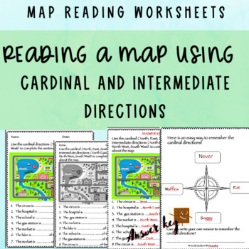
FREE Reading a map using compass directions + ANSWER KEY
This product includes worksheets about reading maps using cardinal and intermediate compass directions. They can easily be differentiated. One of the worksheets is about the cardinal directions only and has fewer and more simple sentences. The other worksheet is about both cardinal and intermediate directions. The worksheets are in both colored and black and white versions. It includes some extra guidelines sheets too.Check out my FREEBIE compass directions worksheets too! https://www.teacherspa
Grades:
2nd - 4th
Types:
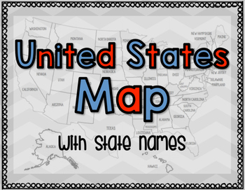
United States Map with State Names
You're search for the PERFECT United States map is over!
This black and white version has student learning in mind and contains the FULL STATE NAMES! This map is also part of my larger bundle on the Electoral College.
Click here to view it!
If you have any questions regarding any part of this product, please do not hesitate to contact me.
Thank you!
Subjects:
Grades:
1st - 12th, Higher Education, Staff
Types:
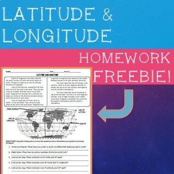
Latitude & Longitude Homework Sheet
Self contained reading and question sheet to help students understand the basics of latitude and longitude. Great review for homework or an introduction to an activity. Great for elementary and low middle school. Vocabulary covered: Latitude, Longitude, Equator, and Prime Meridian.If you enjoy my FREE product, please leave a review! If you like it, check out my other FREE homework handouts below:- Introduction to Economy Review Sheet- Types of Government
Grades:
3rd - 6th
Types:
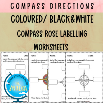
FREE Compass directions worksheets ( cardinal, intermediate)
This Freebie product includes compass rose labelling worksheets using cardinal and intermediate compass directions. The worksheets have been made in two forms : with/without Word Bank - colored/black &whiteThis resource is great for grade 2 or grade 3 map skills unit. I would really appreciate if you leave a feedback whether you find this resource helpful.ABOUT ME I am a Primary School teacher with international schools background holding Postgradute degree in Education (PGCEi master’s level
Grades:
2nd - 4th
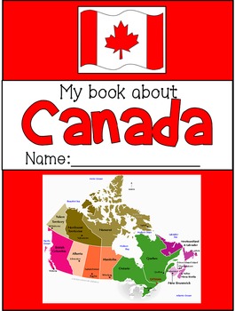
My Book About Canada - FREE 8-page Symbols of Canada Booklet
This completely editable booklet has 8 pages of Canadian symbols and facts for primary students. Each page has images to colour and simple, fill in the blank sentences to learn about Canadian symbols (answer keys provided).Some symbols included are:-Canadian map-Canadian flag-Maple Leaf-Beaver-RCMP-Totem Poles-Canada Day-O Canada (National Anthem)---------------------------------------------------------------------------------------*Follow me for notifications of new products, discounts, sales,
Grades:
1st - 2nd
Types:
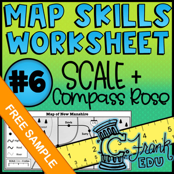
Map Skills Worksheet: Scale & Compass Rose #6 (NO PREP) - Free Sample!
Looking to track student progress with map skills? This worksheet not only reviews crucial map comprehension skills, the accompanying answer key and data tracker allow teachers to see which specific skills students have mastered or which may be in need of review.I hope you enjoy this FREE resource! To see more of what my store has to offer, please check out the following: o ALL Map Skills Worksheetso Map Skills Worksheets – Calculating Scaleo Map Skills Worksheets – Using the Compass Rose Lookin
Grades:
5th - 8th
Types:
Also included in: BUNDLE: 5 Map Skills Worksheets: Scale & Compass Rose (NO PREP) #6-10
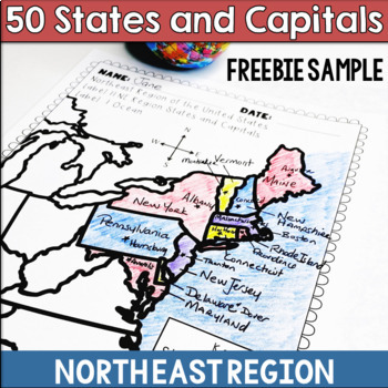
50 States and Capitals Northeast Region Freebie Sample
Make learning the 50 states and capitals more fun with my Northeast Region States and Capitals freebie sample This is one of the 5 regional map activity packets offered in a larger bundle in my store. If you enjoy this freebie, check out the full activity linked below.The United States and Capitals Geography Review Activities and Assessment BundleThe United States and Capitals Geography Review ActivitiesThe United States and Capitals Geography by Regions Printables & AssessmentsIncluded:• No
Grades:
4th - 6th
Types:
Also included in: 50 States and Capitals Bundle Map Print & Digital Resource 50% OFF
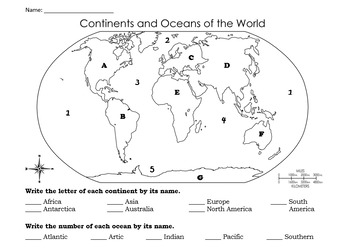
Continents and Oceans Quiz & Study Guide
This bundle includes an elementary level quiz and study guide on the world's continents and oceans. It also includes an Answer Key.*Study guide edited to include Arctic Ocean! :)
Grades:
2nd - 5th
Types:
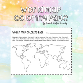
World Map Coloring Page Continents and Oceans
Use this fun, free coloring page to help students learn their continents and oceans! Students will be directed to color and label the three primary oceans (Atlantic, Indian, Pacific) and the six primary continents (Africa, Asia, Australia, Europe, North America, South America).
Subjects:
Grades:
1st - 9th
Types:
Maps From Around the World {The 7 Continents}
This product is simple maps of the seven continents. Each map has the name of the continent, the names of the countries and a compass to show which hemisphere it is located in.
The way that I used these maps was to label the oceans as well as to glue each map to the front of a file folder so that the students could store all their related work inside.
Thank you for downloading one of my Freebies! I hope you enjoy the product and find it useful. Your feedback would be appreciated.
Subjects:
Grades:
2nd - 5th
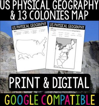
US Physical Geography & 13 Colonies Maps
US Physical Geography and 13 Colonies Maps - Print & DigitalThis is a great activity to do with your students at the beginning of your US History or APUSH class! Whether your students are from the States or you are teaching these classes abroad, this is a good refresher/introduction to the geography of the States.I usually give this out at the beginning of the year so students can become more familiar with the geography we will be referencing throughout the course. Using Google Classroom? No
Subjects:
Grades:
4th - 12th
Types:
Latitude & Longitude Worksheets
This free resource is a 3 page set of worksheets introducing latitude and longitude. The set also includes answer keys. Worksheets are sometimes neccessary and are great when you have a substitute teacher. These worksheets contain definitions and information on latitude and longitude so they can be used by students independently.
Grades:
4th - 8th
Types:
CCSS:
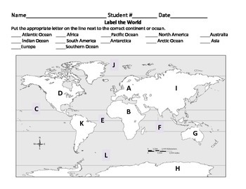
Label the World: Oceans and Continents
I needed something to use as an exit slip after discussing the continents and oceans with my students. This was a great way to quickly see who knew where each continent and ocean is located.
One of the sheets has students match the continent or ocean with the corresponding letter. The other has students look at the map and write down the name of the continent or ocean that goes with a particular letter. Both come with answer sheets.
Subjects:
Grades:
2nd - 4th
Types:
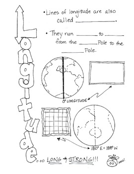
Cartoon Notes for Map Skills-Longitude
Visual notes for learning map skills...I call them 'Cartoon Notes!' These notes are a hit in my classroom, as they tie in visual learning with note-taking. I use these in my classroom to introduce, reinforce, and review with my students. Enjoy!
This is the page for teaching 'Longitude." Make sure you search for the page on 'Latitude' as well!
Subjects:
Grades:
3rd - 9th
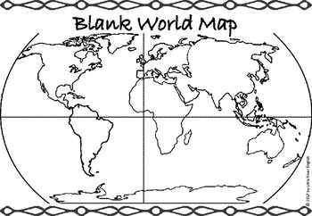
Continents/Oceans Blank World Map
A blank world map that students can use to name the continents and oceans. It also has lines for the Equator and Prime Meridian.Includes: 1-page PDFPart of the Continents and Oceans bundle (coming soon)----------------------------------------PLEASE NOTE:Files are designed for printing on A4 or A3 paper, so there may be very minor differences if printing on letter paper. Due to this being a digital download, refunds are not issued. Please contact me if you have any questions before purchasing.De
Subjects:
Grades:
3rd - 5th
Types:
Also included in: Continents/Oceans Bundle
Neighborhood Map
Theme-Community
Introduce the word community to the students and explain that is formed by a group of people who work together and live in the same area (such as a city, town, or neighborhood). Students can then draw their home and other places that are close by their neighborhood so they can get a "sense of place".
Subjects:
Grades:
PreK - 3rd
Types:
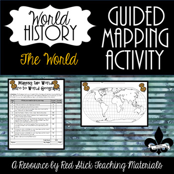
FREE Mapping The Continents and Oceans--No PREP!
See what my Guided Mapping Activities are all about with this FREE Guided Mapping Activity. This ready to use Mapping The World: Intro To World Geography Activity will give students a 10 step guided mapping activity. All students need to complete the assignment is a Textbook, Atlas OR the internet. This is a great activity to leave with a substitute, since it requires only a textbook, crayons and no prep!Included is the 10 step Mapping the World handout and an outline map of the Continents w
Subjects:
Grades:
7th - 11th
Types:
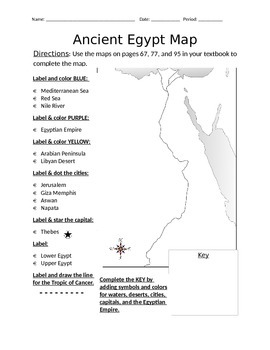
Blank Ancient Egypt Map
I have used this blank Ancient Egypt map as an introduction to my ancient Egypt unit with 6th grade regular and ELL students in social studies. Not only does this help with students' geography skills, but it helps practice following basic written directions.
Subjects:
Grades:
5th - 7th
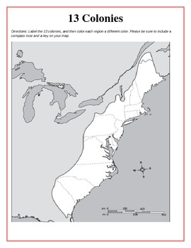
13 Original British Colonies Blank Map
This is a map of the original 13 British Colonies that is blank and able to be filled out by students. The directions also state that students are to color the three regions and include a key and compass rose on their maps. Great way for the students to learn about the 13 Original colonies.
If you like this printable, please visit my store and see what else I have!!! www.teacherspayteachers.com/store/Kathryn-B
Subjects:
Grades:
5th - 12th
Types:
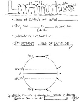
Cartoon Notes for Map Skills-Latitude
Visual notes for learning map skills...I call them 'Cartoon Notes!' These notes are a hit in my classroom, as they tie in visual learning with note-taking. I use these in my classroom to introduce, reinforce, and review with my students. Enjoy!
This is a page for teaching 'Latitude.' Please see the 'Longitude' page too!
Subjects:
Grades:
3rd - 8th
Emergency Sub Plans
This free resource is a sampling of the lessons that you will find in the complete version of Emergency Sub Plans for the Week! Gr 3-5.This resource contains one day's worth of ELA, Math, Science, and Social Studies lesson plans. Please click on the link below to preview the complete version of the product.
****************************************************************************
You May Like:
Emergency Sub Plans for the Week: Gr 3-5
********************************************************
Grades:
3rd - 5th
Types:
Showing 1-24 of 1,412 results


