320 results
Free geography homeschool curricula
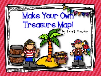
FREEBIE: Make Your Own Treasure Map!
Pirate Treasure Map:
Get your students excited about learning about maps by having them make their own pirate treasure maps! This is a fun activity to accompany any unit on maps! Students will color and cut out the symbols. They will paste the symbols on their map and form a trail to the treasure! "X" marks the spot!!
~iHeart Teaching
Subjects:
Grades:
PreK - 3rd
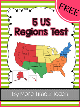
FREE- 5 US Regions Map Test
This FREEBIE can be used to test your students on the location of each of the 5 US Regions. It is a quick, simple, and straight forward assessment. An answer key has also been provided for your convenience :0)
If you would like to take a look at the units I have created for each of the 5 regions, simply click on the links below:
*West Region Unit
*Southwest Region Unit
*Southeast Region Unit
*Northeast Region Unit
*Midwest Region Unit
You can purchase each of the 5 regions separately or save $
Grades:
2nd - 4th
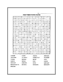
Fifty States Word Search
United States word search. Fifty states broken down in two puzzles.
Subjects:
Grades:
4th - 12th, Higher Education
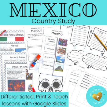
Mexico Country Study - Print & Teach Lesson - Reading Passages & Activity Pages
Take your learners on a tour of the world all from the comfort of your classroom! This print & teach country study teaches students about the beautiful country of Mexico. This product includes:4 pages of information to teach students basics about the country & cultureDifferentiated look back (or research) and color pageDifferentiated graphic organizer to record new learningDifferentiated words to know worksheetWord FindDay of the Dead art pageBlank world map to use to locate / color Mexi
Grades:
K - 3rd
Also included in: EPCOT's World Showcase Complete Country Study Unit Bundle - 11 week unit
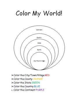
The World Where I Live...
This is a jam-packed, 40 page unit full of multi-sensory and multi-grade-level activities all centering on the relationships between the following concepts: city/town/village, county, state, country, continent, and community helpers. The following mathematical concepts are also explored: range, median, mode, and average (mathematical mean).
The following activities are included in this unit: Key vocabulary exercise, coloring Venn diagram activity, "Greater Than, Less Than" activity page, "My
Subjects:
Grades:
K - 8th
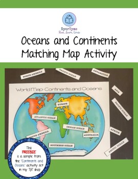
Continent and Ocean Matching Map Activity
What fun it is to study about our world! In this free download, you will have a world map of the oceans and continents! Children will be able to attach the labels to the map to identify each part. Velcro pieces are attached to the backs of the labels and to the oceans and continents of the map for a fun review activity.
Subjects:
Grades:
PreK - 4th
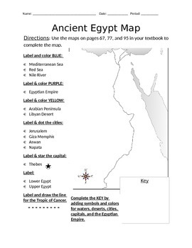
Blank Ancient Egypt Map
I have used this blank Ancient Egypt map as an introduction to my ancient Egypt unit with 6th grade regular and ELL students in social studies. Not only does this help with students' geography skills, but it helps practice following basic written directions.
Subjects:
Grades:
5th - 7th
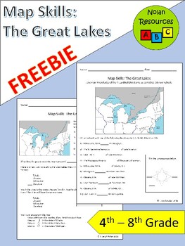
FREE Great Lakes Maps Worksheets
The Great Lakes are a vital part of the United States. Use these 2 free worksheets to provide your students with recognition and practice their map skills. Skills covered include:- location and recognition- cardinal directions- compass roseAreas covered include:- 5 Great Lakes- 4 Port Cities: Milwaukee, WI; Chicago, IL; Toledo, OH, and Cleveland, OH- Wisconsin, Illinois, Michigan, Ohio, and New York- Mississippi River- CanadaTerms of UseSince this is a free product, you may share this with other
Subjects:
Grades:
4th - 8th
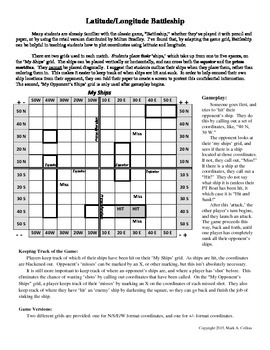
Latitude and Longitude Battleship Game
Use a modified version of the age-old game, Battleship, to teach students how to use coordinates to find locations! Great for geography courses, this tool will help your students have fun as they learn.
Subjects:
Grades:
7th - 11th
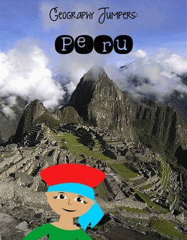
Geography Jumpers: Peru
COMPLETELY UPDATED AND RENOVATED JUNE 2016!
****Free!**** Download soon so you can become acquainted with my Geography Jumpers series!!!
This unit explores the country, the continent it's located in, it's flag, and many other facts, including its culture and what school is like there. This is one unit in a series that includes 25 countries.
This series is perfect for preschoolers, Pre-K, Kindergarten, first grade, and second grade.
Items included:
Fact Sheet
Photo cards
Word wall cards
Coun
Subjects:
Grades:
PreK - 2nd
United States Geography Worksheets - Free Sample
This is a sample of the 70 page United States Geography Worksheets.You will be amazed at how quickly your students will learn with these easy to use worksheets! Just print and go!These worksheets facilitate memorizing state information in a fun, easy, no-prep way! Great for early finishers, morning work, an extra-curricular unit, etc.Included at the end of the full unit are United States flag posters in color that can be printed and displayed to use for the flag coloring activities.The full, 70
Subjects:
Grades:
K - 6th
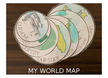
My Own World Map
Have your children learn about the world around them in relation to their own home address, street name, city, state, country, continent, and world map. Have them color in the map or color it in yourself. For our map we printed and then used a hole-punch to put our map together on a simple metal ring. The file is currently loaded with simple clip-art outlines for North America, United States and Florida, but can easily be interchanged with outlines from other continents, countries and states. Ti
Subjects:
Grades:
PreK - 4th
Free High School Travel Brochure Project
Resource Description:This free project resource is a great way to introduce research and self-directed project-based learning activities. Students study one hypothetical travel destination and create a brochure to persuade travelers to visit that destination. Note: The PDF is not editable.Check out these free learning activities relevant to educational travel:Educational Travel Planning ChecklistEducational Travel Project-Based Learning Assessment PortfolioIf you like this resource check out the
Subjects:
Grades:
9th - 12th
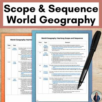
Free World Geography Scope and Sequence Pacing Guide
Are you teaching World Geography and trying to figure out what topics to teach and a pacing guide? Grab this free curriculum map for World Geography that is perfect for back to school planning! Easily teach middle or high school World Geography with this scope and sequence that breaks down each week into topics and standards. These are the 15 Units that this World Geography pacing guide will cover:Basic Geography SkillsPhysical GeographyEconomic GeographyPopulation GeographyCultural GeographyUS
Grades:
8th - 11th
World Geography Binder Cover, World Map, Flags of the World
This document pertains to the study of World Geography and contains the following:
* World Geography Cover Page
* World Map - this can be used to label and/or color
* Flags of the World Page - the flags can be cut-out and laminated to be used on a map or as flash cards
I used these items for our unit study on World Geography.
Thanks and enjoy!
Tori Sheppard
Subjects:
Grades:
K - 4th
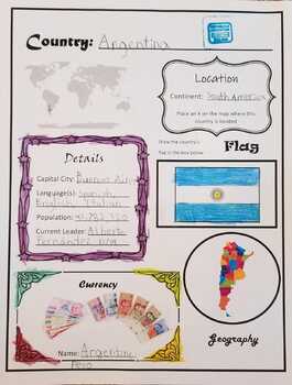
(FREE) My Trip Around the World - Countries Project
A scrapbook project for kids to learn about new countries. I kept the writing aspect to a minimum so this project can be adapted for younger ages as well. Simply choose a country and then research and glue pictures to the appropriate sections! You may print the country pages multiple times for each country you learn about
Subjects:
Grades:
PreK - 6th
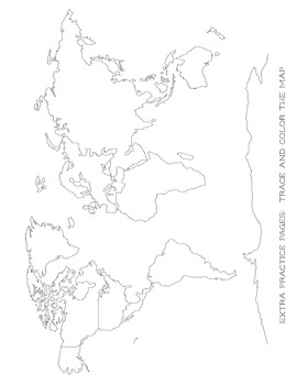
Map Tracing - Blob Mapping - Blank World Map - For All Ages
This is a great printable for your child to learn how to draw the map of the world. I have my kids trace the continents and then try and redraw it or trace over another paper. Eventually, the goal is to have them draw a map of the world by memory.
Perfect for all ages!
This is a great addition for your Classical Conversations notebook!
Check out my other freebies and other CC notebooks!
Subjects:
Grades:
PreK - 6th
Also included in: CC Cycle 2 Full Notebook All Subjects Discounted Bundle
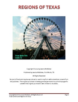
Texas Regions and Symbols
This is a one-two week study on the geographic regions (coastal plains, central plains, great plains, mountains and basins) and the symbols (bluebonnet, mockingbird, flag) of Texas. It is targeted for upper elementary, but can be modified for younger or older children. This study can be done independently by either homeschool or public/private school students using either books from the library or a computer. It has many hands on activities, lapbook templates and a salt map project.
Grades:
4th - 6th
Types:
Halloween Around the World *FREEBIE*
Super fun and informative activities to acquaint children with the customs of Halloween in other countries. This country comes with the information sheet, a cut and paste activity, and an activity to draw a line from where you live to that country. This is one of 13 countries total.
If you're interested in the full version, visit this link:
http://www.teacherspayteachers.com/Product/Halloween-Around-the-World-1475393
Subjects:
Grades:
PreK - 2nd
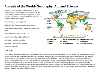
Animals of the World- Geography, Art, and Science
This activity provides animal outlines for the student to color and cut out to place on its matching continent on the map provided. A lesson on the geography of the earth, the formation of continents, biomes, basic evolutionary theory, and the development of special adaptations which have allowed animals to cover the globe in a variety of climatic conditions gives the child an understanding of both geographic and ecological concepts. The child should be able to identify all the continents, all t
Subjects:
Grades:
3rd - 5th
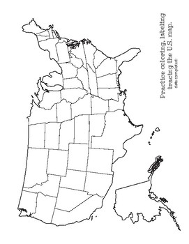
Map Tracing and Label USA - extra practice work sheet - For All Ages
This is a great printable for your child to learn how to draw the map of the USA. I have my kids trace and then try and redraw it or trace over another paper. Eventually, the goal is to have them draw a map by memory.
Great for practice with labeling! Or a great color sheet for the littles :)
Perfect for all ages!
This is a great addition for your Classical Conversations notebook!
Check out my other freebies and other CC notebooks!
Subjects:
Grades:
PreK - 6th
Also included in: CC Cycle 2 Full Notebook All Subjects Discounted Bundle
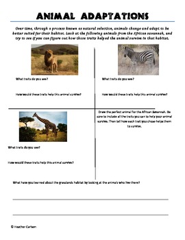
African Animal Adaptations
This worksheet helps students to develop an abstract understanding of the concept of Natural Selection. It helps them to discover that animals adapt in certain ways to help them to survive in their specific habitat. They become more critically aware of how animals adapt to their environments. In addition, by studying adaptations, students learn about inherent characteristics of the African Savannah, and gain a deeper understanding of it as a living habitat.
Subjects:
Grades:
2nd - 5th
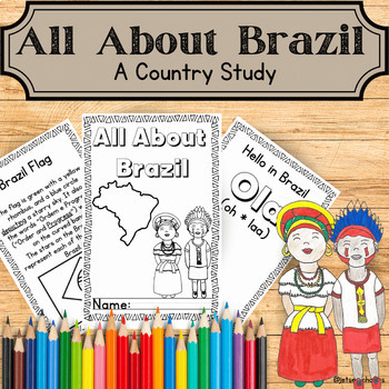
Brazil Country Study Mini Book (Reading Comprehension Context Clues and Craft)
This engaging 16 page informational mini booklet about Brazil is perfect for your 3rd, 4th, 5th and 6th grade class or homeschool students as a basic Brazil country study or reading comprehension center activity. The printable activity dives into enriching vocabulary and solidifies it with a context clue activity. Your Third, Fourth, Fifth, and Sixth Grade students will get excited about diving deeper into the culture with Portuguese greetings, coloring page and a related step by step craft! Th
Subjects:
Grades:
3rd - 6th
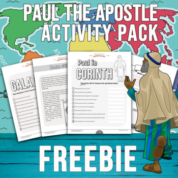
FREEBIE Paul the Apostle Activity Pack
Looking for Bible activities that will excite and engage your students? Have fun teaching them more about the Bible with this FREE Paul the Apostle Bible activity pack. Includes an answer key for teachers and parents.Who is it for?Kids ages 6-12, religious education teachers, homeschooling, and children's ministry leadersWhat you'll get...Bible quiz: Paul in CorinthBible worksheet: Roman citizenshipBible quiz: GalatiansBible worksheet: Galatians⭐️Need more Paul the Apostle activities for your cl
Subjects:
Grades:
3rd - 7th
Showing 1-24 of 320 results


