255 results
Free geography interactive notebooks
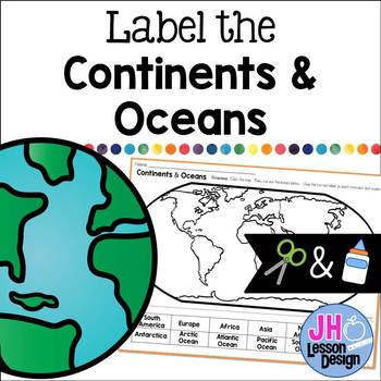
Label the Continents and Oceans: Cut and Paste
This cut and paste activity provides an opportunity for your students to practice labeling the continents and oceans on a world map.
Subjects:
Grades:
K - 5th
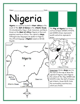
NIGERIA Introductory Geography Worksheet with map and flag
Introduce your students to the country of Nigeria in Africa with two worksheets (plus answer key). Simple map activity and reading comprehension questions. Your students will read a brief introduction to Nigeria (location, capital, flag, language), write 'Abuja' next to the star on the map to show the location of the capital, color the small map, and use the map and compass to answer 8 questions on page 2. Colored pencils and a pen or pencil are needed for this activity. No other prep needed. Ba
Subjects:
Grades:
3rd - 4th
Also included in: COUNTRIES OF AFRICA PRINTABLE WORKSHEETS BUNDLE
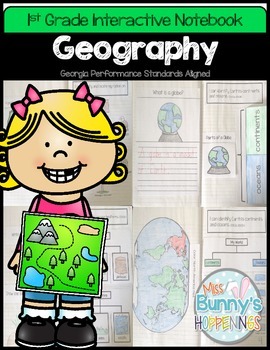
FREE Geography Interactive Notebook (1st Grade)
The Geography Interactive Notebook allows students to play an active role in their learning. The activities in this resource can be used to introduce or practice the Georgia Performance Standards:
SS1G2 The student will identify and locate his/her city, county, state, nation, and continent on a simple map or a globe.
SS1G3 The student will locate major topographical features of the earth's surface.
a. Locate all of the continents: North America, South America, Africa, Europe, Asia, Antarctica
Subjects:
Grades:
K - 2nd
Map Skills Interactive Notebook Flip-It Book
Interactive Notebooks are a fantastic way for students to learn new skills and maintain a record of learning. This Map Skills Flip-It Book could be used as individual pages as you introduce these topics or glued into notebook as a complete book.Includes 5 pages with skills for:continents and oceanscompass rosemap keyequatorSuggestions for use: 1. Students could complete one page at a time as you cover the material. They could trim the page and it could be placed individually into the intera
Grades:
2nd - 4th
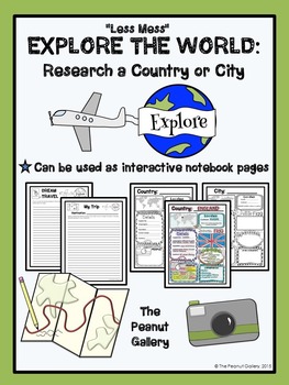
FREE "Less Mess" Explore the World: Research a Country or City
These pages can be used as interactive notebook pages or simply as stand-alone, ready to use student activity pages to make research of a country or city a bit more fun!
My “Less Mess” Interactive Notebook Activities allow for two simple steps: cut around the border and glue it in. That’s it! They are perfect for teachers who may have their students for just one short period per day. However, if you are a big fan of the “folds and flaps” that usually come with interactive notebooks, this resour
Subjects:
Grades:
4th - 7th
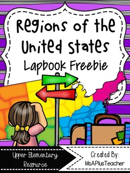
Regions of the USA Lapbook {Freebie}
This resource contains all the pages needed to make a Regions of the United States lapbook. These notes can be used with any textbook, article, or video. This product can also be used as interactive notebook pages for your Social Studies Interactive Notebooks. All interactive note pages can be used in a notebook or lapbook giving you ultimate teacher flexibility!
Topic include:
- Maps of United States Regions & Northeast
- Landforms Flapbook
- Waterways Flapbook
- Climate Flipbooks
- To
Subjects:
Grades:
3rd - 6th
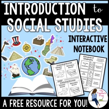
Introduction to Social Studies Interactive Notebook Graphic Organizers FREEBIE
These interactive notebook graphic organizers will help students organize information about their unit on the introduction to Social Studies!Interactive notebooks are an effective tool in the classroom. Not only can they assist students in keeping their work organized, but they are also an easy-to-access resource for reference throughout the year. The Introduction to Social Studies Interactive Notebook Graphic Organizers resource is intended as a resource for late-elementary and middle school ag
Grades:
5th - 8th
CCSS:
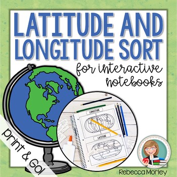
Latitude and Longitude Interactive Notebook Activity
Help your students master the tricky concepts of latitude and longitude with this print and go activity! These pieces - perfect for interactive notebooks or lapbooks - are sure to engage your students.© 2020 Rebecca Morley: Edventures at Home Resources. All Rights Reserved.You Might Also Like:Latitude and Longitude Worksheet ActivitiesLatitude and Longitude Boom CardsLooking For an Even BETTER Deal?!Leave feedback to earn valuable TPT credits for use on future purchases!Learn about sales and new
Grades:
4th - 6th
Also included in: Latitude and Longitude Worksheet and Activity Bundle

Maps and Globes Interactive Notebook Unit Geography FREEBIE Grades 6, 7, 8
Maps & Globes Interactive Notebook Freebie
This is a four piece maps and globes interactive notebook with assessments for middle school. This geography freebie includes:
- Types of Maps
- Parts of a Map
- Maps vs. Globes
- Hemispheres
If you like this resource, check out the What is Social Studies? Geography, Economics, & Citizenship Interactive Notebook Unit .
If you need more world history units, please follow my store for product updates!
Early People & Mesopotamia Interac
Grades:
5th - 7th
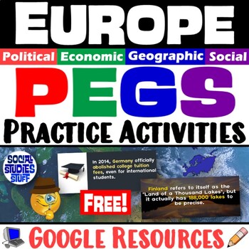
Europe PEGS Factors Practice Activity and Worksheet | Social Studies | Google
Examine Europe by looking at its PEGS factors (Political, Economic, Geographic, Social). Challenge students to classify & analyze facts about the continent by completing a fun, practice activity.Social Studies curriculum changes focus, sometimes drastically, from year to year. The PEGS factors are common themes that unite all SS classes. Similar ideas are taught as PESTLE, STEEP, or PEST. Building a strong foundation with these concepts leads to vertical alignment across grade levels. Use PE
Grades:
5th - 12th
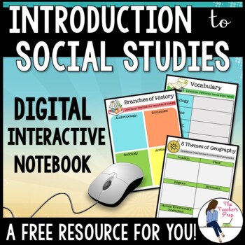
Introduction to Social Studies Digital Interactive Notebook for Google Drive
These digital interactive notebook graphic organizers will help students organize information about the study of Social Studies. They are compatible with Google Drive and TpT Easel!This FREE resource is a great way to engage your students while using the technology at their fingertips.Why should you use a Digital Interactive Product? *No cutting, gluing or paper needed! *Students work directly with their own copy of the file and their work is saved automatically on their Google Drive account *En
Grades:
5th - 8th
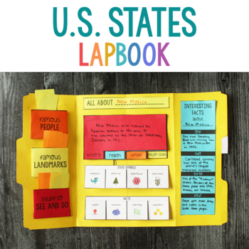
U.S. States State Report Lapbook
Use this free lapbook for a report on one of the US States.This lapbook introduces several different aspects of each state:famous peoplefamous landmarksstuff to see and dohistory of the stateregion of the country where the state isclimate of the statemajor cities interesting factsstate bird, tree, flower, insectstate capitalstate flagstate nicknamestate population
Grades:
4th - 5th
Types:
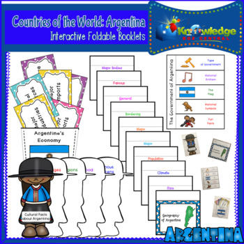
Countries of the World: Argentina Interactive Foldable Booklets - FREE
Explore Argentina as you create these interactive foldables for your Interactive Notebook or Lapbook.These 4 foldables cover:*The geography of the Argentina*Economic facts about Argentina*The government of Argentina*Cultural facts about ArgentinaThis ebook is a downloadable PDF file. Just follow the instructions, cut, fold, glue, and create!Don’t miss our other Countries of the World Interactive Foldable booklets!Countries of the World: Argentina Interactive Foldable Booklets – EBOOKCountries of
Subjects:
Grades:
Not Grade Specific
Also included in: Countries of the World Interactive Foldable Booklets BUNDLE - EBOOK
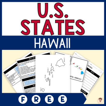
FREE Hawaii State Unit Study | Capital, Bird, Flower, Flag, Animal
A 1-day unit study of the Hawaii state capital. This LOW PREP resource includes a lesson plan, videos, worksheets and activities, interactive notebook pieces, and more.It makes a great addition to your Hawaii or U.S. states unit study; writing lessons or centers; social studies or history class; or just for fun. Perfect for second grade, third grade, and fourth classrooms, homeschool families, and cooperatives.Try before you buy! This is a free, abridged version of day 1 of my Hawaii State Unit
Grades:
2nd - 4th
Also included in: U.S. States Unit Studies BUNDLE | Capital, Bird, Flower, Flag, Animal
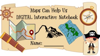
FREEBIE DIGITAL Interactive Notebook *Maps Help Us* on Google Slides
MAPS Skills: Compass Rose, map key and symbols, city, state, school, and country for USA, and quick check formative assessmentMake your own copy, then share your copy with your students. Let them edit their own copy so that they can type into their copy.
Grades:
PreK - 2nd
Types:
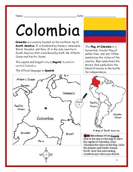
Introduce Colombia Printable Worksheet with map and flag
Introduce your learners to Colombia with two printable handouts (plus answer key). Simple map activity and reading comprehension questions. Print and Go!Your students will read a brief introduction to Colombia (location, capital, language, flag), write 'Bogotá' next to the star on the map to show the location of the capital, color the map, and use the map and compass to answer (7) questions on page 2. Colored pencils and a pen or pencil are needed for this activity. No other prep needed. Basic G
Subjects:
Grades:
3rd - 5th
Also included in: Spanish Speaking Countries Printable Worksheets BUNDLE
"Me on the Map" Booklet
Based upon the book by Joan Sweeney, students are able understand their relationship to the world around them by completing this "Me on the Map" booklet. (This booklet is meant to be stapled into a layered-folded booklet with the names of each map displayed on the bottom of the finished product.)
Subjects:
Grades:
K - 2nd
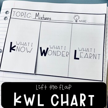
KWL Chart Graphic Organizer Template
KWL (know, wonder, learnt) charts are a great way of activating students' prior knowledge before conducting or completing research tasks as well as organizing and tracking information. They play a significant role in promoting metacognitive thinking as well, as students must continually reflect on and evaluate what they already know, that they want to know, and what they have learnt at the end of their project. This resource includes 2 KWL graphic organizer designs in both A4 and A5 versions (2
Subjects:
Grades:
3rd - 5th
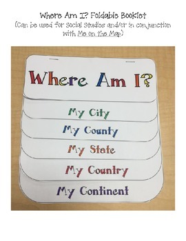
Where Am I? Printable Booklet / Foldable for Social Studies
This printable can be used along or glued into an interactive notebook. It is great used for Social Studies to teach geography.
Pages include:
-My City
-My County
-My State
-My Country
-My Continent
It is great used with the book Me on the Map.
Subjects:
Grades:
K - 8th
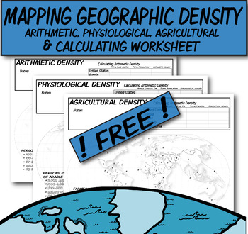
**Free** Mapping & Calculating Density-Blank Map **Coloring Book Series**
**Geography Coloring Book Series**This coloring book map-page covers three prominent types of density discussed in AP Human Geography. I would use this when discussing the three types of distribution (arithmetic, physiologic, and agricultural).Step 1) Lecture on how to calculate these density types.Step 2) Students use QR codes to find current information needed to calculate densities.Step 3) Discuss comparisons/contrasts between the countries and help explain why.Step 4) These three blank densi
Grades:
Not Grade Specific
2nd Grade Social Studies Interactive Notebooks FREEBIE
A two activity freebie taken right from my 2nd Grade Social Studies Interactive Notebook set! These were two of our favorite activities to do as a class and it gives you a small sneak into what is included in the full set.
Your feedback is appreciated as always!
Grades:
1st - 3rd
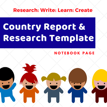
Country Report Research Template
Country research report project template!
This template is everything you need in one sheet for a complete country report. The template will work with any country. Students are encouraged to find information and make reporting decisions. I
The report template includes:
✔ Identify country on a world map
✔ Draw and Color the country flag
✔ 3 Large, fact reporting blocks.
✔ Lined spaces for students to use
✔ Geographic Features blocks. Students can write, draw and describe in one location.
✔ Foo
Grades:
3rd - 8th
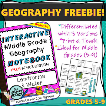
Interactive Notebook Geography Lesson FREEBIE ~ Landforms & Waterways
This FREEBIE includes a complete Interactive Middle Grade Geography Notebook Lesson on Landforms & Water. Concepts include Canal, Delta, Gulf, Island, Isthmus, Lake, Peninsula, River, Waterfall.
It is a bonus lesson that is not included in my other notebook products, so be sure to download this if you own those as well.
This lesson includes a differentiated activity and answer key and is aligned to CCSS standards for grades 5-9.
If you are considering one of my other notebook products, t
Grades:
5th - 9th
Showing 1-24 of 255 results

