566 results
Free geography homework
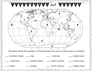
Label the Continents and Oceans Social Studies SOL 3.5
Students will need to correctly label the 7 continents and 5 oceans. This could be used as a quiz or homework.
Social Studies SOL 3.5 Aligned
Subjects:
Grades:
2nd - 4th
Types:
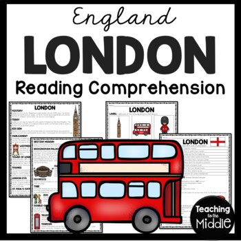
London England Reading Comprehension Worksheet Big Ben Europe
This passage gives an overview of the city of London, England. Students label 6 items and give two facts about each. They also answer 14 questions (matching and multiple choice) to assess their understanding. INCLUDES:Article 6 items to label and give two facts about each14 questions- matching, multiple choiceColor and BW VersionsKey IncludedPart of my England Reading Comprehension Bundle*I do my best to make sure I do not have typos, but occasionally they slip through. PLEASE message me and I
Grades:
4th - 7th
Types:
Also included in: England Reading Comprehension Worksheet Bundle Country Studies Europe
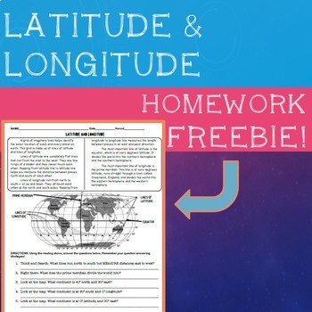
Latitude & Longitude Homework Sheet
Self contained reading and question sheet to help students understand the basics of latitude and longitude. Great review for homework or an introduction to an activity. Great for elementary and low middle school. Vocabulary covered: Latitude, Longitude, Equator, and Prime Meridian.If you enjoy my FREE product, please leave a review! If you like it, check out my other FREE homework handouts below:- Introduction to Economy Review Sheet- Types of Government
Grades:
3rd - 6th
Types:
4th Grade Social Studies Stretchers: Freebie Sampler!
Use this 6 practice page sampler as an opportunity to get an idea of how my complete YEARLONG Social Studies Stretcher Bundle will keep your students practicing and reinforcing key concepts, events, skills, and terms EVERY WEEK! The full set includes 30 review checks which spiral through the 4 main areas of the Ohio New Learning Standards for Social Studies found in 4th grade! Each and every sheet includes a question pulled from a standard in History, Geography/Map Skills, and Government/Econ
Subjects:
Grades:
3rd - 5th
Types:
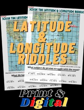
FUN Latitude & Longitude Riddles
This product includes TWO fun and engaging worksheets that will help students practice finding absolute location using their latitude & longitude skills. Both maps include an example to show students how to locate coordinates and how to write them. This product is bundled with the print and digital options. The digital version in in Google Slides format and simple to use!
Grades:
5th - 12th
Types:
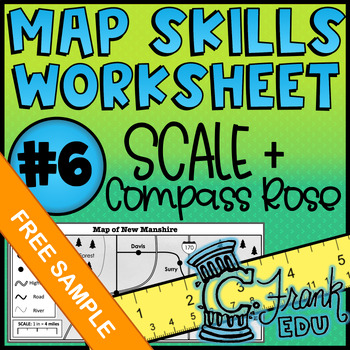
Map Skills Worksheet: Scale & Compass Rose #6 (NO PREP) - Free Sample!
Looking to track student progress with map skills? This worksheet not only reviews crucial map comprehension skills, the accompanying answer key and data tracker allow teachers to see which specific skills students have mastered or which may be in need of review.I hope you enjoy this FREE resource! To see more of what my store has to offer, please check out the following: o ALL Map Skills Worksheetso Map Skills Worksheets – Calculating Scaleo Map Skills Worksheets – Using the Compass Rose Lookin
Grades:
5th - 8th
Types:
Also included in: BUNDLE: 5 Map Skills Worksheets: Scale & Compass Rose (NO PREP) #6-10
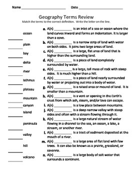
Geography Vocabulary ~Basic Landforms Terms and definitions~ Matching Worksheet
Want more??I offer a power point lesson to go with this activity!Matching worksheet for practicing geography vocabulary terms.The following terms are included:bayisthmusplateauislandmountain peninsulahillvolcanovalleycanyonriverdeltaplainoceanPlease let me know if you come across any typos or issues. I have read and reread items many times. But sometimes I miss something. If there is an error, I will promptly correct it!All images are free to use even commercially!Updated August 2019
Subjects:
Grades:
3rd - 6th
Types:
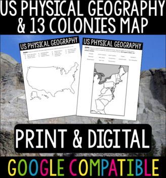
US Physical Geography & 13 Colonies Maps
US Physical Geography and 13 Colonies Maps - Print & DigitalThis is a great activity to do with your students at the beginning of your US History or APUSH class! Whether your students are from the States or you are teaching these classes abroad, this is a good refresher/introduction to the geography of the States.I usually give this out at the beginning of the year so students can become more familiar with the geography we will be referencing throughout the course. Using Google Classroom? No
Subjects:
Grades:
4th - 12th
Types:
FREE - Continents and Oceans: "World Map Outline & Continent Map" (K-6)
FREE - Continents and Oceans: World Map Outline - Geography Bundle (K-6). In this freebees printables: "World Map Outline & Continent Map" (pdf). Continents and Oceans is part of the larger Geography Bundle: Maps, Questions, Labeling, which includes the following: Click links for full previews. A) 28 USA Maps• USA – 13 Colonies• USA – Civil War 1860• USA – Electoral Map• USA – Federal Land• USA – Goat Population• United States of America (abbreviations)• USA – Major Cities & Interst
Subjects:
Grades:
K - 6th
Types:
FREE - Map Skills | North America (Gr. 3-7)
FREE - Map Skills - Geography Bundle. In this free map skills sample: North America Map & Questions (pdf). Map Skills is part of the larger Geography Bundle: Maps, Questions, Labeling, which includes the following:Click links for full previews.A) 28 USA Maps• USA – 13 Colonies• USA – Civil War 1860• USA – Electoral Map• USA – Federal Land• USA – Goat Population• United States of America (abbreviations)• USA – Major Cities & Interstates• USA – Major Cities• USA – Major Cities• USA – Mani
Subjects:
Grades:
K - 12th
Types:
Also included in: Top Sellers on TpT
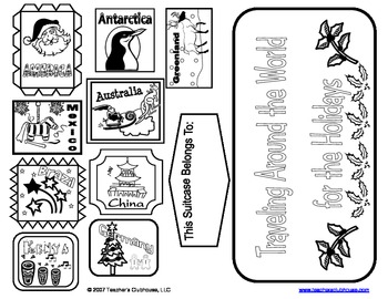
Holidays Around the World Suitcase
Our Holidays Around the World Suitcase includes a letter to send home requesting cereal boxes for creating suitcases to hold souvenirs from Christmas Around the World travels. (Correlates with our Christmas Around the World Unit at http://www.teacherspayteachers.com/Product/Christmas-Around-the-World-Unit-from-Teachers-Clubhouse). Includes letter, directions, souvenir suggestions, handle templates, and country stamps.
*******************************************************************
Connect
Grades:
1st - 3rd
Types:
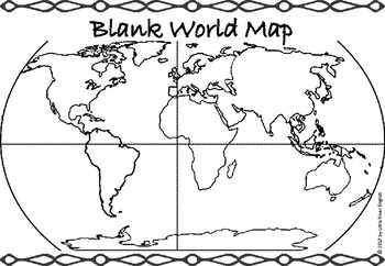
Continents/Oceans Blank World Map
A blank world map that students can use to name the continents and oceans. It also has lines for the Equator and Prime Meridian.Includes: 1-page PDFPart of the Continents and Oceans bundle (coming soon)----------------------------------------PLEASE NOTE:Files are designed for printing on A4 or A3 paper, so there may be very minor differences if printing on letter paper. Due to this being a digital download, refunds are not issued. Please contact me if you have any questions before purchasing.De
Subjects:
Grades:
3rd - 5th
Types:
Also included in: Continents/Oceans Bundle
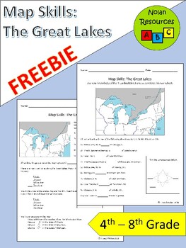
FREE Great Lakes Maps Worksheets
The Great Lakes are a vital part of the United States. Use these 2 free worksheets to provide your students with recognition and practice their map skills. Skills covered include:- location and recognition- cardinal directions- compass roseAreas covered include:- 5 Great Lakes- 4 Port Cities: Milwaukee, WI; Chicago, IL; Toledo, OH, and Cleveland, OH- Wisconsin, Illinois, Michigan, Ohio, and New York- Mississippi River- CanadaTerms of UseSince this is a free product, you may share this with other
Subjects:
Grades:
4th - 8th
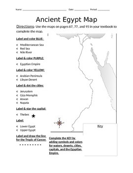
Blank Ancient Egypt Map
I have used this blank Ancient Egypt map as an introduction to my ancient Egypt unit with 6th grade regular and ELL students in social studies. Not only does this help with students' geography skills, but it helps practice following basic written directions.
Subjects:
Grades:
5th - 7th
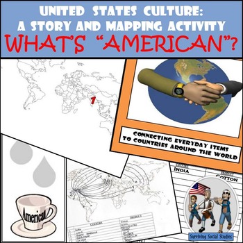
United States Culture: A Story and Mapping Activity
United States Culture. What exactly does "American" mean? This United States Culture: Story and Mapping Activity has students read a one-page story about a day in the life of an American teenager and the 20 items they use throughout their day. The items may seem "American,” but many have their origins elsewhere. Students plot the location of the 20 places, draw arrows from that location back to the city they live in, and complete an organizational table as well as come up with a short answer
Subjects:
Grades:
4th - 10th
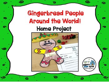
Gingerbread People Around the World! Home Project
Are you teaching a Christmas Around the World unit in your classroom? If the answer is yes, this is the perfect addition! This home project asks your students to choose a country and decorate their gingerbread person accordingly!It includes:* parent letter w/ suggested web resources* gingerbread man printable template* SUPER CUTE boarding pass sheet for creative response!* Bulletin Board IdeaTHIS IS PART OF MY CHRISTMAS AROUND THE WORLD UNIT! Click below to check it out!Christmas Around the Worl
Grades:
1st - 2nd
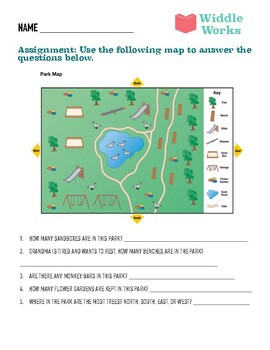
Reading a Map Worksheet - Simple and Fun!
Get your students excited about learning geography and spatial reasoning with this fun and challenging map-based worksheet from Widdle Works! Featuring a detailed map of a local park, this worksheet challenges students to answer a series of questions based on the map. From counting sandboxes to locating the most heavily treed areas of the park, students will sharpen their observational and analytical skills as they work through each question. With colorful illustrations and clear instructions, t
Subjects:
Grades:
K - 3rd
Types:
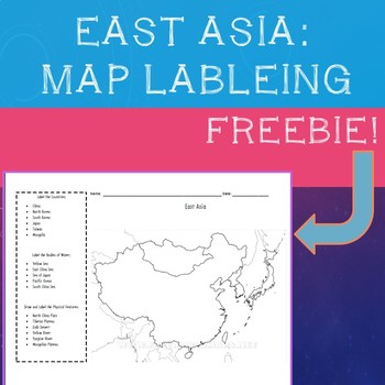
East Asia Map Labeling Freebie
A simple, fill in the blank map of East Asia with prompts to label all major physical features, bodies of water, and countries:"Label the Countries:· China· North Korea· South Korea· Japan· Taiwan· MongoliaLabel the Bodies of Water:· Yellow Sea· East China Sea· Sea of Japan· Pacific Ocean· South China SeaDraw and Label the Physical Features:· North China Plain· Tibetan Plateau· Gobi Desert· Yellow River· Yangtze River· Mongolian Plateau" Compatible with most maps on classroom set of Atlas's or
Subjects:
Grades:
4th - 10th
Types:
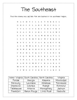
Southeast States and Capitals Word Search
Word search for the states and capitals of the Southeast region of the United States.
Figuring Out Fourth
Subjects:
Grades:
3rd - 5th
Types:
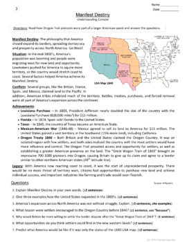
FREE - Manifest Destiny Worksheet
FREE - Manifest Destiny Worksheet. One free Manifest Destiny worksheet for your Westward Expansion unit, from the larger Westward Expansion (36 Worksheets for $3). Need the bundle? American History Bundle (200 worksheets for $5).----------------------------------------------------------------------------------------And from the larger ensemble...SOCIAL STUDIES13 Colonies (43 worksheets)American History (88 worksheets)Bundle - US History & US GeographyConstitution (8 kid-frien
Grades:
4th - 8th
Types:
Also included in: Top Sellers on TpT
FREE Antarctica Maps and Coloring Sheets | Black and White | Printable
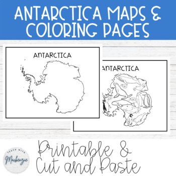
Free Antarctica Maps and Coloring Sheets | Black and White | Cut & Paste | PrintableThese black and white Antarctica worksheets can be printed off and copied for students to color, cut and paste, and reference. Due to the black and white simple colors, students can also color in the maps and worksheets to their liking. They can also be used for a map in your modern classroom. The first page is a map of Antarctica. The second page is a coloring page with common animals of Antartica. The third
Grades:
PreK - 8th
Types:
**Free** Mapping & Calculating Density-Blank Map **Coloring Book Series**
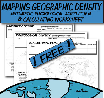
**Geography Coloring Book Series**This coloring book map-page covers three prominent types of density discussed in AP Human Geography. I would use this when discussing the three types of distribution (arithmetic, physiologic, and agricultural).Step 1) Lecture on how to calculate these density types.Step 2) Students use QR codes to find current information needed to calculate densities.Step 3) Discuss comparisons/contrasts between the countries and help explain why.Step 4) These three blank densi
Grades:
Not Grade Specific
Chernobyl Reading Comprehension Worksheet Europe Ukraine Nuclear Disasters
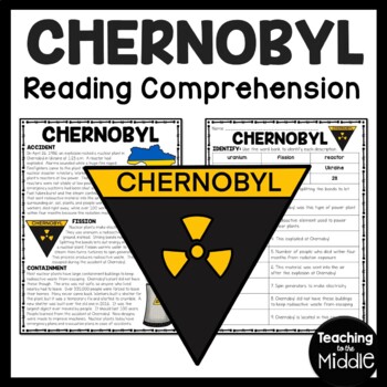
This passage briefly describes nuclear disaster of Chernobyl. 9 questions (identify) assess students' understanding. I've included a color and black and white version, as well as the key. Includes:Article 14 questions (identify and multiple choice)Color and BW VersionsKey*I do my best to make sure I do not have typos, but occasionally they slip through. PLEASE message me and I will correct it quickly to ensure my product meets your expectations. Thanks!!*If you don't already, Follow Me!
Subjects:
Grades:
5th - 7th
Types:
Longitude and Latitude Treasure Hunt Map
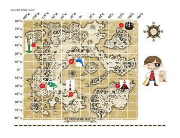
Send your students on a treasure hunt by finding latitude and longitude coordinates along the way!
Subjects:
Grades:
3rd - 5th
Types:
Showing 1-24 of 566 results

